Parish Wood

Wood, Forest in Gloucestershire Forest of Dean

England

Parish Wood

The Resthouse A distinctive house by the A40 just west of Huntley.
The Resthouse Credit: Jonathan Billinger

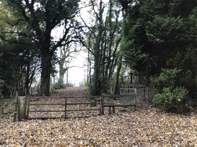
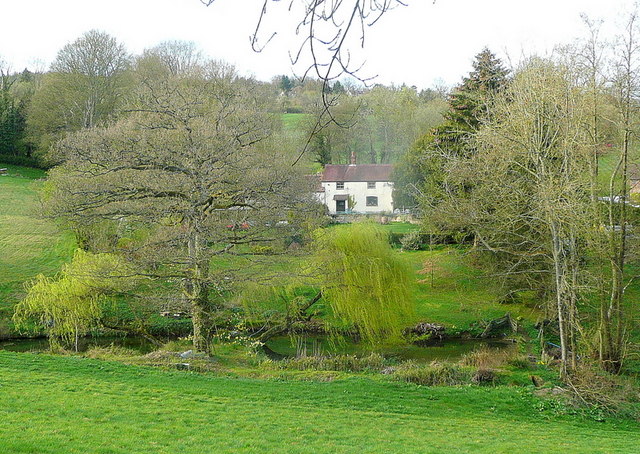
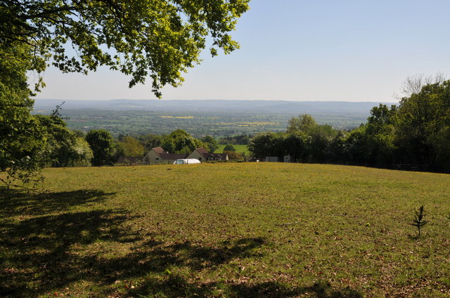
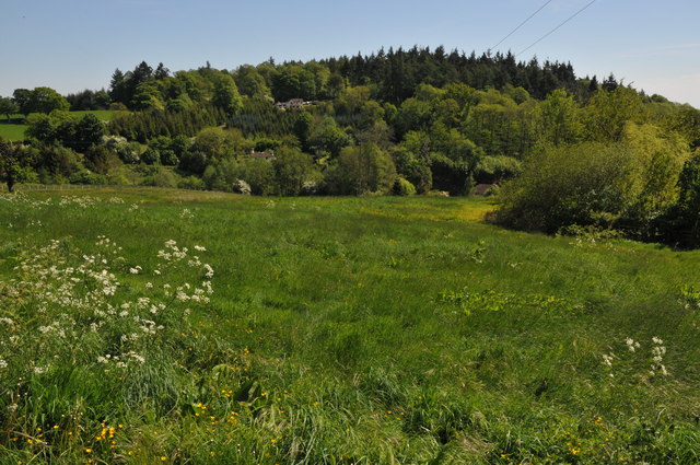
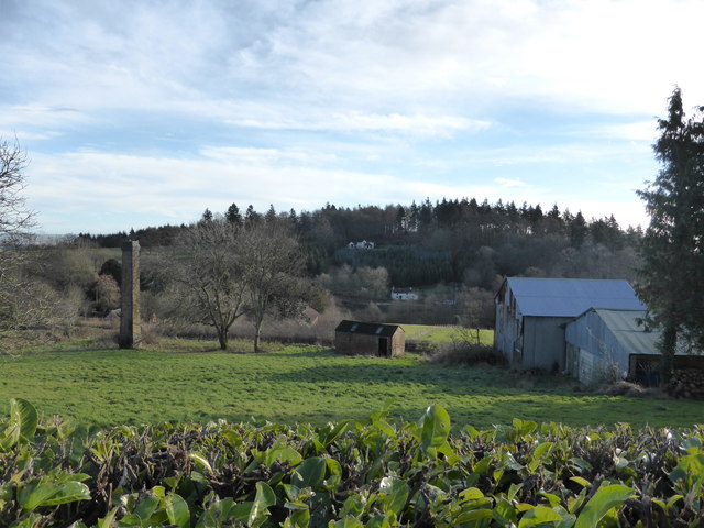
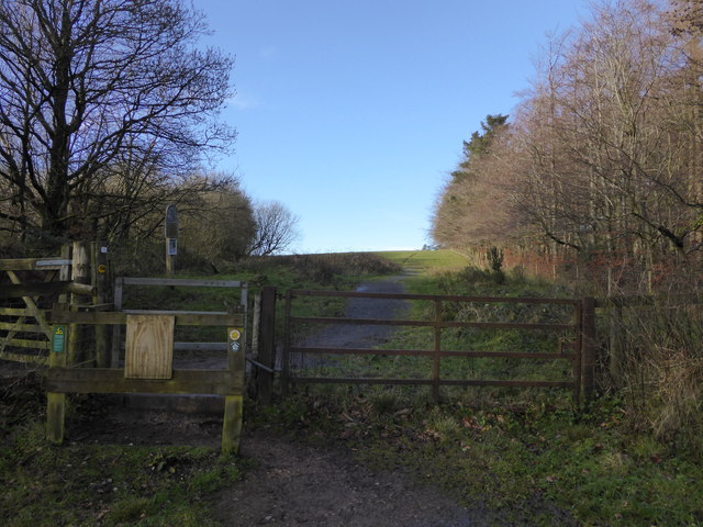
Parish Wood is a picturesque forest located in the county of Gloucestershire, England. Covering an area of approximately 300 acres, it is known for its diverse and abundant wildlife, making it a popular destination for nature enthusiasts and wildlife photographers.

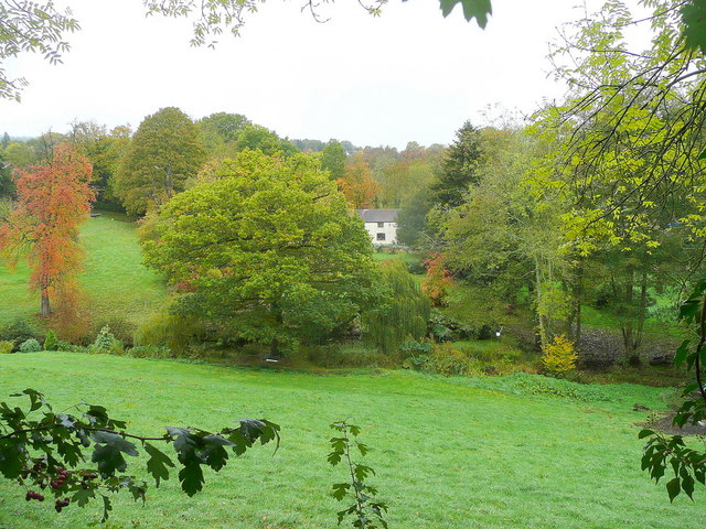
The woodland is primarily composed of native tree species, including oak, beech, and birch, which create a dense and vibrant canopy. This provides a rich habitat for a variety of bird species, such as woodpeckers, owls, and songbirds. Additionally, the forest is home to a range of mammals, including deer, foxes, and badgers.

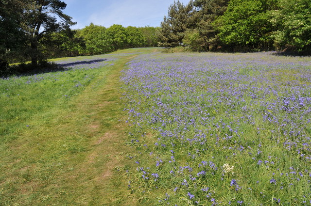
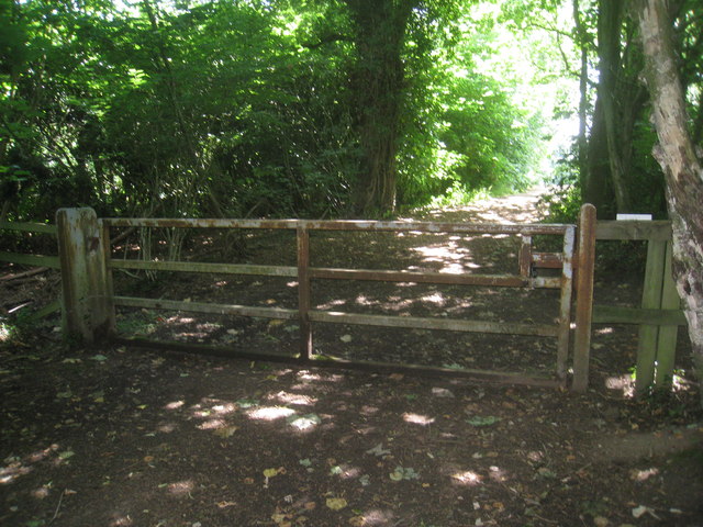
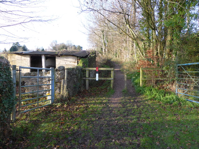
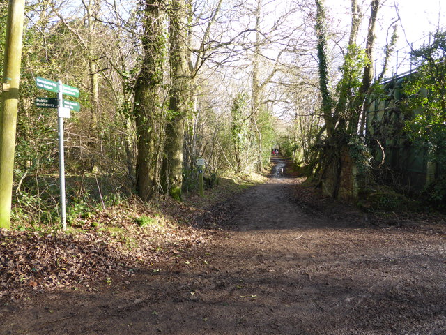
Tranquil pathways wind their way through the woods, inviting visitors to explore the natural beauty at their own pace. The forest floor is carpeted with a tapestry of wildflowers, including bluebells and primroses, which bloom in the spring, painting the forest in a kaleidoscope of colors.

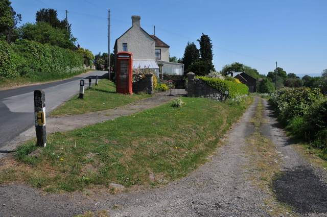
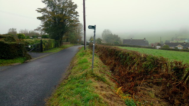
The wood is managed by the local council, which ensures its preservation and maintenance. There are designated picnic areas and benches scattered throughout, providing visitors with the opportunity to relax and enjoy the peaceful surroundings. Furthermore, the forest is equipped with well-marked trails, allowing hikers and cyclists to navigate easily.

Parish Wood not only offers a haven for flora and fauna, but it also provides a space for recreational activities. The forest hosts educational programs and guided walks, allowing visitors to learn about the ecosystem and the importance of conservation. It is a place where people can escape the hustle and bustle of everyday life and immerse themselves in the beauty of nature.

If you have any feedback on the listing, please let us know in the comments section below.
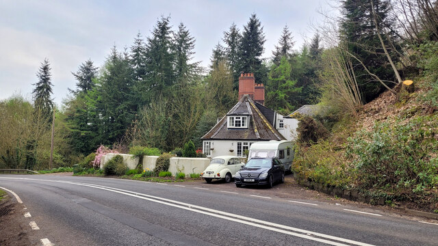
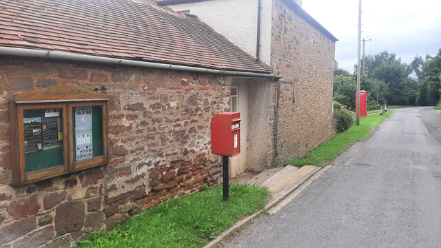
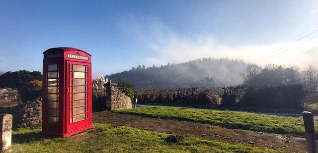
Parish Wood Images

Images are sourced within 2km of 51.875104/-2.4507307 or Grid Reference SO6919. Thanks to Geograph Open Source API. All images are credited.

The Resthouse A distinctive house by the A40 just west of Huntley.
The Resthouse
A distinctive house by the A40 just west of Huntley.
May Hill Village facilities Notice board, post box and phone box. The latter is now an information hub for the village.
May Hill Village facilities
Notice board, post box and phone box. The latter is now an information hub for the village.
Woodland gateway
Woodland gateway
Public Telephone Box with Fog Covered Bright's Hill Beyond
Dream cottage This place is a feature of my daily commute to Gloucester. View to the north of the A40 on a light spring evening.
Dream cottage
This place is a feature of my daily commute to Gloucester. View to the north of the A40 on a light spring evening.
Track in May Hill Village On the eastern slopes of May Hill there are a number of narrow lanes and track such as this one pictured here.  I returned to this same spot in September 2017 <a href="https://www.geograph.org.uk/photo/5526491">SO7020 : Decommissioned telephone box</a>.
Track in May Hill Village
On the eastern slopes of May Hill there are a number of narrow lanes and track such as this one pictured here. I returned to this same spot in September 2017 SO7020 : Decommissioned telephone box.
View across the Vale of Gloucester View across the Vale of Gloucester from the slopes of May Hill.  The Cotswold Hills are on the horizon.
View across the Vale of Gloucester
View across the Vale of Gloucester from the slopes of May Hill. The Cotswold Hills are on the horizon.
Bluebells on May Hill
May Hill Methodist Hall
Bright's Hill Bright's Hill is a wooded hill on the east side of May Hill.
Bright's Hill
Bright's Hill is a wooded hill on the east side of May Hill.
Dream cottage in autumn The same view (almost) as in <a href="https://www.geograph.org.uk/photo/2343022">SO7020 : Dream cottage</a> nearly seven months on.
Dream cottage in autumn
The same view (almost) as in SO7020 : Dream cottage nearly seven months on.
Dursley Cross The gridline crosses the scene just about where the bridleway sign stands.
Dursley Cross
The gridline crosses the scene just about where the bridleway sign stands.
May Hill Sign National Trust land for a great walk up path to explore May Hill.
May Hill Sign
National Trust land for a great walk up path to explore May Hill.
Gate across footpath on May Hill There is a dense network of paths on May Hill.
Gate across footpath on May Hill
There is a dense network of paths on May Hill.
Scene below May Hill village, Glos A fairly typical local scene of scattered cottages, old workings, rolling hills and woods.
Scene below May Hill village, Glos
A fairly typical local scene of scattered cottages, old workings, rolling hills and woods.
Path near May Hill village, Glos An old pig-sty maybe by the side of the path here.
Path near May Hill village, Glos
An old pig-sty maybe by the side of the path here.
Footpath junction on May Hill, Glos The Wysis Way and Gloucestershire Way meet and merge here I believe. Good walking around these parts.
Footpath junction on May Hill, Glos
The Wysis Way and Gloucestershire Way meet and merge here I believe. Good walking around these parts.
Access gate onto May Hill, Glos The National Trust land boundary and access point.
Access gate onto May Hill, Glos
The National Trust land boundary and access point.
Show me another place!

Parish Wood is located at Grid Ref: SO6919 (Lat: 51.875104, Lng: -2.4507307)

Administrative County: Gloucestershire

District: Forest of Dean

Police Authority: Gloucestershire

What 3 Words

///ponies.economics.flukes. Near Longhope, Gloucestershire

Related Wikis

Hobbs Quarry SSSI, Longhope

Hobbs Quarry, Longhope (grid reference SO695195) is a 1-hectare (2.5-acre) geological and biological Site of Special Scientific Interest in Gloucestershire...

Longhope railway station

Longhope railway station is a disused stone-built railway station that served the village of Longhope in Gloucestershire, England. Opened in 1855 with...

Longhope

Longhope is a village in west Gloucestershire, situated within the Forest of Dean, England, United Kingdom. Arthur Bullock, who was born in Longhope in...

Longhope Hill

Longhope Hill (grid reference SO693185) is a 0.2-hectare (0.49-acre) geological Site of Special Scientific Interest in Gloucestershire, notified in 1989...

May Hill

May Hill is a prominent English hill between Gloucester and Ross-on-Wye. Its summit, on the western edge of Gloucestershire and its northern slopes in...

The Mount, Nottswood Hill

The Mount, Nottswood Hill, is a grade II listed house near Blaisdon in Gloucestershire. The house is thought to have been rebuilt in the later nineteenth...

Luxley

Luxley is a village in the southwest Midlands of England, on the border between Gloucestershire and Herefordshire near May Hill. Luxley is 12 km (7.5 mi...

Boxbush

Boxbush is a village in Gloucestershire, England. == References ==

Nearby Amenities

Located within 500m of 51.875104,-2.4507307
Bus Stop
The Rock Farm
Naptan AtcoCode: 1600GLF093
Naptan Bearing: W
Naptan CommonName: The Rock Farm
Naptan Indicator: Opp
Naptan NaptanCode: gloamdgm
Naptan Street: A40
Naptan Verified: no
Source: naptan_import
Lat/Long: 51.8787091/-2.4516397
Bus Stop
The Rock Farm
Naptan AtcoCode: 1600GLF094
Naptan Bearing: E
Naptan BusStopType: CUS
Naptan CommonName: The Rock Farm
Naptan NaptanCode: gloamdgt
Naptan Street: A40
Naptan Verified: no
Source: naptan_import
Lat/Long: 51.8788268/-2.4514375
Ford: yes
Lat/Long: 51.8736172/-2.4570527
The data included in this document is from www.openstreetmap.org. The data is made available under ODbL.

Have you been to Parish Wood?

Leave your review of Parish Wood below (or comments, questions and feedback).