Down Wood
Wood, Forest in Dorset
England
Down Wood

Down Wood is a picturesque forest located in the county of Dorset, England. Covering an area of approximately 100 hectares, it is a haven for nature lovers and outdoor enthusiasts. The woodland is part of the larger Down Wood Nature Reserve, which encompasses a diverse range of habitats including ancient woodland, grassland, and wetlands.
As one explores Down Wood, they are greeted with a mesmerizing display of flora and fauna. The woodland is predominantly composed of deciduous trees such as oak, beech, and ash, which create a beautiful canopy overhead. Beneath the towering trees, a carpet of bluebells, wild garlic, and wood anemones grace the forest floor during the spring months, creating a breathtaking sight.
The forest is a haven for wildlife, offering a home to a variety of species. Visitors may be lucky enough to spot deer, foxes, and badgers roaming freely in their natural habitat. Birdwatchers will also be delighted by the diverse avian population, including woodpeckers, owls, and various species of songbirds.
For those seeking outdoor activities, Down Wood provides numerous trails and pathways for walking, cycling, and horse riding. The peaceful atmosphere of the forest makes it an ideal location for a leisurely stroll, allowing visitors to immerse themselves in the serene surroundings.
Managed by a local conservation organization, Down Wood is dedicated to preserving its natural beauty and promoting biodiversity. Regular conservation efforts such as tree planting and wildlife monitoring are carried out to ensure the long-term sustainability of the woodland.
In conclusion, Down Wood in Dorset offers a tranquil escape into nature, where visitors can experience the beauty of an ancient forest while enjoying the diverse wildlife and recreational activities it has to offer.
If you have any feedback on the listing, please let us know in the comments section below.
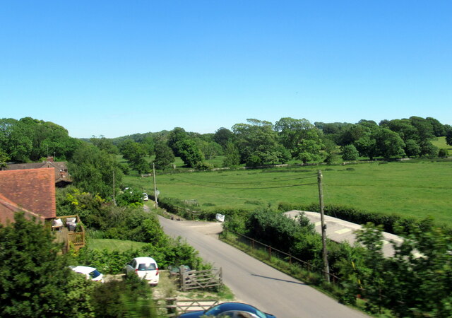
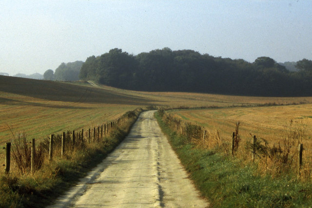
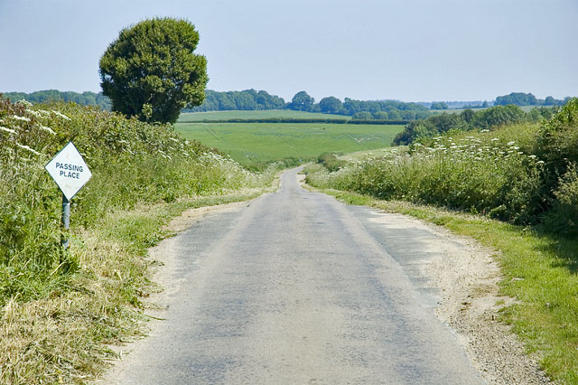
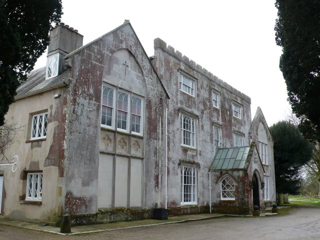
Down Wood Images
Images are sourced within 2km of 50.677664/-2.4391706 or Grid Reference SY6986. Thanks to Geograph Open Source API. All images are credited.


Down Wood is located at Grid Ref: SY6986 (Lat: 50.677664, Lng: -2.4391706)
Unitary Authority: Dorset
Police Authority: Dorset
What 3 Words
///pushover.astounded.soccer. Near Dorchester, Dorset
Nearby Locations
Related Wikis
Winterborne Herringston
Winterborne Herringston, also Winterbourne Herringston, is a small civil parish and hamlet containing about 600 acres in Dorset, England, 1.4 miles south...
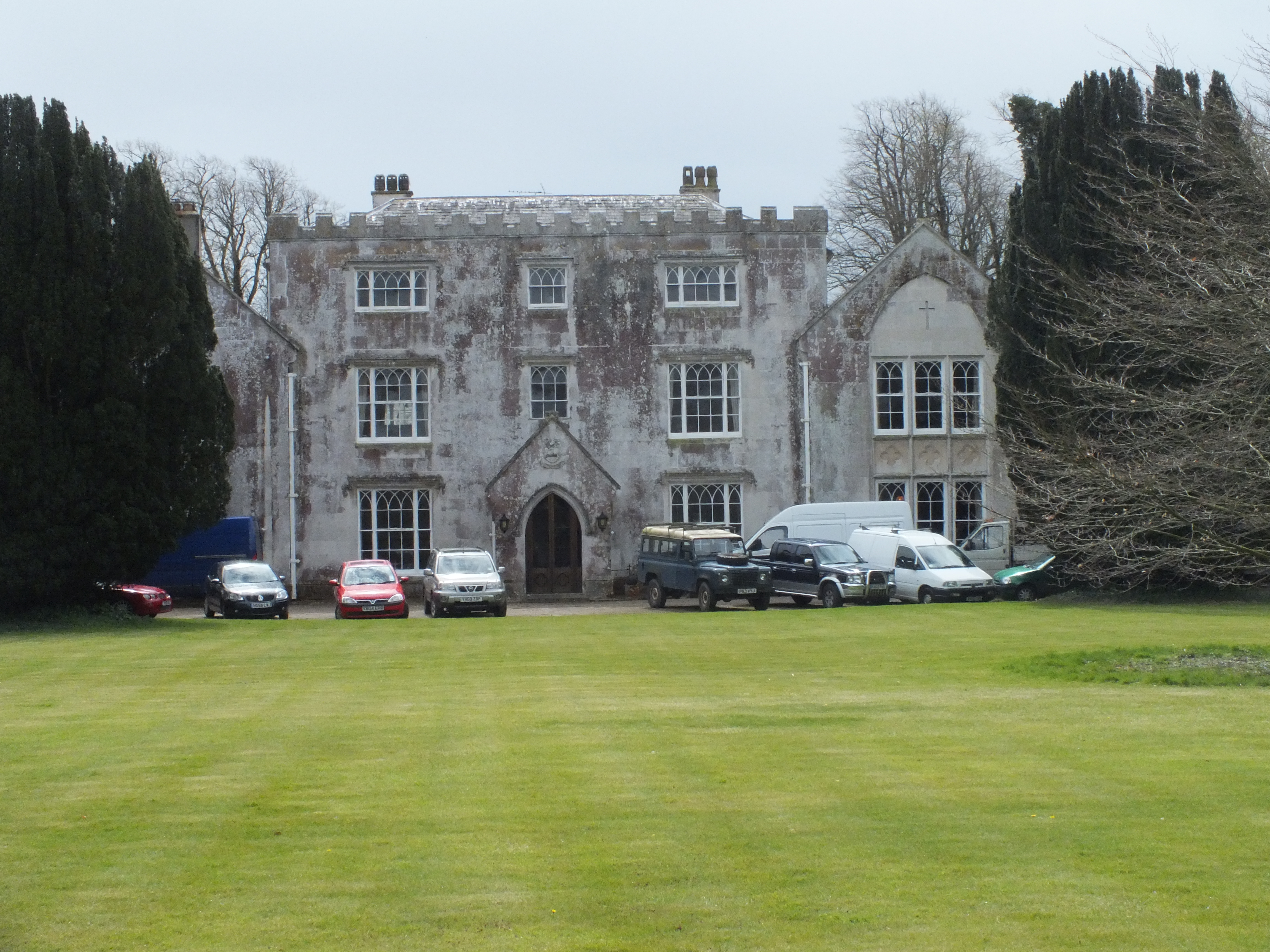
Herringston House
Herringston House is a Grade II* listed Tudor manor house in Winterborne Herringston in Dorset, England. == Architecture and history == There are remains...

Culliford Tree Hundred
Culliford Tree Hundred was a hundred in the county of Dorset, England, containing the following parishes: Broadwey Buckland Ripers Chickerell (part) Melcombe...

Winterborne Farringdon
Winterborne Farringdon (or Winterbourne Farringdon) is a deserted village in Dorset, England, 1.5 miles south of Dorchester. Its lands are now incorporated...
Nearby Amenities
Located within 500m of 50.677664,-2.4391706Have you been to Down Wood?
Leave your review of Down Wood below (or comments, questions and feedback).