Sharp Hill
Hill, Mountain in Somerset Mendip
England
Sharp Hill
Sharp Hill is located in Somerset, England, and is a prominent hill that forms part of the Mendip Hills range. Rising to an elevation of approximately 221 meters (725 feet), it offers stunning panoramic views of the surrounding countryside.
This hill is composed mainly of limestone, which gives it a unique character and contributes to the formation of several underground caves and caves systems in the area. In fact, it is believed that the hill itself is the result of erosion of the limestone by water over millions of years.
The area surrounding Sharp Hill is rich in biodiversity, with a variety of flora and fauna inhabiting its slopes. The hill is covered in grassland, interspersed with patches of woodland, creating a diverse habitat for many species of plants and animals. Rare plants such as the Somerset hair-grass and the Cheddar pink can be found here, adding to the ecological importance of the area.
Sharp Hill is a popular destination for outdoor enthusiasts and nature lovers. It offers several footpaths and trails that allow visitors to explore its beauty and take in the breathtaking views from the top. The hill is also a favorite spot for birdwatching, with various species of birds, including peregrine falcons and buzzards, frequently spotted soaring above.
In addition to its natural beauty, Sharp Hill holds historical significance. It is believed to have been an Iron Age hillfort, with remnants of ancient earthworks still visible today. These earthworks provide insight into the hill's past and add to its cultural value.
Overall, Sharp Hill in Somerset is a picturesque and significant natural landmark, offering a blend of natural beauty, ecological diversity, and historical interest to those who visit.
If you have any feedback on the listing, please let us know in the comments section below.
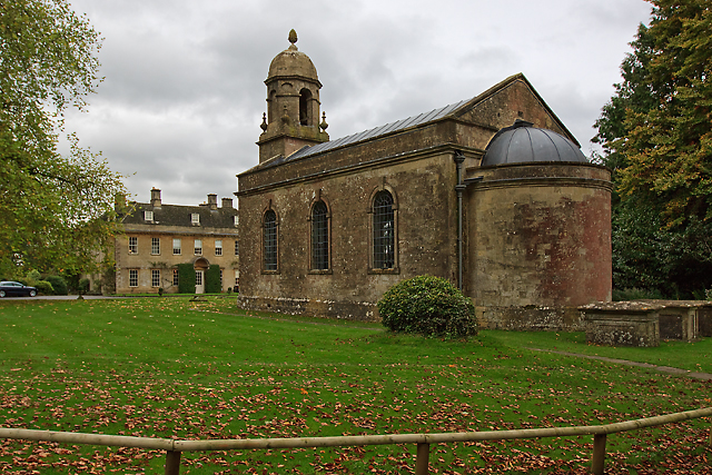
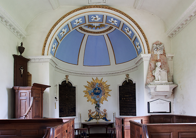
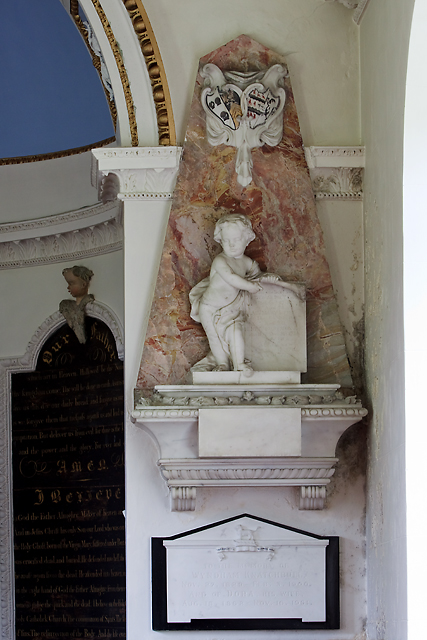
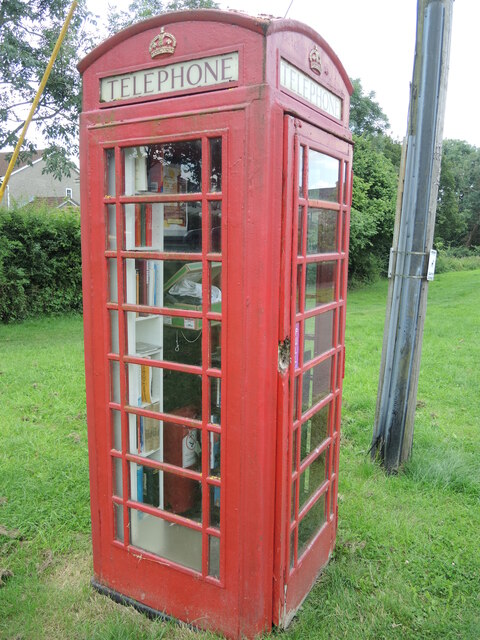
Sharp Hill Images
Images are sourced within 2km of 51.245868/-2.4405663 or Grid Reference ST6949. Thanks to Geograph Open Source API. All images are credited.


Sharp Hill is located at Grid Ref: ST6949 (Lat: 51.245868, Lng: -2.4405663)
Administrative County: Somerset
District: Mendip
Police Authority: Avon and Somerset
What 3 Words
///chiefs.described.puzzle. Near Radstock, Somerset
Nearby Locations
Related Wikis
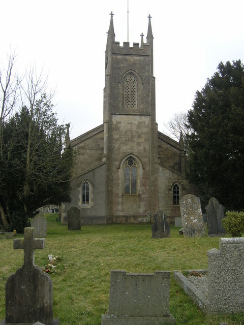
Coleford, Somerset
Coleford is a village and civil parish in Somerset, England, situated on the Mells River in the Mendip Hills five miles west of Frome. The parish has a...

Newbury Manor School
Newbury Manor School, formerly Farleigh College, is a mainly residential special school for pupils with Asperger syndrome, situated at Newbury, near Mells...

Babington House
Babington House is a Grade II* listed manor house, located in the village of Babington, between Radstock and Frome, in the county of Somerset, England...
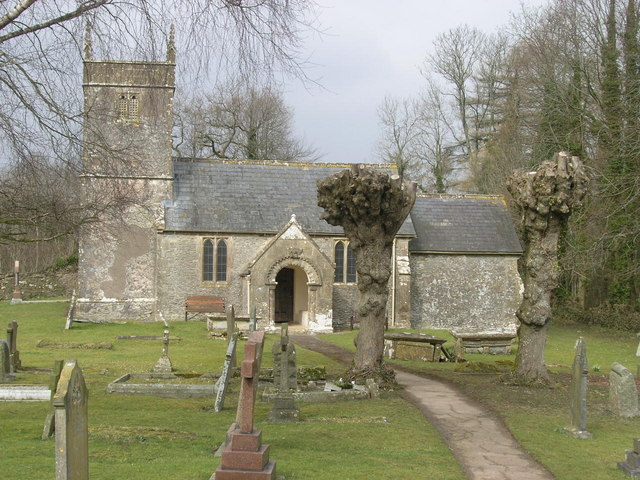
Holcombe, Somerset
Holcombe is a small village and civil parish (population 936) in the Mendip local government district of Somerset, England. The parish contains the hamlets...

Babington, Somerset
Babington is a small village between Radstock and Frome, Somerset, England, which has now largely disappeared. == History == In 1233 or 1234 much of the...

Leigh-on-Mendip
Leigh-on-Mendip or Leigh upon Mendip (on Ordnance Survey maps) is a small village on the Mendip Hills in Somerset, England. It lies roughly equidistant...
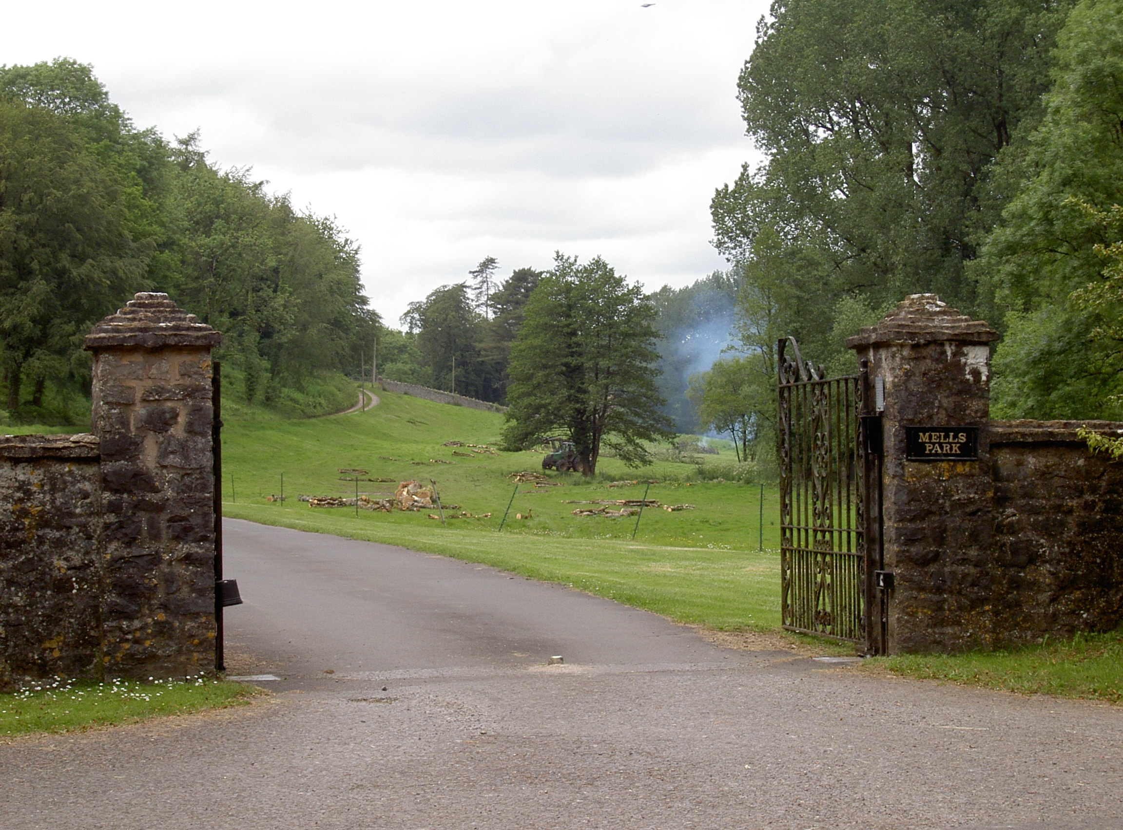
Mells Park
Mells Park is a country estate of 140 hectares (350 acres) near Mells, Somerset, England. It originated as a 17th-century deer park, probably created by...
Halecombe
Halecombe is a limestone quarry near Leigh-on-Mendip on the Mendip Hills, Somerset, England. The quarry exhibits pale to dark grey well-bedded Carboniferous...
Nearby Amenities
Located within 500m of 51.245868,-2.4405663Have you been to Sharp Hill?
Leave your review of Sharp Hill below (or comments, questions and feedback).