Hill of Ribrae

Hill, Mountain in Banffshire

Scotland

Hill of Ribrae

Old Milestone by the B9025, west of Turriff Milestone by the B9025, in parish of Forglen (Aberdeen District), opposite lane to Meikle Ribrae, near derelict wooden bus shelter.

Inscription reads:-
37
(To Aberdeen)

Surveyed

Milestone Society National ID: AD_TRAC37
Old Milestone by the B9025, west of Turriff Credit: Milestone Society

Hill of Ribrae is a prominent geographical feature located in Banffshire, Scotland. Standing at an elevation of approximately 260 meters (853 feet), it is considered a hill rather than a mountain. It is situated on the eastern edge of the Grampian Mountains, offering breathtaking views of the surrounding landscape.

The Hill of Ribrae is characterized by its rugged terrain and diverse flora and fauna. It is covered in heather, grasses, and scattered shrubs, giving it a picturesque appearance, especially during the summer months when the hill is blanketed in colorful wildflowers. The hill is also home to various bird species, including red grouse and skylarks, making it a popular spot for birdwatchers.

Hiking enthusiasts are drawn to the Hill of Ribrae due to its easily accessible trails and stunning vistas. The main trail leading to the summit is well-marked and suitable for all skill levels, making it a great option for families and beginners. Once at the top, visitors are rewarded with panoramic views of the surrounding countryside, including the nearby Moray Firth and the Grampian Mountains.

In addition to its natural beauty, the Hill of Ribrae also holds historical significance. It is believed to have been used as a lookout point during ancient times, and remnants of settlements and fortifications have been discovered in the area.

Overall, the Hill of Ribrae offers a captivating blend of natural beauty, recreational opportunities, and historical interest, making it a must-visit destination for nature lovers and outdoor enthusiasts in Banffshire.

If you have any feedback on the listing, please let us know in the comments section below.

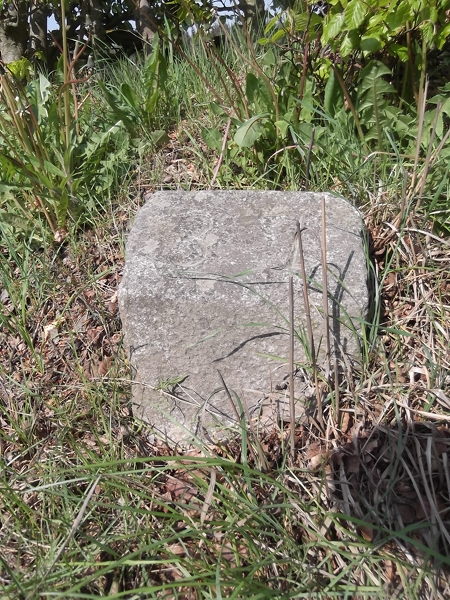
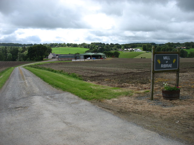
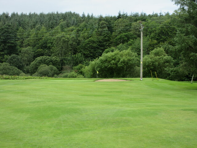
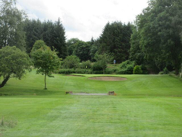
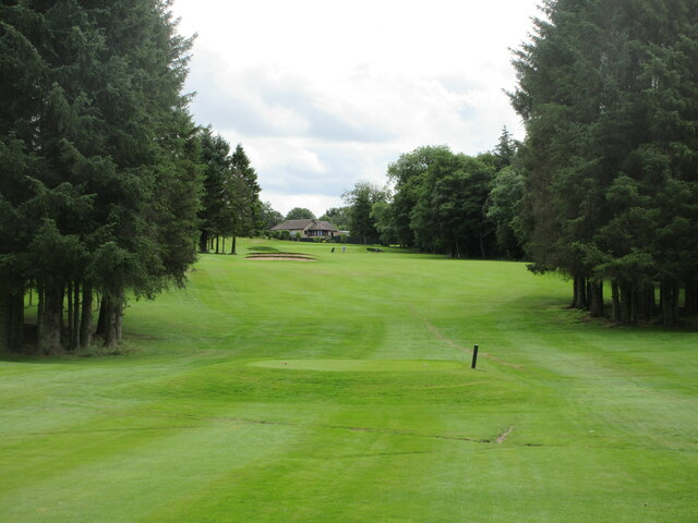
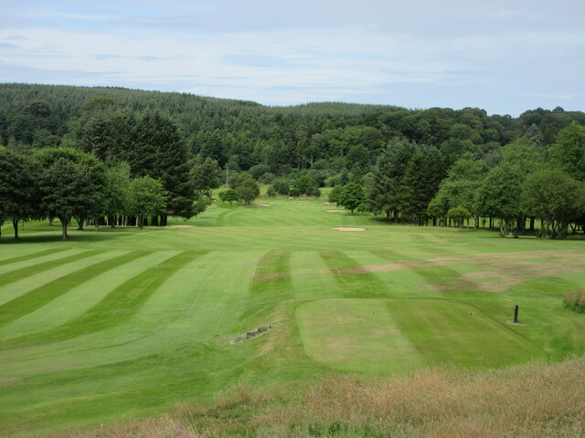
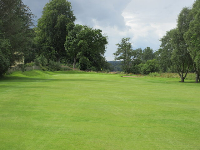
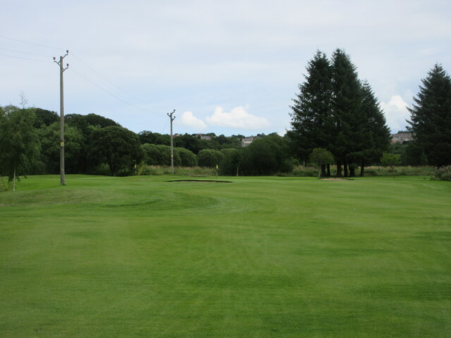
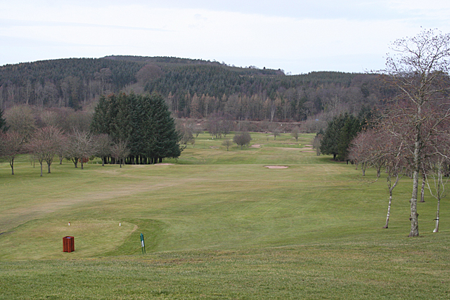
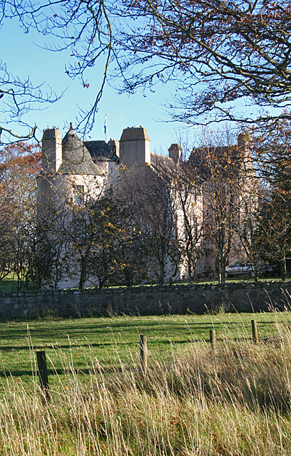
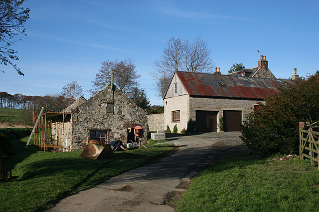
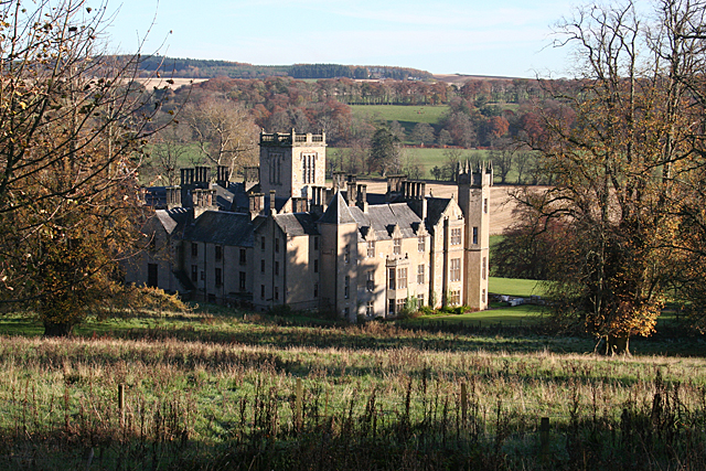
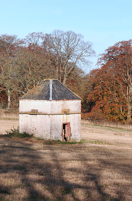
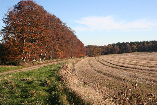
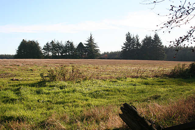
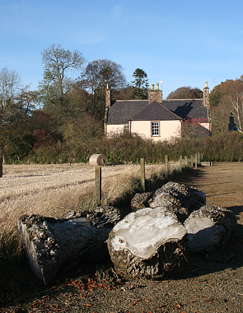
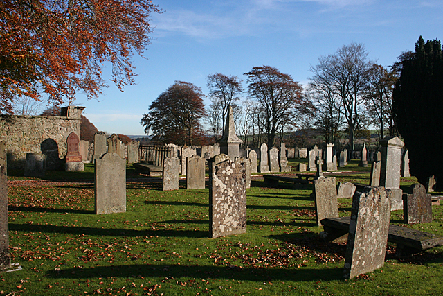
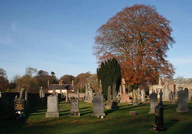
Hill of Ribrae Images

Images are sourced within 2km of 57.53916/-2.5174731 or Grid Reference NJ6950. Thanks to Geograph Open Source API. All images are credited.

Old Milestone by the B9025, west of Turriff Milestone by the B9025, in parish of Forglen (Aberdeen District), opposite lane to Meikle Ribrae, near derelict wooden bus shelter.

Inscription reads:-
37
(To Aberdeen)

Surveyed

Milestone Society National ID: AD_TRAC37
Old Milestone by the B9025, west of Turriff
Milestone by the B9025, in parish of Forglen (Aberdeen District), opposite lane to Meikle Ribrae, near derelict wooden bus shelter. Inscription reads:- 37 (To Aberdeen) Surveyed Milestone Society National ID: AD_TRAC37
Mill of Ribrae farm
Mill of Ribrae farm
Turriff Golf Club, 3rd Hole, Kirns The third hole at Turriff, looking to the green which is situated in front of the River Deveron.
Turriff Golf Club, 3rd Hole, Kirns
The third hole at Turriff, looking to the green which is situated in front of the River Deveron.
Turriff Golf Club, 4th Hole, Wee Devil The short fourth hole at Turriff, looking uphill from the tee to the green.
Turriff Golf Club, 4th Hole, Wee Devil
The short fourth hole at Turriff, looking uphill from the tee to the green.
Turriff Golf Club, 5th Hole, Rosehall The fifth hole at Turriff, looking up the hill from the tee.
Turriff Golf Club, 5th Hole, Rosehall
The fifth hole at Turriff, looking up the hill from the tee.
Turriff Golf Club, 6th Hole, Doonhill The long sixth hole at Turriff, looking down the hill from the tee.
Turriff Golf Club, 6th Hole, Doonhill
The long sixth hole at Turriff, looking down the hill from the tee.
Turriff Golf Club, 7th Hole, Muiresk The seventh hole at Turriff, looking to the green at the most westerly end of the course.
Turriff Golf Club, 7th Hole, Muiresk
The seventh hole at Turriff, looking to the green at the most westerly end of the course.
Turriff Golf Club, 8th Hole, Forglen The eighth hole at Turriff, looking to the green.
Turriff Golf Club, 8th Hole, Forglen
The eighth hole at Turriff, looking to the green.
Rosehall Golf Course The course is looking deserted on a cold February weekday. No doubt it will soon be busier.
Rosehall Golf Course
The course is looking deserted on a cold February weekday. No doubt it will soon be busier.
Carnousie Castle Nigel Tranter, describing Carnousie in 1970, lamented the fact that the building was abandoned and had deteriorated sadly, part of it being used as a piggery. Since then it has been fully restored as an inhabited house, though the screen of trees makes it difficult to appreciate its features. It was probably built by Walter Ogilvy of Carnousie, because he sold his newly constructed fortalice in 1583 to his brother Ogilvy of Dunlugas. It was subsequently sold to the Gordons of Park. It is a Z-plan, with a circular tower to the north-west of the main block and a square tower to the south-east.
Carnousie Castle
Nigel Tranter, describing Carnousie in 1970, lamented the fact that the building was abandoned and had deteriorated sadly, part of it being used as a piggery. Since then it has been fully restored as an inhabited house, though the screen of trees makes it difficult to appreciate its features. It was probably built by Walter Ogilvy of Carnousie, because he sold his newly constructed fortalice in 1583 to his brother Ogilvy of Dunlugas. It was subsequently sold to the Gordons of Park. It is a Z-plan, with a circular tower to the north-west of the main block and a square tower to the south-east.
Silverstripe An old building at Silverstripe is in process of renovation.
Silverstripe
An old building at Silverstripe is in process of renovation.
Forglen House This is the rear of the house, with the south-west elevation in the sun. The present Tudor style house was built in 1839-1842 to a design by James Smith of Aberdeen for the Abercromby family, replacing and possibly incorporating an earlier building. It is a Category A listed building.
Forglen House
This is the rear of the house, with the south-west elevation in the sun. The present Tudor style house was built in 1839-1842 to a design by James Smith of Aberdeen for the Abercromby family, replacing and possibly incorporating an earlier building. It is a Category A listed building.
Forglen Doocot The early 19th century brick doocot is a Category B listed building. Its square shape and pyramid roof are unusual. Note the layer of protruding slabs just below the access holes. This is a standard feature of doocots, and is intended to prevent rats getting into the building via the birds' entrance and exit holes.
Forglen Doocot
The early 19th century brick doocot is a Category B listed building. Its square shape and pyramid roof are unusual. Note the layer of protruding slabs just below the access holes. This is a standard feature of doocots, and is intended to prevent rats getting into the building via the birds' entrance and exit holes.
Autumn Colours The beeches by the estate road at Forglen are at their most colourful. Note the wide uncultivated strip along the edge of the stubble field. I presume this is for the benefit of wildlife.
Autumn Colours
The beeches by the estate road at Forglen are at their most colourful. Note the wide uncultivated strip along the edge of the stubble field. I presume this is for the benefit of wildlife.
Skirlnaked This is a classic case of not having the correct map handy. If I had been using the 1:25,000 map, I would have realised that the trees conceal the delightfullyand improbably named Skirlnaked Quarry, and I would have made a definite point of going over to photograph it. Never mind, I'm sure to be over that way again.
Skirlnaked
This is a classic case of not having the correct map handy. If I had been using the 1:25,000 map, I would have realised that the trees conceal the delightfullyand improbably named Skirlnaked Quarry, and I would have made a definite point of going over to photograph it. Never mind, I'm sure to be over that way again.
Kirklands of Forglen The 1:50,000 map shows an ancient church down a track off the B9025. Lured by this, I found myself in the car park beside Forglen Kirkyard, where there is this view towards what I am sure must originally have been the manse, now renamed Kirklands. I do not know what type of wood the logs are, but my brother, who knows about wood, says they are probably elm.
Kirklands of Forglen
The 1:50,000 map shows an ancient church down a track off the B9025. Lured by this, I found myself in the car park beside Forglen Kirkyard, where there is this view towards what I am sure must originally have been the manse, now renamed Kirklands. I do not know what type of wood the logs are, but my brother, who knows about wood, says they are probably elm.
Forglen Kirkyard The remains of the church shown on the 1:50,000 map are on the left - a plain square of bare walls being all that is left of it. The kirkyard, however, is peaceful and pleasant.
Forglen Kirkyard
The remains of the church shown on the 1:50,000 map are on the left - a plain square of bare walls being all that is left of it. The kirkyard, however, is peaceful and pleasant.
Forglen Cemetery The old kirkayrd has been extended towards the river bank, providing plenty of space for future burials.
Forglen Cemetery
The old kirkayrd has been extended towards the river bank, providing plenty of space for future burials.
Show me another place!

Hill of Ribrae is located at Grid Ref: NJ6950 (Lat: 57.53916, Lng: -2.5174731)

Unitary Authority: Aberdeenshire

Police Authority: North East

What 3 Words

///dignify.sampling.lame. Near Turriff, Aberdeenshire

Related Wikis

Whitehill Wood, Aberdeenshire

Whitehill Wood is a wood and megalithic stone circle in Aberdeenshire, Scotland, located off the B9025 road between Aberchirder and Turriff and between...

Bogton

Bogton is a rural area in Aberdeenshire, Scotland. To the south is Whitehill Wood and megalithic circle. == References ==
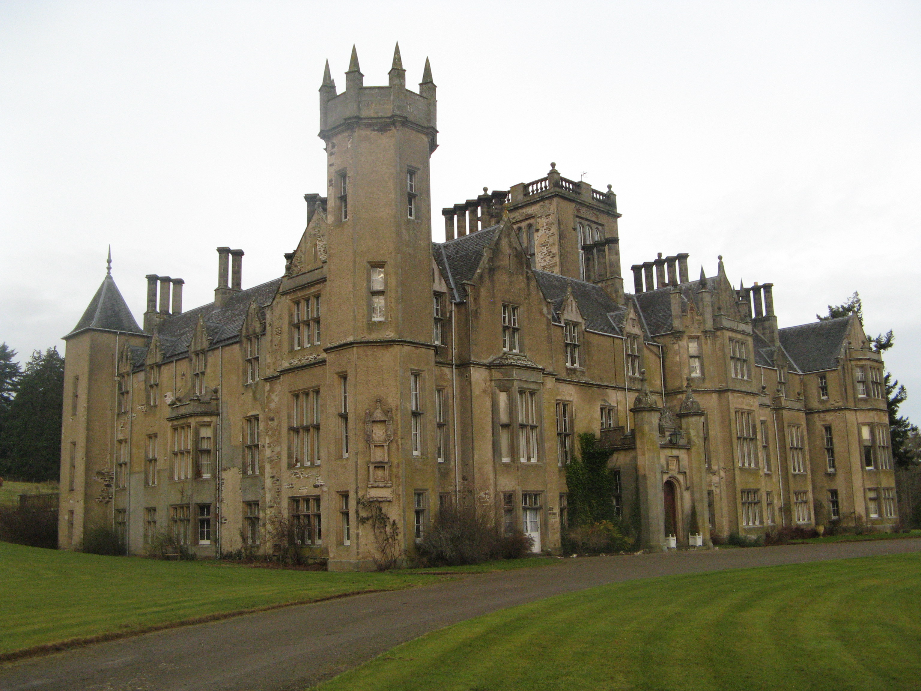
Forglen House

Forglen House is a mansion house that forms the centrepiece of the Forglen estate in the parish of Forglen, north-west of Turriff, Aberdeenshire, in the...

Dorlaithers Castle

Dorlaithers Castle was a castle about 2.5 miles (4.0 km) south-west of Turriff, Aberdeenshire, Scotland at Dorlaithers, south of the burn of Gask. It may...

Nearby Amenities

Located within 500m of 57.53916,-2.5174731
Power: pole
Lat/Long: 57.5433899/-2.5199568
Power: pole
Lat/Long: 57.5431754/-2.5184628
Power: pole
Lat/Long: 57.5426226/-2.5173658
Power: pole
Lat/Long: 57.5420396/-2.5161991
Power: pole
Lat/Long: 57.541769/-2.5156975
Power: pole
Lat/Long: 57.5415761/-2.5152817
Power: pole
Lat/Long: 57.5411299/-2.514402
Power: pole
Lat/Long: 57.5407268/-2.513608
Power: pole
Lat/Long: 57.5402647/-2.51268
Power: pole
Lat/Long: 57.5392397/-2.5106844
Power: pole
Lat/Long: 57.5386452/-2.5095284
Hill of Ribrae
Natural: peak
Lat/Long: 57.5393698/-2.5178241
Power: pole
Lat/Long: 57.5399532/-2.5178137
Power: pole
Lat/Long: 57.5406049/-2.5170666
Power: pole
Lat/Long: 57.5412101/-2.5163951
Power: pole
Lat/Long: 57.5423754/-2.5144225
The data included in this document is from www.openstreetmap.org. The data is made available under ODbL.

Have you been to Hill of Ribrae?

Leave your review of Hill of Ribrae below (or comments, questions and feedback).