Sheeppath Hill
Hill, Mountain in East Lothian
Scotland
Sheeppath Hill
Sheeppath Hill is a prominent hill located in East Lothian, Scotland. Rising to an elevation of approximately 238 meters (781 feet), it forms part of the Lammermuir Hills range. The hill is situated near the village of Garvald, about 30 kilometers (19 miles) southeast of Edinburgh.
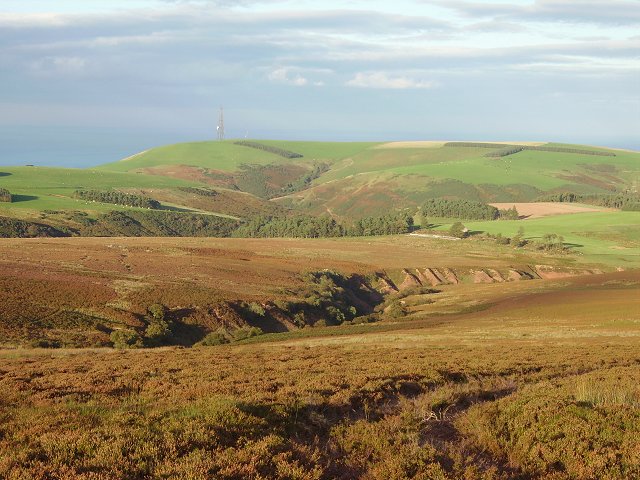
The name "Sheeppath Hill" reflects its historical function as a popular route for shepherds to guide their flocks across the surrounding countryside. The hill offers breathtaking views of the picturesque East Lothian landscape, with its rolling green hills and charming farmland.
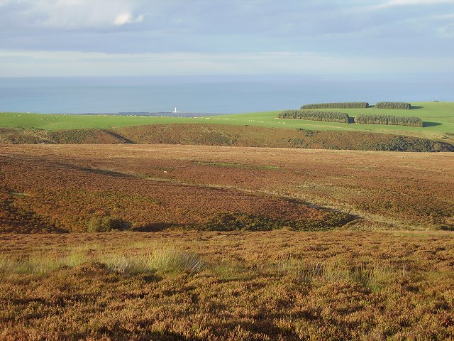
Sheeppath Hill is primarily covered in heather and grasses, which provide a natural habitat for a variety of wildlife species. The hill's diverse flora and fauna make it a popular destination for nature enthusiasts and hikers. The rugged terrain offers a challenging yet rewarding experience for those looking to explore the area.
At the summit of Sheeppath Hill, visitors are treated to stunning panoramic vistas of the surrounding countryside, including views of the Firth of Forth and the distant Lammermuir Hills. On clear days, it is even possible to catch a glimpse of the iconic Edinburgh Castle in the distance.
Due to its accessibility and natural beauty, Sheeppath Hill attracts both locals and tourists alike. Whether it's a leisurely stroll or a more adventurous hike, this hill offers a memorable experience for anyone seeking to immerse themselves in the tranquility and natural splendor of East Lothian.
If you have any feedback on the listing, please let us know in the comments section below.
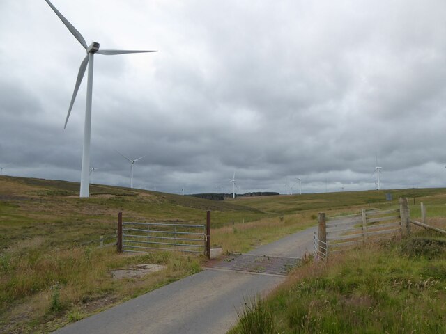
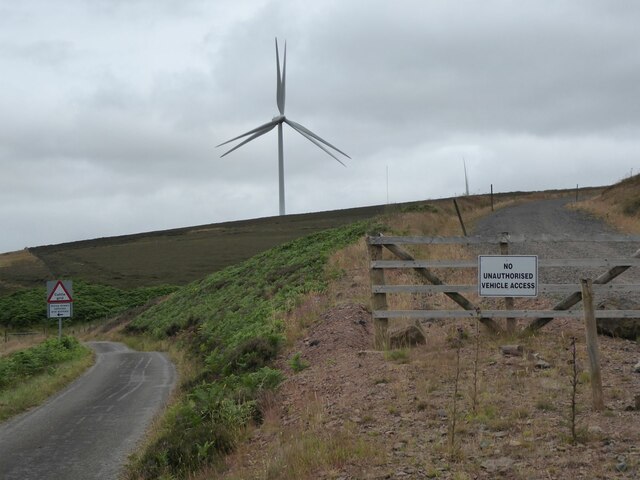
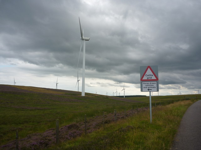
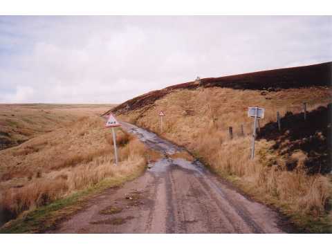
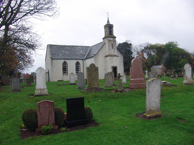
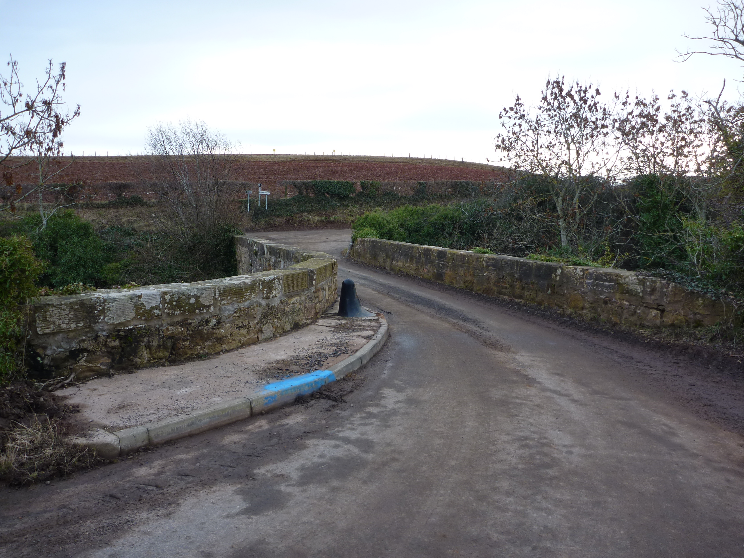
Sheeppath Hill Images
Images are sourced within 2km of 55.927546/-2.4957501 or Grid Reference NT6970. Thanks to Geograph Open Source API. All images are credited.


Sheeppath Hill is located at Grid Ref: NT6970 (Lat: 55.927546, Lng: -2.4957501)
Unitary Authority: East Lothian
Police Authority: The Lothians and Scottish Borders
What 3 Words
///mimics.toads.flip. Near Dunbar, East Lothian
Nearby Locations
Related Wikis

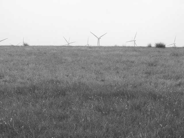
Crystal Rig Wind Farm
Crystal Rig Wind Farm is an operational onshore wind farm located on the Lammermuir Hills in the Scottish Borders region of Scotland. When phase 1 was...

Innerwick
Innerwick (Scottish Gaelic: Inbhir Mhuice) is a coastal civil parish and small village, which lies in the east of East Lothian, five miles (eight kilometres...

Blackcastle Hill, East Lothian
Blackcastle Hill is an Iron Age hill fort south of Innerwick, East Lothian, Scotland. It is near Cocklaw in the Lammermuir Hills at grid reference NT729724...
Oldhamstocks
Oldhamstocks or Aldhamstocks ("old dwelling place") is a civil parish and small village in the east of East Lothian, Scotland, adjacent to the Scottish...

Spott, East Lothian
Spott is a small village on the eastern fringes of East Lothian in Scotland, just over 2 miles (3.2 km) south-west of Dunbar. The village straddles an...
Thornton Castle
Thornton Castle was a Scottish fortress belonging to the Montgomery family and subsequently Lord Home near Innerwick in East Lothian. Thornton Castle...
Innerwick Castle
Innerwick Castle is a ruined castle in East Lothian, Scotland, near the village of Innerwick, 5 miles (8.0 km) from Dunbar, on the Thornton Burn, and overlooking...

Battle of Dunbar (1296)
The Battle of Dunbar was the only significant field action of the campaign of 1296 during the beginning of the First War of Scottish Independence. ��2...
Nearby Amenities
Located within 500m of 55.927546,-2.4957501Have you been to Sheeppath Hill?
Leave your review of Sheeppath Hill below (or comments, questions and feedback).