Berry Hill

Hill, Mountain in East Lothian

Scotland

Berry Hill

Cattle grid and wind turbines At West Steel in the Lammermuir Hills.
Cattle grid and wind turbines Credit: Russel Wills

Berry Hill is a prominent hill located in the East Lothian region of Scotland. Standing at an elevation of approximately 218 meters (715 feet), it offers breathtaking panoramic views of the surrounding countryside. Situated near the village of Gifford, Berry Hill is a well-known landmark in the area.

The hill is primarily composed of sedimentary rocks, including sandstone and shale, which have been shaped by natural erosion processes over millions of years. This geological diversity contributes to the unique landscape and aesthetic appeal of Berry Hill.

The summit of Berry Hill is accessible through various walking trails and footpaths, making it a popular destination for outdoor enthusiasts and nature lovers. The routes are well-maintained and provide a relatively easy ascent, suitable for individuals of all fitness levels. At the top, visitors are rewarded with stunning vistas of the East Lothian countryside, including rolling hills, farmland, and distant coastal views.

The hill is also home to a diverse range of flora and fauna, including heather, gorse, and a variety of bird species. Nature enthusiasts can often spot red grouse, pheasants, and even the occasional buzzard soaring above.

Overall, Berry Hill in East Lothian offers a tranquil and picturesque setting for outdoor activities, such as hiking, picnicking, or simply enjoying the natural beauty of the Scottish countryside. Whether exploring the trails or marveling at the scenic views, visitors are sure to be captivated by the charm and tranquility of this remarkable hill.

If you have any feedback on the listing, please let us know in the comments section below.
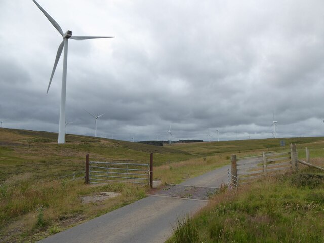
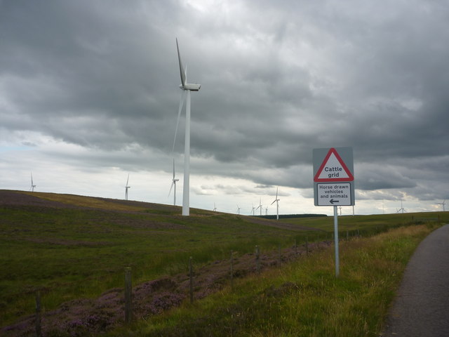
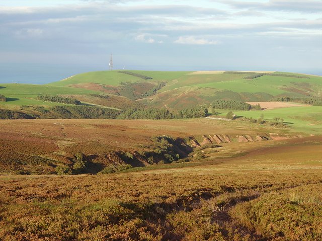
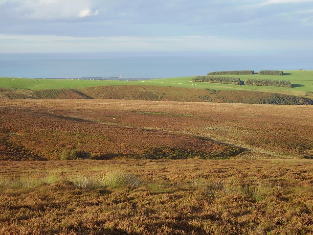
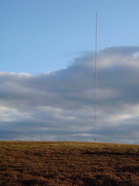
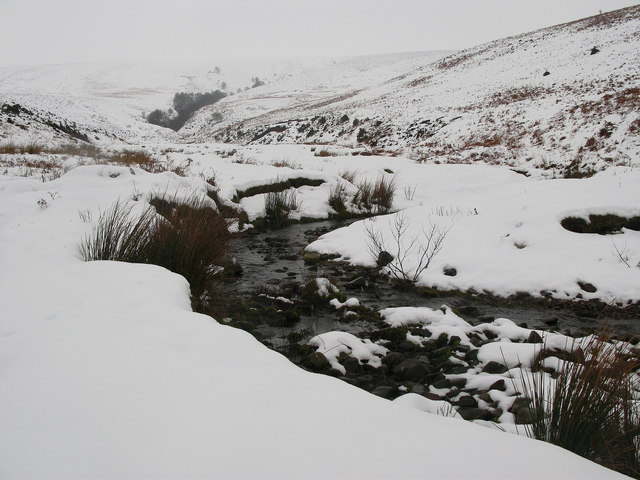
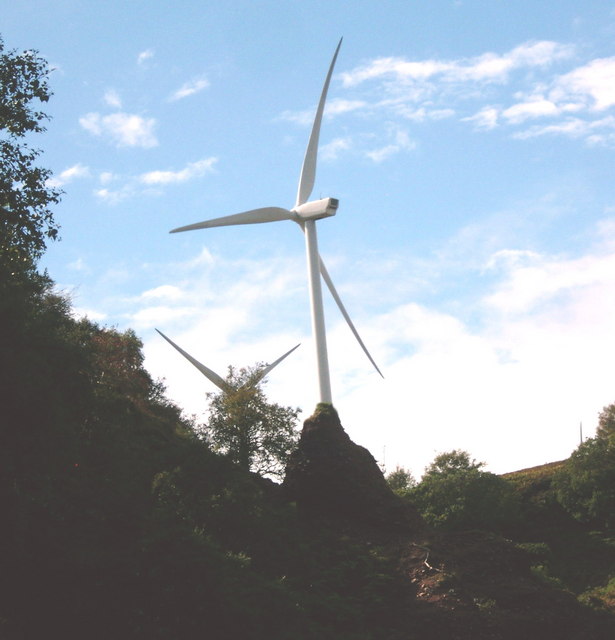
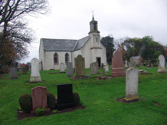
Berry Hill Images

Images are sourced within 2km of 55.929699/-2.4828139 or Grid Reference NT6970. Thanks to Geograph Open Source API. All images are credited.

Cattle grid and wind turbines At West Steel in the Lammermuir Hills.
Cattle grid and wind turbines
At West Steel in the Lammermuir Hills.
East Lothian Landscape : Crossing The Lammermuirs Near West Steel The formerly soothing and serene Lammermuir Hills have been abused and destroyed by all these bloody windfarms!
East Lothian Landscape : Crossing The Lammermuirs Near West Steel
The formerly soothing and serene Lammermuir Hills have been abused and destroyed by all these bloody windfarms!
Burn Hope Deep cut water course on the eastern side of the Lammermuir Hills. The area is managed as the East Lammermuir Deans nature reserve.
Burn Hope
Deep cut water course on the eastern side of the Lammermuir Hills. The area is managed as the East Lammermuir Deans nature reserve.
Monynut Edge Moors with a view of the Barns Ness lighthouse.
Monynut Edge
Moors with a view of the Barns Ness lighthouse.
Survey mast September 2006 - original comment.
Either providing data for the operators of Crystal Rig, or signs of expansion.
---
October 2008
Expansion in full swing. Construction of several turbines from the Aikengall Burn southwards. 
<a href="https://www.geograph.org.uk/photo/1024619">NT6869 : Turbine blades, Monynut Edge</a> 
<a href="https://www.geograph.org.uk/photo/1024624">NT6869 : Nacelle, Crystal Rig extension</a>
Survey mast
September 2006 - original comment. Either providing data for the operators of Crystal Rig, or signs of expansion. --- October 2008 Expansion in full swing. Construction of several turbines from the Aikengall Burn southwards. NT6869 : Turbine blades, Monynut Edge NT6869 : Nacelle, Crystal Rig extension
Wide Hope, near to Oldhamstocks Tributary of Oldhamstocks Burn runs through the valley of Wide Hope, on the eastern side of the Lammermuir Hills.
Wide Hope, near to Oldhamstocks
Tributary of Oldhamstocks Burn runs through the valley of Wide Hope, on the eastern side of the Lammermuir Hills.
Lammermuir Hills, near Oldhamstocks View from the top of the hill between the two valleys of Yearn Hope and Wide Hope. Although Wide Hope can not be seen from this view, the more westerly narrow valley of Ling Hope can be seen.
Lammermuir Hills, near Oldhamstocks
View from the top of the hill between the two valleys of Yearn Hope and Wide Hope. Although Wide Hope can not be seen from this view, the more westerly narrow valley of Ling Hope can be seen.
Oldhamstocks Burn The burn running down the Lammermuir valley of Wide Hope joins Oldhamstocks Burn at this point. The view is towards Aikengall.
Oldhamstocks Burn
The burn running down the Lammermuir valley of Wide Hope joins Oldhamstocks Burn at this point. The view is towards Aikengall.
Wide Hope, near Oldhamstocks Burn running through the Lammermuir valley of Wide Hope, eventually joining with Oldhamstocks Burn <a href="https://www.geograph.org.uk/photo/335121">NT7169 : Oldhamstocks Burn</a>.
Wide Hope, near Oldhamstocks
Burn running through the Lammermuir valley of Wide Hope, eventually joining with Oldhamstocks Burn NT7169 : Oldhamstocks Burn.
Turbine blades, Monynut Edge Awaiting assembly in the extension to Crystal Rig power station.
Turbine blades, Monynut Edge
Awaiting assembly in the extension to Crystal Rig power station.
Nacelle, Crystal Rig extension Wind turbine awaiting assembly on Monynut Edge. The hub and blade tips can also be seen, the blades still with a protective coating from the road journey. In recent weeks I have seen several nacelles being transported on the eastbound A1, but have missed the blades.
Nacelle, Crystal Rig extension
Wind turbine awaiting assembly on Monynut Edge. The hub and blade tips can also be seen, the blades still with a protective coating from the road journey. In recent weeks I have seen several nacelles being transported on the eastbound A1, but have missed the blades.
Wind Turbine  under construction Construction on Monynut Edge of the extension to the Crystal Rig power station.
The hill in 2006: <a href="https://www.geograph.org.uk/photo/250506">NT6869 : Survey mast</a>
Wind Turbine under construction
Construction on Monynut Edge of the extension to the Crystal Rig power station. The hill in 2006: NT6869 : Survey mast
Crystal Rig extension, Monynut Edge New wind turbines on the East Lothian side of the Monynut Water.
Crystal Rig extension, Monynut Edge
New wind turbines on the East Lothian side of the Monynut Water.
A broken road in the East Lothian hills Below Bransly Hill near West Steel.
A broken road in the East Lothian hills
Below Bransly Hill near West Steel.
Wind turbines near West Steel in East Lothian
Wind pressure on the Lammermuirs Lowest wind generator of the Moneynut array above the conglomerate pinnacles of Burnhope.  Increased run-off from the moor above due to access roads and drainage ditches will probably accelerate the demise of these pinnacles carved in the soft conglomerate.  Curious that SSSI status for these Lammermuir deans, and their geology and flora, did not disturb the imperative to install a wind farm overlapping the SSSI area.  On the day the photo was taken, the farmer downstream was busy trying to restore the river to its earlier route due to massive gravel outwash from the previous week's flash storms.  He said that it was the worst gravel shift he had ever experienced there.

The bending of the rotor blades shows that it was a very windy day and the machines were probably operating at their maximum output.  When they are not generating due to very high wind, the blades are feathered to reduce structural loading.  These look stationary simply because of high shutter speed.

The design output of this Moneynut wind farm array is about 19MW at a load factor of about 30%.  By comparison, the design output of the adjacent Torness nuclear plant is about 1200 MW with a load factor of above 80%.
Wind pressure on the Lammermuirs
Lowest wind generator of the Moneynut array above the conglomerate pinnacles of Burnhope. Increased run-off from the moor above due to access roads and drainage ditches will probably accelerate the demise of these pinnacles carved in the soft conglomerate. Curious that SSSI status for these Lammermuir deans, and their geology and flora, did not disturb the imperative to install a wind farm overlapping the SSSI area. On the day the photo was taken, the farmer downstream was busy trying to restore the river to its earlier route due to massive gravel outwash from the previous week's flash storms. He said that it was the worst gravel shift he had ever experienced there. The bending of the rotor blades shows that it was a very windy day and the machines were probably operating at their maximum output. When they are not generating due to very high wind, the blades are feathered to reduce structural loading. These look stationary simply because of high shutter speed. The design output of this Moneynut wind farm array is about 19MW at a load factor of about 30%. By comparison, the design output of the adjacent Torness nuclear plant is about 1200 MW with a load factor of above 80%.
The Burn Hope pinnacles Carved in the soft boulder conglomerate by the spaty burn.
The Burn Hope pinnacles
Carved in the soft boulder conglomerate by the spaty burn.
Conglomerate buttress in the Hope Burn
Show me another place!

Berry Hill is located at Grid Ref: NT6970 (Lat: 55.929699, Lng: -2.4828139)

Unitary Authority: East Lothian

Police Authority: The Lothians and Scottish Borders

What 3 Words

///diets.airless.blotches. Near Dunbar, East Lothian

Related Wikis

Crystal Rig Wind Farm

Crystal Rig Wind Farm is an operational onshore wind farm located on the Lammermuir Hills in the Scottish Borders region of Scotland. When phase 1 was...

Blackcastle Hill, East Lothian

Blackcastle Hill is an Iron Age hill fort south of Innerwick, East Lothian, Scotland. It is near Cocklaw in the Lammermuir Hills at grid reference NT729724...

Innerwick

Innerwick (Scottish Gaelic: Inbhir Mhuice) is a coastal civil parish and small village, which lies in the east of East Lothian, five miles (eight kilometres...

Oldhamstocks

Oldhamstocks or Aldhamstocks ("old dwelling place") is a civil parish and small village in the east of East Lothian, Scotland, adjacent to the Scottish...

Nearby Amenities

Located within 500m of 55.929699,-2.4828139
Needle Hill
Natural: peak
Lat/Long: 55.9319019/-2.4759663
The data included in this document is from www.openstreetmap.org. The data is made available under ODbL.

Have you been to Berry Hill?

Leave your review of Berry Hill below (or comments, questions and feedback).