Bale Hill

Hill, Mountain in Westmorland Eden

England

Bale Hill

The Pennine Way near Bow Hall
The Pennine Way near Bow Hall Credit: Dave Kelly

Bale Hill, located in the county of Westmorland in northwest England, is a prominent hill and mountain that forms part of the Howgill Fells range. Standing at an elevation of 2,058 feet (627 meters), it offers breathtaking panoramic views of the surrounding countryside.

Situated in the Yorkshire Dales National Park, Bale Hill is known for its rugged and steep terrain, making it a popular destination for hikers and adventure enthusiasts. The hill is characterized by its distinctive rounded shape and rocky outcrops, which add to its scenic appeal.

Bale Hill is easily accessible from the nearby town of Sedbergh, with various footpaths and trails leading to its summit. The ascent can be challenging, especially in adverse weather conditions, but the rewarding view from the top makes it all worthwhile. On a clear day, visitors can enjoy sweeping vistas of the Howgill Fells, the Pennines, and even the Lake District mountains in the distance.

The hill is also home to a diverse range of flora and fauna, including rare species of birds, wildflowers, and mosses. It provides a habitat for various wildlife, such as red deer, mountain hares, and even the occasional golden eagle.

Bale Hill offers a peaceful and tranquil escape, allowing visitors to immerse themselves in the natural beauty of Westmorland. Whether you are an avid hiker or simply seeking a serene spot to appreciate the wonders of nature, this hill is a must-visit destination.

If you have any feedback on the listing, please let us know in the comments section below.
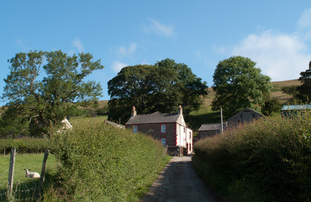
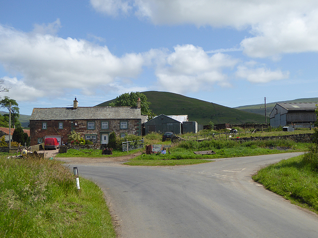
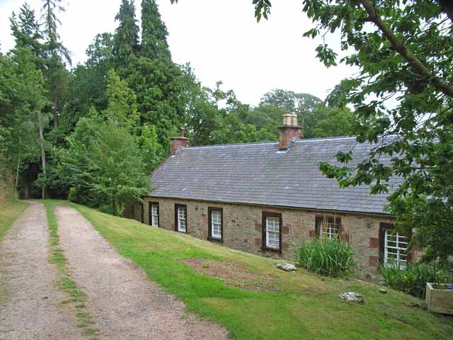
Bale Hill Images

Images are sourced within 2km of 54.617511/-2.4671442 or Grid Reference NY6924. Thanks to Geograph Open Source API. All images are credited.

The Pennine Way near Bow Hall
Ordnance Survey Cut Mark This OS cut mark can be found on the gatepost north side of the track. It marks a point 953.5ft above mean sea level.
Ordnance Survey Cut Mark
This OS cut mark can be found on the gatepost north side of the track. It marks a point 953.5ft above mean sea level.
Ordnance Survey Pivot This OS pivot can be found on the large boulder. It marks a point 1080.7ft above mean sea level.
Ordnance Survey Pivot
This OS pivot can be found on the large boulder. It marks a point 1080.7ft above mean sea level.
Ordnance Survey Pivot This OS pivot can be found on a boulder east of the track. It marks a point 1044.0ft above mean sea level.
Ordnance Survey Pivot
This OS pivot can be found on a boulder east of the track. It marks a point 1044.0ft above mean sea level.
Ordnance Survey Pivot This OS pivot can be found on the boulder next to the wall. It marks a point 1451.4ft above mean sea level.
Ordnance Survey Pivot
This OS pivot can be found on the boulder next to the wall. It marks a point 1451.4ft above mean sea level.
Ordnance Survey Cut Mark This OS cut mark can be found on the gatepost at the track/wall junction. It marks a point 1465.5ft above mean sea level.
Ordnance Survey Cut Mark
This OS cut mark can be found on the gatepost at the track/wall junction. It marks a point 1465.5ft above mean sea level.
Ordnance Survey Cut Mark This OS cut mark can be found on the gatepost at the track junction. It marks a point 1028.0ft above mean sea level.
Ordnance Survey Cut Mark
This OS cut mark can be found on the gatepost at the track junction. It marks a point 1028.0ft above mean sea level.
Ordnance Survey Cut Mark This OS cut mark can be found on the gatepost south side of the track. It marks a point 293m above mean sea level.
Ordnance Survey Cut Mark
This OS cut mark can be found on the gatepost south side of the track. It marks a point 293m above mean sea level.
Ordnance Survey Cut Mark This OS cut mark can be found on the gatepost south side of the track. It marks a point 853.5ft above mean sea level.
Ordnance Survey Cut Mark
This OS cut mark can be found on the gatepost south side of the track. It marks a point 853.5ft above mean sea level.
Milestone - Birkdale 6 Stone with the inscription 'Birkdale 6m'
Milestone - Birkdale 6
Stone with the inscription 'Birkdale 6m'
Ordnance Survey Cut Mark This OS cut mark can be found on the gatepost south side of the road. It marks a point 244.377m above mean sea level.
Ordnance Survey Cut Mark
This OS cut mark can be found on the gatepost south side of the road. It marks a point 244.377m above mean sea level.
Sheepfold below Dufton Pike At the east side of Dufton Pike beside a farm road two dry stone walls come together, meeting at an acute angle; by the addition of a little more walling this narrow sheepfold has been created.
Sheepfold below Dufton Pike
At the east side of Dufton Pike beside a farm road two dry stone walls come together, meeting at an acute angle; by the addition of a little more walling this narrow sheepfold has been created.
Fields south of minor road near Greenhow A narrow minor road connects the villages of Dufton and Murton at the foot of the western side of the northern Pennines. The view here is over fields south of that road, east of the farm at Greenhow.
Fields south of minor road near Greenhow
A narrow minor road connects the villages of Dufton and Murton at the foot of the western side of the northern Pennines. The view here is over fields south of that road, east of the farm at Greenhow.
Hay field south-west of Town Head A narrow minor road connects the two villages, Dufton and Murton; the view here is from that road near to the farm at Town Head showing a field with three phases of hay making on show: unmown grass to the right, mown grass to the left and at the centre, an area of grass where the hay has been lifted.
Note: it's also possible that the product of this field will be 'haylage', similar to hay but with a higher moisture content; the name being a portmanteau word of hay and silage.
Hay field south-west of Town Head
A narrow minor road connects the two villages, Dufton and Murton; the view here is from that road near to the farm at Town Head showing a field with three phases of hay making on show: unmown grass to the right, mown grass to the left and at the centre, an area of grass where the hay has been lifted. Note: it's also possible that the product of this field will be 'haylage', similar to hay but with a higher moisture content; the name being a portmanteau word of hay and silage.
Keisley Keisley is a farm lying north of a minor road connecting the villages of Dufton and Murton.
Keisley
Keisley is a farm lying north of a minor road connecting the villages of Dufton and Murton.
Harthwaite Sike
Harthwaite Sike
Field barn
Field barn
The valley of Little Rundale Beck
Show me another place!

Bale Hill is located at Grid Ref: NY6924 (Lat: 54.617511, Lng: -2.4671442)

Administrative County: Cumbria

District: Eden

Police Authority: Cumbria

What 3 Words

///bridges.processor.chatting. Near Appleby-in-Westmorland, Cumbria

Nearby Locations

Bale Hill Town Head Dufton

Related Wikis

Dufton

Dufton is a village and civil parish in Cumbria, England. Historically part of Westmorland, it lies in the Eden Valley and below Great Dun Fell. It is...

Keisley

Keisley is a small hamlet in the English county of Cumbria. It is located in the Dufton civil parish and the Eden district. == Location and geography... ==

Dufton Pike

Dufton Pike is a hill in the northern Pennines, in Cumbria, England. It is classed as a Marilyn (a hill with topographic prominence of at least 150m)....

St Cuthbert's Church, Dufton

St Cuthbert's Church is situated 3⁄4 mile (1.2 km) north of the village of Dufton, Cumbria, England. It should not be confused with the nearby St Cuthbert...

Brampton, Eden

Brampton is a village in the Eden district, in the county of Cumbria, England. Before 1974 it was in the county of Westmorland; the nearest town is Appleby...

Knock, Cumbria

Knock is a small village in the Eden district of Cumbria, England, and 1.9 km northwest of the larger village of Dufton and 3.1 km south of the village...

Flakebridge

Flakebridge is a woodland and small hamlet in the Eden District, Cumbria, England, 3 kilometres (1.9 mi) south-west from the village of Dufton and 1.95...

Long Marton

Long Marton is a village and civil parish in the Eden District of the English county of Cumbria. In 2011 the population was 827. The village previously...

Nearby Amenities

Located within 500m of 54.617511,-2.4671442
Grit Bin
Lat/Long: 54.6193497/-2.4623081
Bale Hill
Ele: 226
Natural: peak
Lat/Long: 54.6174928/-2.4665996
Power: pole
Lat/Long: 54.6163111/-2.4706873
Power: pole
Lat/Long: 54.6171684/-2.4704862
Power: pole
Lat/Long: 54.6181282/-2.4702555
Power: pole
Lat/Long: 54.6192526/-2.4690901
Power: pole
Lat/Long: 54.6190996/-2.4700288
Power: pole
Lat/Long: 54.6195026/-2.4674821
Power: pole
Lat/Long: 54.6198226/-2.4654342
Power: pole
Lat/Long: 54.6196222/-2.4638008
Power: pole
Lat/Long: 54.6184601/-2.4745966
Power: pole
Lat/Long: 54.6181426/-2.4731307
Power: pole
Lat/Long: 54.6188952/-2.4713353
Power: pole
Lat/Long: 54.6185761/-2.4733548
Power: pole
Lat/Long: 54.6146656/-2.4722317
Power: pole
Lat/Long: 54.6153366/-2.4709082
Power: pole
Lat/Long: 54.6150229/-2.4697429
Power: pole
Lat/Long: 54.6147191/-2.468625
Power: pole
Lat/Long: 54.6142656/-2.4676864
Power: pole
Lat/Long: 54.6138046/-2.4667083
Power: pole
Lat/Long: 54.6137069/-2.4652925
Power: pole
Lat/Long: 54.6163656/-2.4700579
Power: pole
Lat/Long: 54.616445/-2.4693092
The data included in this document is from www.openstreetmap.org. The data is made available under ODbL.

Have you been to Bale Hill?

Leave your review of Bale Hill below (or comments, questions and feedback).