Hill of Kirktown
Hill, Mountain in Banffshire
Scotland
Hill of Kirktown
The Hill of Kirktown is a prominent geographical feature located in Banffshire, Scotland. Rising to an altitude of approximately 285 meters (935 feet), it is considered a hill rather than a mountain. It is situated near the village of Kirktown, which lies about 5 kilometers (3 miles) northeast of the town of Banff.
The Hill of Kirktown is characterized by its distinctive conical shape, which makes it easily recognizable in the surrounding landscape. It is composed of various types of sedimentary rocks, including sandstone and shale, which have been shaped and sculpted by natural forces over millions of years.
The hill is covered with an abundance of vegetation, primarily consisting of grasses, heather, and scattered shrubs. This creates a lush and picturesque landscape, especially during the spring and summer months when the flora is in full bloom. The hill's slopes provide a habitat for a diverse range of wildlife, including various bird species, small mammals, and insects.
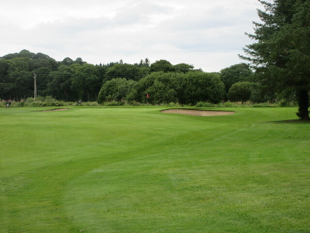
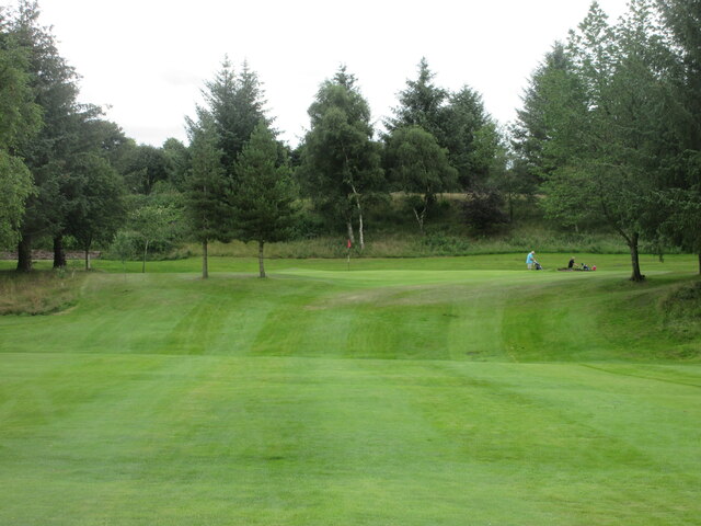
Due to its relatively moderate elevation, the Hill of Kirktown offers breathtaking panoramic views of the surrounding countryside and the North Sea coast. It is a popular destination for hikers, nature enthusiasts, and photographers, who are drawn to its natural beauty and tranquility.
Overall, the Hill of Kirktown serves as a notable landmark in Banffshire, adding to the region's scenic appeal and offering visitors and locals alike a place to appreciate the stunning Scottish countryside.
If you have any feedback on the listing, please let us know in the comments section below.
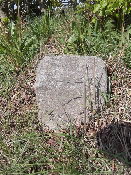
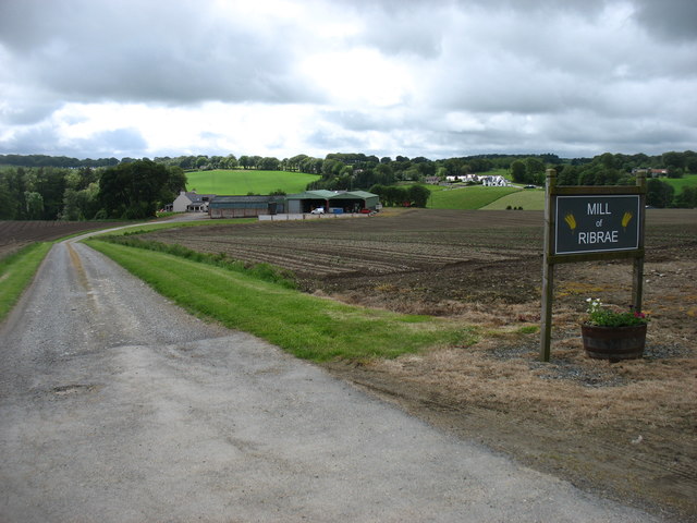
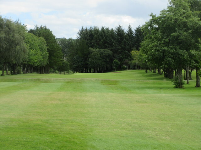
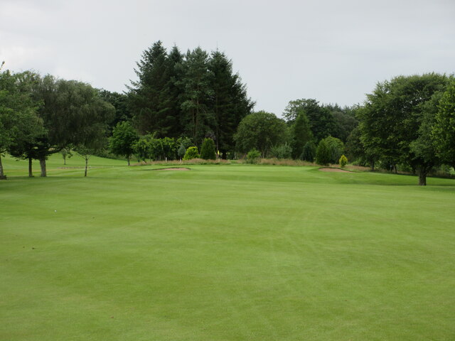
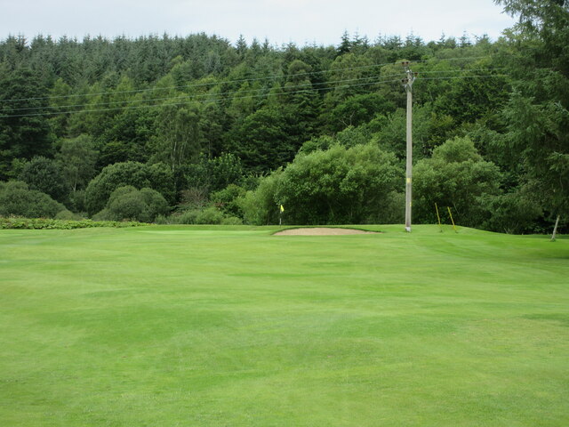
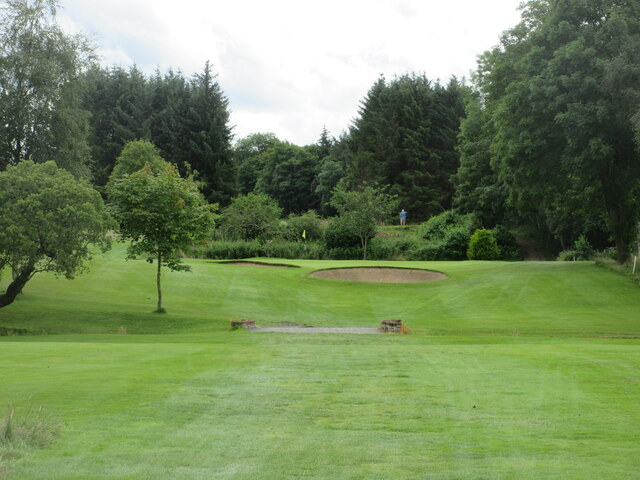
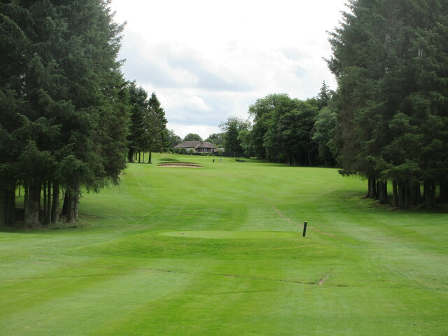
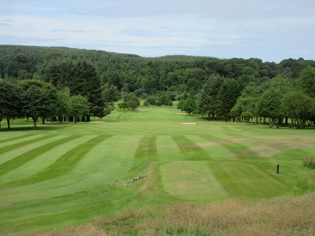
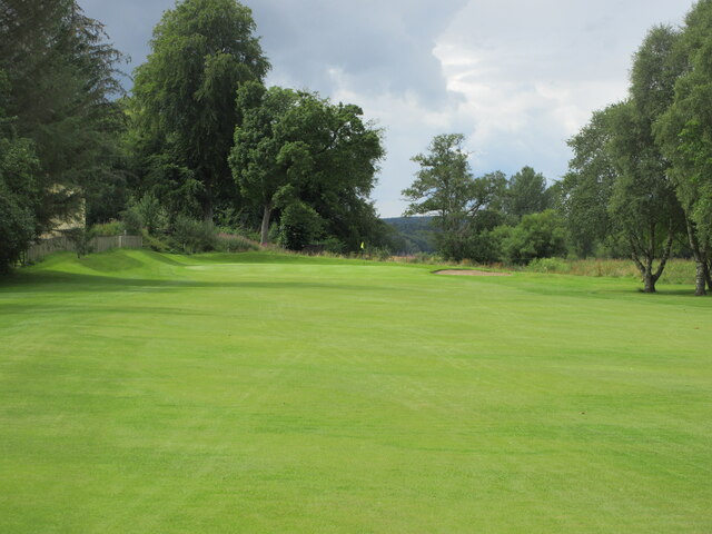
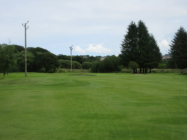
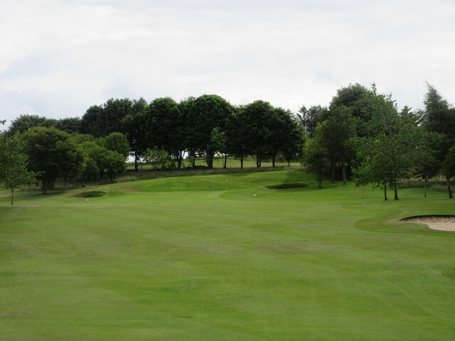
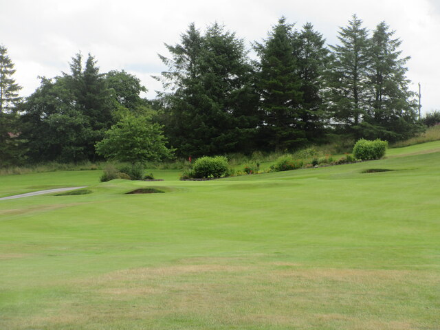
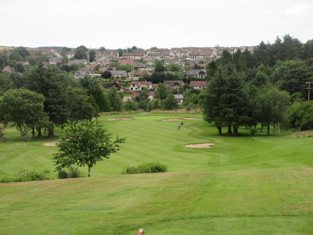
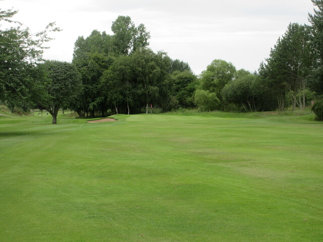
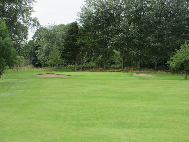
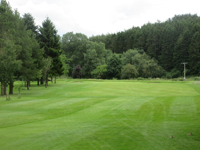
Hill of Kirktown Images
Images are sourced within 2km of 57.545468/-2.5036126 or Grid Reference NJ6950. Thanks to Geograph Open Source API. All images are credited.
Hill of Kirktown is located at Grid Ref: NJ6950 (Lat: 57.545468, Lng: -2.5036126)
Unitary Authority: Aberdeenshire
Police Authority: North East
What 3 Words
///centrally.reinforce.consoled. Near Turriff, Aberdeenshire
Nearby Locations
Related Wikis
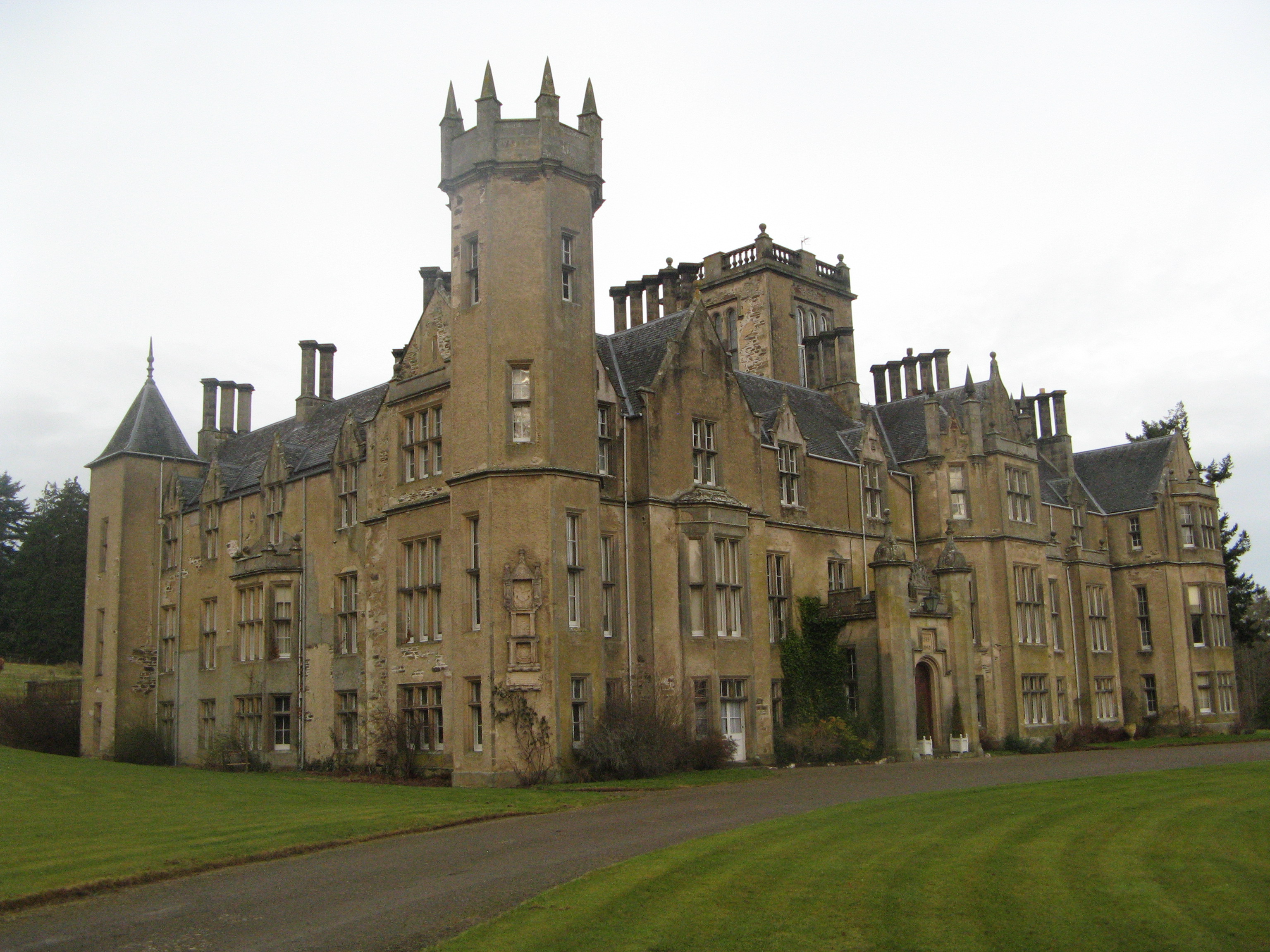
Forglen House
Forglen House is a mansion house that forms the centrepiece of the Forglen estate in the parish of Forglen, north-west of Turriff, Aberdeenshire, in the...

Whitehill Wood, Aberdeenshire
Whitehill Wood is a wood and megalithic stone circle in Aberdeenshire, Scotland, located off the B9025 road between Aberchirder and Turriff and between...
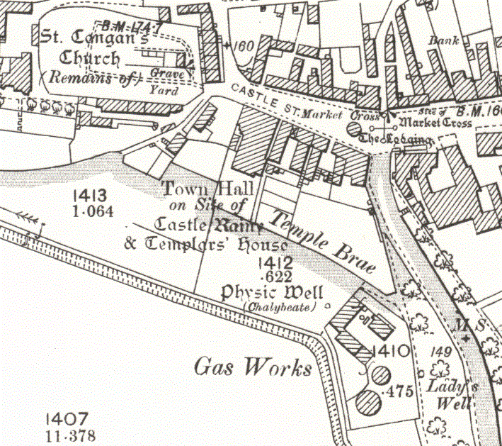
Turriff Castle
Turriff Castle was a tower house, on Castlegate, Turriff, north of Idoch Water, Aberdeenshire, Scotland. The castle was also called Tower of Torrey of...

Turriff United F.C.
Turriff United Football Club are a senior football club currently playing in the Highland Football League in Scotland. They play their matches at The Haughs...
Nearby Amenities
Located within 500m of 57.545468,-2.5036126Have you been to Hill of Kirktown?
Leave your review of Hill of Kirktown below (or comments, questions and feedback).