Smallburn Hill
Hill, Mountain in Northumberland
England
Smallburn Hill

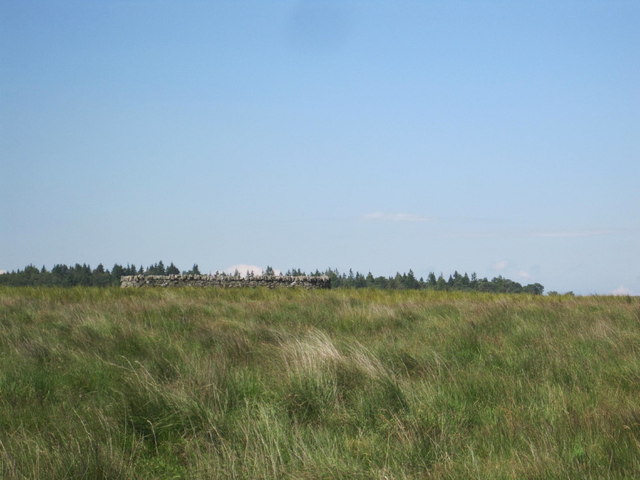
Smallburn Hill is a prominent geographical feature located in the county of Northumberland, England. Situated in the northern part of the county, it forms part of the Cheviot Hills, a range that straddles the border between England and Scotland. Rising to an elevation of approximately 609 meters (1,998 feet), Smallburn Hill is classified as a hill or a mountain, depending on the specific criteria used.
The hill is characterized by its rugged and picturesque landscape, with rolling green slopes and rocky outcrops. It is primarily composed of sedimentary rocks such as sandstone and limestone, which have been shaped and sculpted over millions of years by the forces of nature, resulting in its distinctive appearance.
Smallburn Hill is known for its rich biodiversity and serves as a habitat for a variety of plant and animal species. The hillside is covered with heather and grasses, while patches of bracken and shrubs can also be found. Bird species such as curlews, lapwings, and red grouse are commonly spotted in the area, along with small mammals like rabbits and hares.
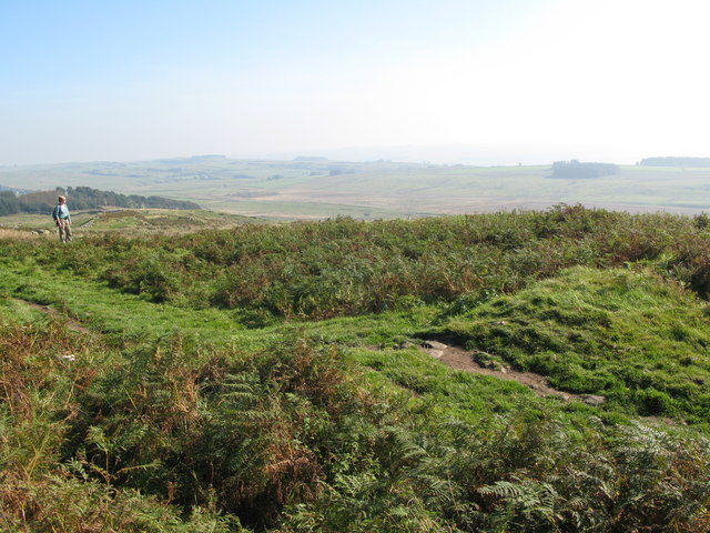
The hill is a popular destination for outdoor enthusiasts, offering opportunities for hiking, nature walks, and photography. Its summit provides panoramic views of the surrounding countryside, including the Cheviot Hills, the Scottish border, and the Northumberland National Park. The hill is easily accessible via footpaths and trails, making it an attractive location for both locals and tourists seeking a peaceful retreat in nature.
If you have any feedback on the listing, please let us know in the comments section below.
Smallburn Hill Images
Images are sourced within 2km of 55.054372/-2.4717339 or Grid Reference NY6973. Thanks to Geograph Open Source API. All images are credited.


Smallburn Hill is located at Grid Ref: NY6973 (Lat: 55.054372, Lng: -2.4717339)
Unitary Authority: Northumberland
Police Authority: Northumbria
What 3 Words
///unsigned.painters.tailwind. Near Haltwhistle, Northumberland
Nearby Locations
Related Wikis

Churnsike Lodge
Churnsike Lodge is an early Victorian hunting lodge situated in the parish of Greystead, West Northumberland, England. Constructed in 1850 by the Charlton...

Wark Forest
Wark Forest is the southern part of Kielder Forest in Northumberland, England. Wark Forest is found within the south-west tip of Northumberland National...

Northumbria
Northumbria (; Old English: Norþanhymbra rīċe [ˈnorˠðɑnˌhymbrɑ ˈriːt͡ʃe]; Latin: Regnum Northanhymbrorum) was an early medieval Anglo-Saxon kingdom in...
Milecastle 44
Milecastle 44 (Allolee) was a milecastle on Hadrian's Wall (grid reference NY68886694). == Description == Milecastle 44 is located about 1.5 kilometres...
Nearby Amenities
Located within 500m of 55.054372,-2.4717339Have you been to Smallburn Hill?
Leave your review of Smallburn Hill below (or comments, questions and feedback).