Kirkton
Settlement in Banffshire
Scotland
Kirkton
Kirkton is a small village located in the region of Banffshire, Scotland. Situated on the eastern coast of the country, it lies approximately 8 miles south of the town of Banff. Kirkton is nestled amidst picturesque countryside, offering stunning views of rolling hills and the nearby North Sea.
The village is home to a close-knit community, with a population of around 300 residents. It boasts a peaceful and tranquil atmosphere, making it an ideal place for those seeking a rural lifestyle. The village is characterized by its charming stone-built cottages and well-manicured gardens, reflecting the pride of its inhabitants.
Kirkton is well-connected to neighboring towns and cities by a network of roads, making it easily accessible for both residents and visitors. The village offers limited amenities, including a local convenience store and a community hall that serves as a hub for various social gatherings and events.
For outdoor enthusiasts, Kirkton provides ample opportunities for exploring the surrounding natural beauty. The village is located close to several walking trails and cycle paths, allowing residents to enjoy the serene countryside and take in the fresh air. Additionally, the nearby coastline offers sandy beaches and rugged cliffs, enticing visitors with its scenic beauty.
Overall, Kirkton is a tranquil and picturesque village, offering a peaceful lifestyle in a stunning natural setting. Its close-knit community and idyllic surroundings make it a desirable place to live for those seeking a slower pace of life in the heart of Banffshire.
If you have any feedback on the listing, please let us know in the comments section below.
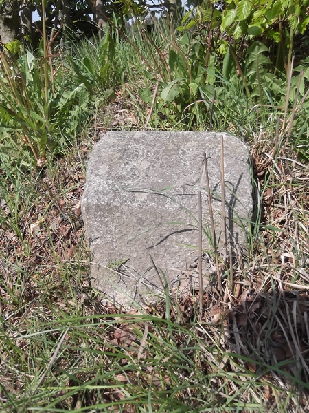
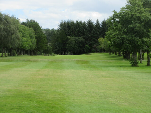
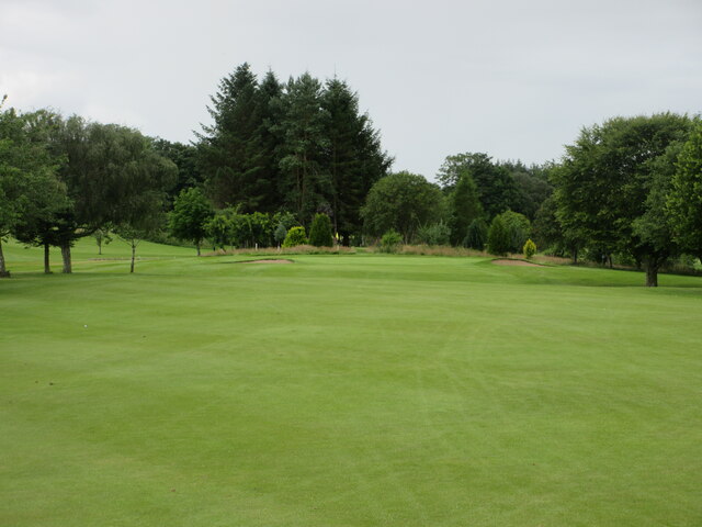
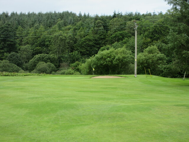
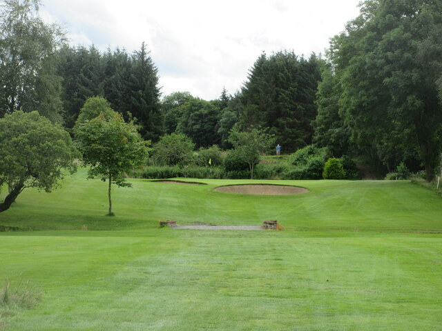
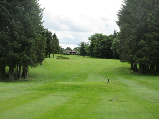
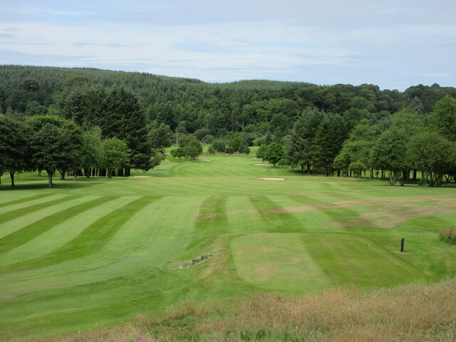
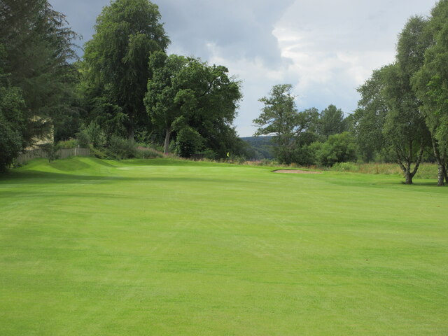
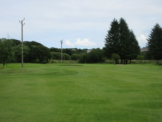
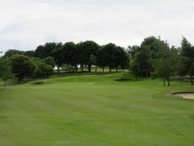
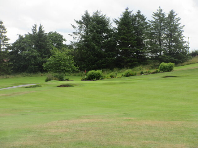
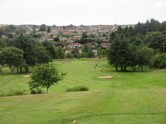
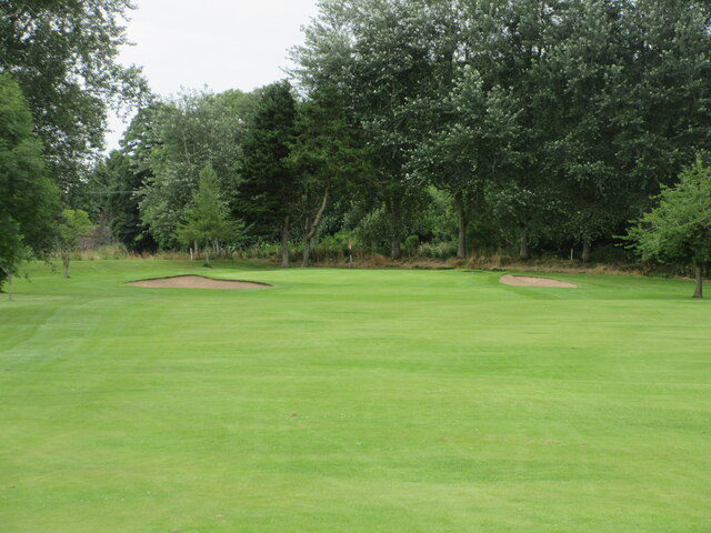
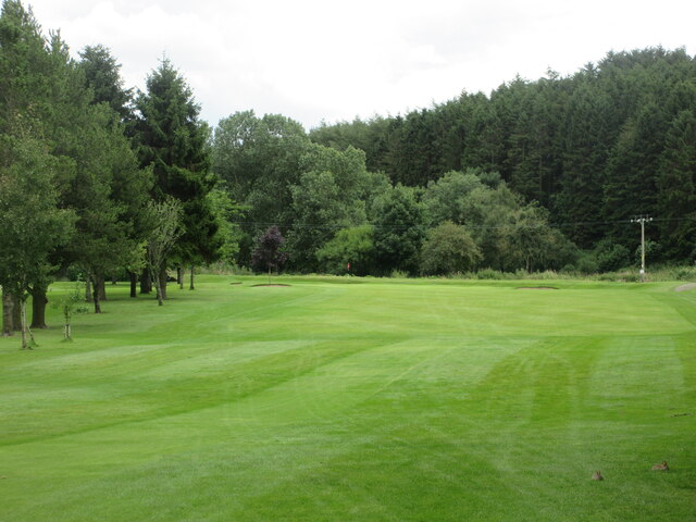
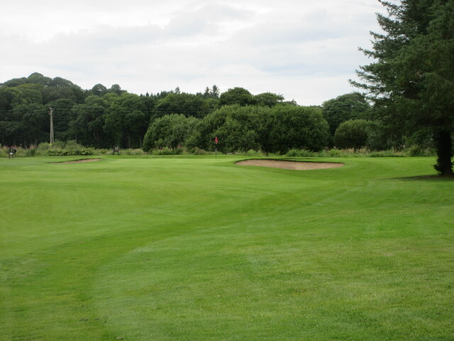
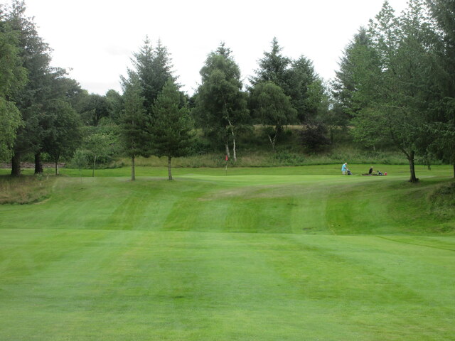
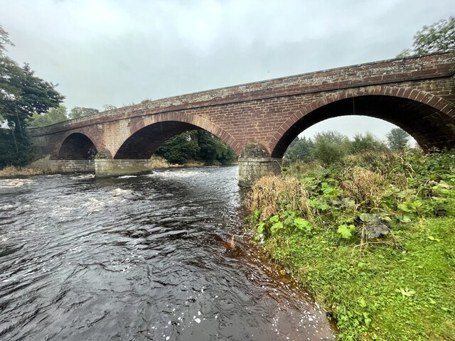
Kirkton Images
Images are sourced within 2km of 57.540623/-2.5089579 or Grid Reference NJ6950. Thanks to Geograph Open Source API. All images are credited.

Kirkton is located at Grid Ref: NJ6950 (Lat: 57.540623, Lng: -2.5089579)
Unitary Authority: Aberdeenshire
Police Authority: North East
What 3 Words
///evaded.commander.rigs. Near Turriff, Aberdeenshire
Nearby Locations
Related Wikis
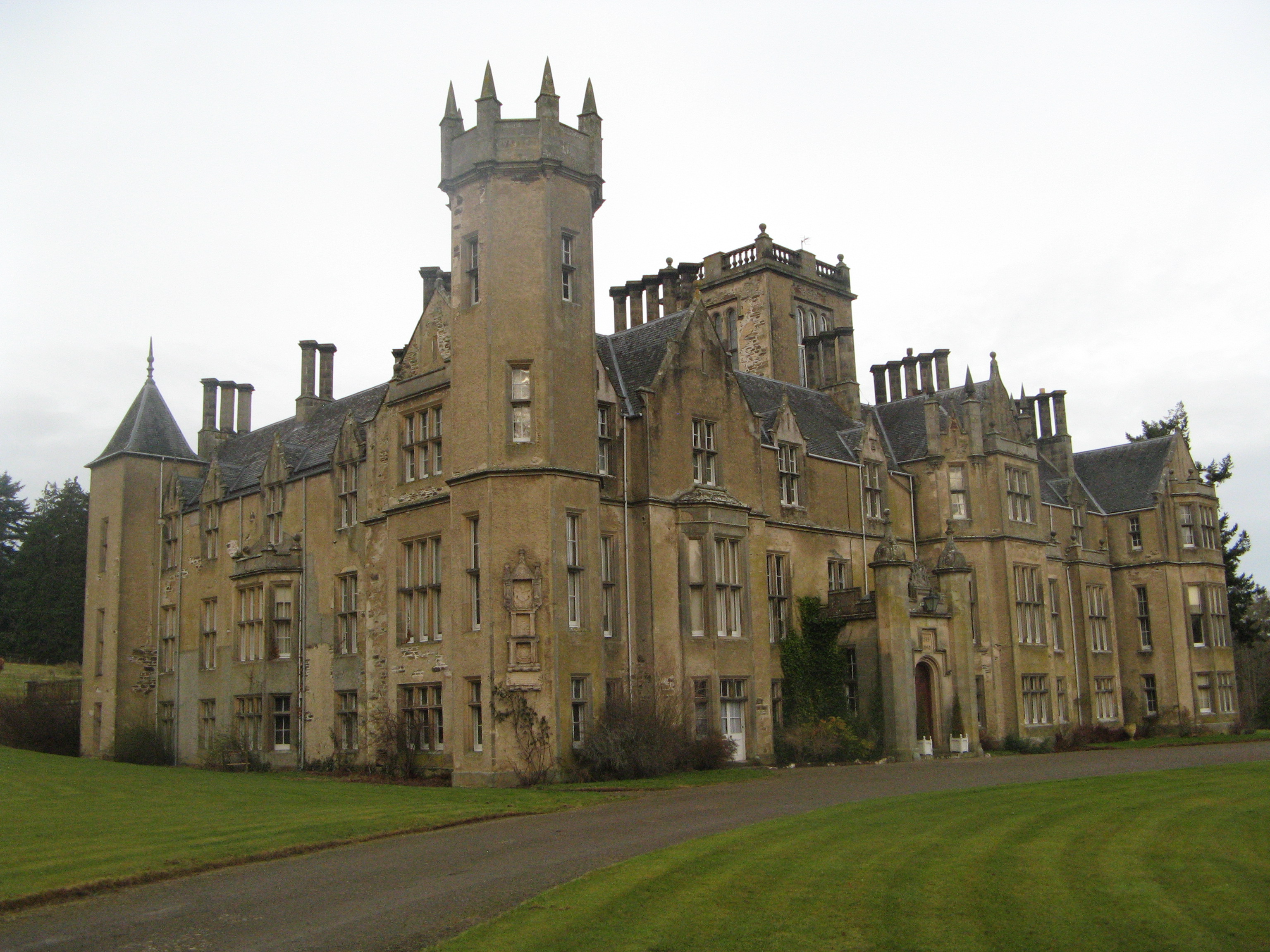
Forglen House
Forglen House is a mansion house that forms the centrepiece of the Forglen estate in the parish of Forglen, north-west of Turriff, Aberdeenshire, in the...

Whitehill Wood, Aberdeenshire
Whitehill Wood is a wood and megalithic stone circle in Aberdeenshire, Scotland, located off the B9025 road between Aberchirder and Turriff and between...

Bogton
Bogton is a rural area in Aberdeenshire, Scotland. To the south is Whitehill Wood and megalithic circle. == References ==

Turriff United F.C.
Turriff United Football Club are a senior football club currently playing in the Highland Football League in Scotland. They play their matches at The Haughs...
Nearby Amenities
Located within 500m of 57.540623,-2.5089579Have you been to Kirkton?
Leave your review of Kirkton below (or comments, questions and feedback).