Quarry Hill

Hill, Mountain in Worcestershire Malvern Hills

England

Quarry Hill

Loxton, Stanford-on-Teme House and farm buildings viewed from the road to the east.
Loxton, Stanford-on-Teme Credit: Philip Halling

Quarry Hill is a picturesque hill located in Worcestershire, England. Standing at an elevation of approximately 260 meters, it is considered a prominent geographical feature in the region. The hill is situated near the village of Clent, within the Clent Hills range.

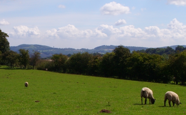
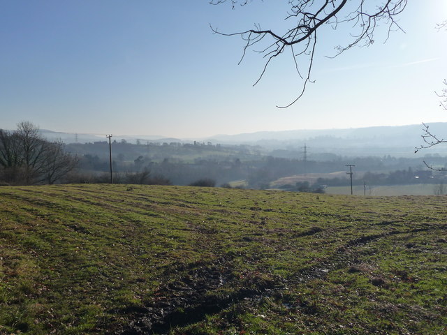
Quarry Hill offers breathtaking panoramic views of the surrounding countryside, making it a popular destination for nature enthusiasts and hikers. The hill is characterized by its rolling green slopes, dotted with patches of woodland and grazing fields. Its diverse flora and fauna attract a variety of wildlife, including birds, rabbits, and deer.

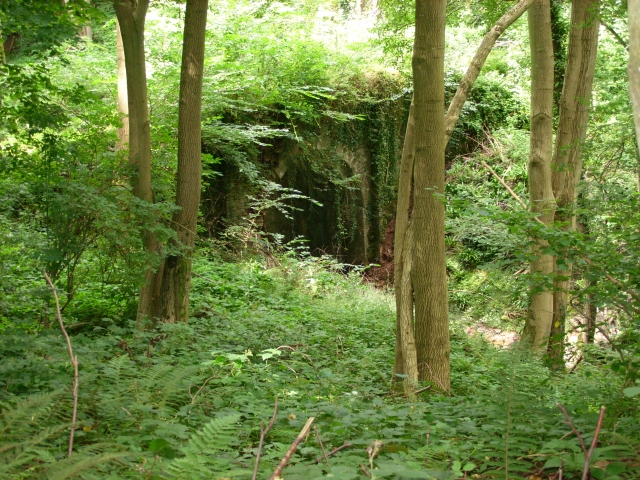
As the name suggests, Quarry Hill has a history of quarrying activities. In the past, limestone was extracted from the hill for construction purposes. Today, evidence of the quarrying can still be seen in the form of disused quarries and rock outcrops.

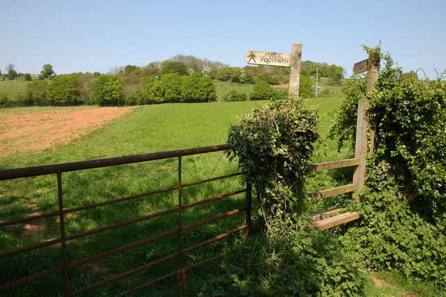
The hill is also home to several walking trails, allowing visitors to explore its natural beauty and enjoy the tranquility of the countryside. One of the most popular routes is the Clent Hills Circular Walk, which takes visitors on a scenic journey around the hill, passing through woodlands, meadows, and offering stunning vistas along the way.

Quarry Hill is easily accessible, with ample parking and well-maintained footpaths. It attracts visitors throughout the year, with autumn showcasing vibrant foliage, winter providing a serene atmosphere, and spring and summer offering opportunities for picnics and outdoor activities.

In conclusion, Quarry Hill in Worcestershire is a charming hill that offers stunning views, diverse wildlife, and a tranquil escape from the hustle and bustle of everyday life.

If you have any feedback on the listing, please let us know in the comments section below.
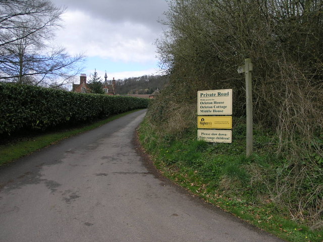
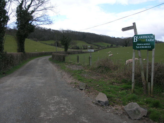
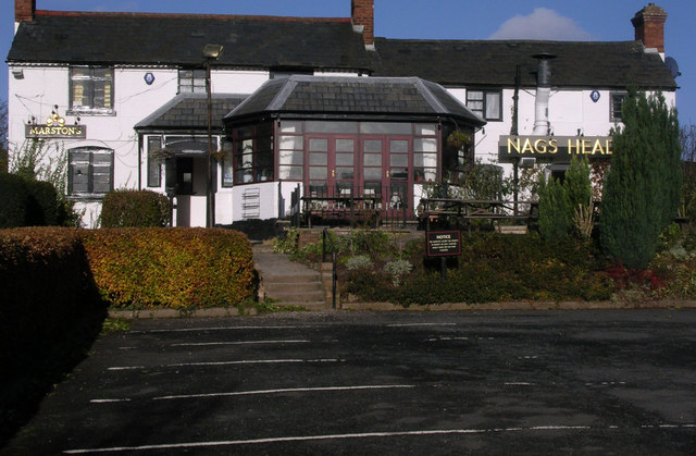
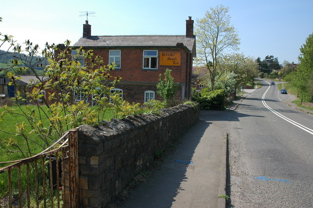
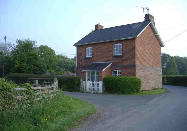
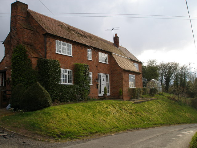
Quarry Hill Images

Images are sourced within 2km of 52.302404/-2.4545753 or Grid Reference SO6967. Thanks to Geograph Open Source API. All images are credited.

Loxton, Stanford-on-Teme House and farm buildings viewed from the road to the east.
Loxton, Stanford-on-Teme
House and farm buildings viewed from the road to the east.
Private Road Public Footpath This private road to Orleton House is also a public footpath to Quarry Hill.
Private Road Public Footpath
This private road to Orleton House is also a public footpath to Quarry Hill.
Patchwork Field This field is bounded by the line of trees which follow the River Teme.
Patchwork Field
This field is bounded by the line of trees which follow the River Teme.
Bridleway to Eastham Grange Hiding away somewhere on this hillside is a caravan park.
Bridleway to Eastham Grange
Hiding away somewhere on this hillside is a caravan park.
Nag's Head Pub On the A 443 Worcester Tenbury Road in the Teme Valley.
Nag's Head Pub
On the A 443 Worcester Tenbury Road in the Teme Valley.
Footpath to Frith Common Footpath to Frith Common from Dumbleton Lane.
Footpath to Frith Common
Footpath to Frith Common from Dumbleton Lane.
Cottage in Eardiston
North Lodge, Hanley William
Sheep Pasture, Church Farm, Hanley William Looking towards the Abbeley Clock Tower <a href="https://www.geograph.org.uk/photo/392108">SO7466 : Abberley Clock Tower</a>
Sheep Pasture, Church Farm, Hanley William
Looking towards the Abbeley Clock Tower SO7466 : Abberley Clock Tower
Bridge in Hanley Dingle A very tall brick built bridge over the stream running into Hanley Dingle; close to the noisy waterfall. The bridge carries a farm track and public footpath.
Bridge in Hanley Dingle
A very tall brick built bridge over the stream running into Hanley Dingle; close to the noisy waterfall. The bridge carries a farm track and public footpath.
Teme Valley Looking South east from above Dumbleton Farm
Teme Valley
Looking South east from above Dumbleton Farm
Waterfall in Hanley Dingle, Hanley William, Tenbury Wells Looks almost prehistoric, I think the geology here to be Devonian so I guess prehistoric is about right. Hanley Dingle is an amazing place.
Waterfall in Hanley Dingle, Hanley William, Tenbury Wells
Looks almost prehistoric, I think the geology here to be Devonian so I guess prehistoric is about right. Hanley Dingle is an amazing place.
Hanley Dingle, Scarlet Elf Cup (Sarcoscypha coccinea) I had never seen this fungi, I found it in leaf litter at Hanley Dingle and snapped a picture so I could identify it later.
Hanley Dingle, Scarlet Elf Cup (Sarcoscypha coccinea)
I had never seen this fungi, I found it in leaf litter at Hanley Dingle and snapped a picture so I could identify it later.
Hanley Dingle, Scarlet Elf Cup (Sarcoscypha coccinea) Strange looking fungi I found growing on dead wood at Hanley Dingle, Hanley William.
Hanley Dingle, Scarlet Elf Cup (Sarcoscypha coccinea)
Strange looking fungi I found growing on dead wood at Hanley Dingle, Hanley William.
Nags Head Since September 2009, this has been a balti indian restaurant and takeaway, under new ownership. Since it still advertises its beer garden, and has kept its traditional name, it would seem that it regards itself as a restaurant and pub. It has a special deal on Sunday buffets. It's good that a new use has been found for the premises, as so many rural pubs have been converted into private houses.

<a href="https://www.geograph.org.uk/photo/1900915">SO6868 : Nags Head sign</a>.
Nags Head
Since September 2009, this has been a balti indian restaurant and takeaway, under new ownership. Since it still advertises its beer garden, and has kept its traditional name, it would seem that it regards itself as a restaurant and pub. It has a special deal on Sunday buffets. It's good that a new use has been found for the premises, as so many rural pubs have been converted into private houses. SO6868 : Nags Head sign.
Nags Head sign The new sign for the Nags Head is on a post, at the front of the car park.

<a href="https://www.geograph.org.uk/photo/1900907">SO6868 : Nags Head</a>.
Nags Head sign
The new sign for the Nags Head is on a post, at the front of the car park. SO6868 : Nags Head.
Minor road from A443 to Frith Common The road passes the Nags Head on the right.

<a href="https://www.geograph.org.uk/photo/1900907">SO6868 : Nags Head</a>.
Minor road from A443 to Frith Common
The road passes the Nags Head on the right. SO6868 : Nags Head.
Rural postbox (Elizabeth II post mounted type) near A443 This postbox is on the corner of the minor road to Frith Common, where it joins the A443 road, and opposite the car park of the Nags Head. The postbox comes under the Tenbury Wells office, and is no. WR15 61.
Rural postbox (Elizabeth II post mounted type) near A443
This postbox is on the corner of the minor road to Frith Common, where it joins the A443 road, and opposite the car park of the Nags Head. The postbox comes under the Tenbury Wells office, and is no. WR15 61.
Show me another place!

Quarry Hill is located at Grid Ref: SO6967 (Lat: 52.302404, Lng: -2.4545753)

Administrative County: Worcestershire

District: Malvern Hills

Police Authority: West Mercia

What 3 Words

///glance.juggles.magnetic. Near Collington, Herefordshire

Nearby Locations

Quarry Hill

Related Wikis

Eardiston

Eardiston is a village in Worcestershire, England. The village of Eardiston lies in the valley of the river Teme between Great Witley and Tenbury Wells...

Hanley William

Hanley William is a village and former civil parish, now in the parish of Hanley, in the Malvern Hills district, in the county of Worcestershire, England...

Stanford on Teme

Stanford on Teme is a village and former civil parish, now in the parish of Stanford with Orleton, in the Malvern Hills district, in the county of Worcestershire...

Lindridge

Lindridge is a village and civil parish in the Malvern Hills District in the north of the county of Worcestershire, England, near the Shropshire border...

Stockton on Teme

Stockton on Teme is a village and civil parish in the Malvern Hills District in the county of Worcestershire, England. It is close to the River Teme and...

Frith Common

Frith Common is a village in Worcestershire, England. Frith Common is a village on the north side of the Teme valley, in the parish of Lindridge. It consists...

Eastham, Worcestershire

Eastham is a village and civil parish in the Malvern Hills District in the county of Worcestershire, England. It had a population of 254 in 2021.Eastham...

Hanley, Worcestershire

Hanley is a civil parish in the district of Malvern Hills in the county of Worcestershire, England. Hanley William and Hanley Child are places within the...

Related Videos

MEDIEVAL MILL TURNED FAIRYTALE ENGLISH COTTAGE - Explore This Rural Countryside Cottage

Come with me this week and explore this former medieval mill turned fairytale English countryside cottage. Located in a valley in ...

Lindridge St Lawrence CE Primary School - Diocese of Worcester

With the whole school community finding these times of COVID-19 particularly tough and mental health and wellbeing high on ...

Nearby Amenities

Located within 500m of 52.302404,-2.4545753
Barrier: stile
Material: wood
Stile: stepover
Lat/Long: 52.3006128/-2.4612218
Power: pole
Lat/Long: 52.3062335/-2.4525435
Power: pole
Lat/Long: 52.3065722/-2.4538256
Power: pole
Lat/Long: 52.3063221/-2.4548878
Power: pole
Lat/Long: 52.306067/-2.455907
Medway Cottage
Power: pole
Transformer: distribution
Voltage Primary: 11000
Lat/Long: 52.3054024/-2.4564857
Power: pole
Lat/Long: 52.3021247/-2.4479429
Howney Style Cottage
Power: pole
Transformer: distribution
Voltage Primary: 11000
Lat/Long: 52.3028373/-2.4497976
Power: pole
Lat/Long: 52.30244/-2.4487509
Power: pole
Lat/Long: 52.3018307/-2.4490526
Power: pole
Lat/Long: 52.3013198/-2.4493007
Power: pole
Lat/Long: 52.3008318/-2.4495348
Power: pole
Lat/Long: 52.3001962/-2.4506633
Upper House Farm
Power: pole
Transformer: distribution
Voltage Primary: 11000
Lat/Long: 52.2996123/-2.4516839
Power: pole
Lat/Long: 52.2989357/-2.4529164
Power: pole
Lat/Long: 52.2983534/-2.4530397
The data included in this document is from www.openstreetmap.org. The data is made available under ODbL.

Have you been to Quarry Hill?

Leave your review of Quarry Hill below (or comments, questions and feedback).