Akay Hill

Hill, Mountain in Yorkshire South Lakeland

England

Akay Hill

Rash Mill and chapel A grade II listed 18th century water-powered corn mill (left) with at right a Methodist chapel. See <a href="https://www.geograph.org.uk/photo/4500266">SD6589 : Rash Bridge</a> for a closer view of the mill.   The chapel was closed, and from the amount of cobweb across the door I expect it had not been opened since the start of the Covid-19 pandemic some 17 months earlier.
Rash Mill and chapel Credit: Stephen Craven

Akay Hill, located in Yorkshire, is a prominent geological feature that can be classified as both a hill and a mountain. Rising to an elevation of approximately 400 meters (1300 feet), it offers breathtaking panoramic views of the surrounding countryside. Situated near the village of Akay, the hill is part of the expansive Yorkshire Dales National Park.

The landscape of Akay Hill is characterized by its rugged terrain, consisting of steep slopes and rocky outcrops. The hill is predominantly composed of millstone grit, a coarse-grained sandstone, which contributes to its distinctive appearance. The exposed rock formations serve as a testament to the region's geological history, dating back millions of years.

Akay Hill is a popular destination for outdoor enthusiasts and nature lovers, attracting hikers, climbers, and photographers alike. Several well-marked trails traverse its slopes, offering opportunities for exploration and adventure. The hill's diverse flora and fauna add to its appeal, with heather, mosses, and wildflowers decorating its slopes, and birds and small mammals inhabiting its woodlands.

In addition to its natural beauty, Akay Hill also holds cultural significance. It has been a site of human activity for centuries, with archaeological remains indicating prehistoric settlements and ancient farming practices. The hill's strategic location has also made it a site of military significance throughout history, with remnants of defensive structures and fortifications still visible.

Overall, Akay Hill is a captivating and significant feature of the Yorkshire landscape. Its geological, ecological, and historical attributes make it a notable attraction for visitors and a cherished part of the local community.

If you have any feedback on the listing, please let us know in the comments section below.
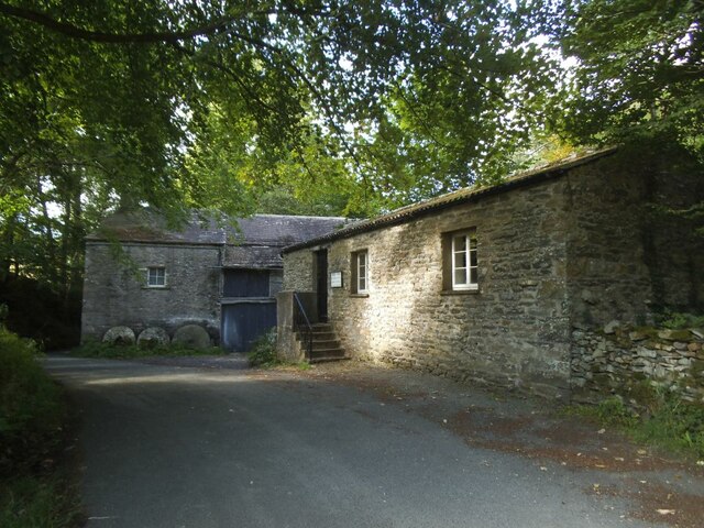
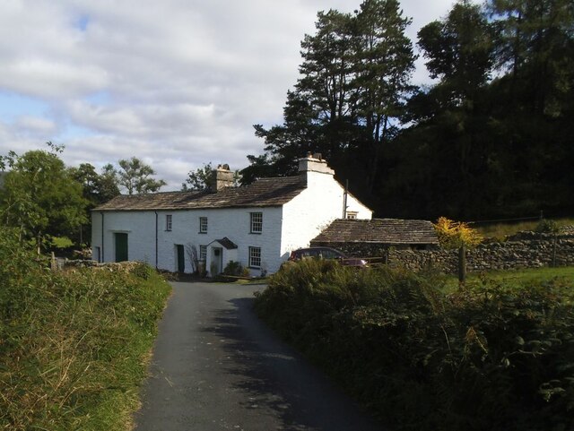
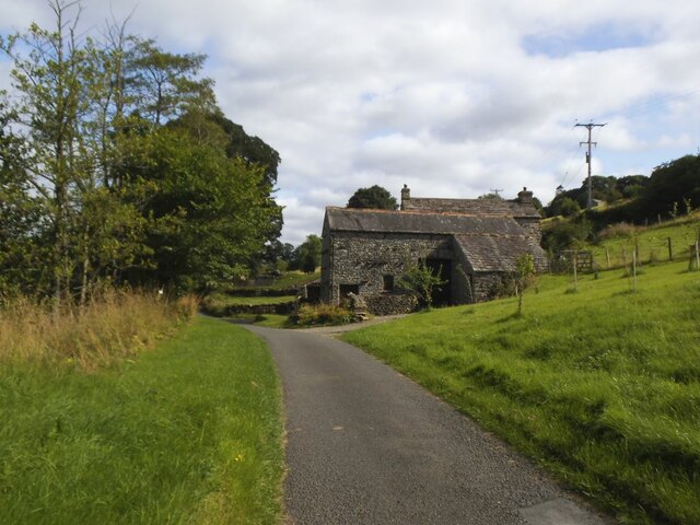
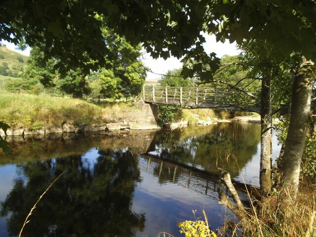
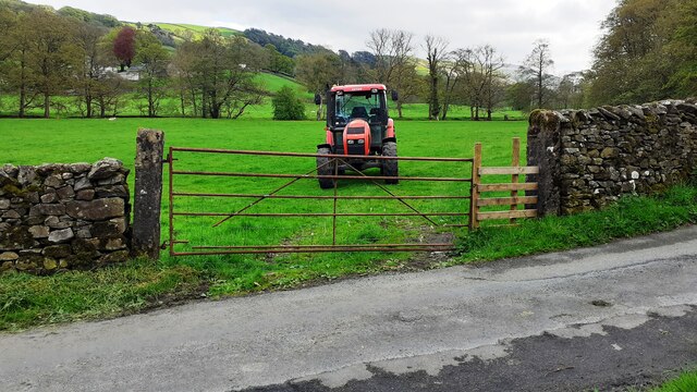
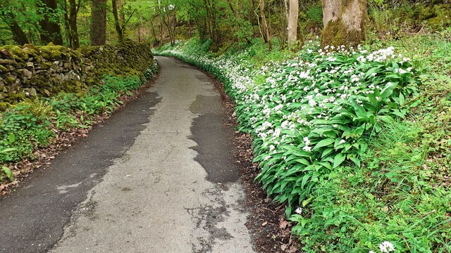
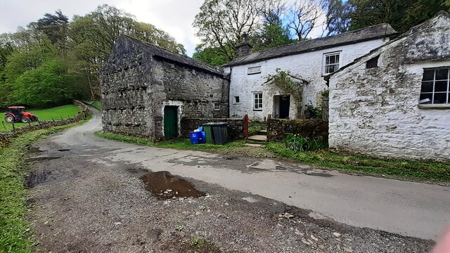
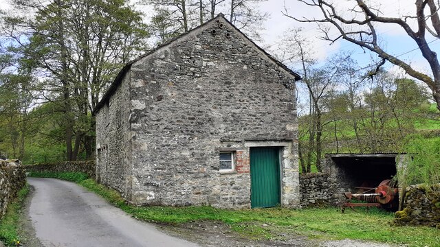
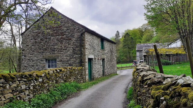
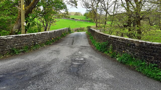
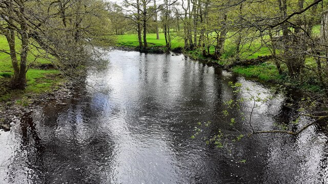
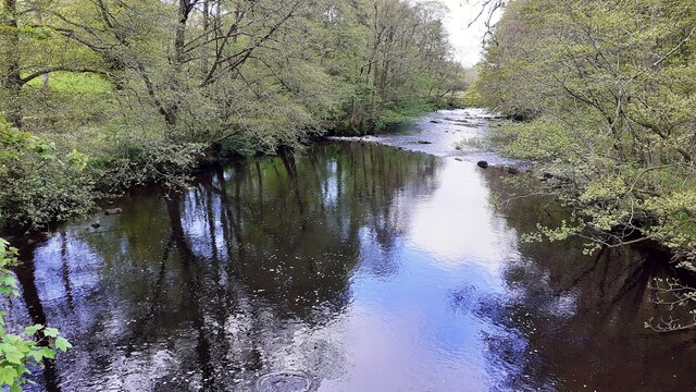
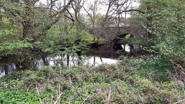
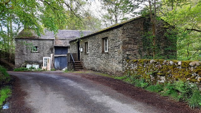
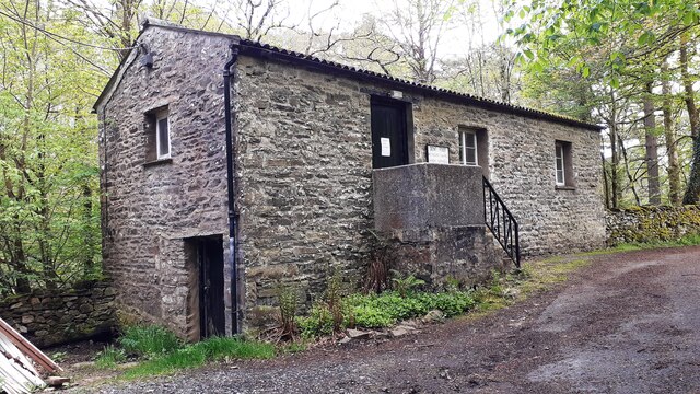
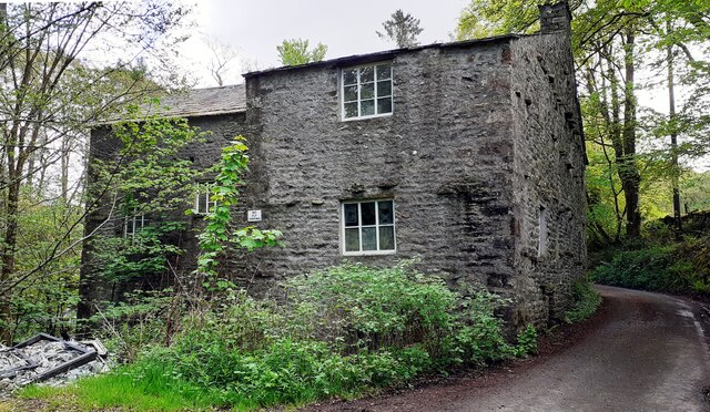
Akay Hill Images

Images are sourced within 2km of 54.301449/-2.514789 or Grid Reference SD6689. Thanks to Geograph Open Source API. All images are credited.

Rash Mill and chapel A grade II listed 18th century water-powered corn mill (left) with at right a Methodist chapel. See <a href="https://www.geograph.org.uk/photo/4500266">SD6589 : Rash Bridge</a> for a closer view of the mill.   The chapel was closed, and from the amount of cobweb across the door I expect it had not been opened since the start of the Covid-19 pandemic some 17 months earlier.
Rash Mill and chapel
A grade II listed 18th century water-powered corn mill (left) with at right a Methodist chapel. See SD6589 : Rash Bridge for a closer view of the mill. The chapel was closed, and from the amount of cobweb across the door I expect it had not been opened since the start of the Covid-19 pandemic some 17 months earlier.
Brackensgill farm A grade II listed farmhouse with attached barn, "perhaps C17, remodelled and enlarged in C18 and C19" (list entry 1383931).
Brackensgill farm
A grade II listed farmhouse with attached barn, "perhaps C17, remodelled and enlarged in C18 and C19" (list entry 1383931).
Ellers barn A grade II listed barn (list entry 1383860).  The farmhouse beyond <a href="https://www.geograph.org.uk/photo/3629842">SD6788 : The farm at Ellers</a>, not clearly visible in this photo, is also listed (1383859).
Ellers barn
A grade II listed barn (list entry 1383860). The farmhouse beyond SD6788 : The farm at Ellers, not clearly visible in this photo, is also listed (1383859).
Footbridge over the river Dee at Ellers This is the small river Dee in Cumbria, not the better known larger rivers of that name in Cheshire or Aberdeen. The bridge is close to Ellers Farm <a href="https://www.geograph.org.uk/photo/2674190">SD6788 : Ellers, lower Dentdale</a>, so I presume it was intended primarily for their use, but it is on a public footpath.   Quite a long single span (c.15m) for a straight (not arched) wooden footbridge.
Footbridge over the river Dee at Ellers
This is the small river Dee in Cumbria, not the better known larger rivers of that name in Cheshire or Aberdeen. The bridge is close to Ellers Farm SD6788 : Ellers, lower Dentdale, so I presume it was intended primarily for their use, but it is on a public footpath. Quite a long single span (c.15m) for a straight (not arched) wooden footbridge.
Tractor in field at Rash
Rural road SE of Rash entering Scar wood Wild garlic adorns the right hand verge
Rural road SE of Rash entering Scar wood
Wild garlic adorns the right hand verge
Rash Mill Cottage and outbuildings
Farm building SE of Rash Bridge
Farm buildings beside road SE of Rash Bridge
Bridge taking Mill Lane over River Dee
Rash Mill Cottage and outbuildings
Looking southeast along River Dee from Rash Bridge
Looking northwest along River Dee from Rash Bridge
View to Rash Bridge from road on SW side of River Dee
Dent Foot Methodist Chapel and Rash Mill
Dent Foot Methodist Chapel The notice on the door reports 'chapel now closed'
Dent Foot Methodist Chapel
The notice on the door reports 'chapel now closed'
Northwest face of Rash Mill
Footbringe over the River Dee
Show me another place!

Akay Hill is located at Grid Ref: SD6689 (Lat: 54.301449, Lng: -2.514789)

Division: West Riding

Administrative County: Cumbria

District: South Lakeland

Police Authority: Cumbria

What 3 Words

///rattled.cooking.fallback. Near Sedbergh, Cumbria

Related Wikis

Millthrop

Millthrop is a hamlet in the South Lakeland district of Cumbria, Northern England and the Yorkshire Dales. Millthrop lies on the south bank of the River...

Sedbergh School Chapel

Sedbergh School Chapel is located to the southeast of Sedbergh School, Sedbergh, Cumbria, England. It is considered to be of architectural importance...

River Dee, Cumbria

The River Dee is a river running through the extreme south east of Cumbria, a part of the Craven region traditionally part of the West Riding of Yorkshire...

Settlebeck School

Settlebeck School is a small coeducational secondary school with academy status. It is located in Sedbergh in the English county of Cumbria, drawing pupils...

Sedbergh

Sedbergh ( SED-bər or locally SEB-ər) is a town and civil parish in the ceremonial county of Cumbria. It falls within the historic boundaries of the West...

Sedbergh School

Sedbergh School is a public school (English private boarding and day school) in the town of Sedbergh in Cumbria, North West England. It comprises a junior...

St Andrew's Church, Sedbergh

St Andrew's Church is in Main Street, Sedbergh, Cumbria, England. It is an active Anglican parish church in the deanery of Kendal, and the diocese of Carlisle...

The Bull Hotel, Sedbergh

The Bull Hotel, formerly The Black Bull Hotel, is a 17th-century coaching inn in Sedbergh, Cumbria. It is located in a narrow passage parallel with the...

Nearby Amenities

Located within 500m of 54.301449,-2.514789
Post Box
Operator: Royal Mail
Post Box Type: wall
Ref: LA10 76
Royal Cypher: EVIIR
Royal Cypher Wikidata: Q33102324
Source: survey
Lat/Long: 54.3012865/-2.5118151
Barrier: stile
Material: stone
Source: survey;gps
Stile: stepover
Lat/Long: 54.3042122/-2.5118499
Barrier: stile
Material: stone
Source: survey;gps
Stile: stepover
Lat/Long: 54.3039022/-2.5100212
Barrier: stile
Source: survey;gps
Lat/Long: 54.3043513/-2.512434
Barrier: stile
Material: wood
Source: survey;gps
Stile: ladder
Lat/Long: 54.3058734/-2.5157834
Hiking: yes
Information: guidepost
Source: GPS survey
Tourism: information
Lat/Long: 54.3047397/-2.5131159
Hiking: yes
Information: guidepost
Source: GPS survey
Tourism: information
Lat/Long: 54.304341/-2.5124647
Hiking: yes
Information: guidepost
Source: GPS survey
Tourism: information
Lat/Long: 54.3029892/-2.5113349
Hiking: yes
Information: guidepost
Source: GPS survey
Tourism: information
Lat/Long: 54.3011267/-2.5115615
Ford: yes
Lat/Long: 54.2990367/-2.513211
Hiking: yes
Information: guidepost
Source: GPS survey
Tourism: information
Lat/Long: 54.2982386/-2.5134947
Power: pole
Lat/Long: 54.3020229/-2.5079961
Power: pole
Lat/Long: 54.3025167/-2.5093498
Power: pole
Lat/Long: 54.3029199/-2.5104714
Power: pole
Lat/Long: 54.3035535/-2.5122177
Power: pole
Lat/Long: 54.3037543/-2.513579
Power: pole
Lat/Long: 54.3040028/-2.5151902
Power: pole
Lat/Long: 54.3041946/-2.5164878
Power: pole
Lat/Long: 54.3044148/-2.517923
Power: pole
Lat/Long: 54.304803/-2.519524
Power: pole
Lat/Long: 54.3012731/-2.5108666
Power: pole
Lat/Long: 54.3021285/-2.5106448
Power: pole
Lat/Long: 54.3040176/-2.5101732
Power: pole
Lat/Long: 54.3041827/-2.5108742
Power: pole
Lat/Long: 54.3044014/-2.5118277
Power: pole
Lat/Long: 54.3046067/-2.5126409
Brackengill
Place: locality
Lat/Long: 54.2981442/-2.513576
Power: pole
Lat/Long: 54.3023393/-2.5213809
Power: pole
Lat/Long: 54.3016474/-2.5201568
Power: pole
Lat/Long: 54.3005431/-2.5168127
Power: pole
Lat/Long: 54.2999588/-2.515773
Power: pole
Lat/Long: 54.2994234/-2.5148459
Power: pole
Lat/Long: 54.2989607/-2.5140602
Power: pole
Lat/Long: 54.2984812/-2.5132265
The data included in this document is from www.openstreetmap.org. The data is made available under ODbL.

Have you been to Akay Hill?

Leave your review of Akay Hill below (or comments, questions and feedback).