Scar Wood

Wood, Forest in Yorkshire South Lakeland

England

Scar Wood

Rash Mill and chapel A grade II listed 18th century water-powered corn mill (left) with at right a Methodist chapel. See <a href="https://www.geograph.org.uk/photo/4500266">SD6589 : Rash Bridge</a> for a closer view of the mill.   The chapel was closed, and from the amount of cobweb across the door I expect it had not been opened since the start of the Covid-19 pandemic some 17 months earlier.
Rash Mill and chapel Credit: Stephen Craven

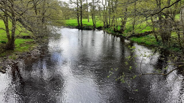
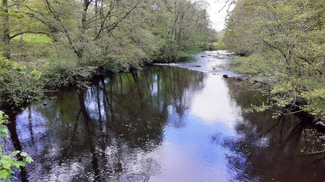
Scar Wood is a picturesque forest located in Yorkshire, England. Covering an area of approximately 100 acres, it is a popular destination for nature enthusiasts and hikers alike. The wood is characterized by its dense foliage and towering trees, creating a serene and peaceful atmosphere for visitors.

The forest is home to a diverse range of flora and fauna, making it an ideal spot for wildlife observation. Visitors can expect to see a variety of bird species, including woodpeckers, owls, and songbirds. Small mammals such as squirrels and rabbits can also be spotted darting through the undergrowth.

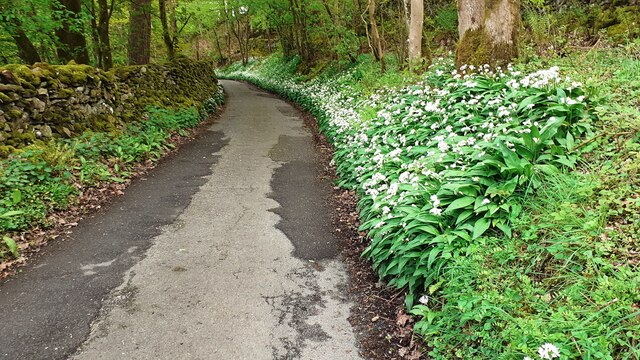
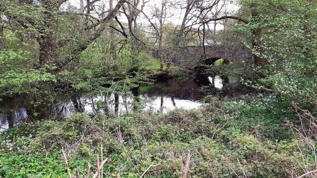
Scar Wood offers several walking trails that wind through its enchanting landscape, providing visitors with ample opportunities to explore its natural beauty. The paths are well-maintained, making it accessible to people of all ages and fitness levels. Along the way, hikers may stumble upon hidden streams and small ponds, adding to the charm of the woodland.

During the spring and summer months, the forest comes alive with vibrant colors as wildflowers bloom, creating a picturesque setting for photographers and nature lovers. In autumn, the changing foliage offers a stunning display of reds, oranges, and yellows, attracting visitors who enjoy the beauty of the changing seasons.

Overall, Scar Wood in Yorkshire is a captivating destination for those seeking an escape from the hustle and bustle of everyday life. Its tranquil atmosphere, diverse wildlife, and scenic beauty make it a must-visit location for anyone with an appreciation for nature.

If you have any feedback on the listing, please let us know in the comments section below.
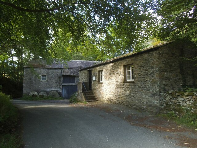
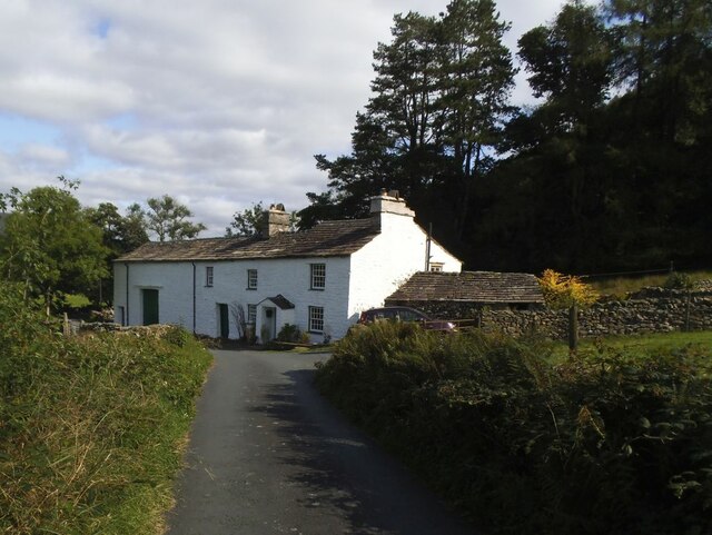
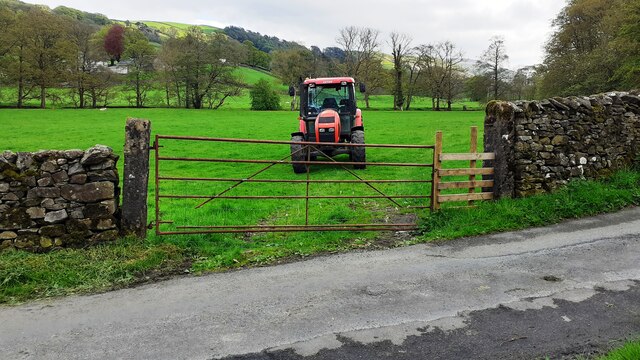
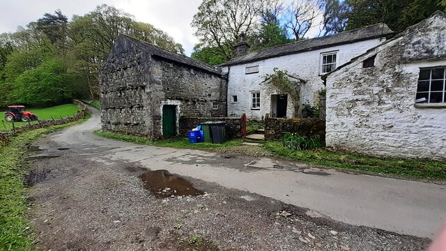
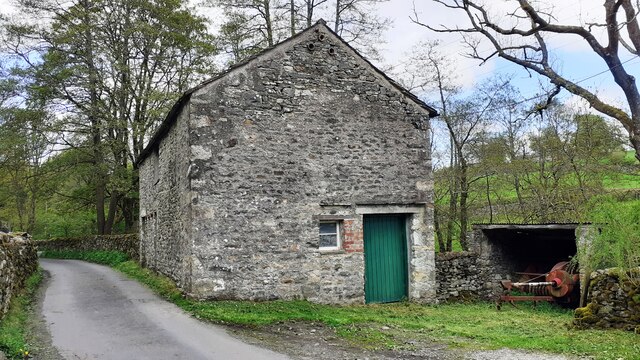
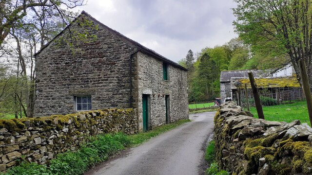
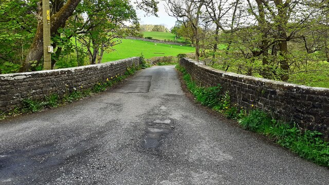
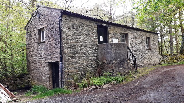
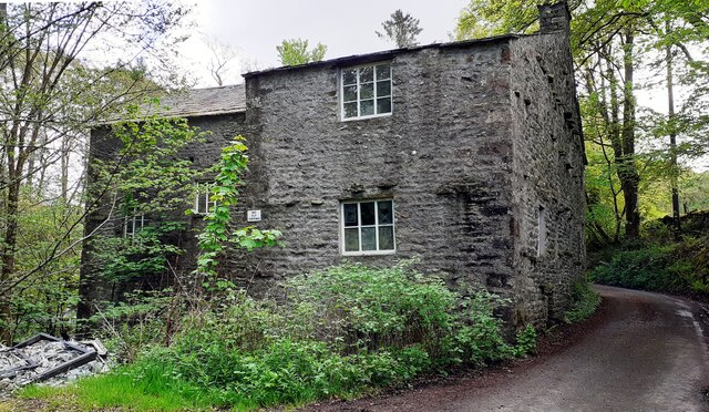
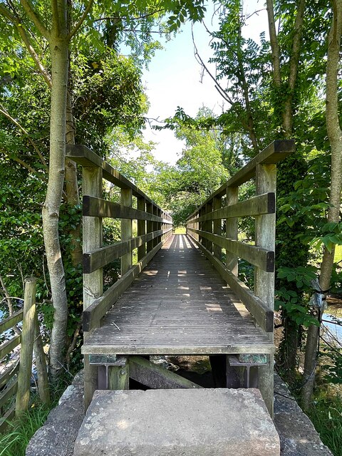
Scar Wood Images

Images are sourced within 2km of 54.301751/-2.5218922 or Grid Reference SD6689. Thanks to Geograph Open Source API. All images are credited.

Rash Mill and chapel A grade II listed 18th century water-powered corn mill (left) with at right a Methodist chapel. See <a href="https://www.geograph.org.uk/photo/4500266">SD6589 : Rash Bridge</a> for a closer view of the mill.   The chapel was closed, and from the amount of cobweb across the door I expect it had not been opened since the start of the Covid-19 pandemic some 17 months earlier.
Rash Mill and chapel
A grade II listed 18th century water-powered corn mill (left) with at right a Methodist chapel. See SD6589 : Rash Bridge for a closer view of the mill. The chapel was closed, and from the amount of cobweb across the door I expect it had not been opened since the start of the Covid-19 pandemic some 17 months earlier.
Brackensgill farm A grade II listed farmhouse with attached barn, "perhaps C17, remodelled and enlarged in C18 and C19" (list entry 1383931).
Brackensgill farm
A grade II listed farmhouse with attached barn, "perhaps C17, remodelled and enlarged in C18 and C19" (list entry 1383931).
Tractor in field at Rash
Rural road SE of Rash entering Scar wood Wild garlic adorns the right hand verge
Rural road SE of Rash entering Scar wood
Wild garlic adorns the right hand verge
Rash Mill Cottage and outbuildings
Farm building SE of Rash Bridge
Farm buildings beside road SE of Rash Bridge
Bridge taking Mill Lane over River Dee
Rash Mill Cottage and outbuildings
Looking southeast along River Dee from Rash Bridge
Looking northwest along River Dee from Rash Bridge
View to Rash Bridge from road on SW side of River Dee
Dent Foot Methodist Chapel and Rash Mill
Dent Foot Methodist Chapel The notice on the door reports 'chapel now closed'
Dent Foot Methodist Chapel
The notice on the door reports 'chapel now closed'
Northwest face of Rash Mill
Footbringe over the River Dee
Solitary tree in a field boundary
Dent Foot Methodist Chapel A sign on the door reads 'CHAPEL NOW CLOSED'
Dent Foot Methodist Chapel
A sign on the door reads 'CHAPEL NOW CLOSED'
Show me another place!

Scar Wood is located at Grid Ref: SD6689 (Lat: 54.301751, Lng: -2.5218922)

Division: West Riding

Administrative County: Cumbria

District: South Lakeland

Police Authority: Cumbria

What 3 Words

///hoot.teaching.centrally. Near Sedbergh, Cumbria

Related Wikis

Millthrop

Millthrop is a hamlet in the South Lakeland district of Cumbria, Northern England and the Yorkshire Dales. Millthrop lies on the south bank of the River...

River Dee, Cumbria

The River Dee is a river running through the extreme south east of Cumbria, a part of the Craven region traditionally part of the West Riding of Yorkshire...

Sedbergh School Chapel

Sedbergh School Chapel is located to the southeast of Sedbergh School, Sedbergh, Cumbria, England. It is considered to be of architectural importance...

Sedbergh

Sedbergh ( SED-bər or locally SEB-ər) is a town and civil parish in the ceremonial county of Cumbria. It falls within the historic boundaries of the West...

Nearby Amenities

Located within 500m of 54.301751,-2.5218922
Rash House (E bound)
Local Ref: AT
Naptan AtcoCode: 090079181423
Naptan Bearing: E
Naptan BusStopType: CUS
Naptan CommonName: Rash House (E bound)
Naptan Indicator: at
Naptan Landmark: Rash House
Naptan NaptanCode: cumdgwgj
Naptan Street: No name
Naptan Verified: no
Source: naptan_import
Lat/Long: 54.3039682/-2.5215223
Rash House (W bound)
Naptan AtcoCode: 090079183316
Naptan Bearing: W
Naptan BusStopType: CUS
Naptan CommonName: Rash House (W bound)
Naptan Indicator: opp
Naptan Landmark: Rash House
Naptan NaptanCode: cumdgwjd
Naptan Street: No name
Naptan Verified: no
Source: naptan_import
Lat/Long: 54.3038641/-2.5217682
Barrier: stile
Material: wood
Source: survey;gps
Stile: ladder
Lat/Long: 54.305984/-2.520032
Power: pole
Lat/Long: 54.3041946/-2.5164878
Power: pole
Lat/Long: 54.3044148/-2.517923
Power: pole
Lat/Long: 54.304803/-2.519524
Power: pole
Lat/Long: 54.3052567/-2.5214003
Power: pole
Lat/Long: 54.305633/-2.522884
Power: pole
Lat/Long: 54.3057401/-2.5234117
Power: pole
Lat/Long: 54.305865/-2.523919
Power: pole
Lat/Long: 54.3059379/-2.5233071
Power: pole
Lat/Long: 54.3050063/-2.5264139
Power: pole
Lat/Long: 54.3045045/-2.5254126
Power: pole
Lat/Long: 54.3039817/-2.5243825
Power: pole
Lat/Long: 54.3035428/-2.5235177
Power: pole
Lat/Long: 54.3029334/-2.5224422
Power: pole
Lat/Long: 54.3023393/-2.5213809
Power: pole
Lat/Long: 54.3016474/-2.5201568
Power: pole
Lat/Long: 54.3039174/-2.5238819
Power: pole
Lat/Long: 54.3038391/-2.5231728
Power: pole
Lat/Long: 54.3037008/-2.5219846
Power: pole
Lat/Long: 54.3005431/-2.5168127
Power: pole
Lat/Long: 54.2999588/-2.515773
The data included in this document is from www.openstreetmap.org. The data is made available under ODbL.

Have you been to Scar Wood?

Leave your review of Scar Wood below (or comments, questions and feedback).