Cowclose Hill
Hill, Mountain in Yorkshire South Lakeland
England
Cowclose Hill
Cowclose Hill is a prominent hill located in Yorkshire, England. Situated in the heart of the picturesque Yorkshire Dales National Park, it forms part of the Pennine range. Rising to an elevation of approximately 546 meters (1,791 feet), Cowclose Hill offers breathtaking panoramic views of the surrounding countryside.
The hill is characterized by its gently sloping sides, covered in lush green vegetation including grasses, heather, and scattered shrubs. The terrain is predominantly rocky, with exposed limestone outcrops adding to the hill's natural charm. Cowclose Hill is a popular destination for hikers and nature enthusiasts, who are drawn to its tranquil beauty and diverse wildlife.
The hill is home to a variety of plant and animal species, including sheep, rabbits, and various bird species such as curlews and lapwings. It also serves as an important habitat for rare and endangered flora, with wildflowers such as harebells and cowslips dotting the landscape during the summer months.
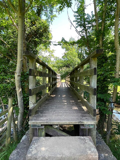
Cowclose Hill is easily accessible, with several walking routes and footpaths leading to its summit. The ascent is relatively moderate, making it suitable for individuals of various fitness levels. At the top, visitors are rewarded with stunning vistas of the rolling Yorkshire countryside, with views stretching as far as the eye can see.
Overall, Cowclose Hill is a natural gem within the Yorkshire Dales, offering visitors a chance to immerse themselves in the region's breathtaking scenery and rich biodiversity. Whether it's for a leisurely stroll or a challenging hike, this hill is a must-visit destination for nature lovers and outdoor enthusiasts alike.
If you have any feedback on the listing, please let us know in the comments section below.
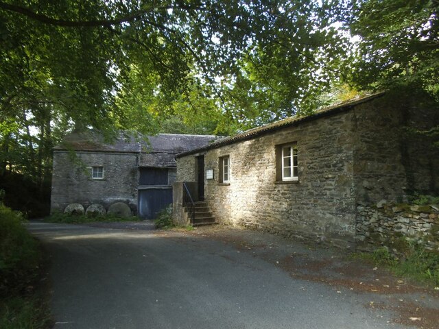
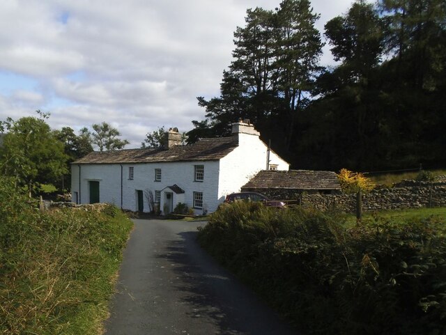
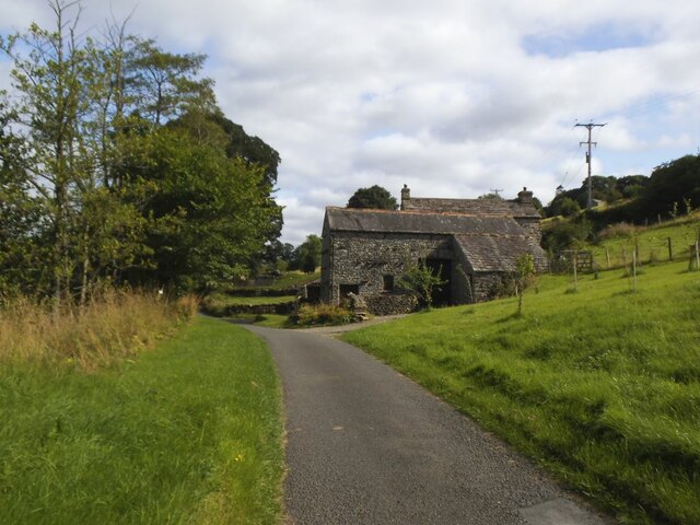
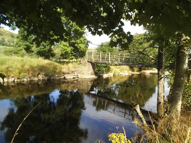
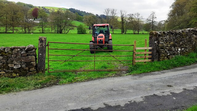
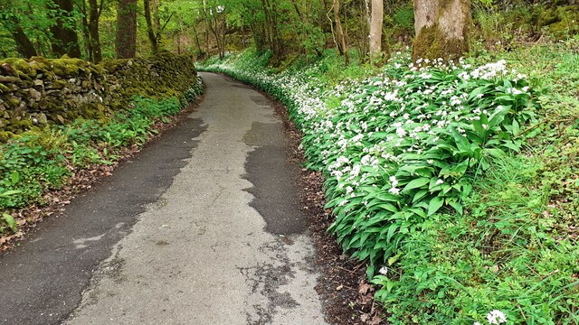
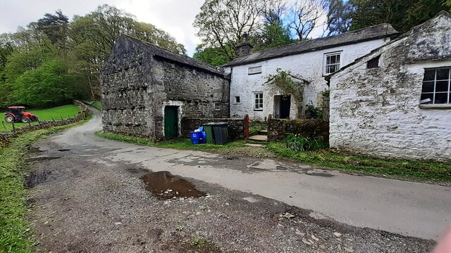
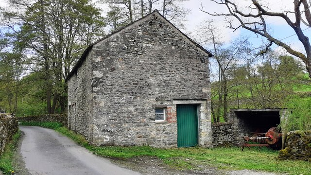
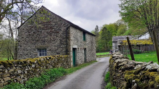
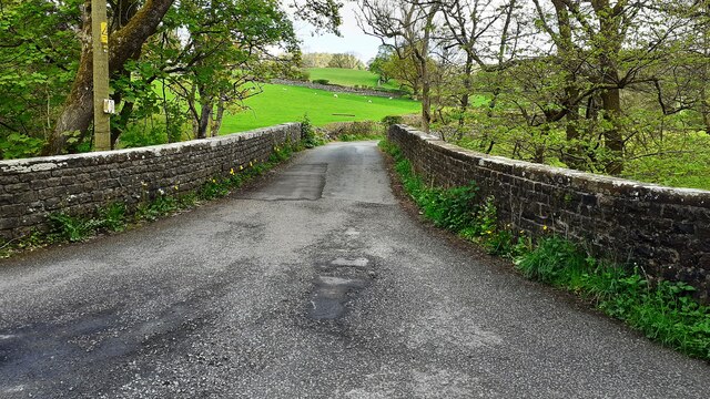
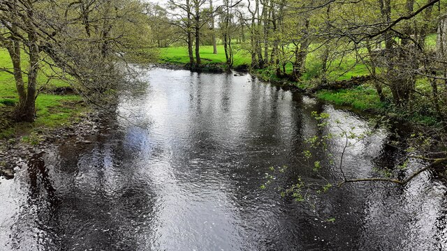
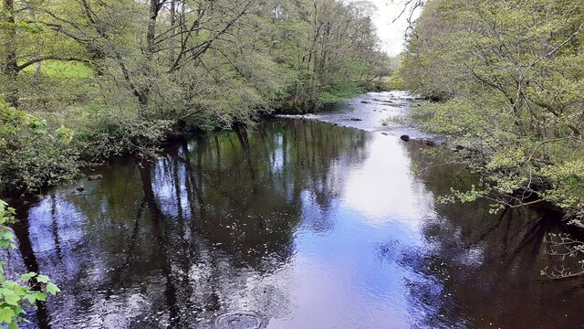
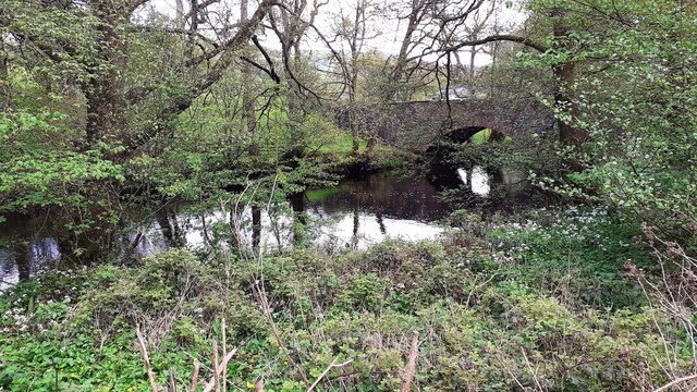
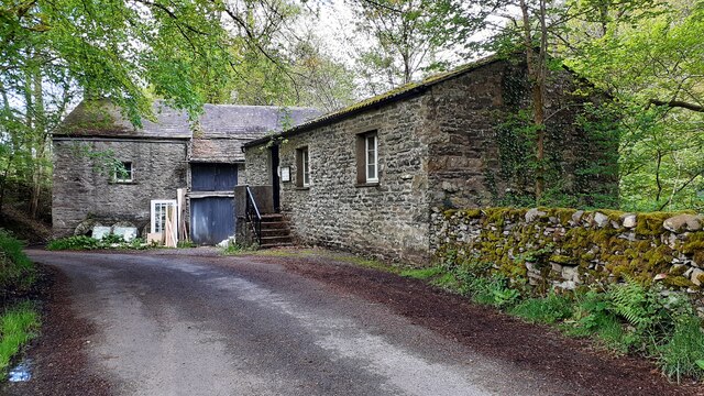
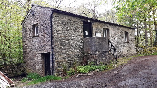
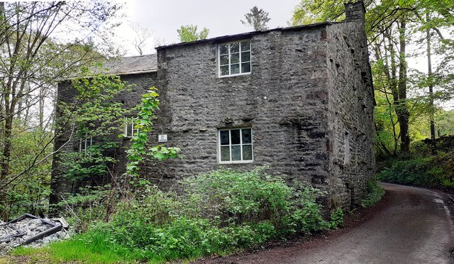
Cowclose Hill Images
Images are sourced within 2km of 54.301046/-2.5184719 or Grid Reference SD6689. Thanks to Geograph Open Source API. All images are credited.

Cowclose Hill is located at Grid Ref: SD6689 (Lat: 54.301046, Lng: -2.5184719)
Division: West Riding
Administrative County: Cumbria
District: South Lakeland
Police Authority: Cumbria
What 3 Words
///astounded.screen.nipped. Near Sedbergh, Cumbria
Nearby Locations
Related Wikis

Millthrop
Millthrop is a hamlet in the South Lakeland district of Cumbria, Northern England and the Yorkshire Dales. Millthrop lies on the south bank of the River...

River Dee, Cumbria
The River Dee is a river running through the extreme south east of Cumbria, a part of the Craven region traditionally part of the West Riding of Yorkshire...

Sedbergh School Chapel
Sedbergh School Chapel is located to the southeast of Sedbergh School, Sedbergh, Cumbria, England. It is considered to be of architectural importance...

Sedbergh
Sedbergh ( SED-bər or locally SEB-ər) is a town and civil parish in the ceremonial county of Cumbria. It falls within the historic boundaries of the West...
Nearby Amenities
Located within 500m of 54.301046,-2.5184719Have you been to Cowclose Hill?
Leave your review of Cowclose Hill below (or comments, questions and feedback).