Brackensgill Wood
Wood, Forest in Yorkshire South Lakeland
England
Brackensgill Wood
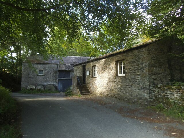
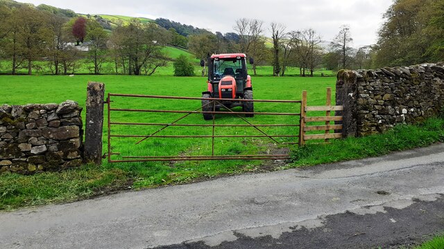
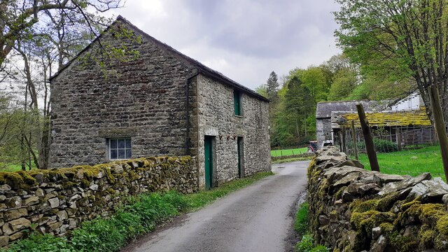
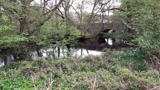
Brackensgill Wood is a picturesque woodland located in the heart of Yorkshire, England. Spanning over 100 acres, this enchanting forest is known for its diverse range of flora and fauna, making it a haven for nature enthusiasts.
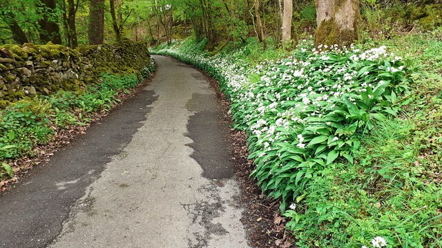
The wood is primarily composed of oak and birch trees, which create a dense canopy that filters sunlight to create a tranquil and shaded environment. The forest floor is covered in a rich carpet of moss, ferns, and wildflowers, adding to its natural beauty.
Brackensgill Wood is home to a wide variety of wildlife, including deer, foxes, badgers, and a plethora of bird species. Birdwatchers particularly flock to this area during the spring and summer months when the woodland comes alive with the songs of warblers, thrushes, and woodpeckers.
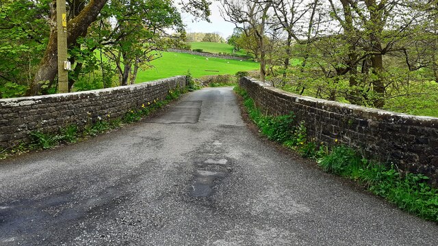
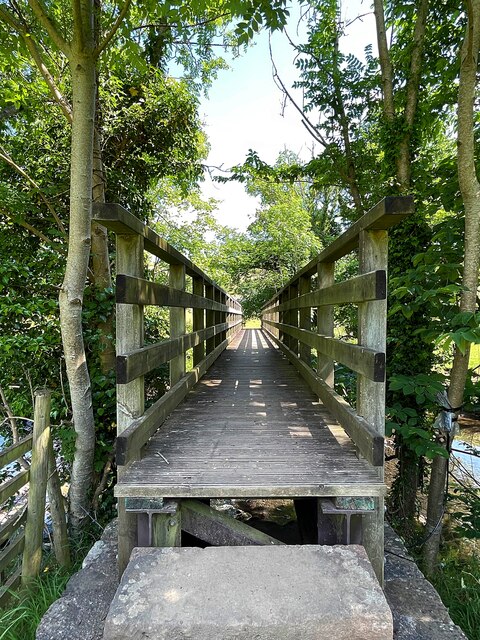
Nature trails wind through the wood, allowing visitors to explore its hidden treasures. The trails are well-maintained, providing a pleasant walking experience for all ages and abilities. Along the way, there are informative signboards highlighting the various species of trees and wildlife that inhabit the forest, offering an educational aspect to the visit.
The wood also features picnic areas and benches, inviting visitors to relax and immerse themselves in the peaceful atmosphere. Families often visit Brackensgill Wood for a day out, enjoying the opportunity to connect with nature and escape the hustle and bustle of everyday life.
Overall, Brackensgill Wood is a stunning woodland retreat that offers a serene and immersive experience in the heart of Yorkshire's natural beauty.
If you have any feedback on the listing, please let us know in the comments section below.
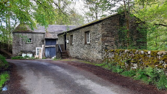
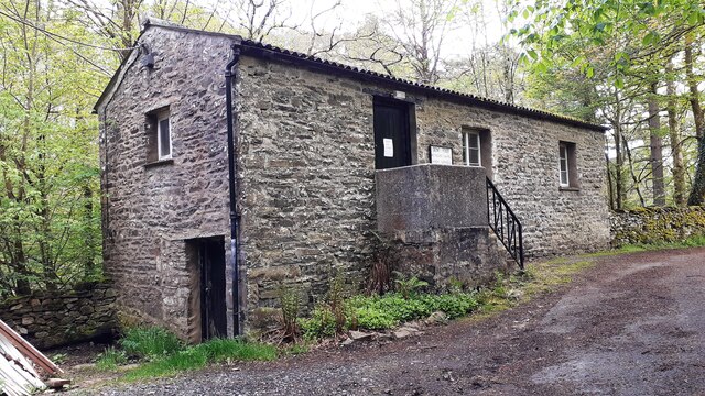
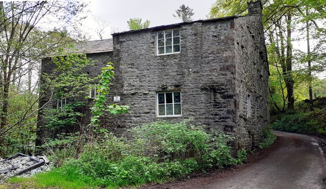
Brackensgill Wood Images
Images are sourced within 2km of 54.29702/-2.5163471 or Grid Reference SD6689. Thanks to Geograph Open Source API. All images are credited.

Brackensgill Wood is located at Grid Ref: SD6689 (Lat: 54.29702, Lng: -2.5163471)
Division: West Riding
Administrative County: Cumbria
District: South Lakeland
Police Authority: Cumbria
What 3 Words
///monopoly.wades.spaceship. Near Sedbergh, Cumbria
Nearby Locations
Related Wikis

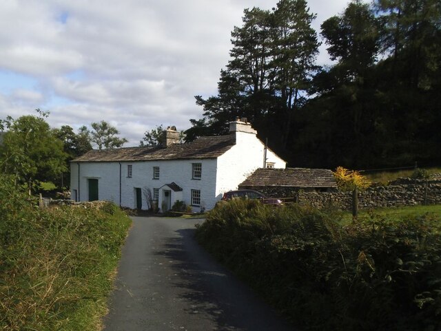
Millthrop
Millthrop is a hamlet in the South Lakeland district of Cumbria, Northern England and the Yorkshire Dales. Millthrop lies on the south bank of the River...

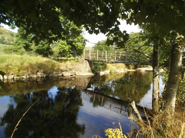
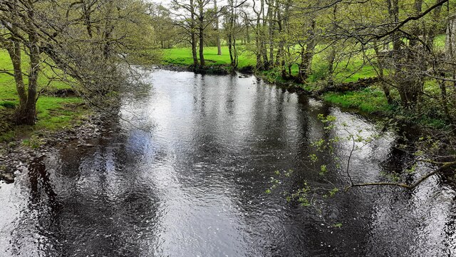
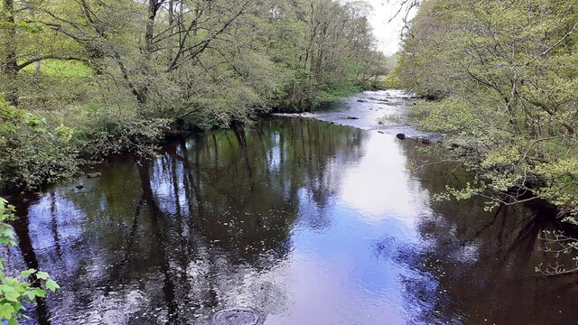
River Dee, Cumbria
The River Dee is a river running through the extreme south east of Cumbria, a part of the Craven region traditionally part of the West Riding of Yorkshire...

Sedbergh School Chapel
Sedbergh School Chapel is located to the southeast of Sedbergh School, Sedbergh, Cumbria, England. It is considered to be of architectural importance...

Sedbergh
Sedbergh ( SED-bər or locally SEB-ər) is a town and civil parish in the ceremonial county of Cumbria. It falls within the historic boundaries of the West...
Nearby Amenities
Located within 500m of 54.29702,-2.5163471Have you been to Brackensgill Wood?
Leave your review of Brackensgill Wood below (or comments, questions and feedback).