Rottenbutts Wood

Wood, Forest in Yorkshire South Lakeland

England

Rottenbutts Wood

Rash Mill and chapel A grade II listed 18th century water-powered corn mill (left) with at right a Methodist chapel. See <a href="https://www.geograph.org.uk/photo/4500266">SD6589 : Rash Bridge</a> for a closer view of the mill.   The chapel was closed, and from the amount of cobweb across the door I expect it had not been opened since the start of the Covid-19 pandemic some 17 months earlier.
Rash Mill and chapel Credit: Stephen Craven

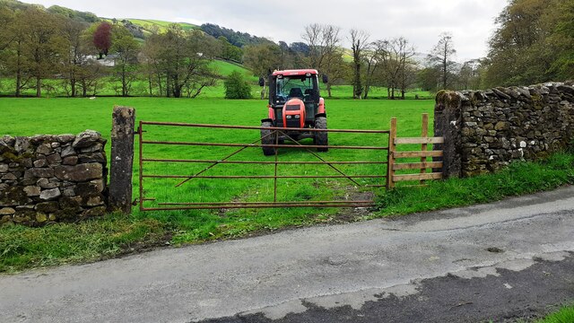
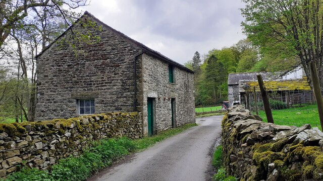
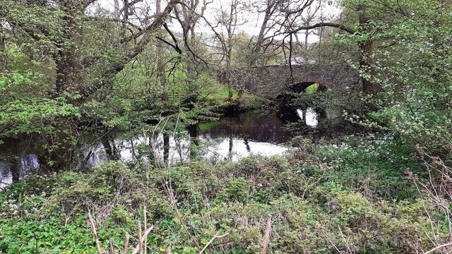
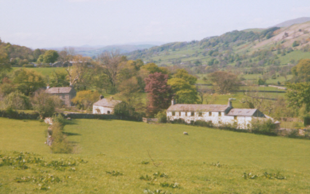
Rottenbutts Wood is a picturesque forest located in the county of Yorkshire, England. Situated in the heart of the countryside, this woodland covers an area of approximately 100 acres and is renowned for its natural beauty and diverse ecosystem.

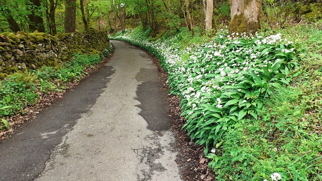
The forest is characterized by its dense canopies of towering oak and beech trees, which provide a haven for a wide range of flora and fauna. The forest floor is covered with a rich carpet of mosses, ferns, and wildflowers, creating a stunning tapestry of colors throughout the seasons.

Rottenbutts Wood is home to a variety of wildlife, including deer, foxes, badgers, and an assortment of bird species. Nature enthusiasts and birdwatchers frequent the area, as it offers a great opportunity to observe and appreciate the local fauna in its natural habitat.

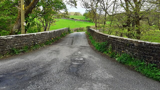
The forest also boasts a network of well-maintained walking trails that wind through its enchanting landscape. These paths provide visitors with the chance to explore the wood at their leisure, offering breathtaking views and an immersive experience in nature.

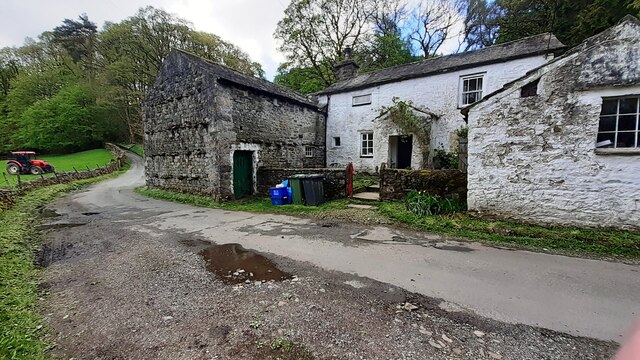
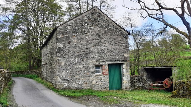
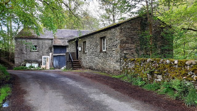
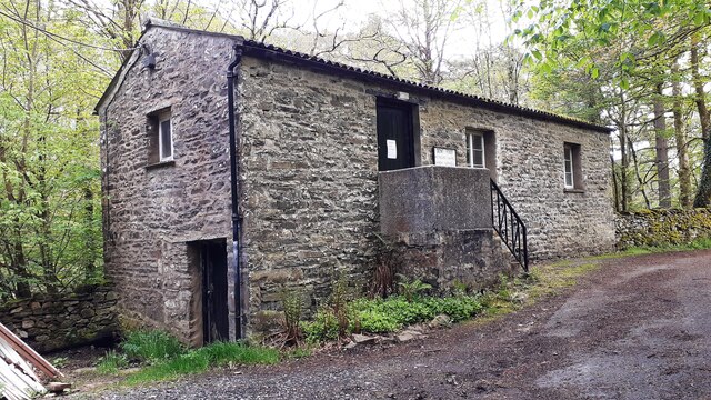
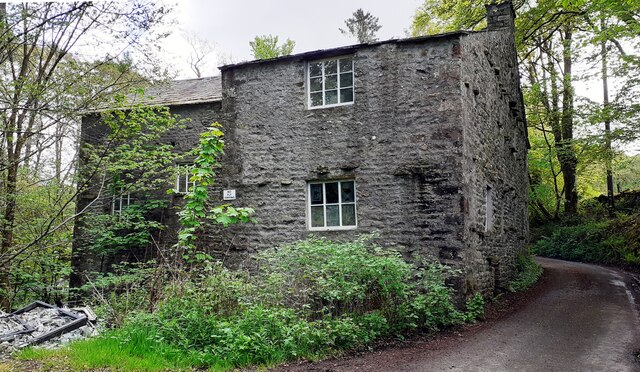
In addition to its natural wonders, Rottenbutts Wood has a rich history. It is believed to have been inhabited since prehistoric times, and evidence of ancient settlements and burial mounds can still be found within its boundaries.

Overall, Rottenbutts Wood is a cherished gem in Yorkshire, offering visitors a chance to escape the hustle and bustle of modern life and immerse themselves in the tranquility of nature.

If you have any feedback on the listing, please let us know in the comments section below.

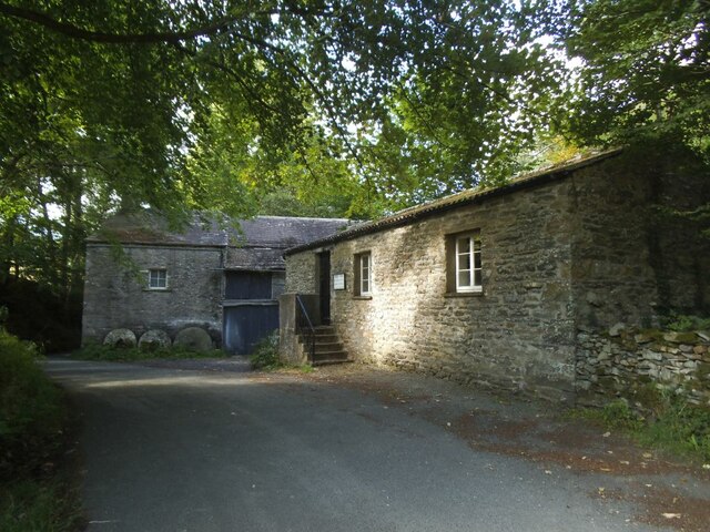
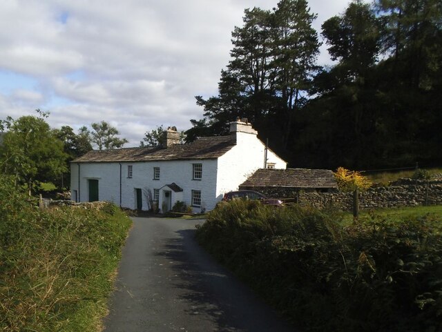
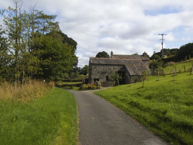
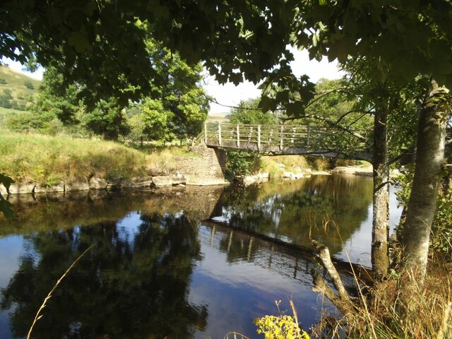
Rottenbutts Wood Images

Images are sourced within 2km of 54.295859/-2.510494 or Grid Reference SD6689. Thanks to Geograph Open Source API. All images are credited.

Rash Mill and chapel A grade II listed 18th century water-powered corn mill (left) with at right a Methodist chapel. See <a href="https://www.geograph.org.uk/photo/4500266">SD6589 : Rash Bridge</a> for a closer view of the mill.   The chapel was closed, and from the amount of cobweb across the door I expect it had not been opened since the start of the Covid-19 pandemic some 17 months earlier.
Rash Mill and chapel
A grade II listed 18th century water-powered corn mill (left) with at right a Methodist chapel. See SD6589 : Rash Bridge for a closer view of the mill. The chapel was closed, and from the amount of cobweb across the door I expect it had not been opened since the start of the Covid-19 pandemic some 17 months earlier.
Brackensgill farm A grade II listed farmhouse with attached barn, "perhaps C17, remodelled and enlarged in C18 and C19" (list entry 1383931).
Brackensgill farm
A grade II listed farmhouse with attached barn, "perhaps C17, remodelled and enlarged in C18 and C19" (list entry 1383931).
Ellers barn A grade II listed barn (list entry 1383860).  The farmhouse beyond <a href="https://www.geograph.org.uk/photo/3629842">SD6788 : The farm at Ellers</a>, not clearly visible in this photo, is also listed (1383859).
Ellers barn
A grade II listed barn (list entry 1383860). The farmhouse beyond SD6788 : The farm at Ellers, not clearly visible in this photo, is also listed (1383859).
Footbridge over the river Dee at Ellers This is the small river Dee in Cumbria, not the better known larger rivers of that name in Cheshire or Aberdeen. The bridge is close to Ellers Farm <a href="https://www.geograph.org.uk/photo/2674190">SD6788 : Ellers, lower Dentdale</a>, so I presume it was intended primarily for their use, but it is on a public footpath.   Quite a long single span (c.15m) for a straight (not arched) wooden footbridge.
Footbridge over the river Dee at Ellers
This is the small river Dee in Cumbria, not the better known larger rivers of that name in Cheshire or Aberdeen. The bridge is close to Ellers Farm SD6788 : Ellers, lower Dentdale, so I presume it was intended primarily for their use, but it is on a public footpath. Quite a long single span (c.15m) for a straight (not arched) wooden footbridge.
Tractor in field at Rash
Rural road SE of Rash entering Scar wood Wild garlic adorns the right hand verge
Rural road SE of Rash entering Scar wood
Wild garlic adorns the right hand verge
Rash Mill Cottage and outbuildings
Farm building SE of Rash Bridge
Farm buildings beside road SE of Rash Bridge
Bridge taking Mill Lane over River Dee
Rash Mill Cottage and outbuildings
Looking southeast along River Dee from Rash Bridge
Looking northwest along River Dee from Rash Bridge
View to Rash Bridge from road on SW side of River Dee
Dent Foot Methodist Chapel and Rash Mill
Dent Foot Methodist Chapel The notice on the door reports 'chapel now closed'
Dent Foot Methodist Chapel
The notice on the door reports 'chapel now closed'
Northwest face of Rash Mill
Wall and gate on Coombe top. Views of the Howgills.
Wall and gate on Coombe top.
Views of the Howgills.
Show me another place!

Rottenbutts Wood is located at Grid Ref: SD6689 (Lat: 54.295859, Lng: -2.510494)

Division: West Riding

Administrative County: Cumbria

District: South Lakeland

Police Authority: Cumbria

What 3 Words

///reminds.civil.notch. Near Sedbergh, Cumbria

Related Wikis

Millthrop

Millthrop is a hamlet in the South Lakeland district of Cumbria, Northern England and the Yorkshire Dales. Millthrop lies on the south bank of the River...
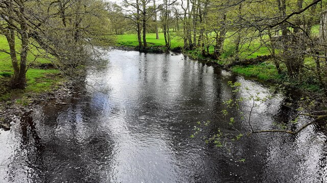
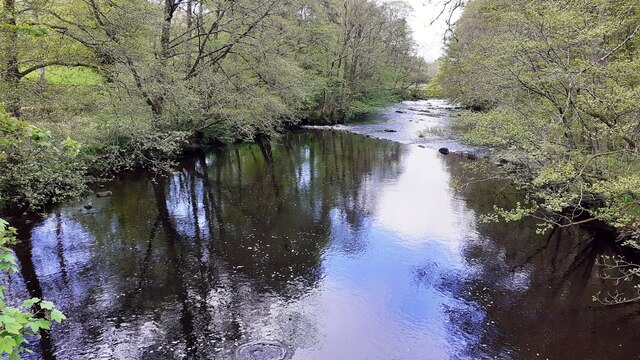
River Dee, Cumbria

The River Dee is a river running through the extreme south east of Cumbria, a part of the Craven region traditionally part of the West Riding of Yorkshire...

Sedbergh School Chapel

Sedbergh School Chapel is located to the southeast of Sedbergh School, Sedbergh, Cumbria, England. It is considered to be of architectural importance...

Gawthrop

Gawthrop is a hamlet in the South Lakeland district, in the county of Cumbria, England. Historically part of the West Riding of Yorkshire, it lies within...

Nearby Amenities

Located within 500m of 54.295859,-2.510494
Natural: spring
Lat/Long: 54.2944352/-2.5111882
Natural: spring
Lat/Long: 54.2945605/-2.5126258
Natural: spring
Lat/Long: 54.2942975/-2.5110165
Brackensgill Wood
Lat/Long: 54.2967375/-2.5165894
Rottenbutts Wood
Lat/Long: 54.2954602/-2.5083496
Ford: yes
Lat/Long: 54.2990367/-2.513211
Hiking: yes
Information: guidepost
Source: GPS survey
Tourism: information
Lat/Long: 54.2982386/-2.5134947
Brackengill
Place: locality
Lat/Long: 54.2981442/-2.513576
Power: pole
Lat/Long: 54.2994234/-2.5148459
Power: pole
Lat/Long: 54.2989607/-2.5140602
Power: pole
Lat/Long: 54.2984812/-2.5132265
The data included in this document is from www.openstreetmap.org. The data is made available under ODbL.

Have you been to Rottenbutts Wood?

Leave your review of Rottenbutts Wood below (or comments, questions and feedback).