Adam Hill
Hill, Mountain in Lancashire
England
Adam Hill
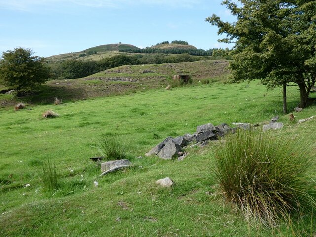
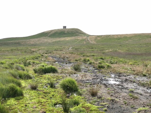
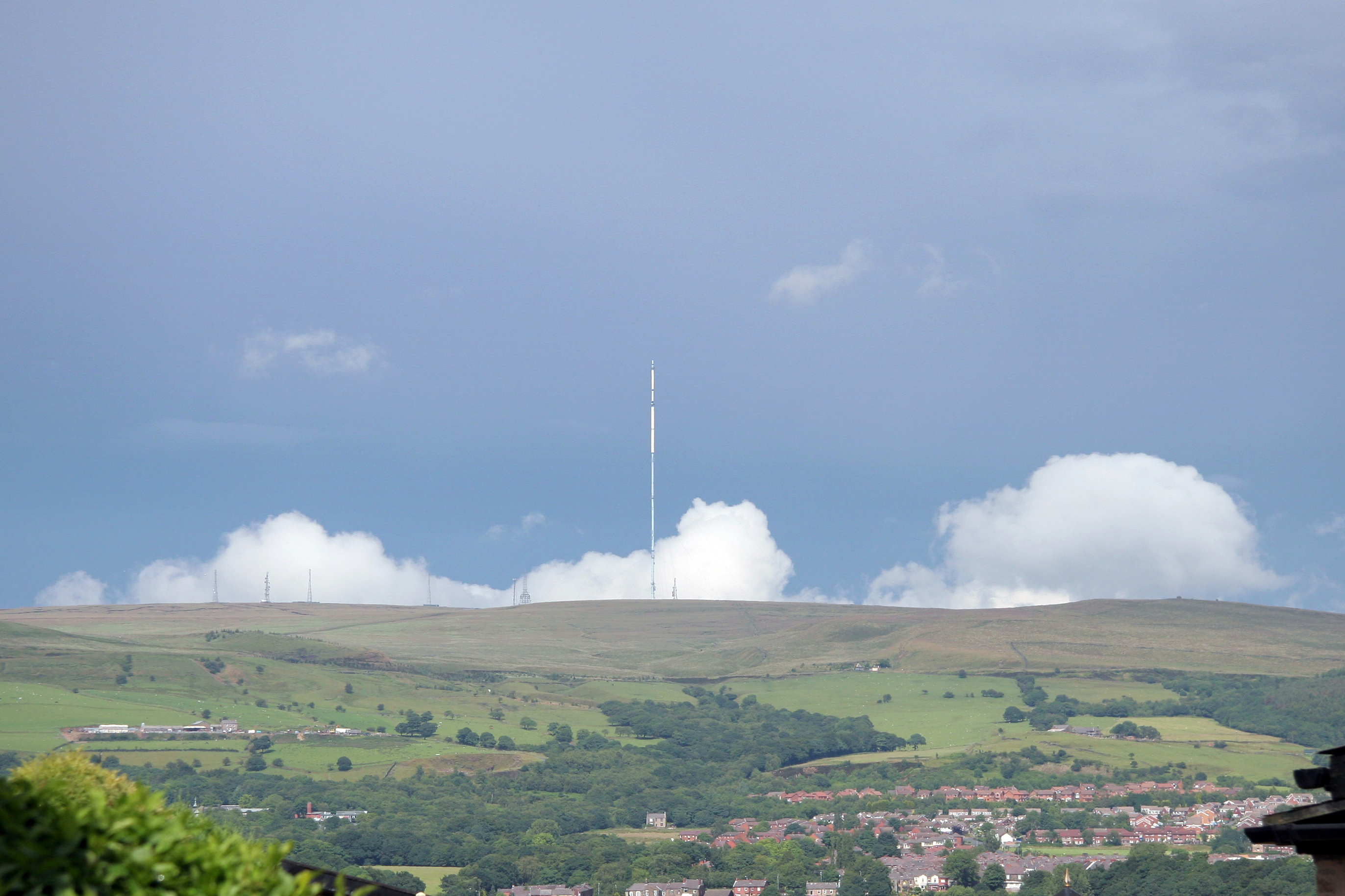
Adam Hill is a prominent geographical feature located in the county of Lancashire, England. Situated within the picturesque Forest of Bowland, it is known for its stunning natural beauty and diverse wildlife. Rising to an elevation of approximately 245 meters (804 feet), Adam Hill is classified as a hill rather than a mountain due to its relatively modest height.
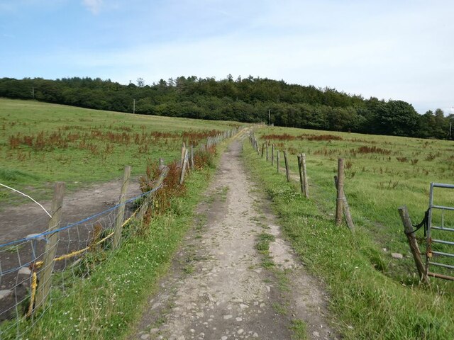
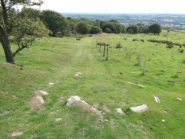
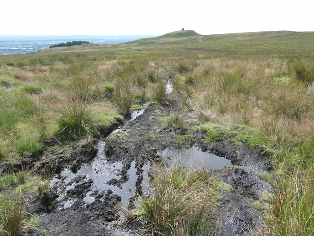
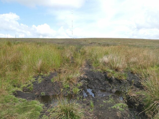
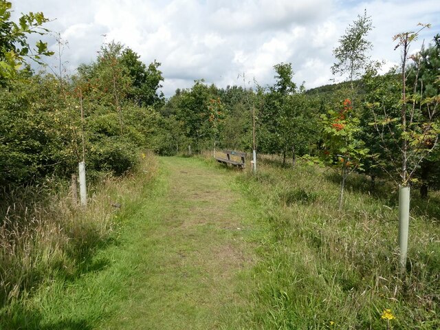
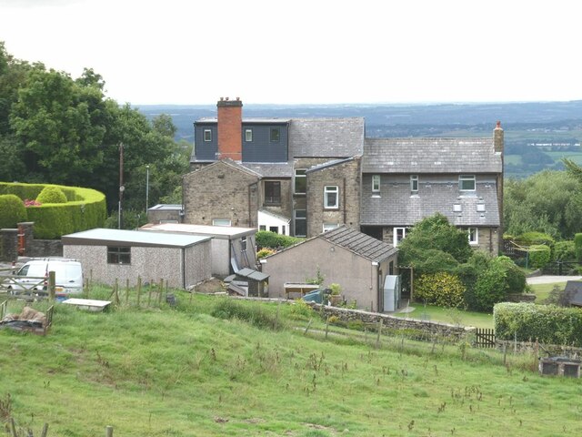
The hill is surrounded by lush greenery, characterised by dense woodlands, rolling meadows, and scenic farmland. It offers breathtaking panoramic views of the surrounding countryside, making it a popular destination for outdoor enthusiasts and nature lovers. Hikers and walkers are especially drawn to Adam Hill, as it provides a challenging yet rewarding climb to its summit.
The area surrounding Adam Hill is rich in wildlife, with a variety of species calling it home. Visitors may spot red deer, roe deer, and numerous bird species, including peregrine falcons and buzzards, as they explore the hillsides. The hill is also home to diverse flora, including heather, bracken, and several rare plant species.
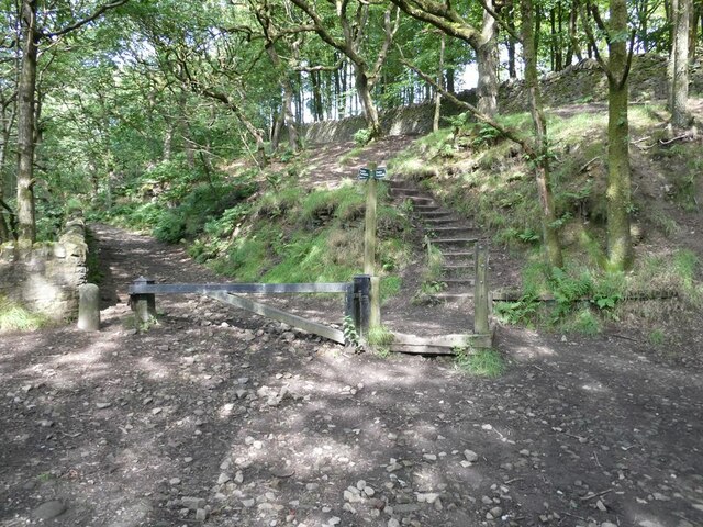
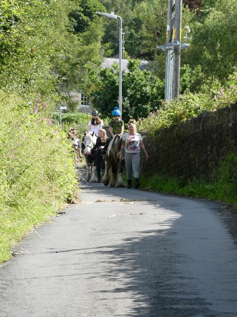
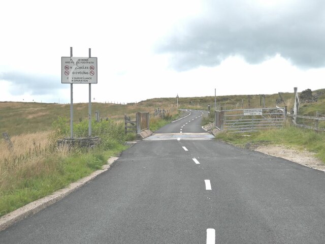
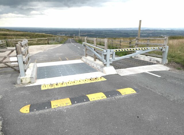
Adam Hill is easily accessible, with several footpaths and trails leading to its summit. The nearby village of Slaidburn is a popular starting point for those embarking on a hike up the hill. Additionally, the hill is within reasonable distance of larger towns and cities, making it a convenient day trip destination.
Overall, Adam Hill, Lancashire is a natural gem, offering a unique blend of natural beauty, wildlife, and outdoor recreational opportunities. Whether one seeks a challenging hike or simply a peaceful escape in nature, the hill serves as an idyllic destination.
If you have any feedback on the listing, please let us know in the comments section below.
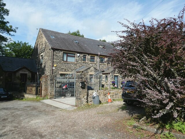
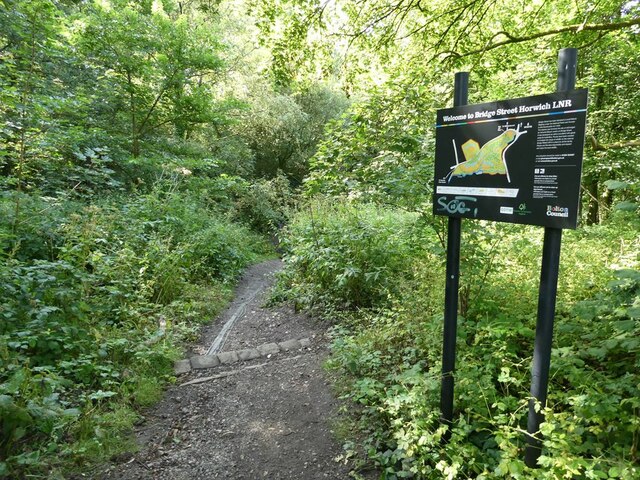
Adam Hill Images
Images are sourced within 2km of 53.60941/-2.5154592 or Grid Reference SD6512. Thanks to Geograph Open Source API. All images are credited.
Adam Hill is located at Grid Ref: SD6512 (Lat: 53.60941, Lng: -2.5154592)
Unitary Authority: Bolton
Police Authority: Greater Manchester
What 3 Words
///padding.racetrack.discussed. Near Horwich, Manchester
Nearby Locations
Related Wikis

Wallsuches
Wallsuches is a small district of Horwich, Greater Manchester, England. == Etymology == The etymology of the place-name itself is unclear, although it...
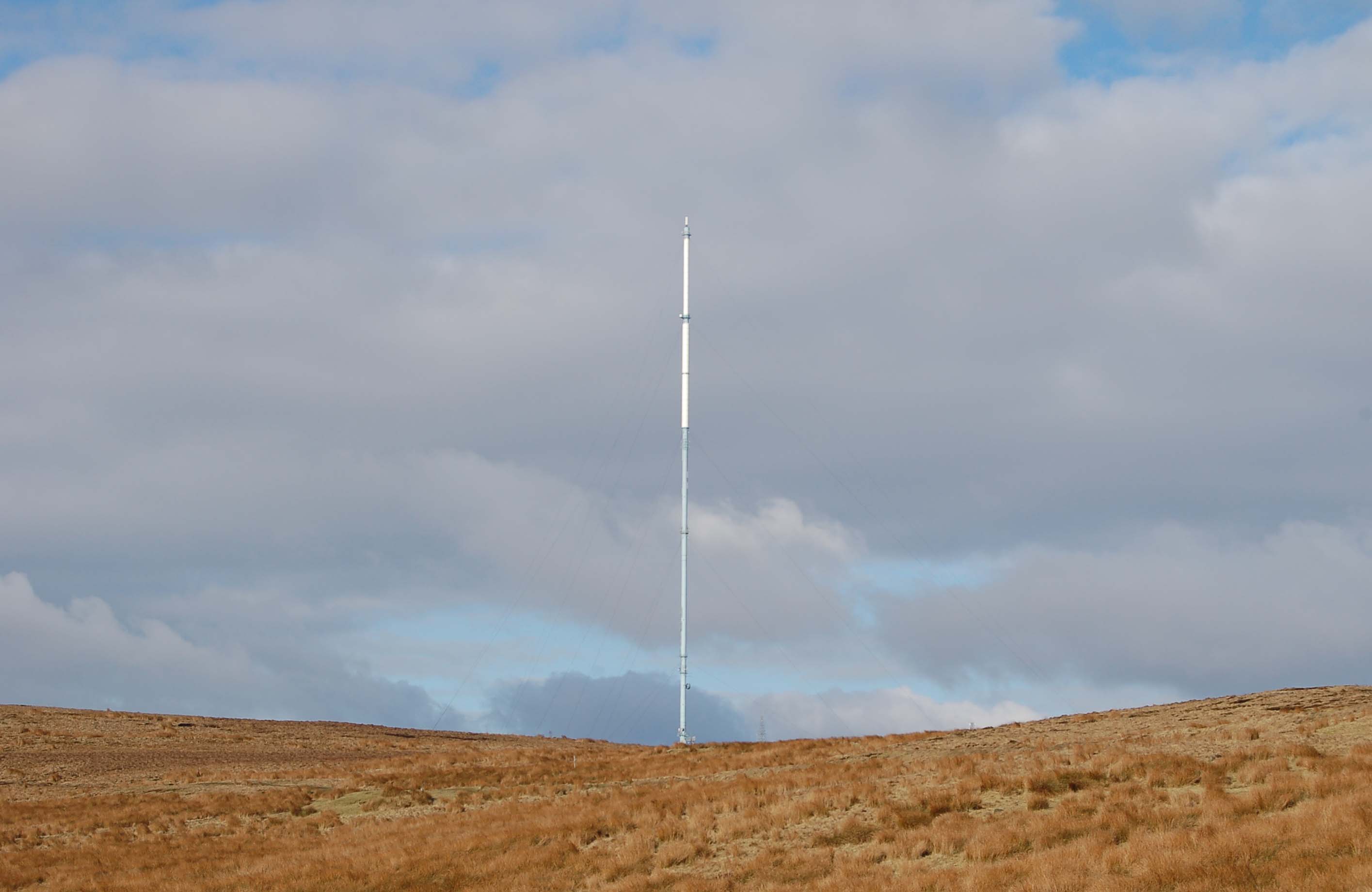
Winter Hill transmitting station
The Winter Hill transmitting station is a broadcasting and telecommunications site on Winter Hill, at the southern boundary of the Borough of Chorley,...

Holy Trinity Church, Horwich
Holy Trinity Church, commonly known as Horwich Parish Church, is a Grade II listed building in Horwich, Greater Manchester, England. It is an active Church...

Dean Mills Reservoir
Dean Mills Reservoir is a small water reservoir to the north of the town of Bolton, Greater Manchester located high on the slopes of Winter Hill. The reservoir...
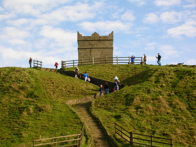
Rivington Pike
Rivington Pike is a hill on Winter Hill, part of the West Pennine Moors at Rivington, Chorley in Lancashire, England. The nearest towns are Adlington and...

Winter Hill air disaster
The Winter Hill air disaster occurred on 27 February 1958, when the Silver City Airways Bristol 170 Freighter G-AICS, operated by Manx Airlines on a charter...

Rivington and Blackrod High School
Rivington and Blackrod High School in the North West region of England is a Leverhulme Trust multi-academy school alongside Harper Green School, it operates...
Winter Hill (North West England)
Winter Hill is a hill on which the three boroughs of Chorley, Blackburn with Darwen and Bolton meet in North West England. It is located on Rivington Moor...
Nearby Amenities
Located within 500m of 53.60941,-2.5154592Have you been to Adam Hill?
Leave your review of Adam Hill below (or comments, questions and feedback).