Ivory Hill
Hill, Mountain in Gloucestershire
England
Ivory Hill

Ivory Hill is a prominent natural landmark located in the county of Gloucestershire, England. Situated in the heart of the Cotswold Hills, it is a formidable hill that stands at an elevation of approximately 315 meters (1,033 feet) above sea level. The name "Ivory Hill" is derived from the Old English term "ifig," meaning yew tree, indicating that the area was once populated by an abundance of yew trees.
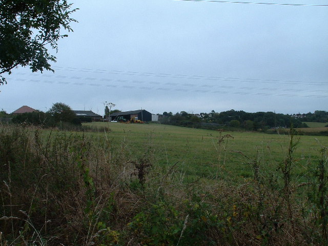
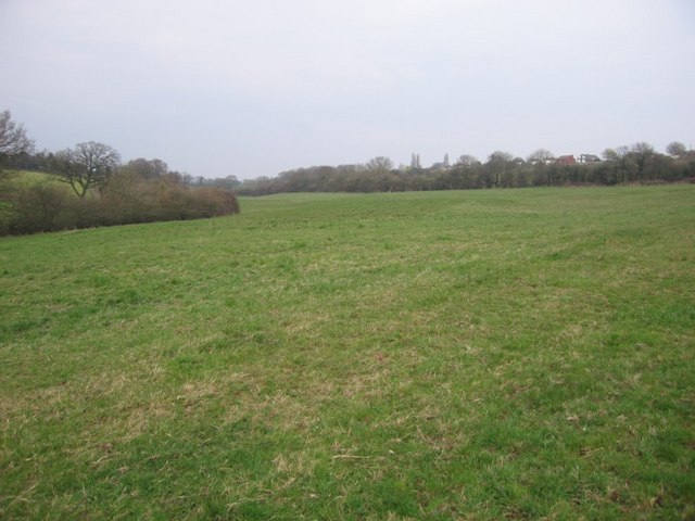
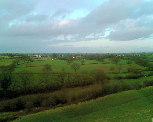
This picturesque hill offers breathtaking panoramic views of the surrounding countryside, making it a popular destination for hikers, nature enthusiasts, and photographers. The hill is covered in lush greenery, with a diverse range of flora and fauna that thrive in its fertile soil.
Ivory Hill is part of the Cotswold Way, a long-distance trail that stretches for 102 miles through the Cotswold Area of Outstanding Natural Beauty. The hill provides a challenging yet rewarding hiking experience, with its steep slopes and rugged terrain. At the summit, visitors are greeted with stunning vistas of rolling hills, meandering streams, and charming villages that dot the landscape.
Due to its location within the Cotswold Hills, Ivory Hill is rich in history and heritage. The area is dotted with archaeological sites, including ancient burial mounds and Roman settlements. These remnants of the past offer valuable insights into the region's early inhabitants and their way of life.
In conclusion, Ivory Hill in Gloucestershire is a captivating natural wonder that offers a glimpse into the beauty and history of the Cotswold Hills. Its stunning vistas, challenging trails, and historical significance make it a must-visit destination for those exploring the region.
If you have any feedback on the listing, please let us know in the comments section below.
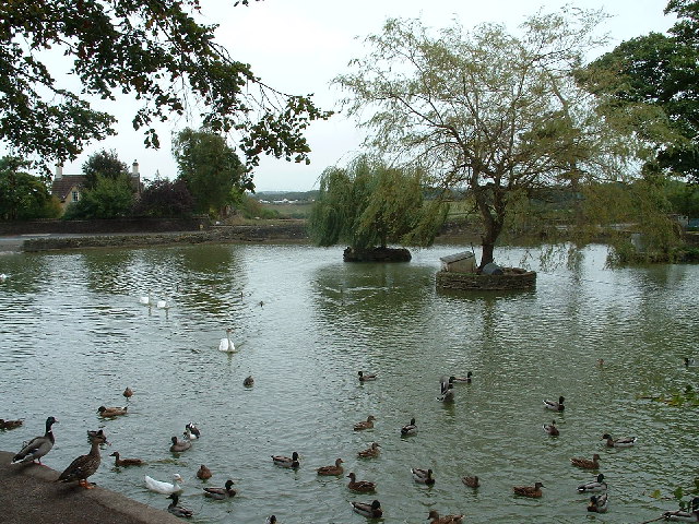
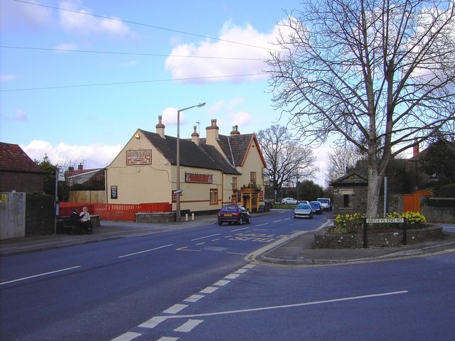
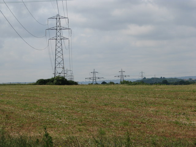
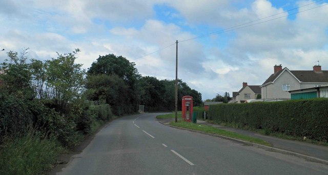
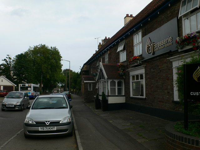
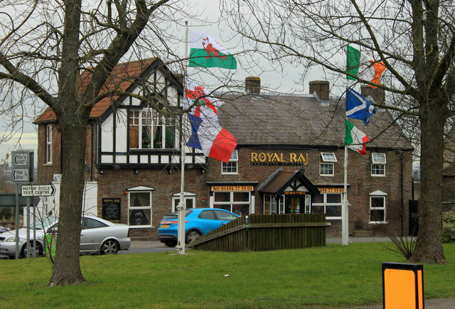
Ivory Hill Images
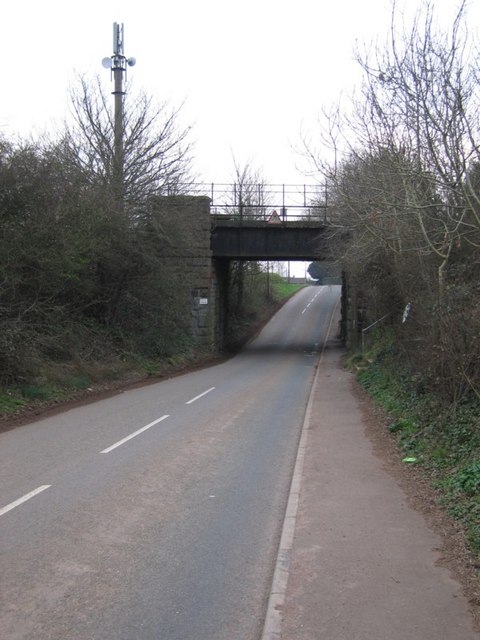
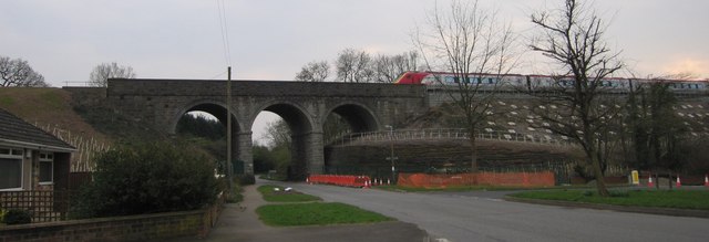
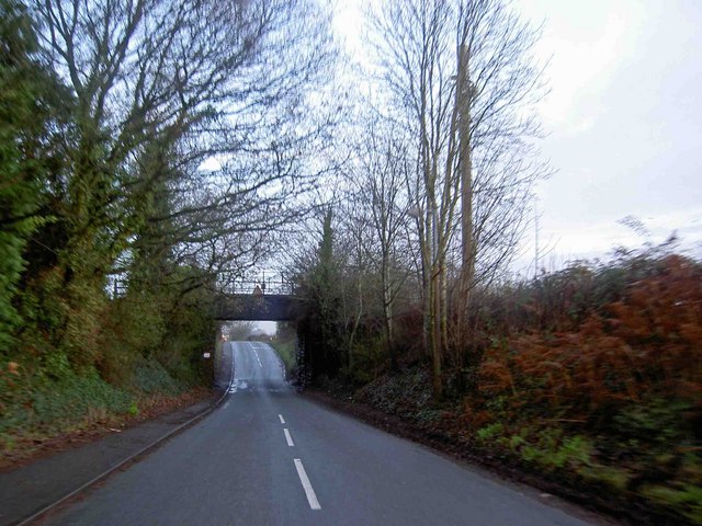
Images are sourced within 2km of 51.51585/-2.4910418 or Grid Reference ST6679. Thanks to Geograph Open Source API. All images are credited.


Ivory Hill is located at Grid Ref: ST6679 (Lat: 51.51585, Lng: -2.4910418)
Unitary Authority: South Gloucestershire
Police Authority: Avon and Somerset
What 3 Words
///cries.stability.degree. Near Winterbourne, Gloucestershire
Nearby Locations
Related Wikis
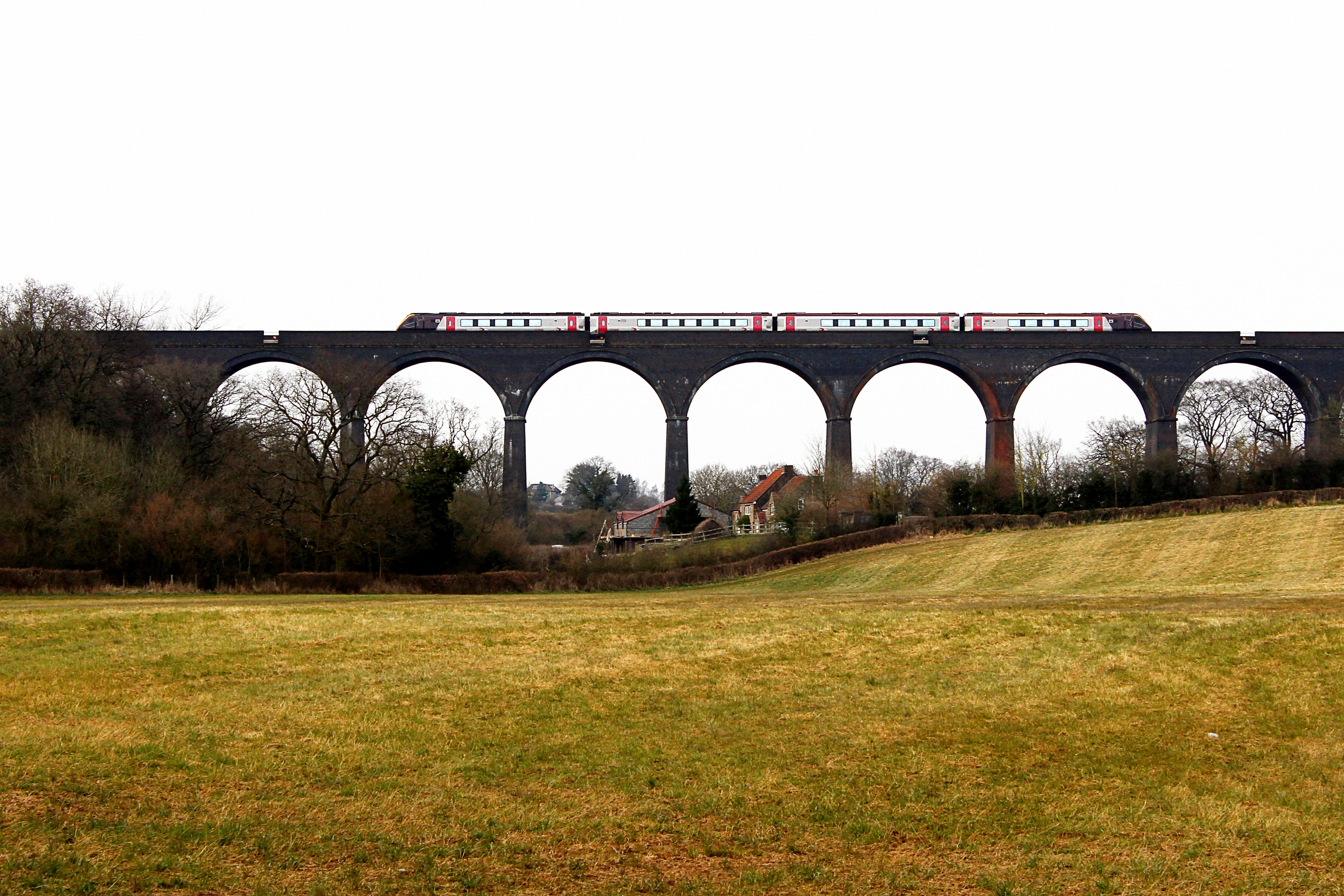
Huckford Viaduct
The Huckford Viaduct spans the River Frome just north of Winterbourne Down in South Gloucestershire, England. It presently forms part of the Badminton...

Kendleshire
Kendleshire is a small scattered settlement in South Gloucestershire, England, between Winterbourne Down and Henfield. Kendleshire hamlet includes about...

Winterbourne railway station
Winterbourne railway station served the South Gloucestershire village of Winterbourne, England, from 1903 to 1963. == Future == Improved services on the...

Winterbourne Railway Cutting
Winterbourne Railway Cutting (grid reference ST651799) is a 1.99 hectare geological Site of Special Scientific Interest near the village of Winterbourne...
Nearby Amenities
Located within 500m of 51.51585,-2.4910418Have you been to Ivory Hill?
Leave your review of Ivory Hill below (or comments, questions and feedback).