Broad Lea
Hill, Mountain in Westmorland Eden
England
Broad Lea
Broad Lea is a prominent hill/mountain located in the picturesque region of Westmorland, in the county of Cumbria, England. Rising to an elevation of approximately 500 meters (1,640 feet), it offers spectacular panoramic views of the surrounding landscape.
Situated within the Lake District National Park, Broad Lea boasts a diverse and rich natural environment. The hill/mountain is characterized by its rolling slopes, lush green meadows, and scattered patches of dense woodland. Its summit is adorned with rocky outcrops, providing a challenging terrain for avid hikers and climbers.
The hill/mountain is a popular destination for outdoor enthusiasts and nature lovers, offering a range of recreational activities. Hiking and walking trails crisscross the area, allowing visitors to explore the stunning vistas and immerse themselves in the tranquility of the surroundings. The more adventurous can engage in rock climbing or bouldering, making use of the various challenging routes available.
Broad Lea is also home to a diverse array of wildlife. The hill/mountain provides a habitat for numerous bird species, including buzzards, peregrine falcons, and kestrels. Additionally, it is not uncommon to spot red deer, badgers, and foxes roaming the slopes.
Access to Broad Lea is relatively easy, with nearby parking facilities and well-maintained footpaths. Its close proximity to the charming villages of Westmorland further adds to its appeal, with visitors being able to enjoy the local hospitality and amenities.
In summary, Broad Lea in Westmorland is a captivating hill/mountain that offers breathtaking views, a diverse natural environment, and a range of outdoor activities. A visit to this scenic location promises an unforgettable experience for nature enthusiasts and adventure seekers alike.
If you have any feedback on the listing, please let us know in the comments section below.
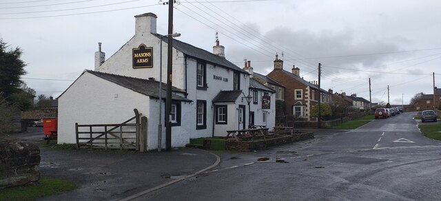
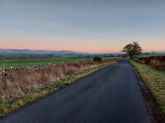
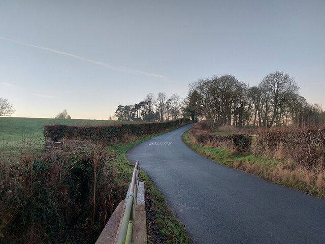
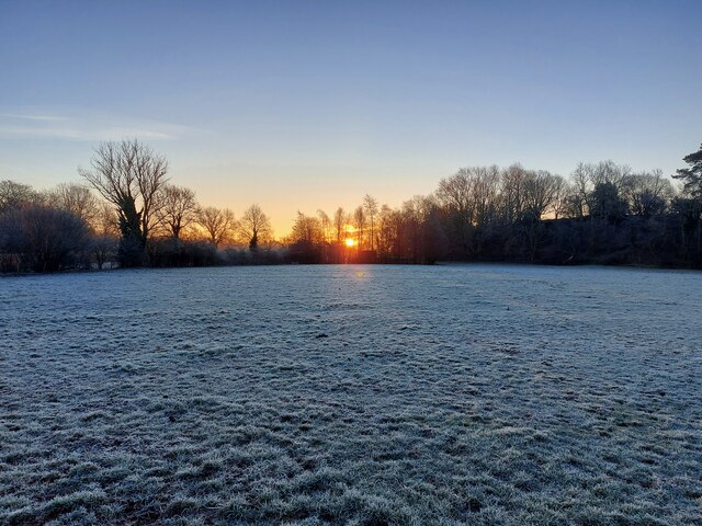
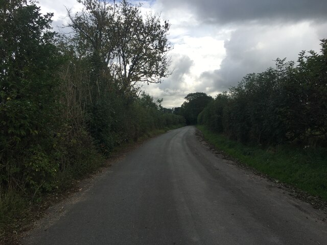
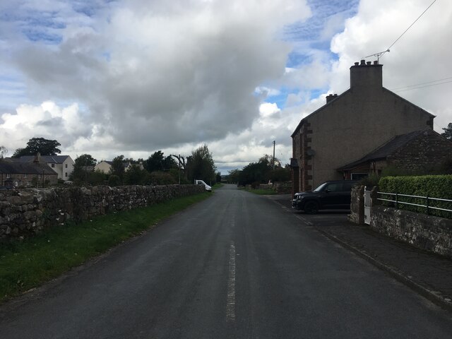
Broad Lea Images
Images are sourced within 2km of 54.604967/-2.5279789 or Grid Reference NY6523. Thanks to Geograph Open Source API. All images are credited.


Broad Lea is located at Grid Ref: NY6523 (Lat: 54.604967, Lng: -2.5279789)
Administrative County: Cumbria
District: Eden
Police Authority: Cumbria
What 3 Words
///haystack.scrum.nursery. Near Appleby-in-Westmorland, Cumbria
Nearby Locations
Related Wikis

Broom, Cumbria
Broom is a hamlet near the village of Long Marton, in the Eden district, in the county of Cumbria, England. == Location == It is located about two miles...
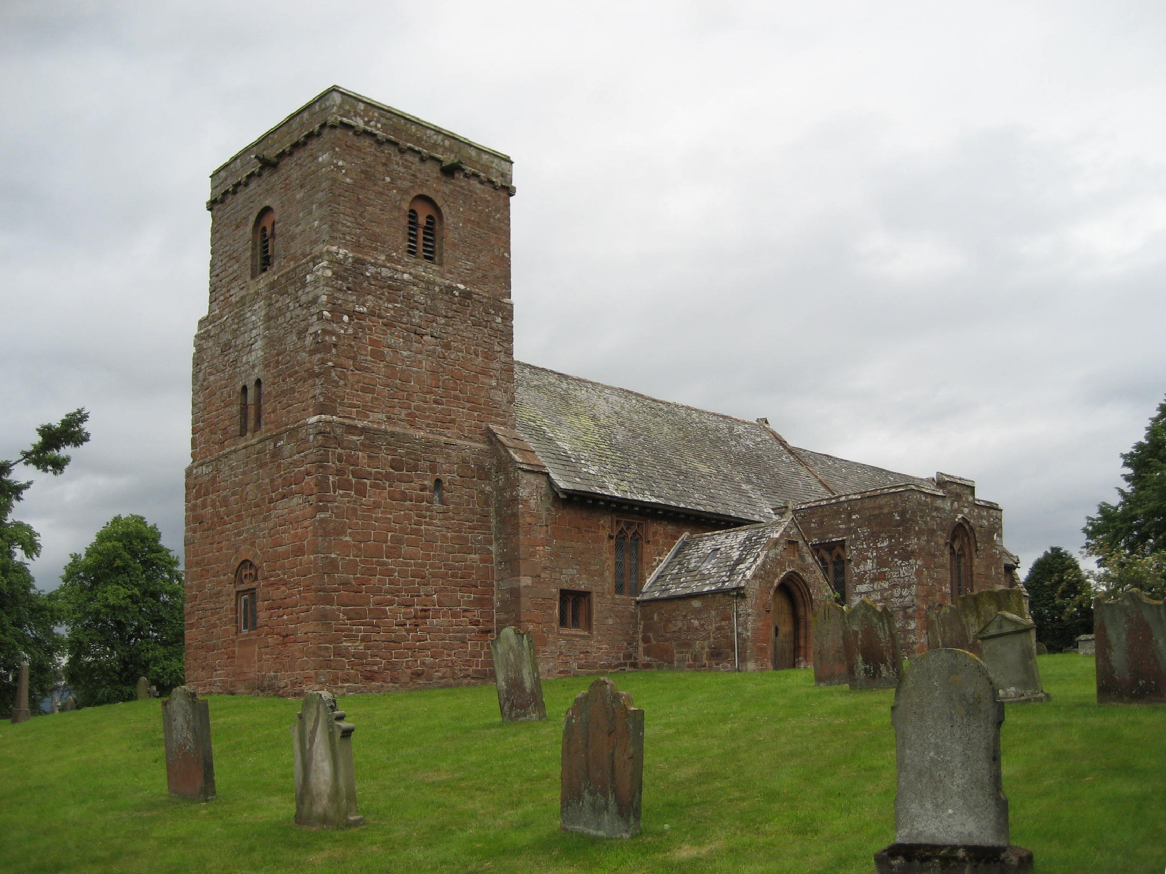
St Margaret and St James' Church, Long Marton
St Margaret and St James' Church is located about 0.5 miles (0.8 km) to the south of the village of Long Marton, Cumbria, England. It is an active Anglican...

Long Marton
Long Marton is a village and civil parish in the Eden District of the English county of Cumbria. In 2011 the population was 827. The village previously...

Long Marton railway station
Long Marton railway station was a railway station which served the village of Long Marton in Cumbria, England. Situated on the Settle-Carlisle Line, it...

Brampton, Eden
Brampton is a village in the Eden district, in the county of Cumbria, England. Before 1974 it was in the county of Westmorland; the nearest town is Appleby...

North Westmorland Rural District
North Westmorland was a rural district in Westmorland, England from 1935 to 1974. It now forms part of the Eden district of Cumbria. It was formed in...

All Saints Church, Bolton
All Saints Church is in the village of Bolton, Cumbria, England. It is an active Anglican parish church in the deanery of Appleby, the archdeaconry of...
Bolton, Cumbria
Bolton is a village and civil parish in the Eden District of Cumbria, England, about 4 miles (6 km) north west of Appleby-in-Westmorland, and on the River...
Nearby Amenities
Located within 500m of 54.604967,-2.5279789Have you been to Broad Lea?
Leave your review of Broad Lea below (or comments, questions and feedback).