Southern Hill
Hill, Mountain in Somerset South Somerset
England
Southern Hill
Southern Hill, Somerset, is a prominent hill located in the county of Somerset in England. Rising to an elevation of approximately 297 meters (974 feet), it is a notable landmark in the region. The hill is situated to the south of the village of Somerset, near the border with Devon.
Southern Hill is characterized by its gently sloping sides, covered in lush green vegetation, which make it a picturesque sight to behold. The hill is predominantly composed of limestone, a common geological feature in the area. This geological composition has contributed to the development of numerous natural caves and underground passages within the hill, attracting explorers and speleologists.
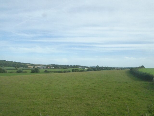
The summit of Southern Hill offers panoramic views of the surrounding countryside, with rolling hills, meandering rivers, and picturesque villages dotting the landscape. On clear days, it is possible to see as far as the Bristol Channel and the distant hills of Wales.
The hill is also home to a diverse range of flora and fauna, including various species of wildflowers, birds, and small mammals. It is designated as a Site of Special Scientific Interest (SSSI), highlighting its ecological significance.
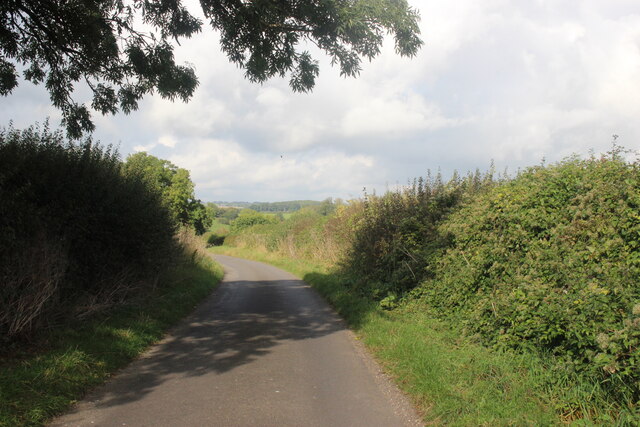
Southern Hill is a popular destination for outdoor enthusiasts, offering opportunities for hiking, nature walks, and birdwatching. Several footpaths and trails traverse the hill, providing access to its scenic beauty and allowing visitors to experience the tranquility of the Somerset countryside.
Overall, Southern Hill, Somerset, is a captivating natural landmark, offering stunning views, diverse wildlife, and recreational opportunities for visitors and locals alike.
If you have any feedback on the listing, please let us know in the comments section below.
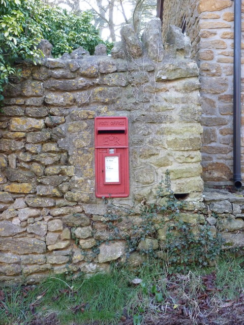
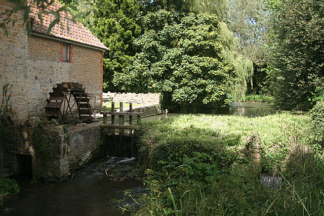
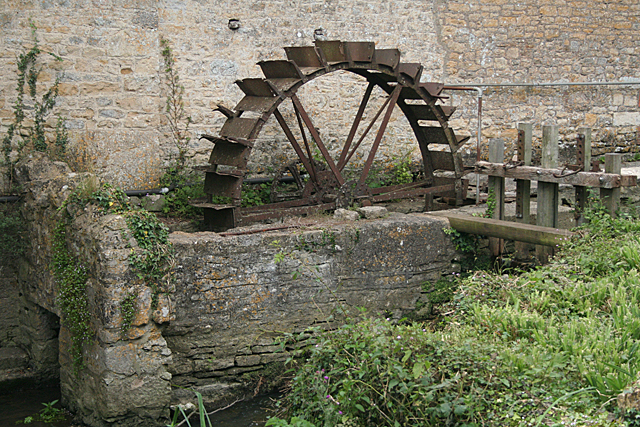
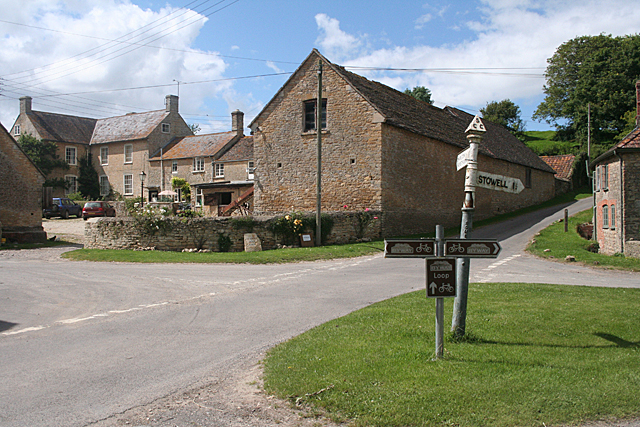
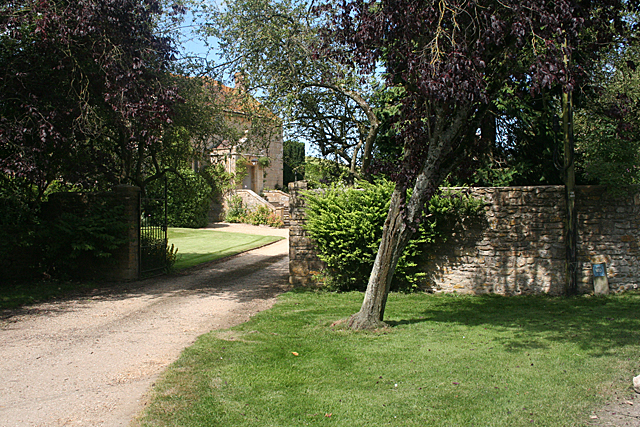
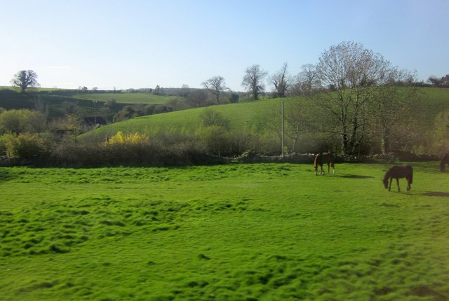
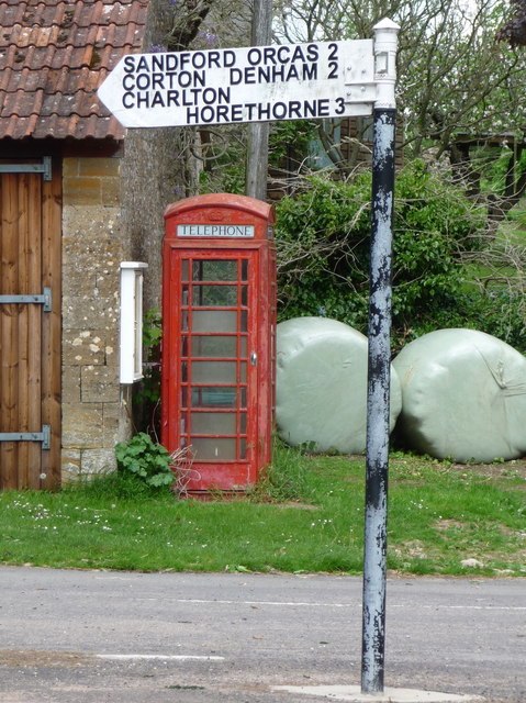
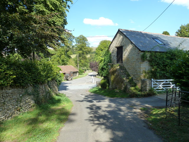
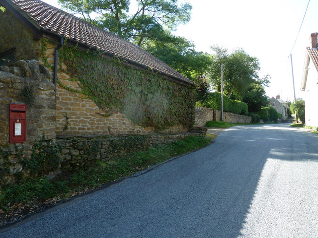
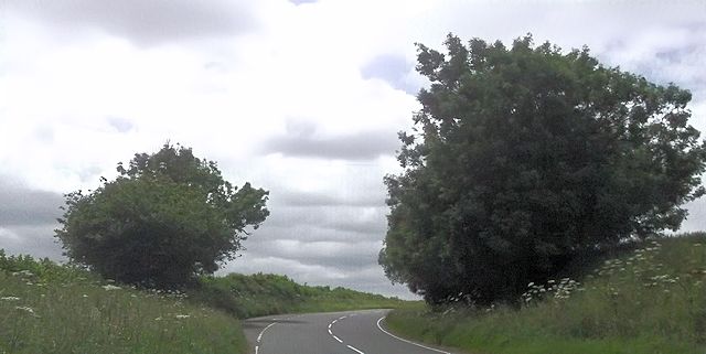
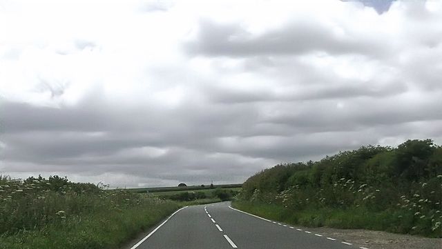
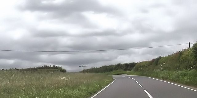
Southern Hill Images
Images are sourced within 2km of 50.975674/-2.4876416 or Grid Reference ST6519. Thanks to Geograph Open Source API. All images are credited.


Southern Hill is located at Grid Ref: ST6519 (Lat: 50.975674, Lng: -2.4876416)
Administrative County: Somerset
District: South Somerset
Police Authority: Avon and Somerset
What 3 Words
///skillet.catch.snappy. Near Milborne Port, Somerset
Nearby Locations
Related Wikis

Poyntington
Poyntington is a village and civil parish in the county of Dorset in South West England. It lies on the edge of the Blackmore Vale about 2 miles (3.2 km...

Miller's Hill, Milborne Wick
Miller's Hill, Milborne Wick (grid reference ST66312057) is a 0.6-hectare (1.5-acre) geological Site of Special Scientific Interest at Milborne Wick in...

Oborne
Oborne is a village and civil parish in north west Dorset, England, situated just north of the A30 road approximately 1 mile (1.6 km) northeast of Sherborne...
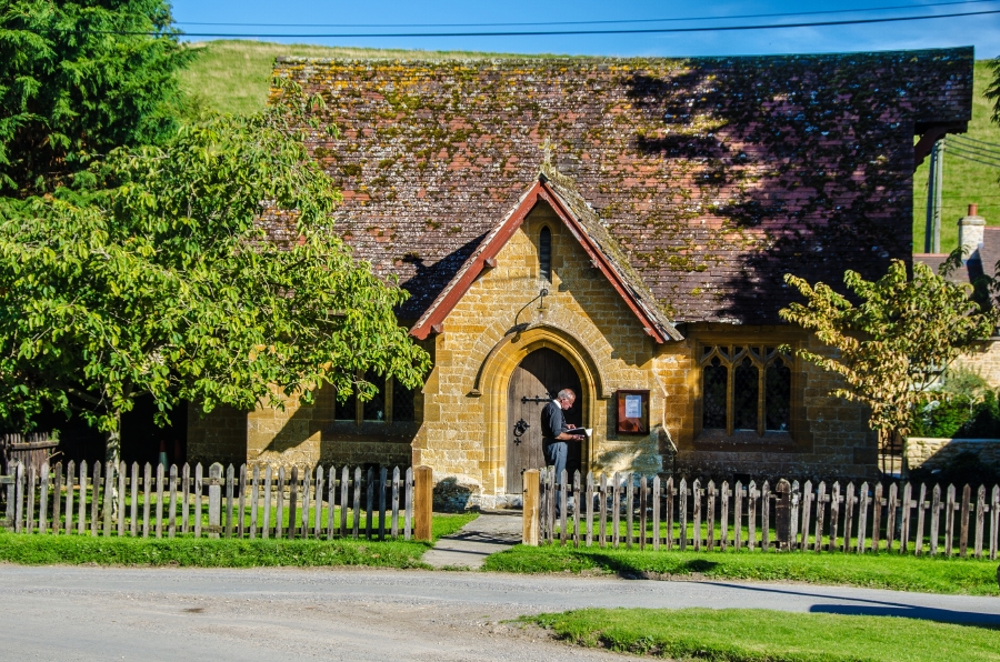
Milborne Wick Mission Church
Milborne Wick Mission Church is a Church of England church in Milborne Wick, Somerset, England. The church was built in 1891 and is a Grade II listed building...
Frogden Quarry
Frogden Quarry (grid reference ST649183) is a 0.2 hectare geological Site of Special Scientific Interest in Dorset, England, notified in 1954, by geologist...

Old St Cuthbert's Church, Oborne
The Old St Cuthbert's Church in Oborne, Dorset, England was built in 1533. It is recorded in the National Heritage List for England as a designated Grade...

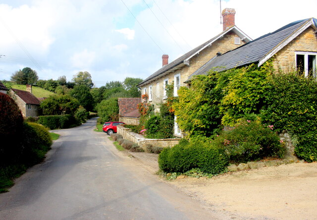
Milborne Port
Milborne Port is a village, electoral ward and civil parish in Somerset, England, east of Sherborne, and in the South Somerset district. It has a population...
Church of St John the Evangelist, Milborne Port
The Church of St John the Evangelist in Milborne Port, Somerset, England is a cruciform church of late Anglo-Saxon date and parts may well span the Norman...
Related Videos


Sherborne Castle Fireworks 2018
Footage of the last 10 minutes (approx) of the 2018 fireworks display at Sherborne Castle.
Time Passing (Original Piece)
Another sample of a introduction which i have written :) Just a simplistic one-shot. Hope you like it.

Have you been to Southern Hill?
Leave your review of Southern Hill below (or comments, questions and feedback).