Gallow Hill
Hill, Mountain in Kincardineshire
Scotland
Gallow Hill
Gallow Hill is a prominent hill located in Kincardineshire, Scotland. It is situated near the town of Stonehaven, approximately 15 miles south of Aberdeen. This hill, with an elevation of around 100 meters, is a well-known landmark in the area.
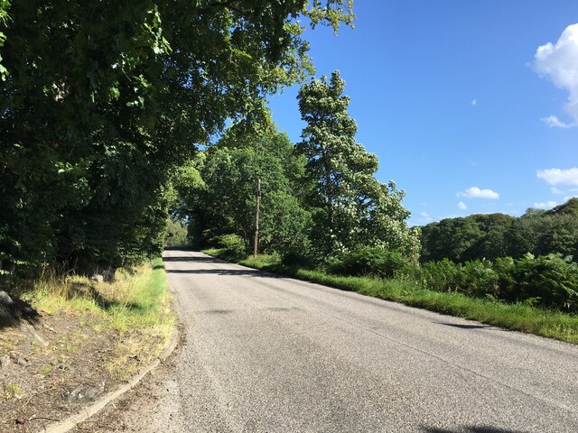
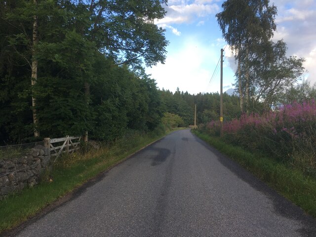
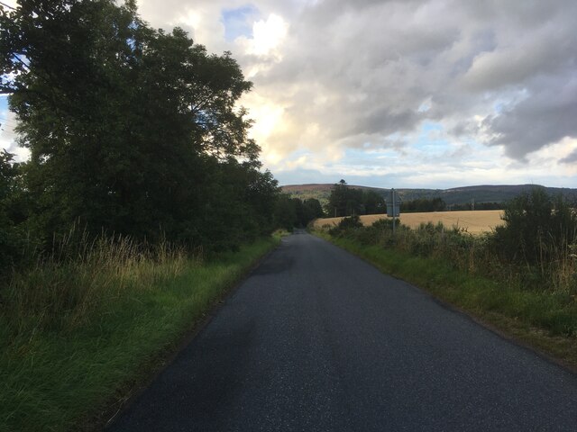
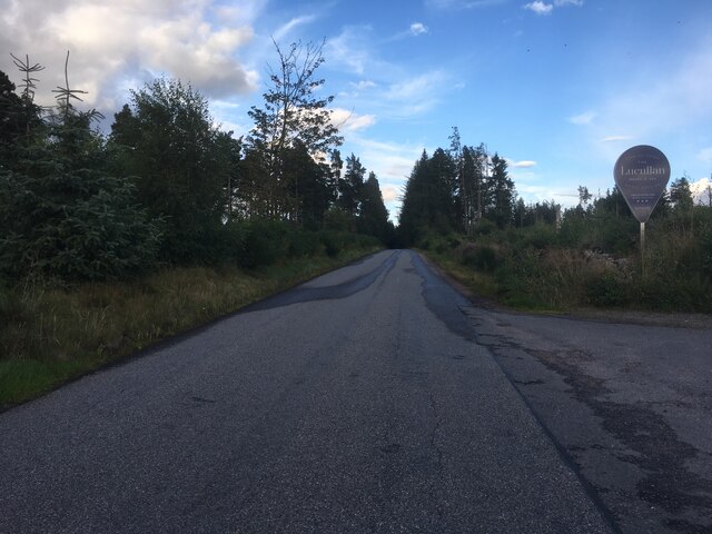
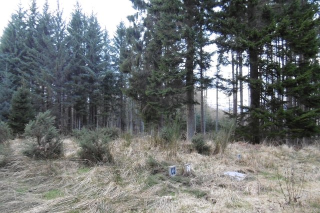
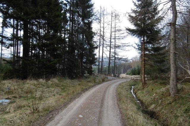
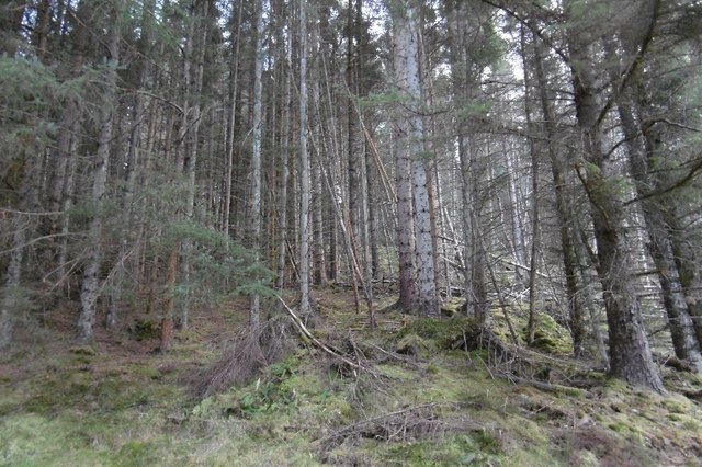
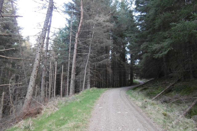
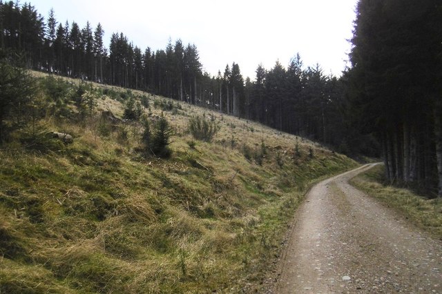
Gallow Hill is a prominent feature in the landscape, offering stunning views of the surrounding countryside and the North Sea. The hill is covered in heather and grass, and it is a popular spot for walkers, hikers, and nature enthusiasts. Its accessible location and relatively easy ascent make it a favored destination for people of all ages and fitness levels.
The hill is historically significant, as it was once the site of public executions during the medieval period. The name "Gallow Hill" originates from the gallows that were once erected on its summit. These gallows were used for hanging criminals as a form of punishment.
Today, Gallow Hill serves as a reminder of the region's history and attracts visitors interested in exploring its historical significance. The hill is easily accessible by foot or by car, with a car park located nearby. There are also several well-maintained walking trails that lead to the summit, allowing visitors to enjoy the panoramic views and experience the rich history of the area.
Overall, Gallow Hill is a picturesque and historically significant landmark that offers a pleasant outdoor experience for nature lovers and history enthusiasts alike.
If you have any feedback on the listing, please let us know in the comments section below.
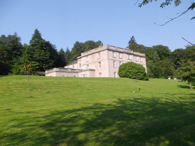
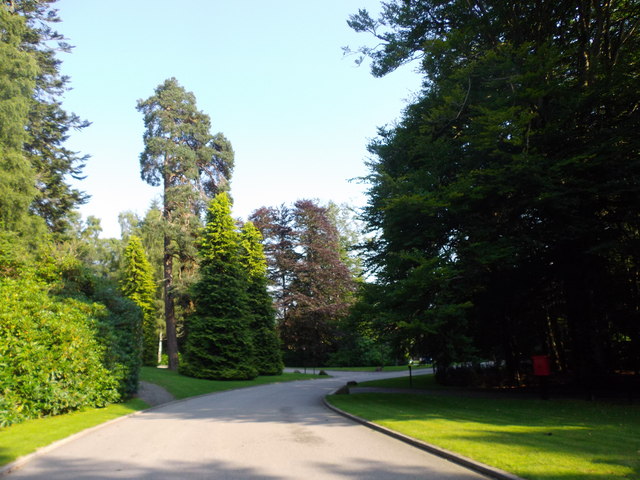
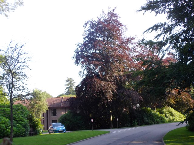
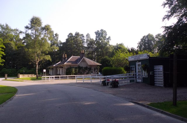
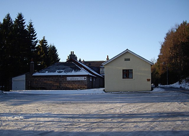
Gallow Hill Images
Images are sourced within 2km of 57.060975/-2.5644681 or Grid Reference NO6596. Thanks to Geograph Open Source API. All images are credited.

Gallow Hill is located at Grid Ref: NO6596 (Lat: 57.060975, Lng: -2.5644681)
Unitary Authority: Aberdeenshire
Police Authority: North East
What 3 Words
///outgrown.evolves.inherit. Near Banchory, Aberdeenshire
Nearby Locations
Related Wikis

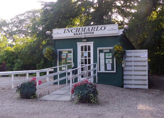
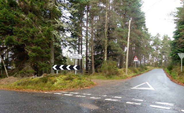
Brathens
Brathens is a village in Aberdeenshire, Scotland. == References ==

Glassel railway station
Glassel railway station is a disused railway station in Britain. It served Glassel House, the Mill of Beltie and the local farms and the inhabitants of...

Beltie Burn
The Beltie Burn is a burn in Aberdeenshire, Scotland, which below Torphins and Glassel is known as the Burn of Canny. It begins in the hill of Benaquhallie...

Glen o' Dee Hospital
Glen o' Dee Hospital is situated in the west end of Banchory, Aberdeenshire, Scotland. It is a small community hospital that provides services for the...

Scolty Hill
Scolty Hill is a small hill south of the Deeside town, Banchory. Its best known feature is the 20m tall tower monument, built in 1840 as a memorial to...
Kinneskie Road drill hall, Banchory
The Kinneskie Road drill hall is a former military installation near Banchory, Scotland. == History == The building was designed as the headquarters of...

Banchory Town Hall
Banchory Town Hall is a municipal structure in the High Street, Banchory, Aberdeenshire, Scotland. The structure is primarily used as a community events...

Dee Street Halt railway station
Dee Street Halt railway station was a short-lived stopping place on the Aberdeen and Ballater railway branch. It was situated at 17 miles 30 chains (28...
Nearby Amenities
Located within 500m of 57.060975,-2.5644681Have you been to Gallow Hill?
Leave your review of Gallow Hill below (or comments, questions and feedback).