Oborne Hill

Hill, Mountain in Dorset

England

Oborne Hill

Wick Rd Near Browns Farm View north down the hill in the direction of Milborne Wick which is at the bottom of the hill.
Wick Rd Near Browns Farm Credit: Nigel Mykura

Oborne Hill is a picturesque landmark located in the county of Dorset, England. Situated near the village of Oborne, this hill offers stunning panoramic views of the surrounding countryside. With an elevation of approximately 185 meters (607 feet), it is considered more of a hill than a mountain.

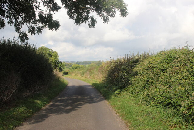
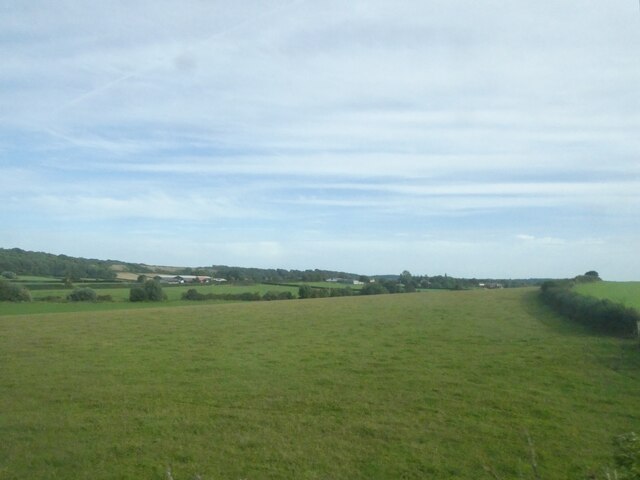
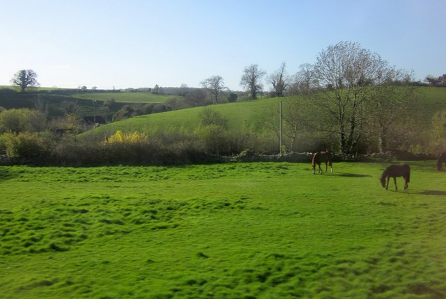
Covered in lush green grass and dotted with patches of vibrant wildflowers, Oborne Hill is a popular spot for nature lovers and outdoor enthusiasts. The hill is part of an extensive network of walking trails, making it an ideal destination for hikers and walkers looking to explore the area.

At the summit of Oborne Hill, visitors can enjoy breathtaking views of the rolling hills, idyllic farmland, and charming villages that make up the Dorset landscape. On a clear day, it is even possible to see as far as the English Channel.

The hill is also home to a variety of wildlife, including rabbits, foxes, and a diverse range of bird species. Nature enthusiasts can often spot kestrels and buzzards soaring gracefully above the hill, adding to the area's natural beauty.

Oborne Hill holds historical significance as well. It is believed to have been an ancient Iron Age hillfort, with remnants of earthworks and ramparts still visible today. These archaeological features provide a glimpse into the hill's past and add an element of intrigue for history buffs.

Overall, Oborne Hill in Dorset is a captivating destination that offers a perfect blend of natural beauty, recreational opportunities, and historical intrigue.

If you have any feedback on the listing, please let us know in the comments section below.
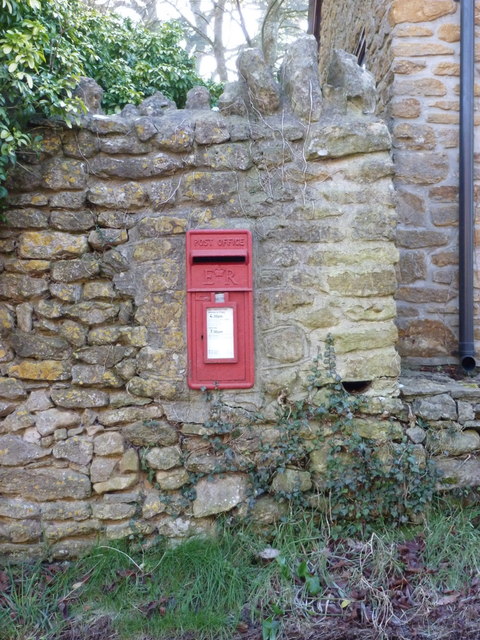
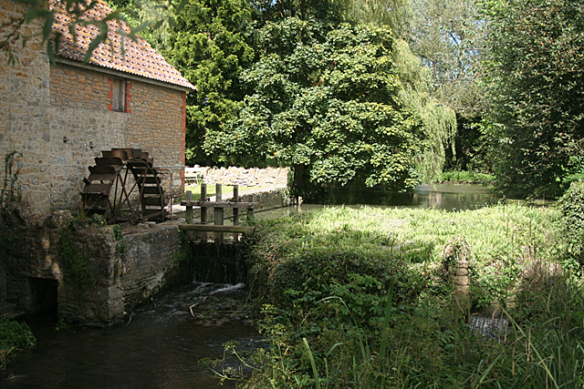
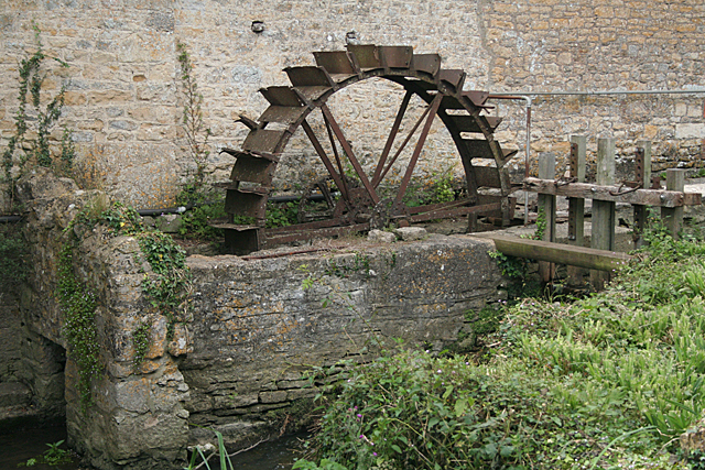
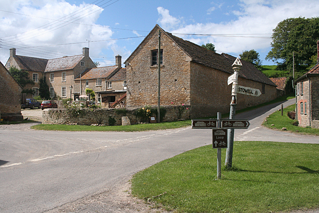
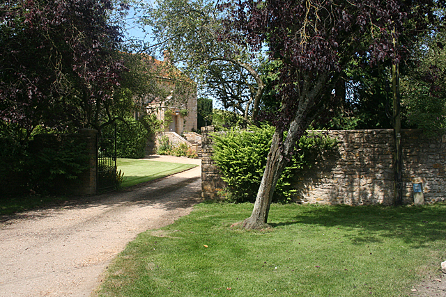
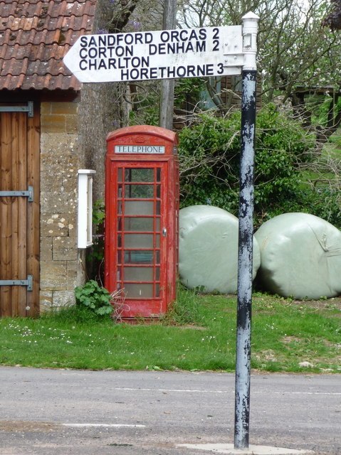
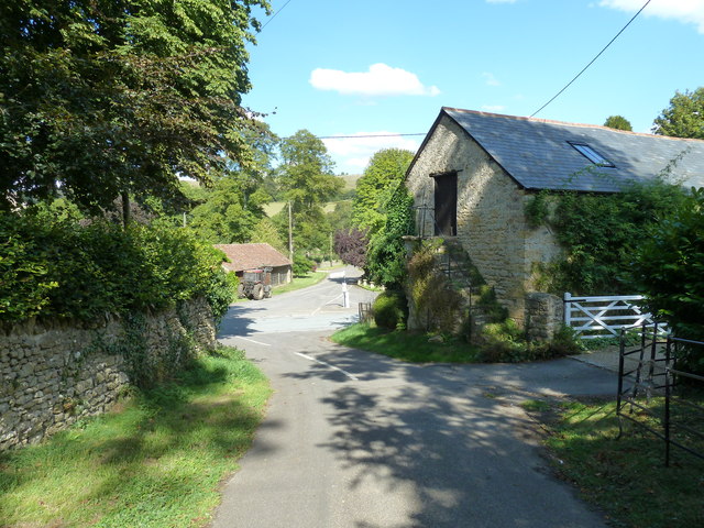
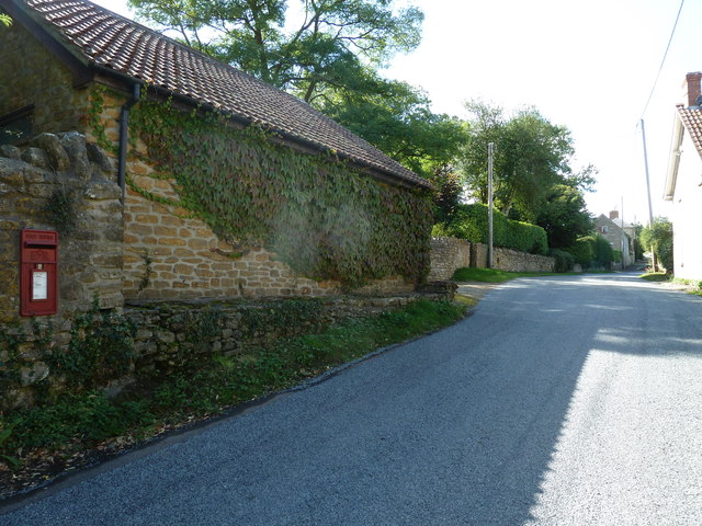
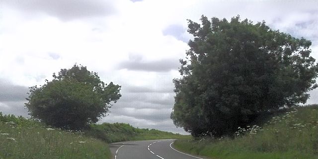
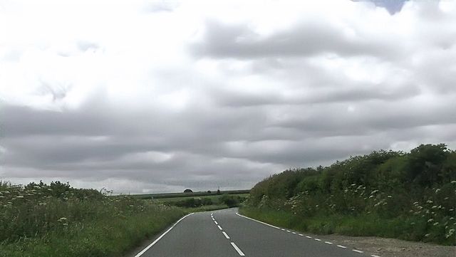
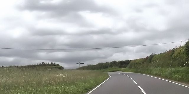
Oborne Hill Images

Images are sourced within 2km of 50.972801/-2.490816 or Grid Reference ST6519. Thanks to Geograph Open Source API. All images are credited.

Wick Rd Near Browns Farm View north down the hill in the direction of Milborne Wick which is at the bottom of the hill.
Wick Rd Near Browns Farm
View north down the hill in the direction of Milborne Wick which is at the bottom of the hill.
Railway at Milborne Wick The embankment carrying the Sherborne to Templecombe Line runs across the middle of the image.
Railway at Milborne Wick
The embankment carrying the Sherborne to Templecombe Line runs across the middle of the image.
Railway Bridge at Milborne Wick This bridge carries the Sherborne to Templecombe line over Wick Lane just south of Milborne Wick.
Railway Bridge at Milborne Wick
This bridge carries the Sherborne to Templecombe line over Wick Lane just south of Milborne Wick.
Milborne Wick This is part of the small cluster of buildings in the village close to the railway.
Milborne Wick
This is part of the small cluster of buildings in the village close to the railway.
Grassland south-east of Milborne Wick
Poyntington: postbox № DT9 12 A standard Elizabeth II-reign lamp box - designed to be and familiarly seen strapped to lampposts and telegraph poles, but in this instance set into a stone wall. It is emptied at 4:30pm on weekdays and at 7am on Saturdays.
Poyntington: postbox № DT9 12
A standard Elizabeth II-reign lamp box - designed to be and familiarly seen strapped to lampposts and telegraph poles, but in this instance set into a stone wall. It is emptied at 4:30pm on weekdays and at 7am on Saturdays.
Milborne Port: farm waterwheel at Milborne Wick Disused undershot waterwheel and hatch (or sluice) at Manor Farm. It was powered by the water from two large ponds, fed by the stream from Charlton Horethorne. In Milborne Port parish
Milborne Port: farm waterwheel at Milborne Wick
Disused undershot waterwheel and hatch (or sluice) at Manor Farm. It was powered by the water from two large ponds, fed by the stream from Charlton Horethorne. In Milborne Port parish
Milborne Port: farm waterwheel at Milborne Wick Disused undershot iron waterwheel with its wheelpit and bypass hatch or sluice. The wheel powered machinery - via a ring gear and pinion nearer the barn wall - at Manor Farm in the nineteenth century
Milborne Port: farm waterwheel at Milborne Wick
Disused undershot iron waterwheel with its wheelpit and bypass hatch or sluice. The wheel powered machinery - via a ring gear and pinion nearer the barn wall - at Manor Farm in the nineteenth century
Milborne Port: towards Bradley Head Farm, Milborne Wick Bradley Head is a spring north-northwest from the farm that used to power Wick Mill. The lane running up the hill runs to Charlton Horethorne
Milborne Port: towards Bradley Head Farm, Milborne Wick
Bradley Head is a spring north-northwest from the farm that used to power Wick Mill. The lane running up the hill runs to Charlton Horethorne
Milborne Port: entrance to Manor Farm, Milborne Wick In Milborne Wick hamlet, Milborne Port parish
Milborne Port: entrance to Manor Farm, Milborne Wick
In Milborne Wick hamlet, Milborne Port parish
Milborne Wick Mission Church
Field at Milborne Wick Seen from a train on the line between Sherborne and Templecombe. The sloping hill in the background is Barrow Hill, a promontory fort <span class="nowrap"><a title="https://historicengland.org.uk/listing/the-list/list-entry/1016738" rel="nofollow ugc noopener" href="https://historicengland.org.uk/listing/the-list/list-entry/1016738">Link</a><img style="margin-left:2px;" alt="External link" title="External link - shift click to open in new window" src="https://s1.geograph.org.uk/img/external.png" width="10" height="10"/></span>  .
Field at Milborne Wick
Seen from a train on the line between Sherborne and Templecombe. The sloping hill in the background is Barrow Hill, a promontory fort LinkExternal link .
Poyntington: phone box and finger-post A traditional red 'K6' telephone box stands alongside a barn at the junction in the centre of the village.
Poyntington: phone box and finger-post
A traditional red 'K6' telephone box stands alongside a barn at the junction in the centre of the village.
Rush hour in Poyntington
Traffic jam in Poyntington
Layby on bend on Poyntington Down
B3145 approaching Poyntington
Crossroads near Poyntington
Show me another place!

Oborne Hill is located at Grid Ref: ST6519 (Lat: 50.972801, Lng: -2.490816)

Unitary Authority: Dorset

Police Authority: Dorset

What 3 Words

///truckload.shun.stripped. Near Milborne Port, Somerset
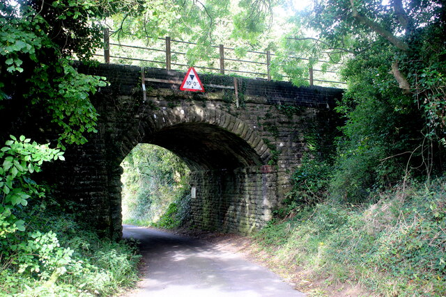
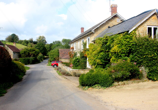
Related Wikis

Poyntington

Poyntington is a village and civil parish in the county of Dorset in South West England. It lies on the edge of the Blackmore Vale about 2 miles (3.2 km...

Oborne

Oborne is a village and civil parish in north west Dorset, England, situated just north of the A30 road approximately 1 mile (1.6 km) northeast of Sherborne...

Frogden Quarry

Frogden Quarry (grid reference ST649183) is a 0.2 hectare geological Site of Special Scientific Interest in Dorset, England, notified in 1954, by geologist...

Miller's Hill, Milborne Wick

Miller's Hill, Milborne Wick (grid reference ST66312057) is a 0.6-hectare (1.5-acre) geological Site of Special Scientific Interest at Milborne Wick in...

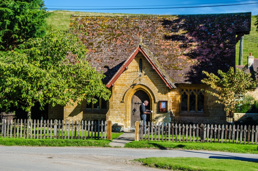
Old St Cuthbert's Church, Oborne

The Old St Cuthbert's Church in Oborne, Dorset, England was built in 1533. It is recorded in the National Heritage List for England as a designated Grade...

Milborne Wick Mission Church

Milborne Wick Mission Church is a Church of England church in Milborne Wick, Somerset, England. The church was built in 1891 and is a Grade II listed building...

Church of St John the Evangelist, Milborne Port

The Church of St John the Evangelist in Milborne Port, Somerset, England is a cruciform church of late Anglo-Saxon date and parts may well span the Norman...

Milborne Port

Milborne Port is a village, electoral ward and civil parish in Somerset, England, east of Sherborne, and in the South Somerset district. It has a population...

Nearby Amenities

Located within 500m of 50.972801,-2.490816
The data included in this document is from www.openstreetmap.org. The data is made available under ODbL.

Have you been to Oborne Hill?

Leave your review of Oborne Hill below (or comments, questions and feedback).