Mellerstain Hill

Hill, Mountain in Berwickshire

Scotland

Mellerstain Hill

A woodland edge at Fans
A woodland edge at Fans Credit: Walter Baxter

Mellerstain Hill is a prominent geographical feature located in Berwickshire, Scotland. It is situated approximately 2 miles northwest of the village of Gordon and 7 miles northeast of the town of Earlston. This hill is part of the wider Cheviot Hills range, which stretches across the border between Scotland and England.

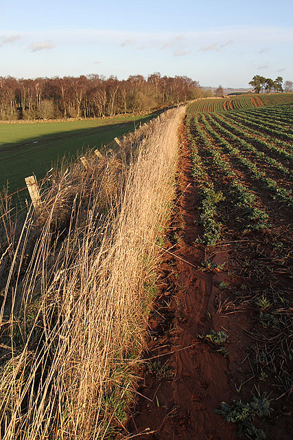
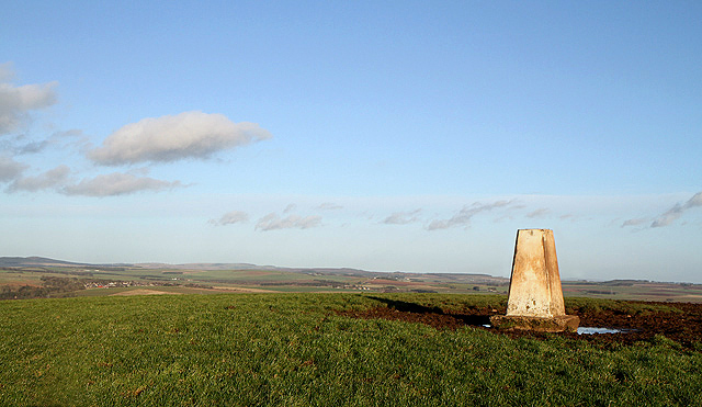
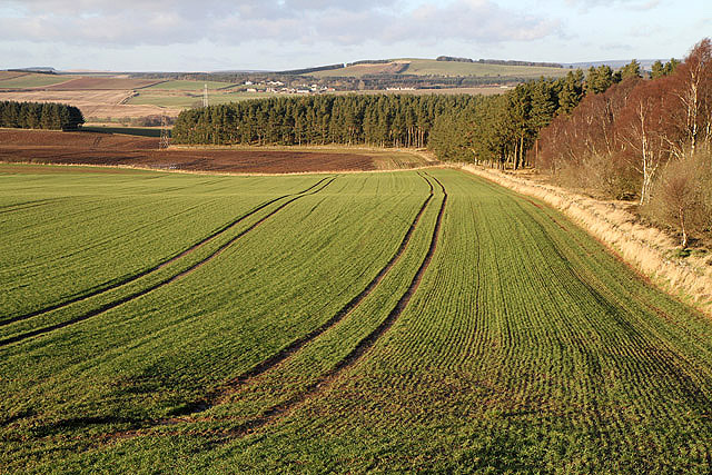
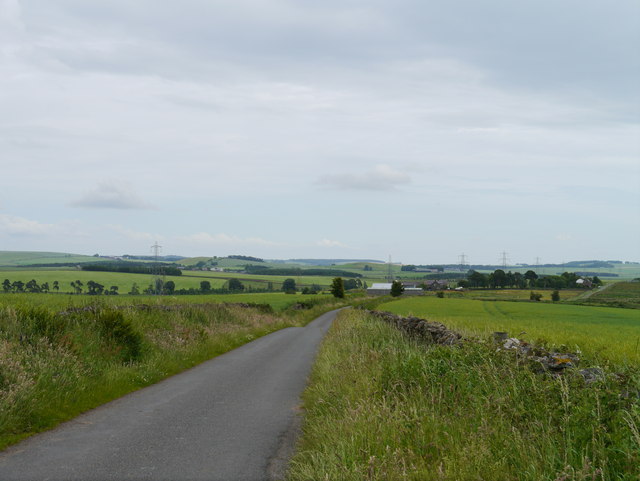
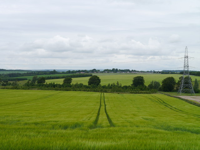
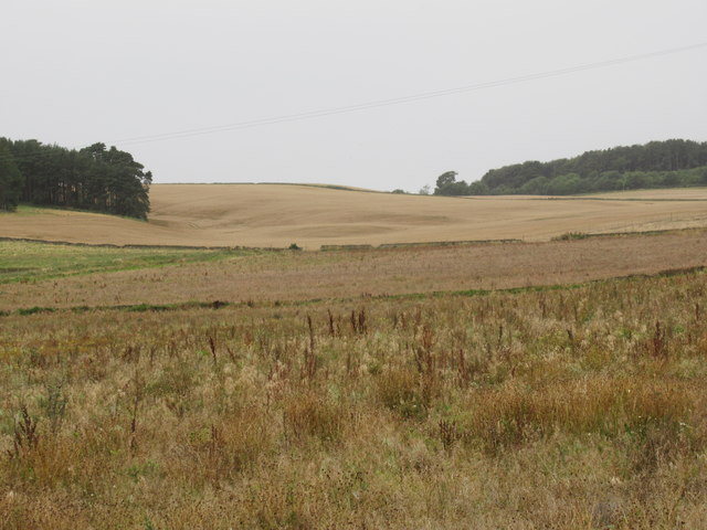
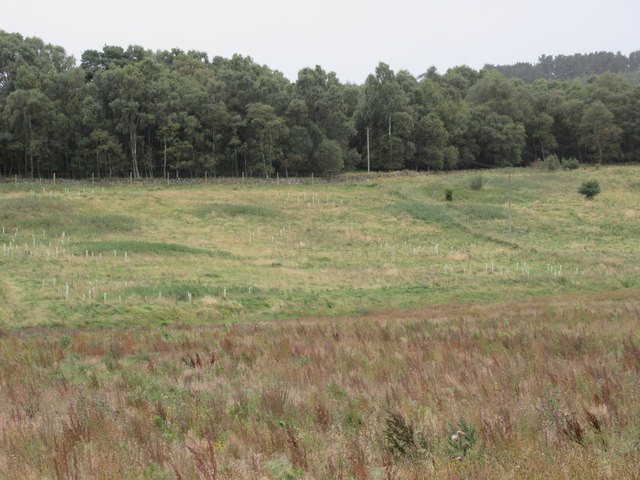
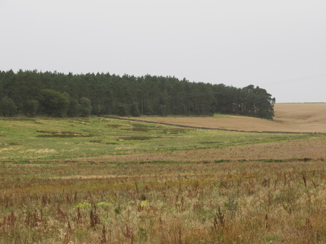
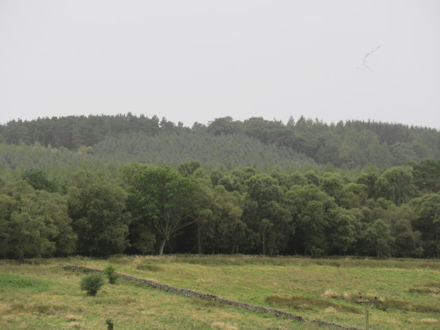
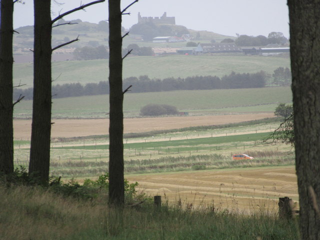
Rising to a height of 336 meters (1,102 feet), Mellerstain Hill offers breathtaking panoramic views of the surrounding countryside. It is characterized by its gently sloping sides, covered with lush green vegetation, and its distinct rocky outcrops dotting the landscape. The hill is primarily composed of sedimentary rocks, including sandstone and shale, which have been shaped over millions of years by erosion and glaciation.

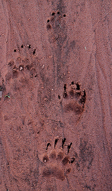
Mellerstain Hill is renowned for its diverse wildlife and rich biodiversity. The area is home to a variety of bird species, including raptors such as buzzards and kestrels, as well as smaller birds like skylarks and meadow pipits. The hillside is also inhabited by mammals such as red deer and rabbits, while the surrounding fields and woods provide habitat for numerous species of insects.

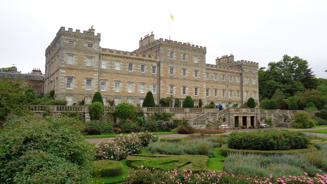
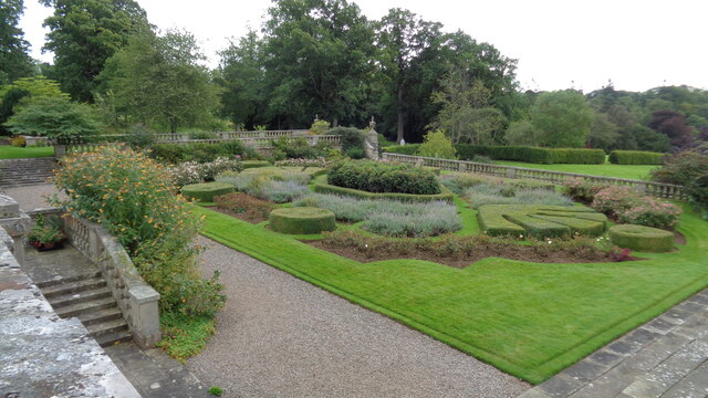
Aside from its natural beauty, Mellerstain Hill is also of historical significance. The hill takes its name from the nearby Mellerstain House, an impressive Georgian mansion built in the 18th century. The hill and its surrounding lands were once part of the Mellerstain Estate, which has a rich history dating back several centuries.

Overall, Mellerstain Hill is a picturesque and ecologically significant landmark in Berwickshire, attracting visitors who appreciate its stunning views, diverse wildlife, and historical associations.

If you have any feedback on the listing, please let us know in the comments section below.

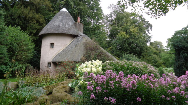
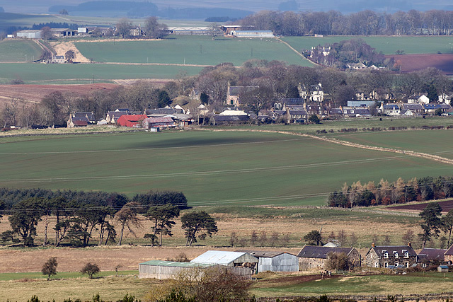
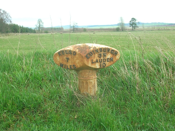
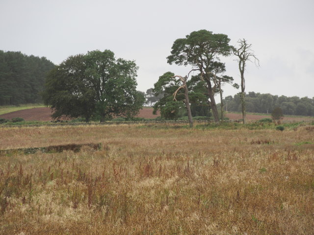
Mellerstain Hill Images

Images are sourced within 2km of 55.649819/-2.5715264 or Grid Reference NT6439. Thanks to Geograph Open Source API. All images are credited.

A woodland edge at Fans
A field edge at Fans Hill Badger tracks were imprinted in the soil along the edge of this field of winter crops at Fans Hill. The rich red soil in this area comes from a layer of old red sandstone. For a close up view of the badger tracks, see <a href="https://www.geograph.org.uk/photo/2758923">NT6340 : Badger tracks at Fans Hill</a>.
A field edge at Fans Hill
Badger tracks were imprinted in the soil along the edge of this field of winter crops at Fans Hill. The rich red soil in this area comes from a layer of old red sandstone. For a close up view of the badger tracks, see NT6340 : Badger tracks at Fans Hill.
Badger tracks at Fans Hill A line of badger footprints ran along a field edge on the northeast side of the hill. For a view of the field edge, see <a href="https://www.geograph.org.uk/photo/2758915">NT6340 : A field edge at Fans Hill</a>. The rich red soil in this area comes from a layer of old red sandstone.
Badger tracks at Fans Hill
A line of badger footprints ran along a field edge on the northeast side of the hill. For a view of the field edge, see NT6340 : A field edge at Fans Hill. The rich red soil in this area comes from a layer of old red sandstone.
The triangulation pillar on Fans Hill Trig point S7890 is at 246m in a grazing area.
The triangulation pillar on Fans Hill
Trig point S7890 is at 246m in a grazing area.
An arable field at Fans Hill
Towards Lightfield Heading east along the Fans to Lightfield road under threatening skies.
Towards Lightfield
Heading east along the Fans to Lightfield road under threatening skies.
Barley Near Lightfield A view across ripening Barley to Gordon village.
Barley Near Lightfield
A view across ripening Barley to Gordon village.
Mellerstain House The south facade
Mellerstain House
The south facade
Formal garden On the south front of Mellerstain House
Formal garden
On the south front of Mellerstain House
The old cottage On the Mellerstain estate
The old cottage
On the Mellerstain estate
Lightfield Farm from Mellerstain Hill The farm is in the foreground with Gordon village in the background in this early April telephoto view.
Lightfield Farm from Mellerstain Hill
The farm is in the foreground with Gordon village in the background in this early April telephoto view.
Old Milepost by the A6089, south of Gordon, Earlston parish Blaydon casting by the A6089, in parish of Earlston (Berwick District), South of Gordon, and near Shusie's Covert wood.

Inscription reads:-
: KELSO / 7 / MILES : : EDINBURGH / 35 / LAUDER / 10 :
Maker:-
: SMITH PATTERSON / BLAYDON : 

Surveyed

Milestone Society National ID: BD_KSED07
Old Milepost by the A6089, south of Gordon, Earlston parish
Blaydon casting by the A6089, in parish of Earlston (Berwick District), South of Gordon, and near Shusie's Covert wood. Inscription reads:- : KELSO / 7 / MILES : : EDINBURGH / 35 / LAUDER / 10 : Maker:- : SMITH PATTERSON / BLAYDON : Surveyed Milestone Society National ID: BD_KSED07
Big old trees near Lightfield by Gordon in the Scottish Borders
Arable ground beyond forestry-to-be near Lightfield in the Scottish Borders
Old pasture fields tree-planted near Lightfield in the Scottish Borders
Old pasture fields above free-draining ground ear-marked for pines near Lightfield by Gordon in the Scottish Borders
Trees galore near Lightfield in the Scottish Borders
View through the Horseshoe by Lightfield near Gordon in the Scottish Borders A folly in the view!
View through the Horseshoe by Lightfield near Gordon in the Scottish Borders
A folly in the view!
Show me another place!

Mellerstain Hill is located at Grid Ref: NT6439 (Lat: 55.649819, Lng: -2.5715264)

Unitary Authority: The Scottish Borders

Police Authority: The Lothians and Scottish Borders

What 3 Words

///inherits.elephant.sand. Near Earlston, Scottish Borders

Related Wikis

Mellerstain House

Mellerstain House is a stately home around 8 miles (13 kilometres) north of Kelso in the Borders, Scotland. It is currently the home of George Baillie...

Gordon Moss

Gordon Moss is a nature reserve near Gordon, in the Scottish Borders area of Scotland, in the former Berwickshire. The moss is situated one mile west of...

Greenknowe Tower

Greenknowe Tower is a 16th-century tower house, located just west of the village of Gordon, in the Scottish Borders. Although a roofless ruin, the stonework...

Gordon, Scottish Borders

Gordon is a village in the Scottish Borders area of Scotland, within the historic county of Berwickshire. The village sits on the crossroads of the A6105...

Smailholm

Smailholm (Scots: Smailhowm) is a small village in the historic county of Roxburghshire in south-east Scotland. It is at grid reference NT648364 and straddles...

Gordon (NBR) railway station

Gordon railway station served the village of Gordon, Scottish Borders, Scotland from 1863 to 1948 on the Berwickshire Railway. == History == The station...
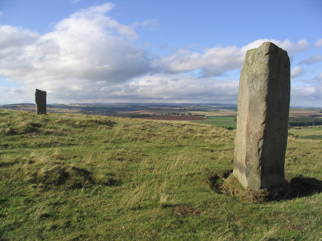
Brotherstone Hill

Brotherstone Hill is a hill near St. Boswells and the Eildon Hills in the Scottish Borders area of Scotland, with two standing stones from the megalithic...

Nenthorn

Nenthorn is a parish and hamlet in the south of the historic county of Berwickshire in the Scottish Borders area of Scotland. It is included in the Floors...

Nearby Amenities

Located within 500m of 55.649819,-2.5715264
Mellerstain Hill
Natural: peak
Lat/Long: 55.6489697/-2.5717509
Power: pole
Lat/Long: 55.6454309/-2.5730393
Power: pole
Lat/Long: 55.6457579/-2.5720682
Power: pole
Lat/Long: 55.6455643/-2.5705455
Power: pole
Lat/Long: 55.6479304/-2.5643592
Power: pole
Lat/Long: 55.6476213/-2.5653249
Power: pole
Lat/Long: 55.6472388/-2.5665091
Power: pole
Lat/Long: 55.6469188/-2.5674524
Power: pole
Lat/Long: 55.6466012/-2.5683947
Power: pole
Lat/Long: 55.6462944/-2.5693498
Power: pole
Lat/Long: 55.6459937/-2.5702899
The data included in this document is from www.openstreetmap.org. The data is made available under ODbL.

Have you been to Mellerstain Hill?

Leave your review of Mellerstain Hill below (or comments, questions and feedback).