Black Hill
Hill, Mountain in Northumberland
England
Black Hill

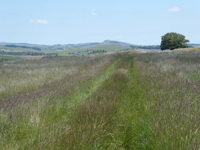
Black Hill is a prominent hill located in the county of Northumberland, England. Part of the Pennines, it is situated within the North Pennines Area of Outstanding Natural Beauty. Rising to a height of 582 meters (1,909 feet), it offers breathtaking panoramic views of the surrounding landscape.
The hill is characterized by its distinctive black peat covering, giving it its name. This unique feature is a result of the acidic nature of the soil, which inhibits the growth of vegetation, resulting in a dark appearance. The summit of Black Hill is relatively flat, making it an accessible spot for hikers and nature enthusiasts.
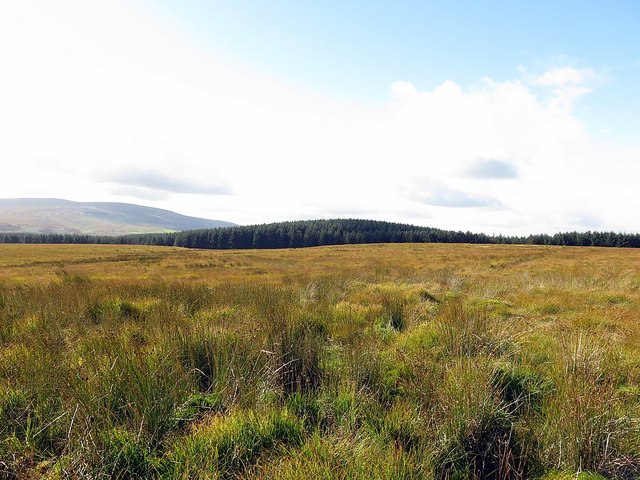
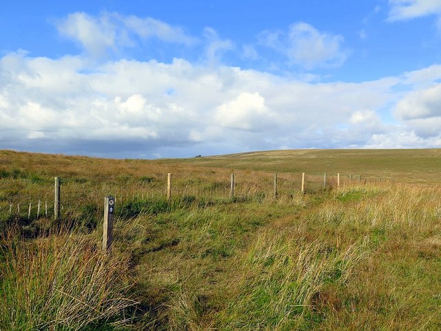
The terrain is mostly rugged and remote, with heather moorland dominating the landscape. This provides a habitat for various wildlife species, including curlews, golden plovers, and red grouse. The hill is also home to a diverse range of plant life, such as bilberry and cotton grass.
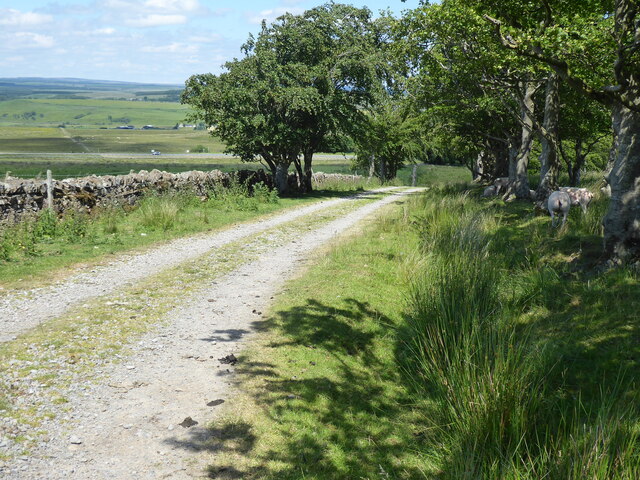
Black Hill attracts an array of outdoor enthusiasts, including walkers, hikers, and photographers. Numerous footpaths and trails traverse the hill, allowing visitors to explore its natural beauty and enjoy its peaceful ambiance. The Pennine Way, a popular long-distance footpath, passes through the area, offering an excellent opportunity for both experienced and novice walkers to experience the beauty of the region.
With its striking natural features and stunning vistas, Black Hill, Northumberland, is an ideal destination for those seeking a tranquil escape and a chance to immerse themselves in the breathtaking landscapes of the North Pennines.
If you have any feedback on the listing, please let us know in the comments section below.
Black Hill Images
Images are sourced within 2km of 54.964495/-2.5617989 or Grid Reference NY6463. Thanks to Geograph Open Source API. All images are credited.


Black Hill is located at Grid Ref: NY6463 (Lat: 54.964495, Lng: -2.5617989)
Unitary Authority: Northumberland
Police Authority: Northumbria
What 3 Words
///thumb.midfield.worldwide. Near Greenhead, Northumberland
Nearby Locations
Related Wikis

Blenkinsopp Castle
Blenkinsopp Castle (spelled Blenkinsop in many records) is a fire-damaged, partly demolished 19th-century country mansion, incorporating the ruinous remains...
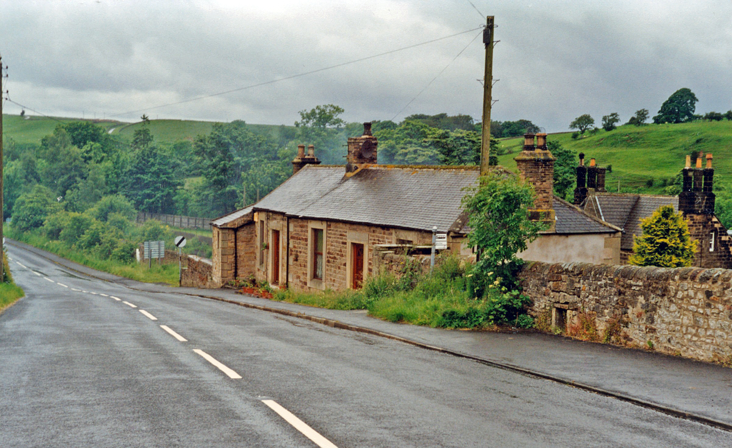
Greenhead railway station
Greenhead was a former railway station, which served the village of Greenhead, Northumberland in Northumberland between 1836 and 1967. == History == The...

Milecastle 47
Milecastle 47 (Chapel House) was a milecastle on Hadrian's Wall (grid reference NY64906607). == Description == Milecastle 47 is about 270 metres east of...
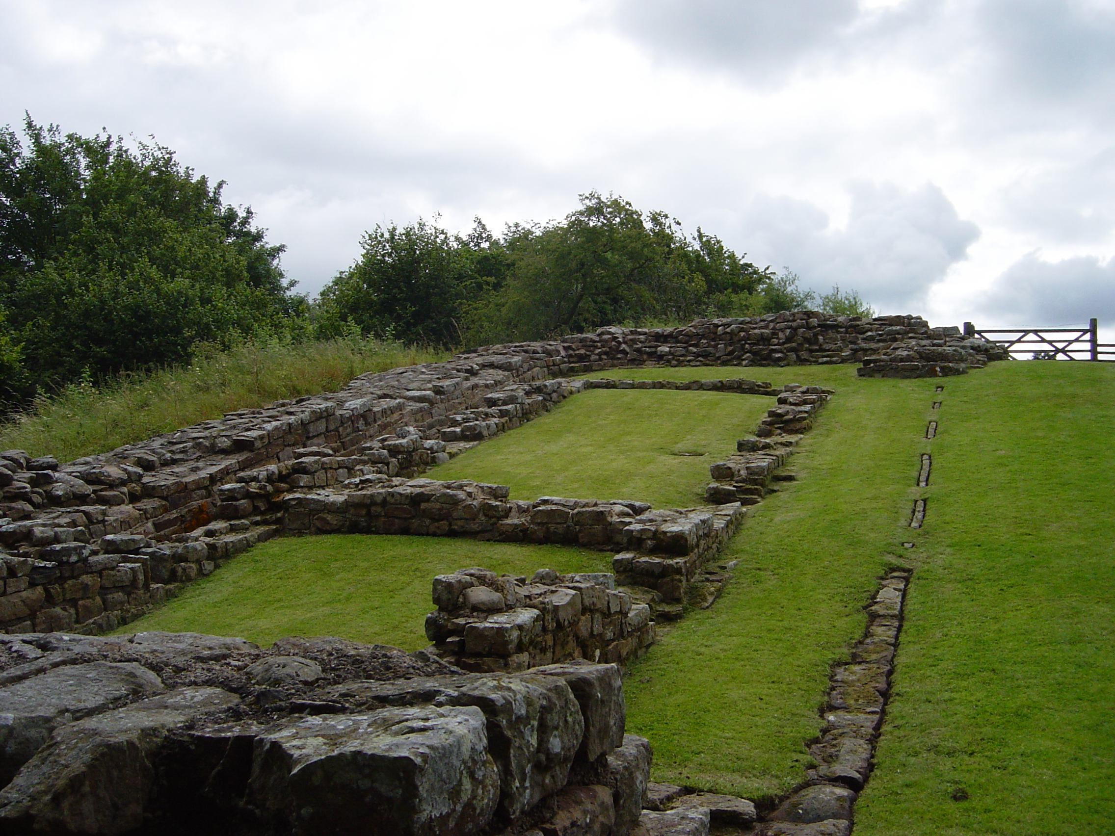
Milecastle 48
Milecastle 48 (Poltross Burn), is a milecastle on Hadrian's Wall (grid reference NY6340666195). Its remains lie near the village of Gilsland in Cumbria...

Gilsland railway station
Gilsland railway station was a railway station on the Newcastle and Carlisle Railway, on the Carlisle to Hexham section. It was situated near the centre...
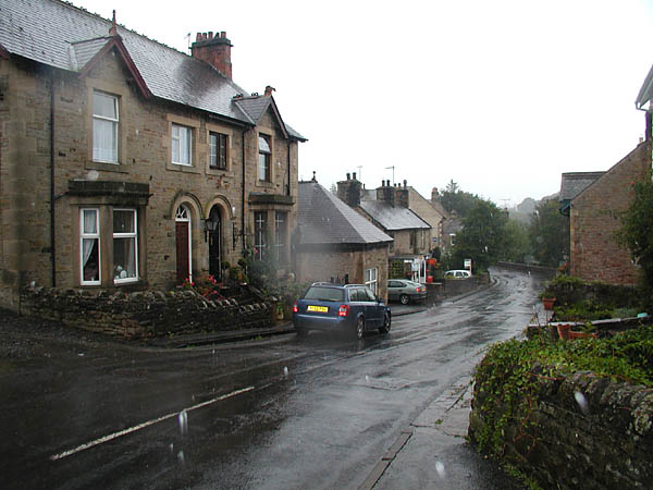
Gilsland
Gilsland is a village in northern England about 20 miles (32 km) west of Hexham, and about 18 miles (29 km) east of Carlisle, which straddles the border...

Mumps Hall
Mumps Hall was an inn at the confluence of the Poltross Burn and the River Irthing, a site now at the centre of the village of Gilsland in Cumbria. It...

Upper Denton
Upper Denton is a small village and civil parish in the north of Cumbria, England, about 1 km north of the A69 road linking Haltwhistle and Brampton. The...
Related Videos
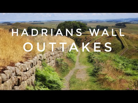
Walking Hadrian’s Wall #outtakes #bloopers #hadrianswall
Not all goes to plan whilst making our shot videos along the wall.

Blenkinsopp Castle - England 2019
Happy Father's Day, Dad! Love, Your Punkin' Head.

Adrian Takes On Hadrian’s Wall | Stage Two | Carlisle To Gilsland
My #AdrianxHadrian adventure has begun, and I'm officially on the trail. This is Stage Two, Carlisle to Gilsland, and late in the day ...

Beech Grove, Gilsland | Rental Property Video Tour
Monthly Rent: £700 Detached Bungalow Quiet Cul-de-Sac Elevated Position Views to Countryside Conservatory Shed, Garage ...
Have you been to Black Hill?
Leave your review of Black Hill below (or comments, questions and feedback).