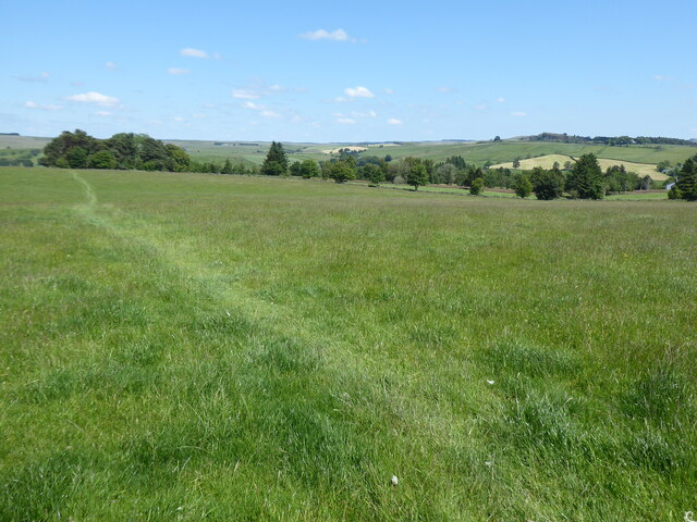
Blenkinsopp Common

Downs, Moorland in Northumberland

England

Blenkinsopp Common

Minor road towards Wydoncleughside
Minor road towards Wydoncleughside Credit: Steven Brown

The requested URL returned error: 429 Too Many Requests

If you have any feedback on the listing, please let us know in the comments section below.

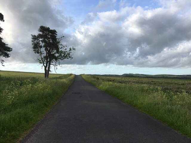
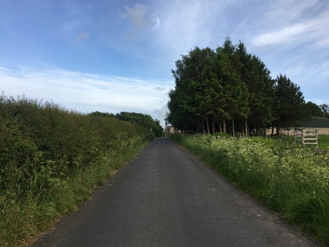
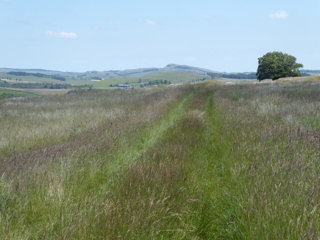
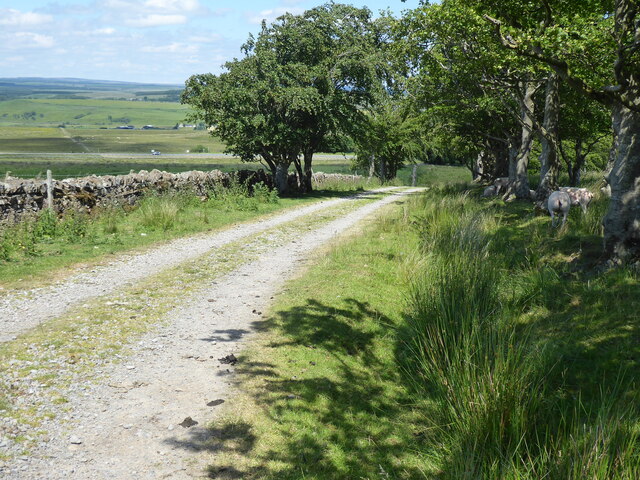
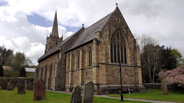
Blenkinsopp Common Images

Images are sourced within 2km of 54.966729/-2.5486628 or Grid Reference NY6463. Thanks to Geograph Open Source API. All images are credited.

Minor road towards Wydoncleughside
Minor road near Wydoncleughside
The Pennine Way near Cow Rigg
The Pennine Way near Galloping Rigg
The Pennine Way near Black Hill
The Pennine Way near Gap Shields Fan
The Pennine Way near Todholes
The Pennine Way approaching the A69
The Pennine Way near the A69
On the Pennine Way at Galloping Rigg near Greenhead
Trig Point on Blenkinsopp Common & close to Pennine Way
The Greenhead Hotel
The Greenhead Hotel
Gateway for track into field on SW side of A69
NE approach to Blenkinsop Crossing on Carlisle to Newcastle line
Benchmark on east face of buttress on south face of St Cuthbert's Church Ordnance Survey 1GL bolt benchmark levelled at 129.342m above Newlyn Datum verified 1954. The mark had previously been levelled at 424.142 feet above Liverpool Datum during the 1844/5 Carlisle to North Shields 1GL Survey.  The surveyor's description was 'No. 66. Bolt in North-east corner of Greenhead Parish Church ; 1.75 ft. above surface'. The mark was actually on SE corner. This is the corner of the 1828 built chapel of ease. The corner is now in the middle of the south face as the church was extended eastwards in 1900, although the 1888-1913 Map doesn't show this extension.
Benchmark on east face of buttress on south face of St Cuthbert's Church
Ordnance Survey 1GL bolt benchmark levelled at 129.342m above Newlyn Datum verified 1954. The mark had previously been levelled at 424.142 feet above Liverpool Datum during the 1844/5 Carlisle to North Shields 1GL Survey. The surveyor's description was 'No. 66. Bolt in North-east corner of Greenhead Parish Church ; 1.75 ft. above surface'. The mark was actually on SE corner. This is the corner of the 1828 built chapel of ease. The corner is now in the middle of the south face as the church was extended eastwards in 1900, although the 1888-1913 Map doesn't show this extension.
St Cuthbert's Church There is an Ordnance Survey benchmark <a href="https://www.geograph.org.uk/photo/7480225">NY6665 : Benchmark on east face of buttress on south face of St Cuthbert's Church</a> on the buttress in the middle of the left hand face, where the two sections of the building join
St Cuthbert's Church
There is an Ordnance Survey benchmark NY6665 : Benchmark on east face of buttress on south face of St Cuthbert's Church on the buttress in the middle of the left hand face, where the two sections of the building join
St Cuthbert's Church
Patch of bluebells beside field fence for field on SW side of A69
Show me another place!

Blenkinsopp Common is located at Grid Ref: NY6463 (Lat: 54.966729, Lng: -2.5486628)

Unitary Authority: Northumberland

Police Authority: Northumbria

What 3 Words

///occurs.triathlon.hulk. Near Greenhead, Northumberland

Related Wikis

Blenkinsopp Castle

Blenkinsopp Castle (spelled Blenkinsop in many records) is a fire-damaged, partly demolished 19th-century country mansion, incorporating the ruinous remains...

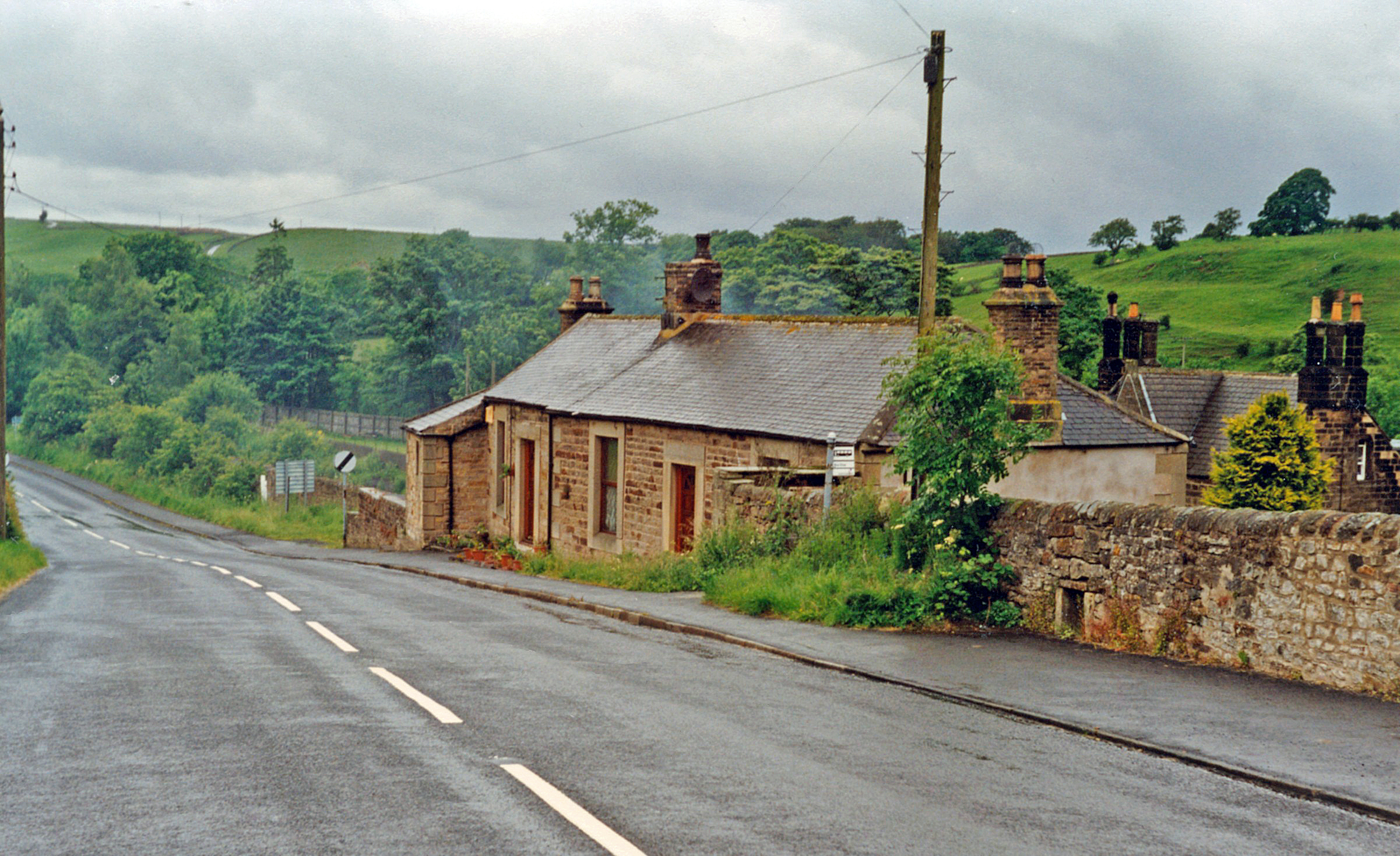
Greenhead railway station

Greenhead was a former railway station, which served the village of Greenhead, Northumberland in Northumberland between 1836 and 1967. == History == The...

Milecastle 47

Milecastle 47 (Chapel House) was a milecastle on Hadrian's Wall (grid reference NY64906607). == Description == Milecastle 47 is about 270 metres east of...

Greenhead, Northumberland

Greenhead is a village in Northumberland, England. The village is on the Military Road (B6318), about 17 miles (27 km) from Chollerford, 3 miles (5 km...

Nearby Amenities

Located within 500m of 54.966729,-2.5486628
Hot Moss
Place: locality
Lat/Long: 54.9652139/-2.5481805
Blenkinsop Common
Place: locality
Lat/Long: 54.9682985/-2.545005
The data included in this document is from www.openstreetmap.org. The data is made available under ODbL.

Have you been to Blenkinsopp Common?

Leave your review of Blenkinsopp Common below (or comments, questions and feedback).