Burn Fell

Downs, Moorland in Yorkshire Ribble Valley

England

Burn Fell

Aqueduct manhole north of Meadow Clough
Aqueduct manhole north of Meadow Clough Credit: shikari

The requested URL returned error: 429 Too Many Requests

If you have any feedback on the listing, please let us know in the comments section below.
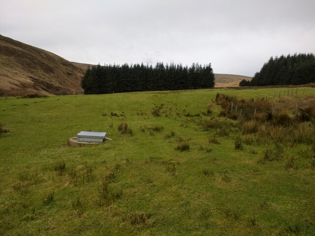
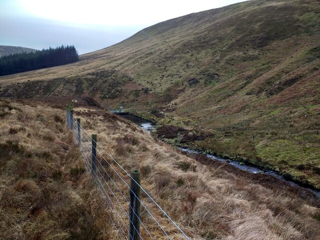
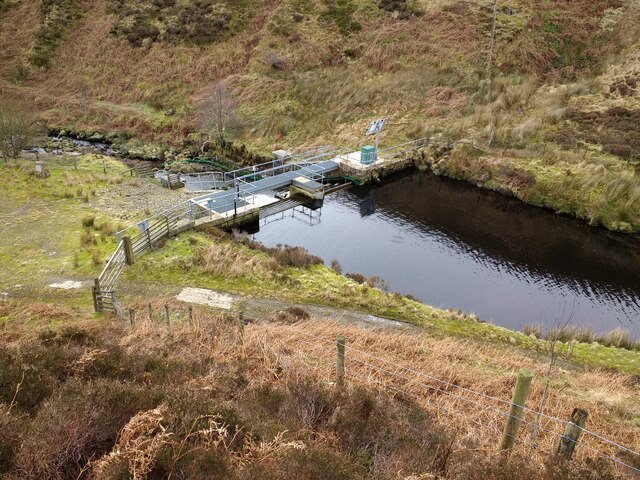
Burn Fell Images

Images are sourced within 2km of 54.011177/-2.5357196 or Grid Reference SD6457. Thanks to Geograph Open Source API. All images are credited.

Aqueduct manhole north of Meadow Clough
Whitendale intake from the north east
Whitendale intake
Whitendale intake
Staging area on vehicle track by Whitendale intake
Track to Whitendale intake
Ford at upstream end of Whitendale intake
View down Whitendale pipeline and track from the intake
View down Whitendale valley and aqueduct from the intake
Fish pass on Whitendale intake weir
Whitendale intake weir and fish pass
Whitendale intake and weir
Whitendale intake pond
View from Wolfhole Crag across to the Three Peaks
View on a very misty day at Wolfhole Crag Triangulation Pillar Looking eastward.
View on a very misty day at Wolfhole Crag Triangulation Pillar
Looking eastward.
Wolfhole Crag View of Wolfhole Crag.
Wolfhole Crag
View of Wolfhole Crag.
Shooters Clough View looking up Shooters Clough.
Shooters Clough
View looking up Shooters Clough.
Heather moorland north of Higher Stony Clough
Show me another place!

Burn Fell is located at Grid Ref: SD6457 (Lat: 54.011177, Lng: -2.5357196)

Division: West Riding

Administrative County: Lancashire

District: Ribble Valley

Police Authority: Lancashire

What 3 Words

///submerged.install.jeering. Near High Bentham, North Yorkshire

Nearby Locations

Burn Fell

Related Wikis

Brennand Farm

Brennand Farm is often claimed to be the true centre of Great Britain. This is about seven kilometres north-west of Dunsop Bridge - which has the nearest...

Wolfhole Crag

Wolfhole Crag is an isolated and seldom-visited hill in the Forest of Bowland in Lancashire, England. Its seclusion is due in part to its low profile and...

Geography of the United Kingdom

The United Kingdom is a sovereign state located off the north-western coast of continental Europe. With a total area of approximately 248,532 square kilometres...

White Hill (Forest of Bowland)

White Hill is a hill in the Forest of Bowland, north-western England. It lies between Slaidburn and High Bentham. The summit houses a tower and a trig...

Nearby Amenities

Located within 500m of 54.011177,-2.5357196
Burn Fell
Is In Country Code: GB
Natural: fell
Source: NPE
Lat/Long: 54.0081661/-2.5349887
Sapling Crag
Place: locality
Lat/Long: 54.0068769/-2.5371059
The data included in this document is from www.openstreetmap.org. The data is made available under ODbL.

Have you been to Burn Fell?

Leave your review of Burn Fell below (or comments, questions and feedback).