Eyton Moor
Downs, Moorland in Shropshire
England
Eyton Moor

The requested URL returned error: 429 Too Many Requests
If you have any feedback on the listing, please let us know in the comments section below.
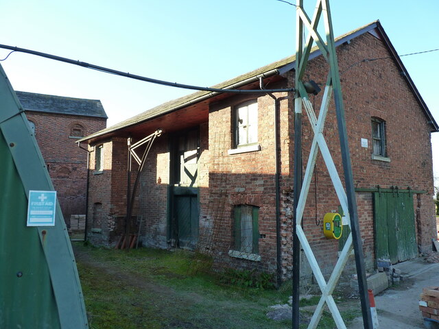
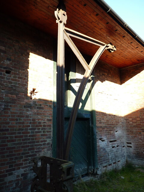
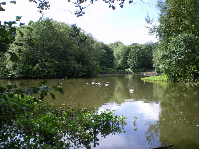
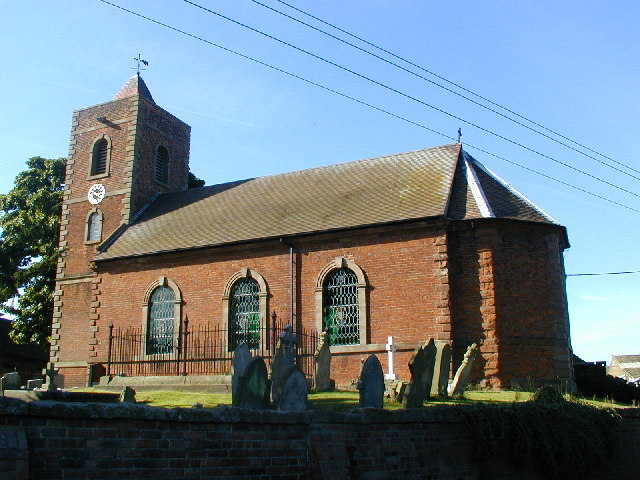
Eyton Moor Images
Images are sourced within 2km of 52.734868/-2.5198879 or Grid Reference SJ6415. Thanks to Geograph Open Source API. All images are credited.


Eyton Moor is located at Grid Ref: SJ6415 (Lat: 52.734868, Lng: -2.5198879)
Unitary Authority: Telford and Wrekin
Police Authority: West Mercia
What 3 Words
///prayers.shuttered.ocean. Near Eyton upon the Weald Moors, Shropshire
Nearby Locations
Related Wikis
Eyton upon the Weald Moors
Eyton is a village and civil parish in Shropshire, England on the south-west edge of the Weald Moors, north of Wellington. Naturalist Thomas Campbell Eyton...
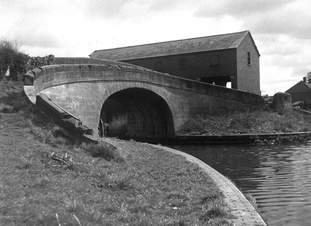
Wappenshall Junction
Wappenshall Junction (grid reference SJ662145) is a British canal junction located at Wappenshall, Shropshire. It was created when the Newport Branch Canal...

Bratton, Shropshire
Bratton is a settlement in the English county of Shropshire, originally a rural village, now partly suburban. The population in 2011 was 230. == Geography... ==
RAF Bratton
Royal Air Force Bratton or more simply RAF Bratton is a former Royal Air Force station located at Bratton, Shropshire, England. The following units were...
Have you been to Eyton Moor?
Leave your review of Eyton Moor below (or comments, questions and feedback).