Old Rookery

Wood, Forest in Shropshire

England

Old Rookery

Houses at Long Lane
Houses at Long Lane Credit: Ian S

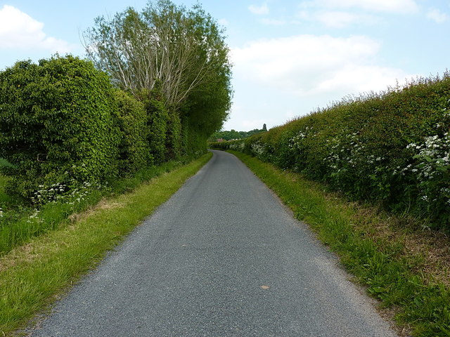
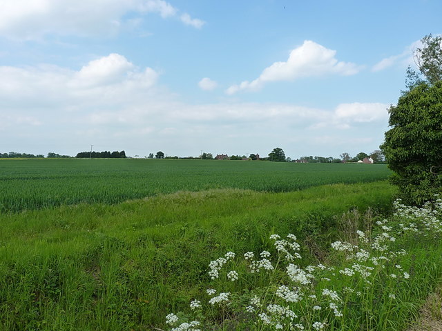
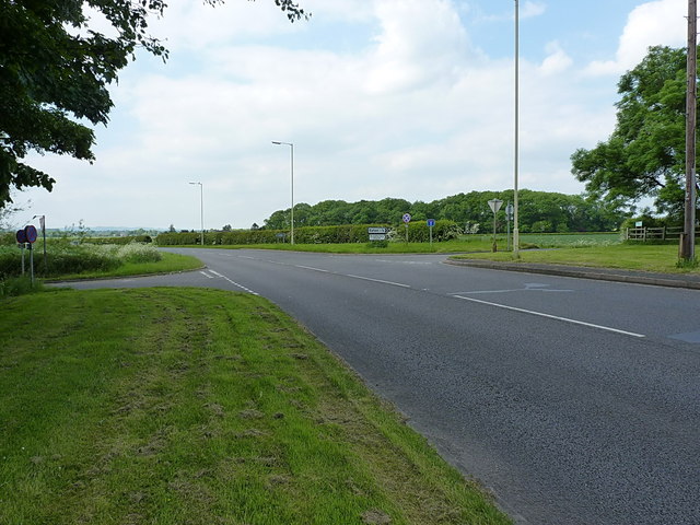
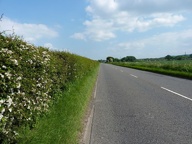
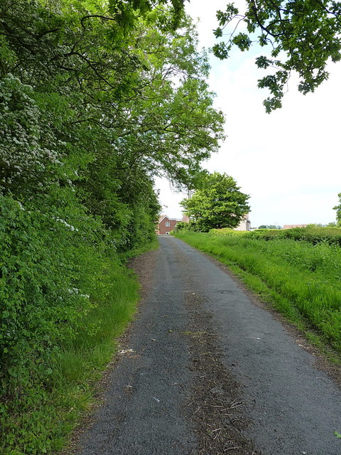
Old Rookery in Shropshire is a picturesque wood or forest located in the heart of the English countryside. The area is known for its dense foliage, towering trees, and diverse wildlife. The forest is home to a variety of bird species, including rooks, which can often be seen nesting in the treetops.

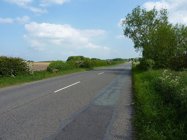
Old Rookery is a popular destination for nature lovers and outdoor enthusiasts, offering a peaceful retreat from the hustle and bustle of city life. Visitors can explore the winding trails that meander through the forest, taking in the sights and sounds of the natural surroundings.

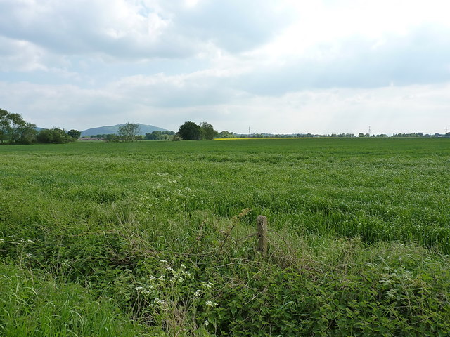
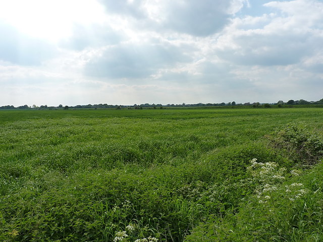
The wood is also a haven for plant life, with an abundance of wildflowers, ferns, and mosses carpeting the forest floor. In the spring, the forest comes alive with vibrant blooms and the sweet scent of blossoming trees.

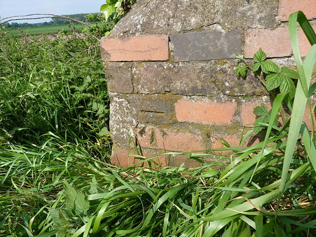
Old Rookery is steeped in history, with ancient ruins and relics scattered throughout the wood. Visitors can uncover the secrets of the past as they wander through the forest, imagining what life was like for those who once inhabited the area.

Overall, Old Rookery is a hidden gem in Shropshire, offering a tranquil escape into the beauty of nature.

If you have any feedback on the listing, please let us know in the comments section below.
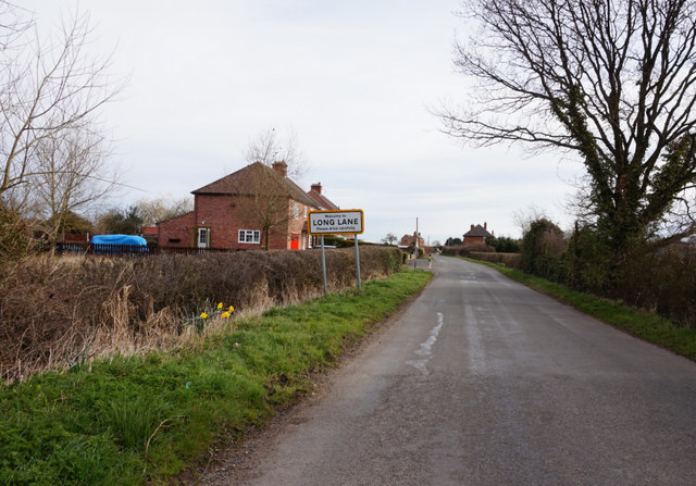
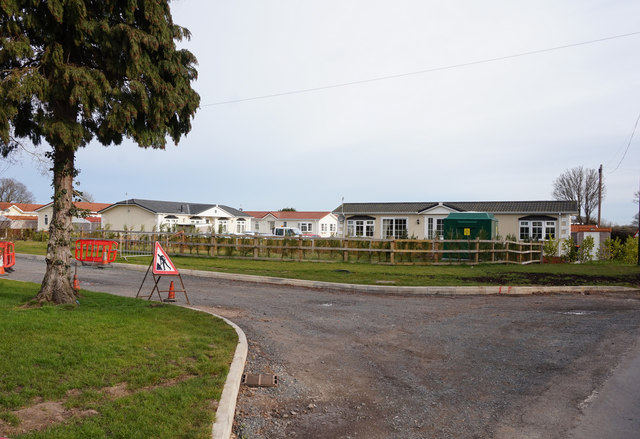
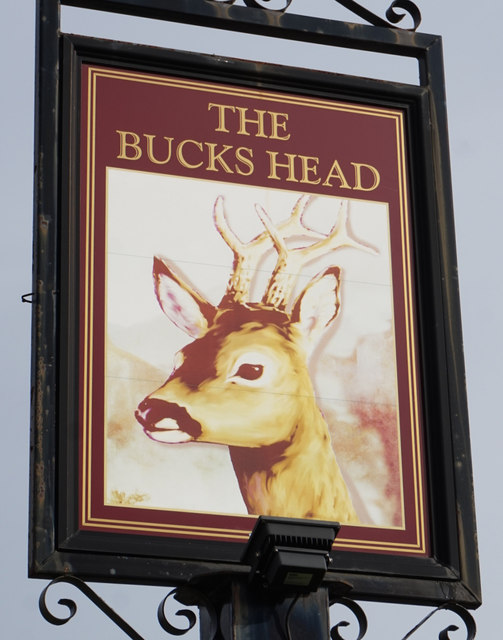
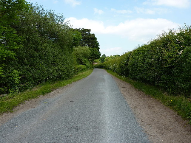
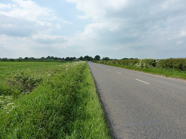
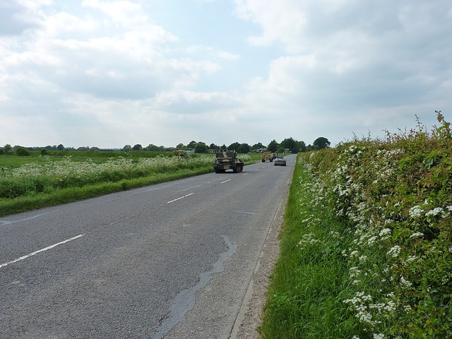
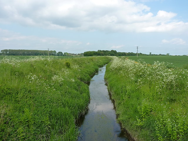
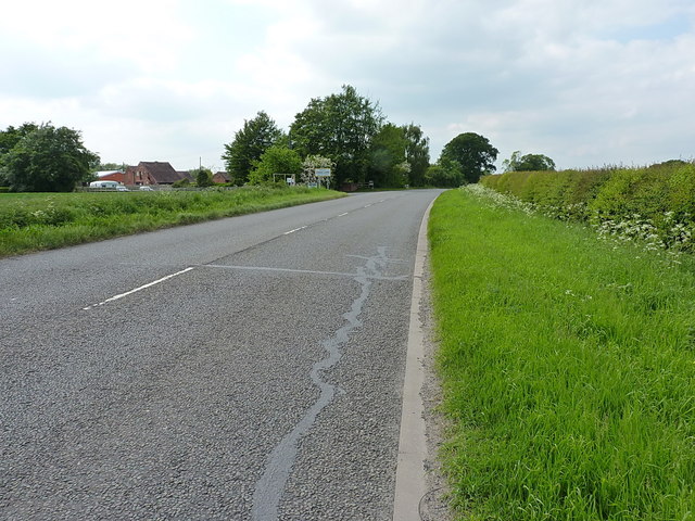
Old Rookery Images

Images are sourced within 2km of 52.739324/-2.526695 or Grid Reference SJ6415. Thanks to Geograph Open Source API. All images are credited.

Houses at Long Lane
Houses at Long Lane
Caravan site at Long Lane
The Bucks Head, Long Lane
Lane into Eyton upon the Weald Moors Coming into the village from the Shawbirch direction; this lane becomes a dead end just the other side of the church at the former Shrewsbury canal crossing beside <a href="https://www.geograph.org.uk/photo/999419">SJ6515 : Canal cottage at Eyton Moors</a>
Lane into Eyton upon the Weald Moors
Coming into the village from the Shawbirch direction; this lane becomes a dead end just the other side of the church at the former Shrewsbury canal crossing beside SJ6515 : Canal cottage at Eyton Moors
Narrow lane into Eyton on the Weald Moors
Wheat in a field west of Eyton Arable land under this year's crop of wheat, or possibly barley - it's hard for the layman to tell at this stage.
Wheat in a field west of Eyton
Arable land under this year's crop of wheat, or possibly barley - it's hard for the layman to tell at this stage.
Crossroads on the A442 The A442 is one of the main drags north out of Telford, leading to Hodnet and thence on into Cheshire. The side roads here head off left to Shawbirch, and right into the tiny village of Eyton upon the Weald Moors.
Crossroads on the A442
The A442 is one of the main drags north out of Telford, leading to Hodnet and thence on into Cheshire. The side roads here head off left to Shawbirch, and right into the tiny village of Eyton upon the Weald Moors.
A442 south towards Telford
OS benchmark - Long Lane, bridge over a field drain An OS cutmark on the parapet wall of a low bridge carrying the A442 over a small drain; originally levelled in 1958 at 58.836m above Ordnance Datum Newlyn.
OS benchmark - Long Lane, bridge over a field drain
An OS cutmark on the parapet wall of a low bridge carrying the A442 over a small drain; originally levelled in 1958 at 58.836m above Ordnance Datum Newlyn.
A442 just south of Long Lane
Arable land near Long Lane Flat fields in the area between Long Lane and Bratton, with The Wrekin visible in the distance.
Arable land near Long Lane
Flat fields in the area between Long Lane and Bratton, with The Wrekin visible in the distance.
South of Long Lane Flat countryside, planted with this year's crop, just south of Long Lane
South of Long Lane
Flat countryside, planted with this year's crop, just south of Long Lane
The A442 leading to Long Lane This straight has a reputation for being something of a race-track, as visibility is good up and down the road. It makes for an 'entertaining' place to walk, as there is no footway.
The A442 leading to Long Lane
This straight has a reputation for being something of a race-track, as visibility is good up and down the road. It makes for an 'entertaining' place to walk, as there is no footway.
Out for a drive, in our little tanks As the dog and I walked up the A442, a strange rumbling came up behind us. It turned out to be three tracked personnel carriers, heading up the road towards Long Lane - I wasn't quick enough to picture them approaching, but caught them after they'd passed me. They may have been on their way back to the barracks at Tern Hill, or they may have belonged to local enthusiasts of military hardware, as GKN, later acquired by the Alvis company, manufactured a number of such vehicles at its nearby Hadley Castle works.
Out for a drive, in our little tanks
As the dog and I walked up the A442, a strange rumbling came up behind us. It turned out to be three tracked personnel carriers, heading up the road towards Long Lane - I wasn't quick enough to picture them approaching, but caught them after they'd passed me. They may have been on their way back to the barracks at Tern Hill, or they may have belonged to local enthusiasts of military hardware, as GKN, later acquired by the Alvis company, manufactured a number of such vehicles at its nearby Hadley Castle works.
Field drain near Long Lane A substantial stream taking water out of the flat, peaty marshland of the Weald Moors.
Field drain near Long Lane
A substantial stream taking water out of the flat, peaty marshland of the Weald Moors.
By Long Lane Farm On the A442 just south of Long Lane.
By Long Lane Farm
On the A442 just south of Long Lane.
A short stretch of the Old Road at Long Lane The original line of the A442 through the village, now bypassed by re-alignment of the road; this loop uses the bridge in <a href="https://www.geograph.org.uk/photo/57155">SJ6315 : Disused Shropshire Union Canal - Shrewsbury Branch</a> to cross what remains of the canal.
A short stretch of the Old Road at Long Lane
The original line of the A442 through the village, now bypassed by re-alignment of the road; this loop uses the bridge in SJ6315 : Disused Shropshire Union Canal - Shrewsbury Branch to cross what remains of the canal.
Show me another place!

Old Rookery is located at Grid Ref: SJ6415 (Lat: 52.739324, Lng: -2.526695)

Unitary Authority: Telford and Wrekin

Police Authority: West Mercia

What 3 Words

///motor.cultivation.blueberry. Near Eyton upon the Weald Moors, Shropshire

Related Wikis

RAF Bratton

Royal Air Force Bratton or more simply RAF Bratton is a former Royal Air Force station located at Bratton, Shropshire, England. The following units were...

Eyton upon the Weald Moors

Eyton is a village and civil parish in Shropshire, England on the south-west edge of the Weald Moors, north of Wellington. Naturalist Thomas Campbell Eyton...

Bratton, Shropshire

Bratton is a settlement in the English county of Shropshire, originally a rural village, now partly suburban. The population in 2011 was 230. == Geography... ==

Longdon Halt railway station

Longdon Halt railway station was a station in Longdon-on-Tern, Shropshire, England. The station was opened in 1934 and closed in 1963. There were two short...

Have you been to Old Rookery?

Leave your review of Old Rookery below (or comments, questions and feedback).