Stanworth Woods
Wood, Forest in Lancashire
England
Stanworth Woods
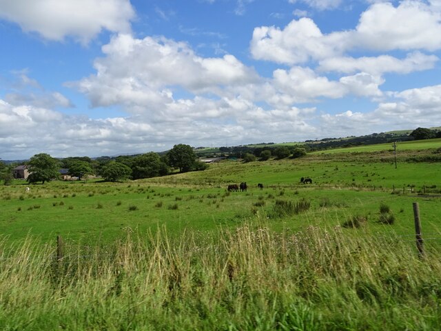
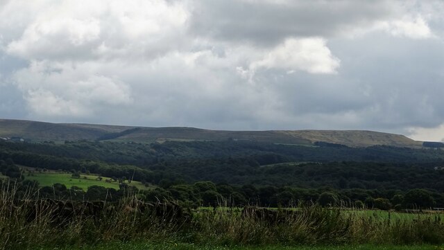
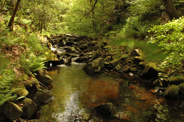
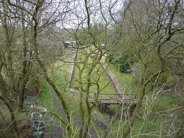
Stanworth Woods, located in Lancashire, is a picturesque woodland area renowned for its natural beauty and tranquil atmosphere. Spanning over a vast area, the woods are home to a diverse range of flora and fauna, making it a popular destination for nature enthusiasts and hikers alike.
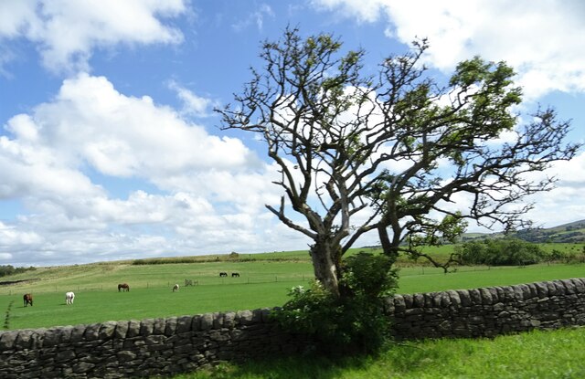
The woods are characterized by a dense canopy of trees, predominantly consisting of oak, beech, and birch species. This creates a vibrant and colorful landscape throughout the year, with vibrant greens in the spring and summer, and golden hues in the autumn. The woodland floor is adorned with a carpet of wildflowers, adding to its charm.
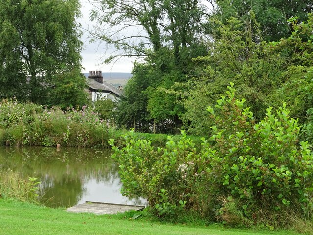
Numerous walking trails crisscross the woods, offering visitors the opportunity to explore its various nooks and crannies. These trails cater to different levels of difficulty, ensuring there is something for everyone. Along the way, visitors may come across ancient trees, hidden streams, and small ponds, adding an element of wonder to their journey.
The woods are also home to a rich wildlife population. Birdwatchers can spot a variety of species, including woodpeckers, owls, and songbirds, while small mammals like squirrels and rabbits frequent the undergrowth. The woods provide a sanctuary for these animals, acting as an important habitat for their survival.
Stanworth Woods offers a peaceful escape from the hustle and bustle of everyday life, inviting visitors to connect with nature and enjoy its tranquility. Whether it's a leisurely stroll, a picnic under the trees, or simply immersing oneself in the natural surroundings, the woods offer a truly enchanting experience for all who visit.
If you have any feedback on the listing, please let us know in the comments section below.
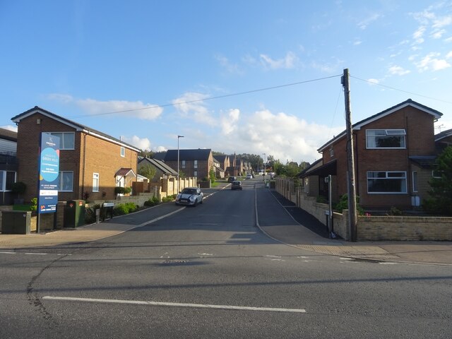
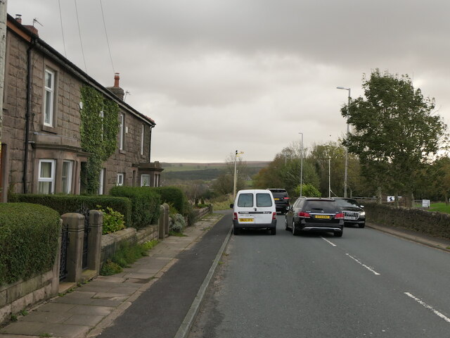
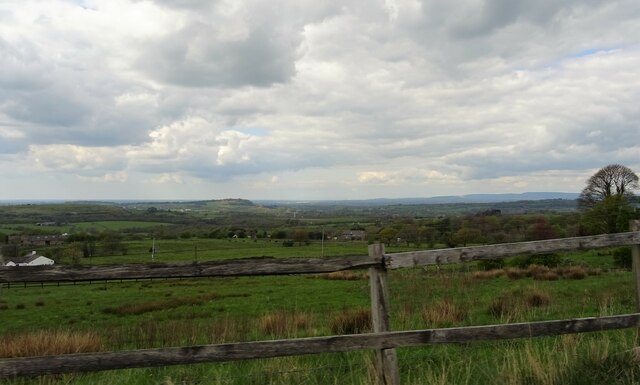
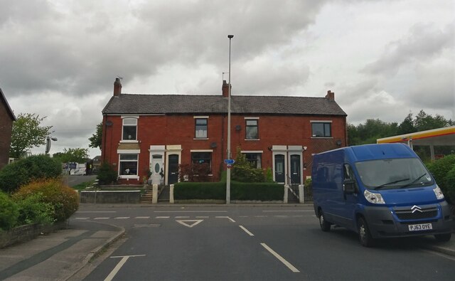
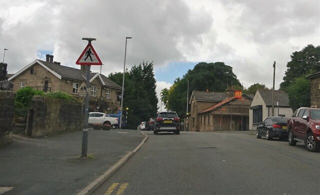
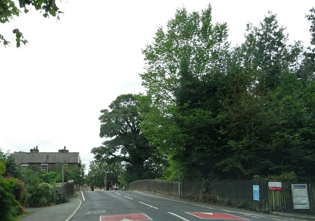
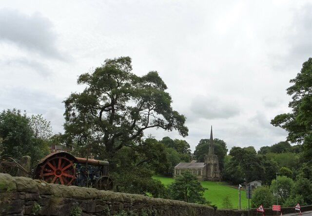
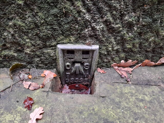
Stanworth Woods Images
Images are sourced within 2km of 53.716141/-2.5389168 or Grid Reference SD6424. Thanks to Geograph Open Source API. All images are credited.


Stanworth Woods is located at Grid Ref: SD6424 (Lat: 53.716141, Lng: -2.5389168)
Unitary Authority: Blackburn with Darwen
Police Authority: Lancashire
What 3 Words
///drip.locker.soon. Near Brinscall, Lancashire
Related Wikis

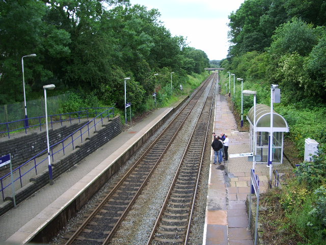
Feniscowles railway station
Feniscowles railway station was a railway station that served the village of Feniscowles, in Blackburn with Darwen in Lancashire, England. == History... ==
River Roddlesworth
The River Roddlesworth (also known as Rocky Brook) is a river in Lancashire, England, a tributary of the River Darwen. == Course == The source of the river...

Feniscowles
Feniscowles is a village in the unitary authority of Blackburn with Darwen, Lancashire, England. It lies approximately 3 miles (4.8 km) west of Blackburn...
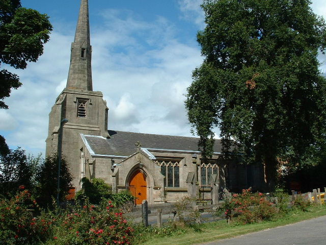
Immanuel Church, Feniscowles
Immanuel Church is in the village of Feniscowles, near Blackburn, Lancashire, England. It is an active Anglican parish church in the deanery of Blackburn...

Abbey Village Reservoir
The reservoir north of Abbey Village on the River Roddlesworth - known as Close House Reservoir - is the latest addition to the reservoirs around this...

Livesey
Livesey is a civil parish in the unitary borough of Blackburn with Darwen, in the ceremonial county of Lancashire, England. The population of the civil...
Pleasington railway station
Pleasington railway station serves the village of Pleasington in Lancashire, England. The station is on the East Lancashire Line 3 miles (5 km) west of...
Withnell railway station
Withnell railway station was a railway station that served Abbey Village and Withnell, in Lancashire, England. == History == The station was opened by...
Nearby Amenities
Located within 500m of 53.716141,-2.5389168Have you been to Stanworth Woods?
Leave your review of Stanworth Woods below (or comments, questions and feedback).