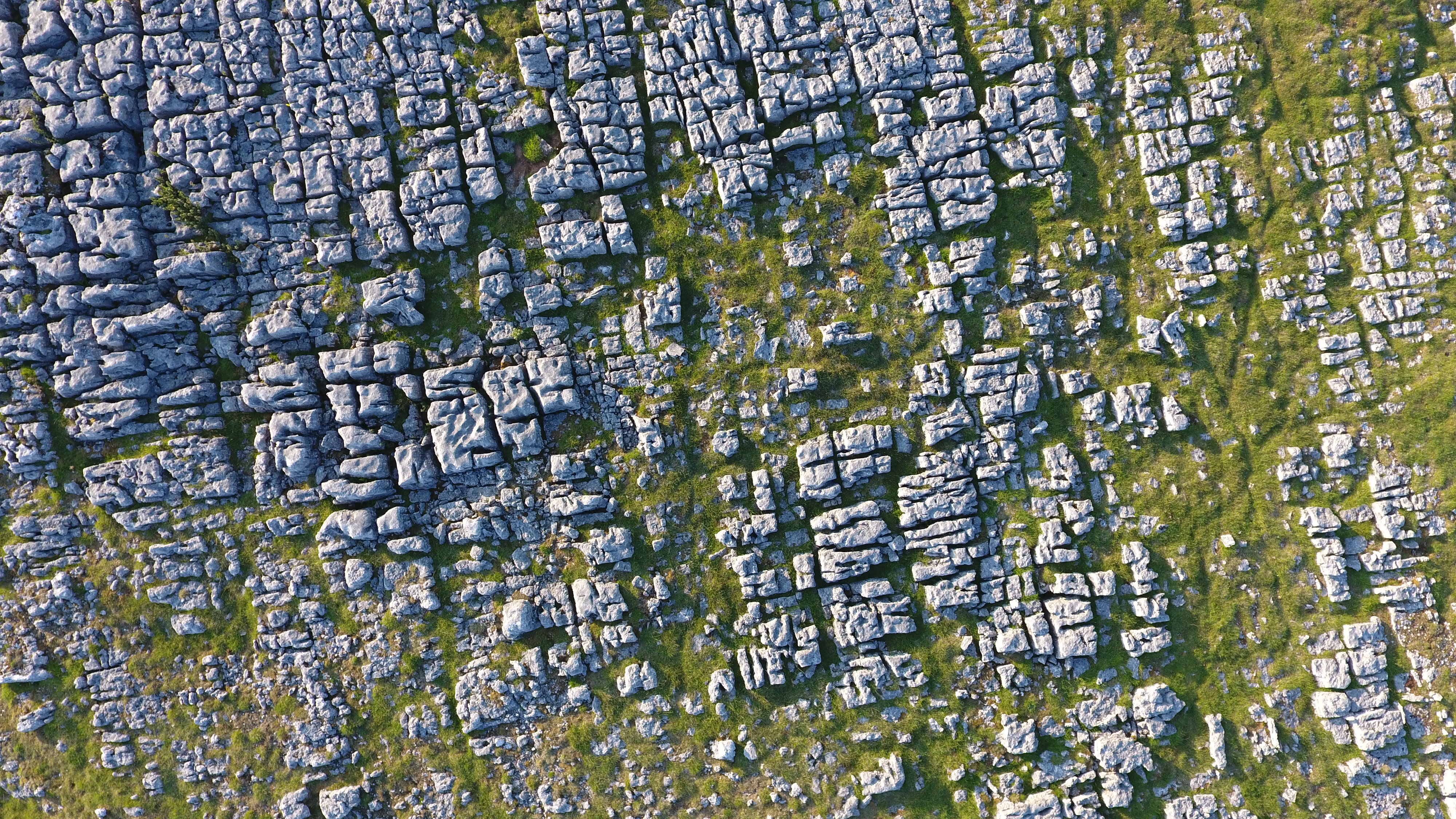
Westgill Wood

Wood, Forest in Westmorland Eden

England

Westgill Wood
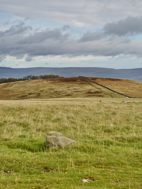
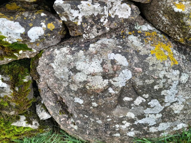
Boulder at path junction
Boulder at path junction Credit: Mick Garratt

The requested URL returned error: 429 Too Many Requests

If you have any feedback on the listing, please let us know in the comments section below.

Westgill Wood Images

Images are sourced within 2km of 54.509907/-2.5491931 or Grid Reference NY6412. Thanks to Geograph Open Source API. All images are credited.
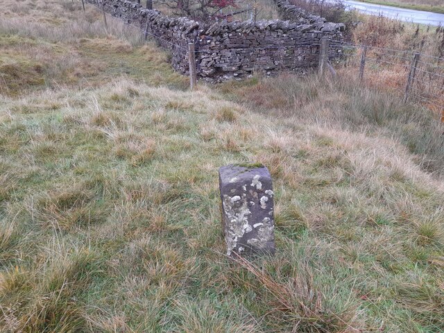
Boulder at path junction
Linglow Hill
Linglow Hill
Boundary Stone The Ordnance Survey pivot marks a point 290.454m above mean sea level.
Boundary Stone
The Ordnance Survey pivot marks a point 290.454m above mean sea level.
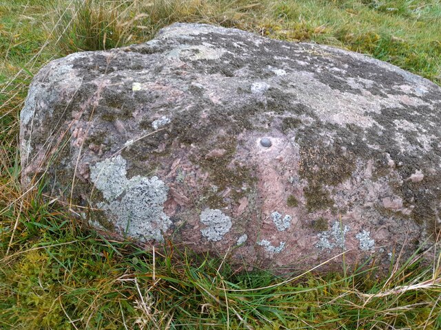
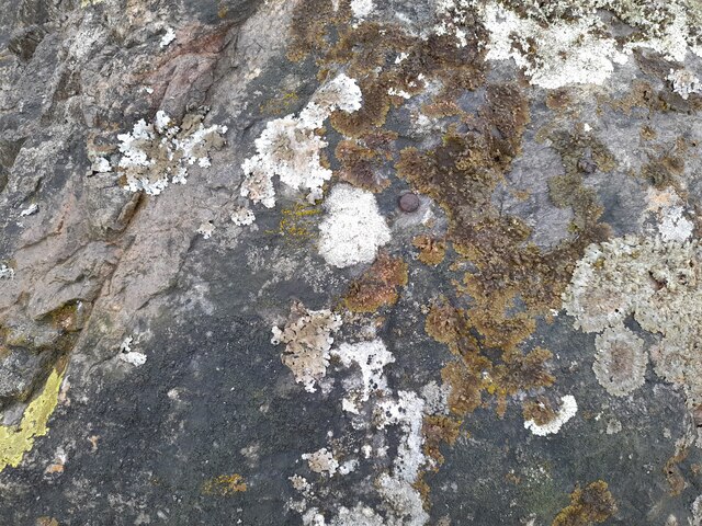
Ordnance Survey Rivet This OS rivet can be found on the boulder west side of the road. It marks a point 309.181m above mean sea level.
Ordnance Survey Rivet
This OS rivet can be found on the boulder west side of the road. It marks a point 309.181m above mean sea level.
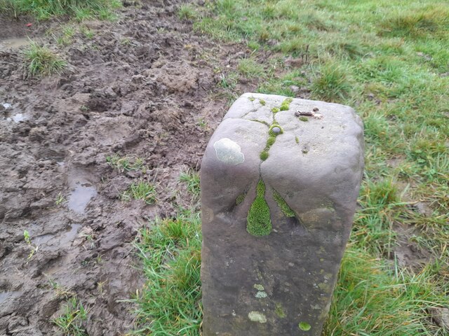
Boundary Stone The Ordnance Survey rivet on the top of the stone marks a point 310.271m above mean sea level.
Boundary Stone
The Ordnance Survey rivet on the top of the stone marks a point 310.271m above mean sea level.
Ordnance Survey Rivet This OS rivet can be found on the wall NW side of the road. It marks a point 301.603m above mean sea level.
Ordnance Survey Rivet
This OS rivet can be found on the wall NW side of the road. It marks a point 301.603m above mean sea level.
Ordnance Survey Rivet This OS rivet can be found on the boulder NW side of the road. It marks a point 289.490m above mean sea level.
Ordnance Survey Rivet
This OS rivet can be found on the boulder NW side of the road. It marks a point 289.490m above mean sea level.
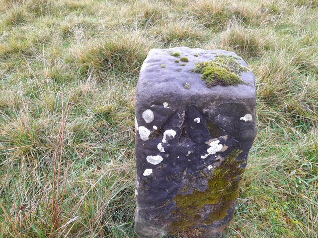
Old Boundary Marker beside the B6260 in Crosby Ravensworth Estate Boundary Marker in a pasture west of the B6260 and Maskriggs Wood. Inscribed B & R, and probably C R similar to WE_CRR03em, see <a title="https://www.geograph.org.uk/photo/6462527" href="https://www.geograph.org.uk/photo/6462527">Link</a>. See also <a title="https://www.geograph.org.uk/photo/7641917" href="https://www.geograph.org.uk/photo/7641917">Link</a>.

Although both these markers are now in Crosby Ravensworth parish, they were until 1935 on the boundary of that parish and Bank Moor, which was common to both Crosby Ravensworth and Asby parishes. C R almost certainly references Crosby Ravensworth but B & R has been taken to refer to the those who held rights on the moor, of which the right of pasture is the most obvious. 

Milestone Society National ID: WE_CRR04em
Old Boundary Marker beside the B6260 in Crosby Ravensworth
Estate Boundary Marker in a pasture west of the B6260 and Maskriggs Wood. Inscribed B & R, and probably C R similar to WE_CRR03em, see Link. See also Link. Although both these markers are now in Crosby Ravensworth parish, they were until 1935 on the boundary of that parish and Bank Moor, which was common to both Crosby Ravensworth and Asby parishes. C R almost certainly references Crosby Ravensworth but B & R has been taken to refer to the those who held rights on the moor, of which the right of pasture is the most obvious. Milestone Society National ID: WE_CRR04em
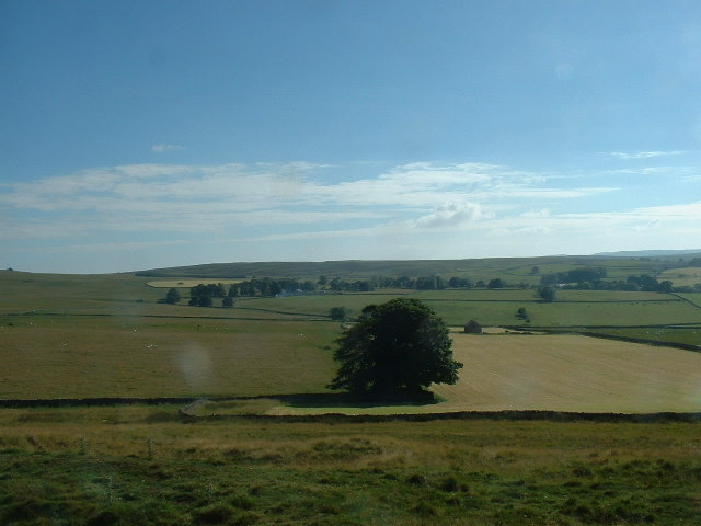
Bank Moor, near Orton Looking southwest
Bank Moor, near Orton
Looking southwest
Bank Moor, near Orton Looking east towards Marksclose Wood
Bank Moor, near Orton
Looking east towards Marksclose Wood
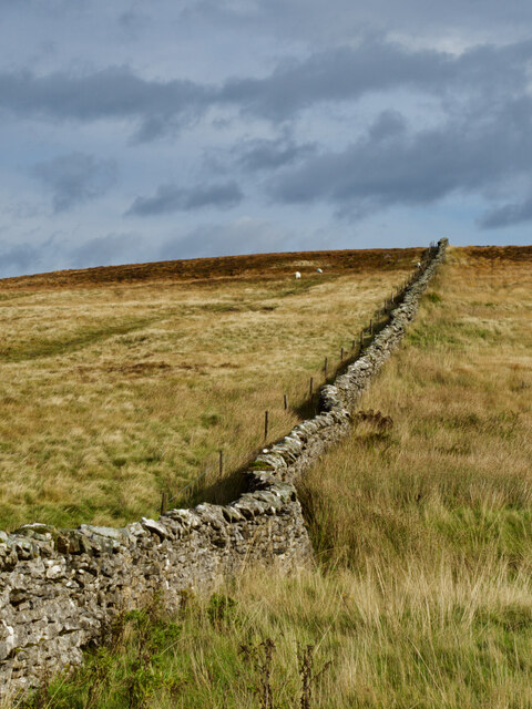
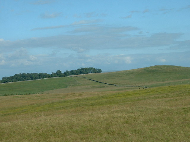
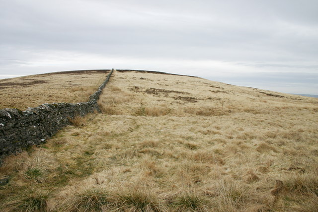
Linglow Hill The drystone wall runs dead straight for approximately 2km. Linglow is pronounced locally as "Lingluh"
Linglow Hill
The drystone wall runs dead straight for approximately 2km. Linglow is pronounced locally as "Lingluh"
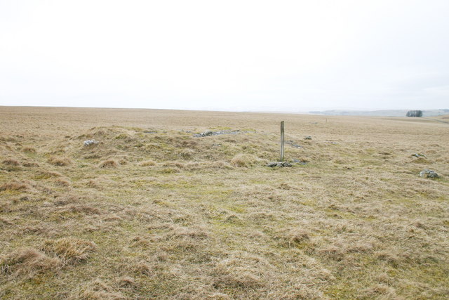
Tumuli on Gaythorn Plain They're called "Cairns" on the most recent OS map. This upland plain IS very plain, and extremely difficult to navigate in poor visibility.
Tumuli on Gaythorn Plain
They're called "Cairns" on the most recent OS map. This upland plain IS very plain, and extremely difficult to navigate in poor visibility.
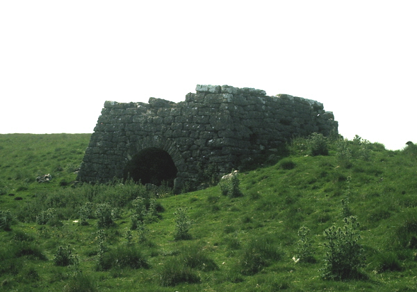
Lime Kiln near Blasterfield Farm Lime Kiln just off the Orton - Appleby Road near Blasterfield Farm.
Lime Kiln near Blasterfield Farm
Lime Kiln just off the Orton - Appleby Road near Blasterfield Farm.
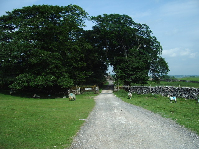
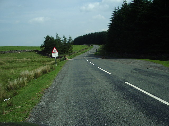
The Road to Blasterfield Farm
Cattle Grid This is where the B6260 becomes a walled road again after crossing open moorland since Orton Scar
Cattle Grid
This is where the B6260 becomes a walled road again after crossing open moorland since Orton Scar
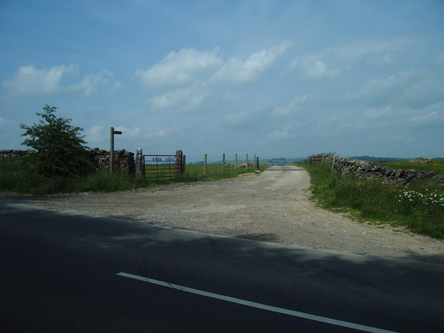
The entrance to Bank Head Farm
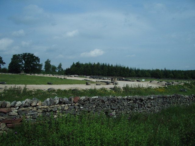
Race Track Is it a grave yard for tyres or the utilisation of tyres in using them to provide a safe perimeter fence?
Race Track
Is it a grave yard for tyres or the utilisation of tyres in using them to provide a safe perimeter fence?
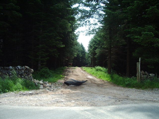
Woodland track It looks as if somebody needs another wheel arch after the demolition job they did to the wall.
Woodland track
It looks as if somebody needs another wheel arch after the demolition job they did to the wall.
Show me another place!

Westgill Wood is located at Grid Ref: NY6412 (Lat: 54.509907, Lng: -2.5491931)

Administrative County: Cumbria

District: Eden

Police Authority: Cumbria

What 3 Words

///corkscrew.position.domain. Near Appleby-in-Westmorland, Cumbria

Related Wikis

Westmorland

Westmorland (, formerly also spelt Westmoreland) was a county in North West England which occupied the southern Lake District and the southern Vale of...

Orton Fells

The Orton Fells is an upland area in Northern England, mostly consisting of limestone hills, plateaus and moorlands. Historically in Westmorland, the area...

Crosby Ravensworth

Crosby Ravensworth is a village and civil parish in the Eden district of Cumbria, England. The village is about 4 miles (6.4 km) east of the M6 motorway...

St Lawrence's Church, Crosby Ravensworth

St Lawrence's Church is in the village of Crosby Ravensworth, Cumbria, England. It is an active Anglican parish church in the deanery of Appleby, the...

Nearby Amenities

Located within 500m of 54.509907,-2.5491931
Access: yes
Barrier: cattle_grid
Lat/Long: 54.5082424/-2.5473394
Power: pole
Lat/Long: 54.5061888/-2.5535474
Power: pole
Lat/Long: 54.5062783/-2.5519794
Power: pole
Lat/Long: 54.5068489/-2.550965
Power: pole
Lat/Long: 54.5074229/-2.549919
Power: pole
Lat/Long: 54.5079935/-2.5488987
Power: pole
Lat/Long: 54.5088511/-2.5481156
Power: pole
Lat/Long: 54.509665/-2.547386
Power: pole
Lat/Long: 54.5104789/-2.5466603
Power: pole
Lat/Long: 54.5109875/-2.5457013
Power: pole
Lat/Long: 54.5114902/-2.5447205
Power: pole
Lat/Long: 54.5120126/-2.5436962
The data included in this document is from www.openstreetmap.org. The data is made available under ODbL.

Have you been to Westgill Wood?

Leave your review of Westgill Wood below (or comments, questions and feedback).