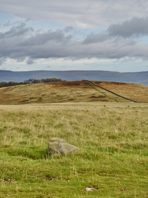
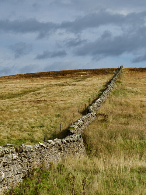
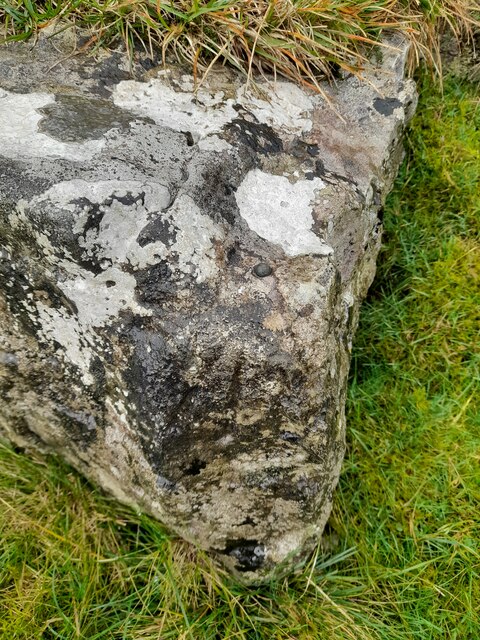
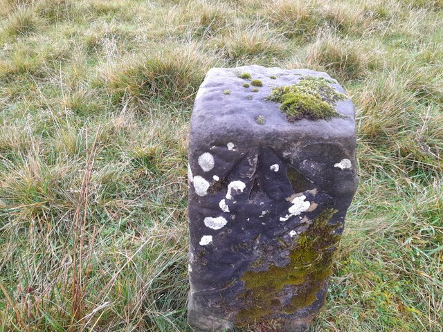
Westgill Hill
Hill, Mountain in Westmorland Eden
England
Westgill Hill
The requested URL returned error: 429 Too Many Requests
If you have any feedback on the listing, please let us know in the comments section below.
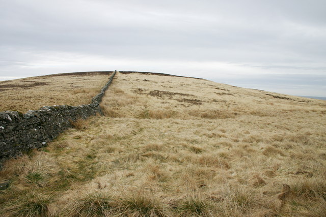
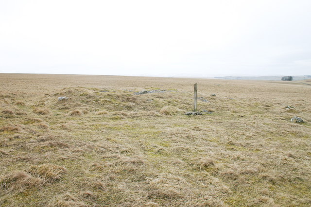
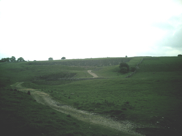
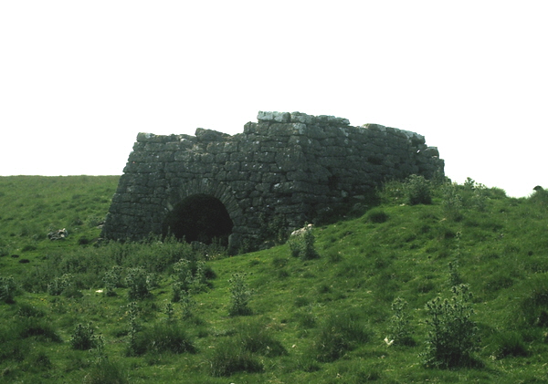
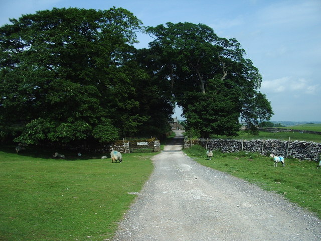
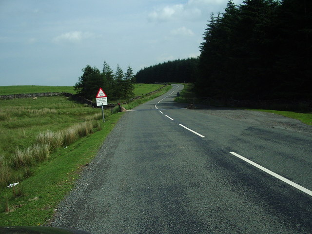
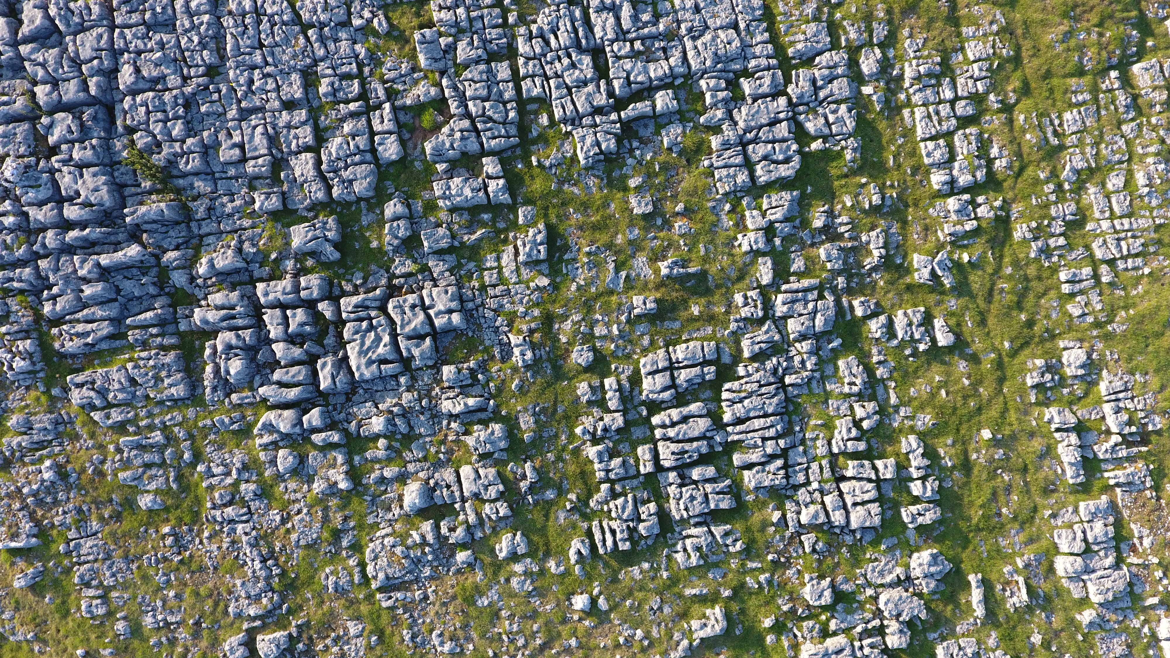
Westgill Hill Images
Images are sourced within 2km of 54.507544/-2.554891 or Grid Reference NY6412. Thanks to Geograph Open Source API. All images are credited.
Westgill Hill is located at Grid Ref: NY6412 (Lat: 54.507544, Lng: -2.554891)
Administrative County: Cumbria
District: Eden
Police Authority: Cumbria
What 3 Words
///strut.crabmeat.gestures. Near Shap, Cumbria
Nearby Locations
Related Wikis

Westmorland
Westmorland (, formerly also spelt Westmoreland) was a county in North West England which occupied the southern Lake District and the southern Vale of...
Orton Fells
The Orton Fells is an upland area in Northern England, mostly consisting of limestone hills, plateaus and moorlands. Historically in Westmorland, the area...

Crosby Ravensworth
Crosby Ravensworth is a village and civil parish in the Eden district of Cumbria, England. The village is about 4 miles (6.4 km) east of the M6 motorway...

St Lawrence's Church, Crosby Ravensworth
St Lawrence's Church is in the village of Crosby Ravensworth, Cumbria, England. It is an active Anglican parish church in the deanery of Appleby, the...
Nearby Amenities
Located within 500m of 54.507544,-2.554891Have you been to Westgill Hill?
Leave your review of Westgill Hill below (or comments, questions and feedback).