Belling Hill

Hill, Mountain in Roxburghshire

Scotland

Belling Hill

Forest clearing in Belling Hill plantation near Jedburgh Although heavily ridged for planting it has been left free of trees along the length of the Appletree Burn. A little scouting reveals a faint path along the tree line which minimizes the hindrance of these ridges. As Spring comes on this will be harder to spot in the bracken.
Forest clearing in Belling Hill plantation near Jedburgh Credit: ian shiell

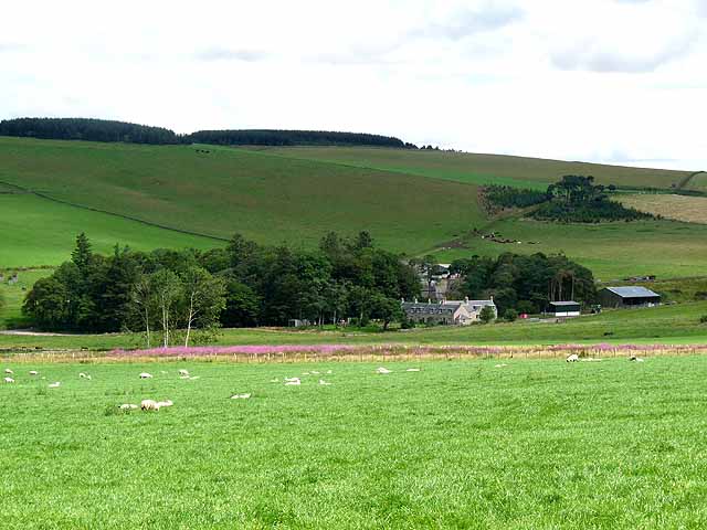
Belling Hill is a prominent hill located in the county of Roxburghshire, in the Scottish Borders region of Scotland. With an elevation of approximately 618 meters (2,028 feet), it stands as a notable landmark in the area.

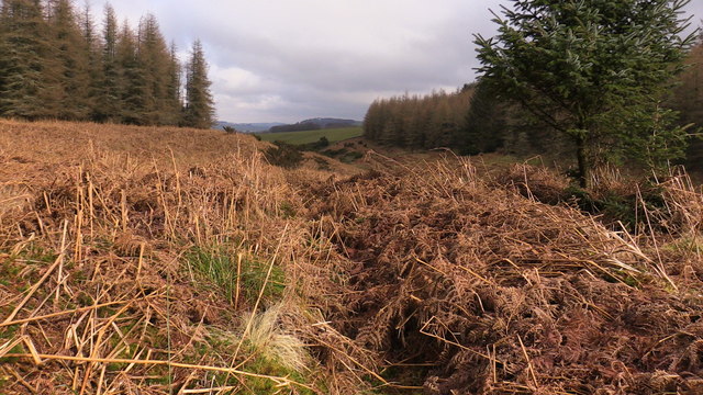
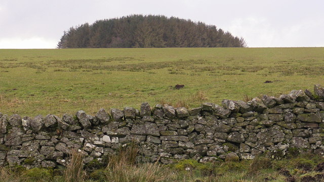
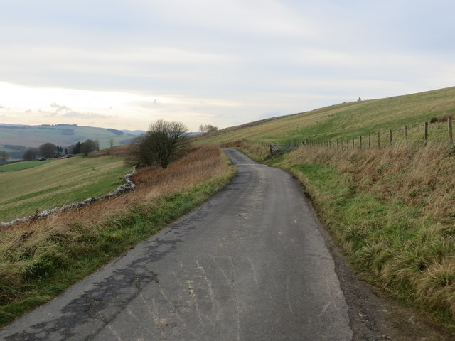
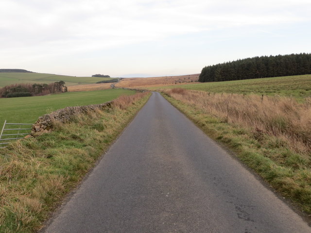
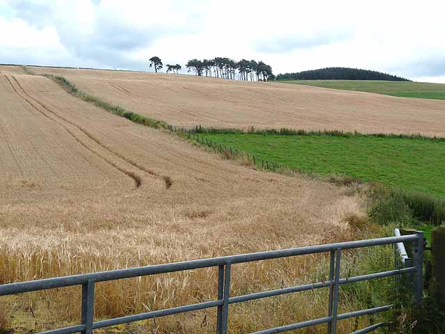
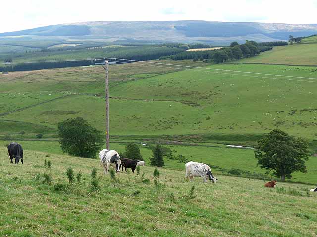
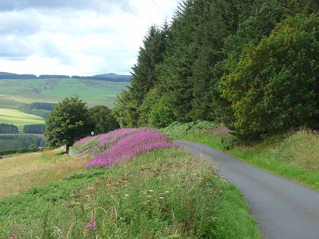
Situated near the town of Hawick, Belling Hill offers stunning panoramic views of the surrounding countryside. The hill is covered in heather and grass, creating a picturesque landscape that attracts many visitors, particularly hikers and nature enthusiasts.

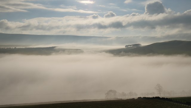
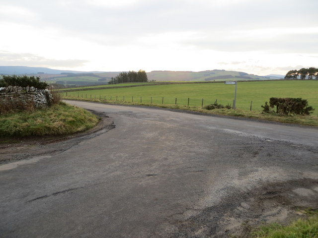
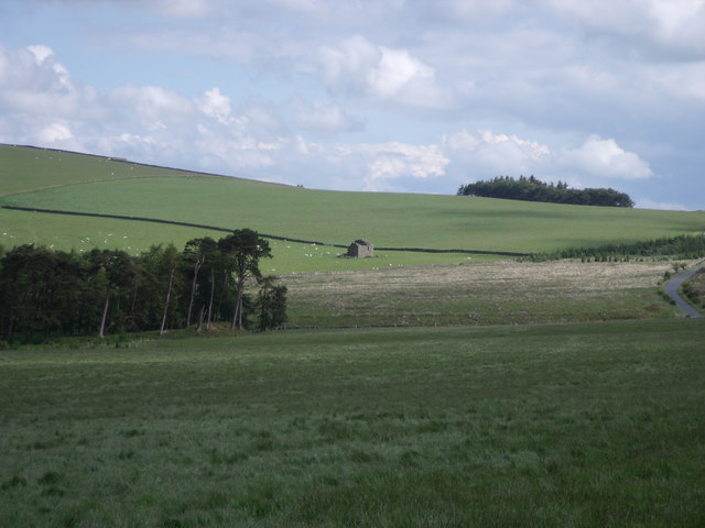
The summit of Belling Hill provides a vantage point to admire the sprawling valleys and rolling hills of Roxburghshire. On clear days, it is possible to see as far as the Cheviot Hills and the English border.

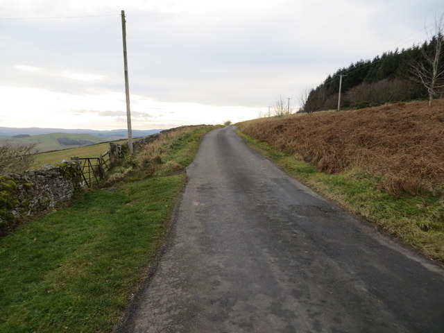
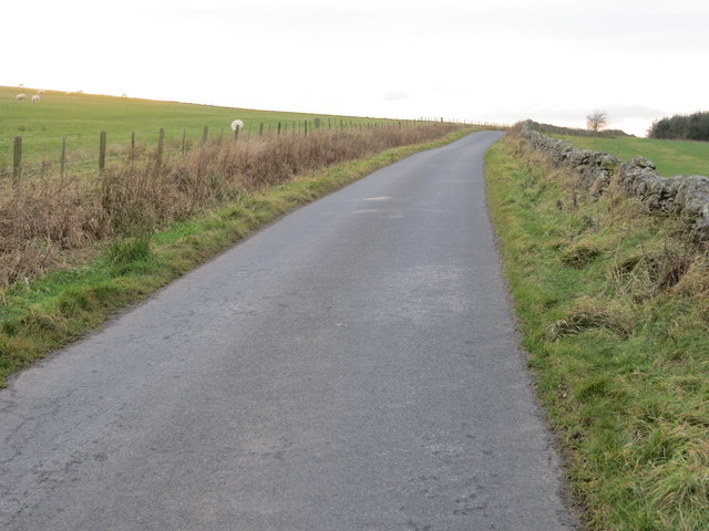
The hill is accessible via a network of footpaths and trails, making it an ideal destination for both experienced hikers and casual walkers. There are several routes to reach the summit, offering varying levels of difficulty. Along the way, walkers may encounter diverse wildlife, including birds of prey and deer.

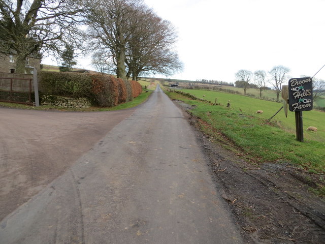
Belling Hill is part of the wider natural beauty found in the Scottish Borders, which is known for its rugged landscapes and historic sites. The area surrounding the hill is rich in history, with ancient ruins and castles dotting the countryside.

Overall, Belling Hill stands as a remarkable natural feature in Roxburghshire, offering visitors the opportunity to explore its scenic beauty and experience the tranquility of the Scottish countryside.

If you have any feedback on the listing, please let us know in the comments section below.

Belling Hill Images

Images are sourced within 2km of 55.398999/-2.5671424 or Grid Reference NT6411. Thanks to Geograph Open Source API. All images are credited.

Forest clearing in Belling Hill plantation near Jedburgh Although heavily ridged for planting it has been left free of trees along the length of the Appletree Burn. A little scouting reveals a faint path along the tree line which minimizes the hindrance of these ridges. As Spring comes on this will be harder to spot in the bracken.
Forest clearing in Belling Hill plantation near Jedburgh
Although heavily ridged for planting it has been left free of trees along the length of the Appletree Burn. A little scouting reveals a faint path along the tree line which minimizes the hindrance of these ridges. As Spring comes on this will be harder to spot in the bracken.
Shelter plantation west of Appletree Burn on Mervinslaw near Jedburgh
Valley fog at Falside An image captured on a fine November morning near Chesters.
Valley fog at Falside
An image captured on a fine November morning near Chesters.
Minor road in part of Mervinslaw and Falside Forest Looking north-eastward.
Minor road in part of Mervinslaw and Falside Forest
Looking north-eastward.
Minor road passing through part of Mervinslaw and Falside Forest Looking south-westward.
Minor road passing through part of Mervinslaw and Falside Forest
Looking south-westward.
Minor road at Pinkiesburn Cottage Looking south-westward.
Minor road at Pinkiesburn Cottage
Looking south-westward.
Minor road at the western end of Mervinslaw and Falside Forest Looking westward.
Minor road at the western end of Mervinslaw and Falside Forest
Looking westward.
Minor road at Broomhills Farm Looking north-eastward.
Minor road at Broomhills Farm
Looking north-eastward.
Junction of roads at Coatlaw Plantation Looking south-westward.
Junction of roads at Coatlaw Plantation
Looking south-westward.
Minor road heading towards Coatlaw Plantation Looking south-westward.
Minor road heading towards Coatlaw Plantation
Looking south-westward.
Minor road near Belling Covert Looking north-eastward.
Minor road near Belling Covert
Looking north-eastward.
Southdean Church - the interior Southdean Kirk, opened in 1876, is the latest in a line of churches which could back as far as the 8th. - 9th. century. An old story from Southdean Parish was of the Borders Reivers having a son baptised in a font which could immerse the whole body of the baby. The reiver would always request of the vicar not to baptise the boy's right arm - that would be carrying out 'some develish deeds in the future'. The reivers, when not fighting the English, fought amongst themselves. Southdean Church only opens for up to six services a year.
Southdean Church - the interior
Southdean Kirk, opened in 1876, is the latest in a line of churches which could back as far as the 8th. - 9th. century. An old story from Southdean Parish was of the Borders Reivers having a son baptised in a font which could immerse the whole body of the baby. The reiver would always request of the vicar not to baptise the boy's right arm - that would be carrying out 'some develish deeds in the future'. The reivers, when not fighting the English, fought amongst themselves. Southdean Church only opens for up to six services a year.
Kilnsike Tower ruin
Kilnsike Tower ruin
Fields of barley, near Chesters A small copse of Scots pines crowns the spur. Beyond, to the right, is the western edge of Mervinslaw and Falside Forest.
Fields of barley, near Chesters
A small copse of Scots pines crowns the spur. Beyond, to the right, is the western edge of Mervinslaw and Falside Forest.
Westerhouses Farm In a valley at the head of the Rule Water.
Westerhouses Farm
In a valley at the head of the Rule Water.
Valley of the Black Burn The main headwater of the Jed Water. Seen from Broomhills Farm. The hills on the skyline stand on the Border.
Valley of the Black Burn
The main headwater of the Jed Water. Seen from Broomhills Farm. The hills on the skyline stand on the Border.
Valley of the Black Burn The main headwater of the Jed Water. In the middle distance can be seen part of Wauchope Forest. Carter Fell <a href="https://www.geograph.org.uk/gridref/NT6805">NT6805</a> on the Border occupies the skyline.
Valley of the Black Burn
The main headwater of the Jed Water. In the middle distance can be seen part of Wauchope Forest. Carter Fell NT6805 on the Border occupies the skyline.
Minor road above Chesters Leading steeply down into the valley of the Black Burn. The wood is part of Mervinslaw and Falside Forest. A bank of rosebay willow herb flanks the road.
Minor road above Chesters
Leading steeply down into the valley of the Black Burn. The wood is part of Mervinslaw and Falside Forest. A bank of rosebay willow herb flanks the road.
Show me another place!

Belling Hill is located at Grid Ref: NT6411 (Lat: 55.398999, Lng: -2.5671424)

Unitary Authority: The Scottish Borders

Police Authority: The Lothians and Scottish Borders

What 3 Words

///choppy.undertook.troubles. Near Jedburgh, Scottish Borders

Nearby Locations

Belling Hill How Cleuch

Related Wikis

Southdean

Southdean is a hamlet in the Scottish Borders area of Scotland, on the A6088, by the Jed Water and in the Wauchope Forest area. Other settlements nearby...

Abbotrule

Abbotrule is a hamlet south of the B6357 road, in the Scottish Borders area of Scotland, on Rule Burn, east of the Rule Water. Places nearby include Bedrule...

Camptown, Scottish Borders

Camptown is a small settlement on the A68, in the Scottish Borders area of Scotland, 5m (8 km) south of Jedburgh, and the same distance south to Carter...

Bairnkine

Bairnkine is a hamlet on the Jed Water in the Scottish Borders area of Scotland, on the A68, south of Jedburgh. Other places nearby include Abbotrule,...

Edgerston

Edgerston is a village and an estate about 4 miles (6.4 km) north of the Anglo-Scottish border, and 8 miles (13 km) south of Jedburgh in the Scottish Borders...

Hallrule

Hallrule is a hamlet on the B6357 road, in the Scottish Borders area of Scotland, on the Rule Water, near Abbotrule, Bedrule Bonchester Bridge, Denholm...

Fulton Tower

Fulton Tower is a ruined 16th century tower house, about 4.5 miles (7.2 km) south west of Jedburgh, Scottish Borders, Scotland, and about 2 miles (3.2...

Bonchester Bridge

Bonchester Bridge (Scots Binster Brig) is a village in Roxburghshire, within the Scottish Borders area of Scotland, lying on the Rule Water, six miles...

Nearby Amenities

Located within 500m of 55.398999,-2.5671424
Belling Hill
Natural: peak
Lat/Long: 55.3991714/-2.5669185
Power: pole
Lat/Long: 55.395578/-2.5622049
Power: pole
Lat/Long: 55.3953906/-2.5630805
Power: pole
Lat/Long: 55.3950066/-2.5645321
The data included in this document is from www.openstreetmap.org. The data is made available under ODbL.

Have you been to Belling Hill?

Leave your review of Belling Hill below (or comments, questions and feedback).