Mellerstainhill Plantation
Wood, Forest in Berwickshire
Scotland
Mellerstainhill Plantation

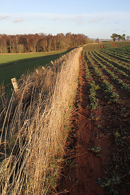
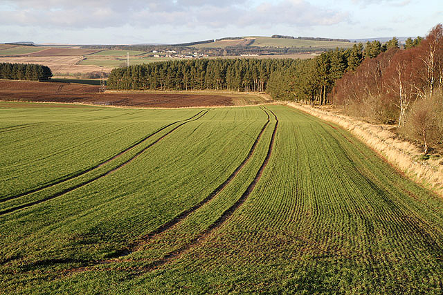
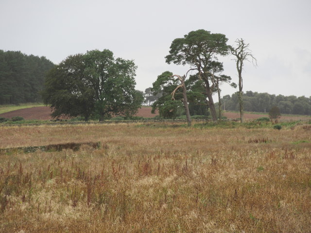
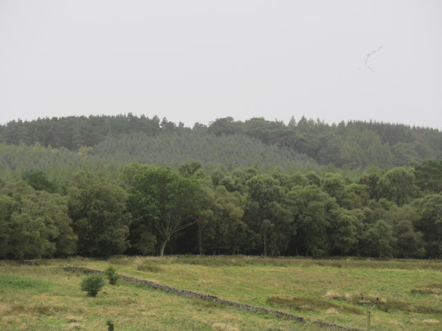
Mellerstainhill Plantation is a picturesque woodland located in Berwickshire, Scotland. Covering an area of approximately 200 acres, it is a thriving forest that offers a serene and tranquil escape for nature enthusiasts and hikers alike.
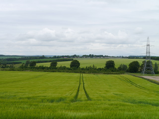
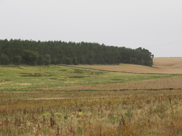
The plantation is predominantly composed of deciduous trees, including oak, beech, and birch, which create a vibrant and ever-changing landscape throughout the seasons. The dense canopy provides shelter for a diverse range of wildlife, including deer, foxes, and a variety of bird species.
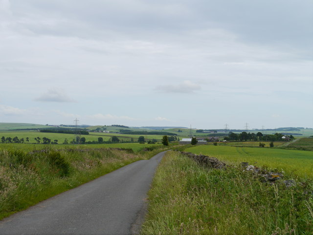
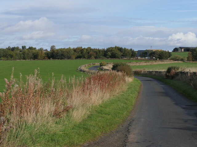
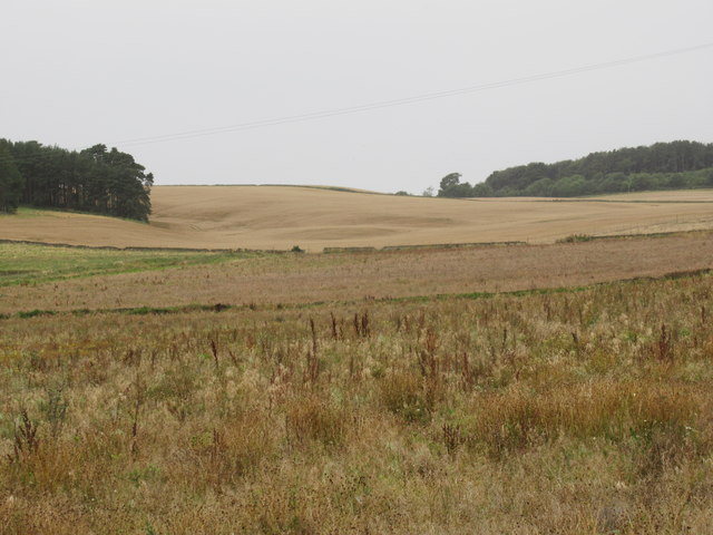
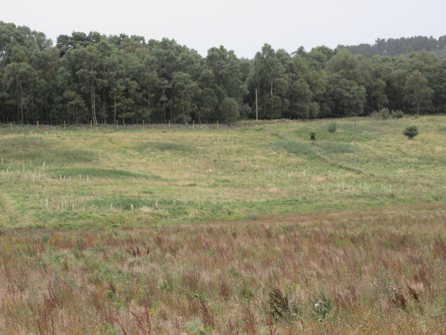
The forest is crisscrossed by a network of well-maintained trails, making it an ideal destination for those seeking outdoor activities. Hikers can explore the plantation's winding paths, enjoying the sights and sounds of nature along the way. The trails offer breathtaking views of the surrounding countryside, with glimpses of rolling hills and distant valleys.
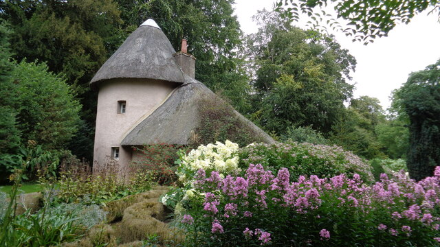
Mellerstainhill Plantation is also home to a number of historic features, adding to its charm and intrigue. The remains of an old stone cottage can be found nestled among the trees, providing a glimpse into the region's past. Additionally, the plantation is dotted with remnants of ancient boundary walls, further enhancing the sense of history and heritage.
Visitors to Mellerstainhill Plantation can expect a peaceful and enchanting experience, immersing themselves in the beauty of nature. Whether it's a leisurely walk, bird-watching, or simply enjoying a picnic amidst the tranquility of the woodland, this forest is a hidden gem waiting to be explored.
If you have any feedback on the listing, please let us know in the comments section below.
Mellerstainhill Plantation Images
Images are sourced within 2km of 55.649127/-2.565637 or Grid Reference NT6439. Thanks to Geograph Open Source API. All images are credited.
Mellerstainhill Plantation is located at Grid Ref: NT6439 (Lat: 55.649127, Lng: -2.565637)
Unitary Authority: The Scottish Borders
Police Authority: The Lothians and Scottish Borders
What 3 Words
///alarming.elevates.interests. Near Earlston, Scottish Borders
Nearby Locations
Related Wikis

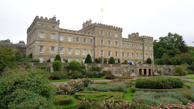
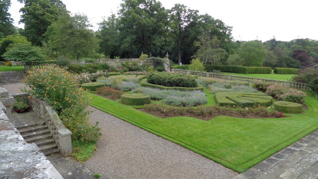
Mellerstain House
Mellerstain House is a stately home around 8 miles (13 kilometres) north of Kelso in the Borders, Scotland. It is currently the home of George Baillie...

Gordon Moss
Gordon Moss is a nature reserve near Gordon, in the Scottish Borders area of Scotland, in the former Berwickshire. The moss is situated one mile west of...

Greenknowe Tower
Greenknowe Tower is a 16th-century tower house, located just west of the village of Gordon, in the Scottish Borders. Although a roofless ruin, the stonework...

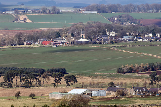
Gordon, Scottish Borders
Gordon is a village in the Scottish Borders area of Scotland, within the historic county of Berwickshire. The village sits on the crossroads of the A6105...

Smailholm
Smailholm (Scots: Smailhowm) is a small village in the historic county of Roxburghshire in south-east Scotland. It is at grid reference NT648364 and straddles...

Gordon (NBR) railway station
Gordon railway station served the village of Gordon, Scottish Borders, Scotland from 1863 to 1948 on the Berwickshire Railway. == History == The station...

Nenthorn
Nenthorn is a parish and hamlet in the south of the historic county of Berwickshire in the Scottish Borders area of Scotland. It is included in the Floors...
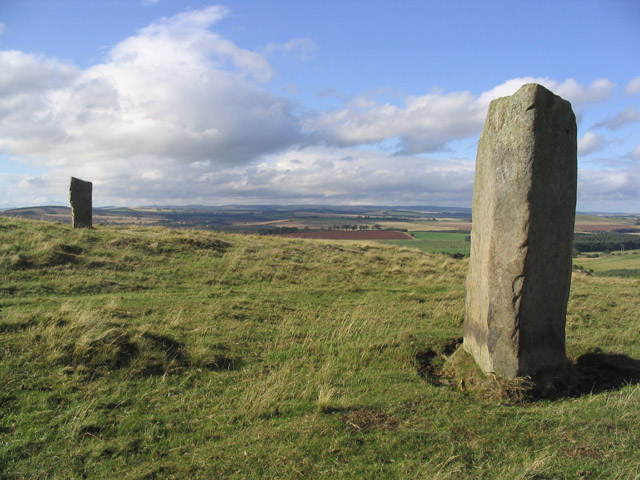
Brotherstone Hill
Brotherstone Hill is a hill near St. Boswells and the Eildon Hills in the Scottish Borders area of Scotland, with two standing stones from the megalithic...
Nearby Amenities
Located within 500m of 55.649127,-2.565637Have you been to Mellerstainhill Plantation?
Leave your review of Mellerstainhill Plantation below (or comments, questions and feedback).