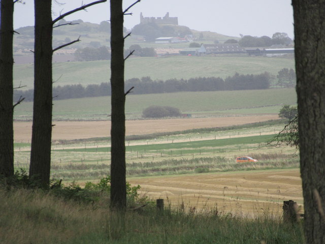
The Ride

Downs, Moorland in Berwickshire

Scotland

The Ride
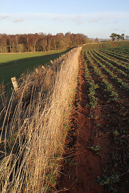
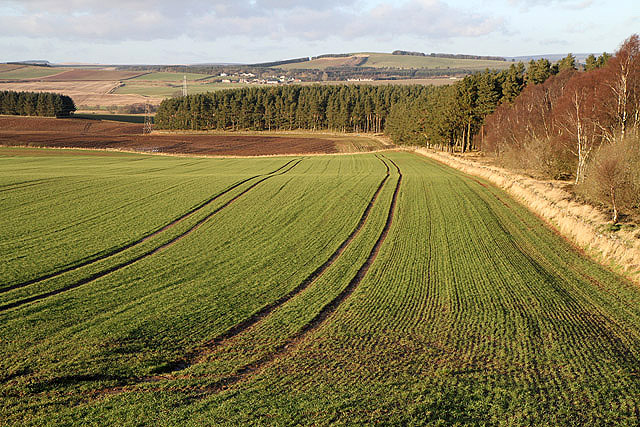
A field edge at Fans Hill Badger tracks were imprinted in the soil along the edge of this field of winter crops at Fans Hill. The rich red soil in this area comes from a layer of old red sandstone. For a close up view of the badger tracks, see <a href="https://www.geograph.org.uk/photo/2758923">NT6340 : Badger tracks at Fans Hill</a>.
A field edge at Fans Hill Credit: Walter Baxter

The requested URL returned error: 429 Too Many Requests

If you have any feedback on the listing, please let us know in the comments section below.

The Ride Images

Images are sourced within 2km of 55.646102/-2.5649578 or Grid Reference NT6439. Thanks to Geograph Open Source API. All images are credited.

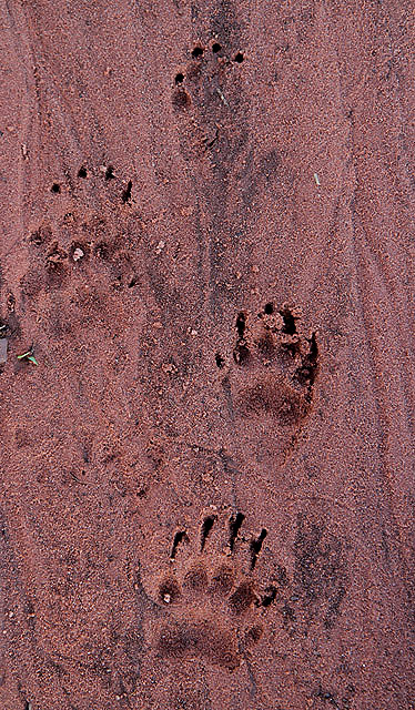
A field edge at Fans Hill Badger tracks were imprinted in the soil along the edge of this field of winter crops at Fans Hill. The rich red soil in this area comes from a layer of old red sandstone. For a close up view of the badger tracks, see <a href="https://www.geograph.org.uk/photo/2758923">NT6340 : Badger tracks at Fans Hill</a>.
A field edge at Fans Hill
Badger tracks were imprinted in the soil along the edge of this field of winter crops at Fans Hill. The rich red soil in this area comes from a layer of old red sandstone. For a close up view of the badger tracks, see NT6340 : Badger tracks at Fans Hill.
Badger tracks at Fans Hill A line of badger footprints ran along a field edge on the northeast side of the hill. For a view of the field edge, see <a href="https://www.geograph.org.uk/photo/2758915">NT6340 : A field edge at Fans Hill</a>. The rich red soil in this area comes from a layer of old red sandstone.
Badger tracks at Fans Hill
A line of badger footprints ran along a field edge on the northeast side of the hill. For a view of the field edge, see NT6340 : A field edge at Fans Hill. The rich red soil in this area comes from a layer of old red sandstone.
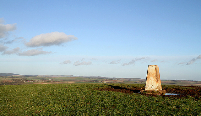
The triangulation pillar on Fans Hill Trig point S7890 is at 246m in a grazing area.
The triangulation pillar on Fans Hill
Trig point S7890 is at 246m in a grazing area.
An arable field at Fans Hill
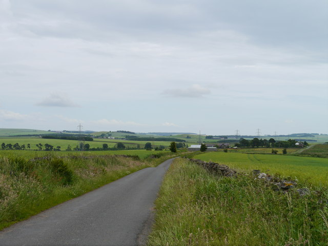
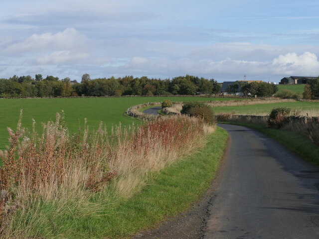
Towards Lightfield Heading east along the Fans to Lightfield road under threatening skies.
Towards Lightfield
Heading east along the Fans to Lightfield road under threatening skies.
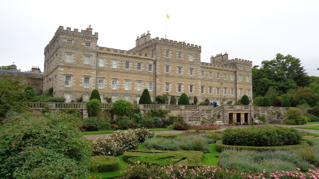
Mellerstain House The south facade
Mellerstain House
The south facade
Road near Mellerstain
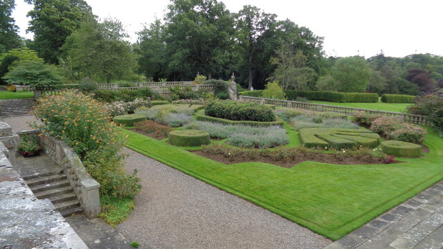
Formal garden On the south front of Mellerstain House
Formal garden
On the south front of Mellerstain House
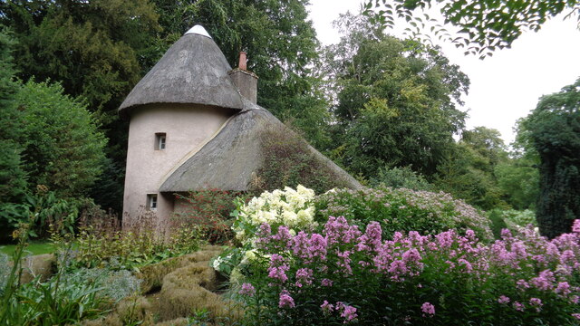
The old cottage On the Mellerstain estate
The old cottage
On the Mellerstain estate
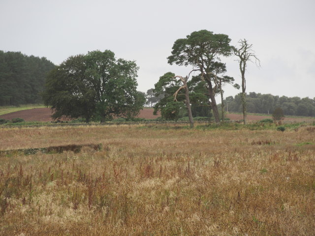
Big old trees near Lightfield by Gordon in the Scottish Borders
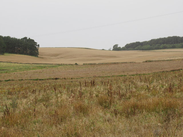
Arable ground beyond forestry-to-be near Lightfield in the Scottish Borders
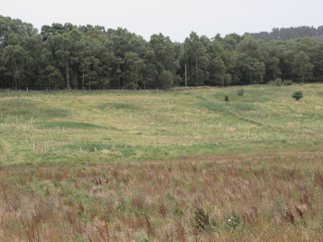
Old pasture fields tree-planted near Lightfield in the Scottish Borders
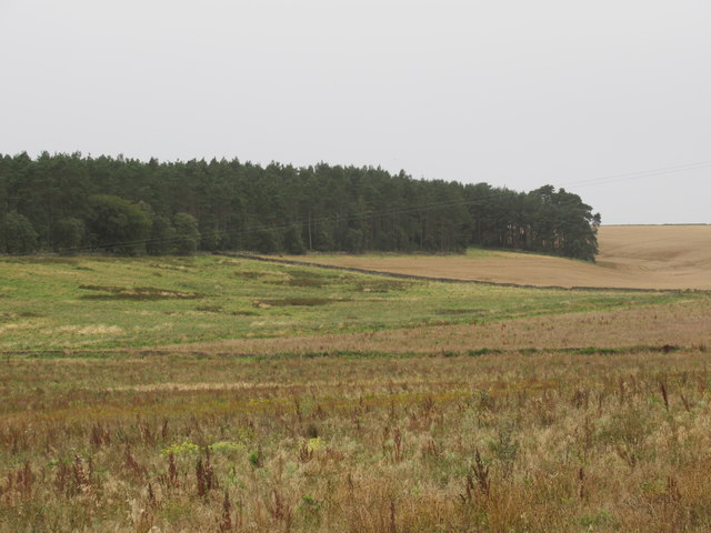
Old pasture fields above free-draining ground ear-marked for pines near Lightfield by Gordon in the Scottish Borders
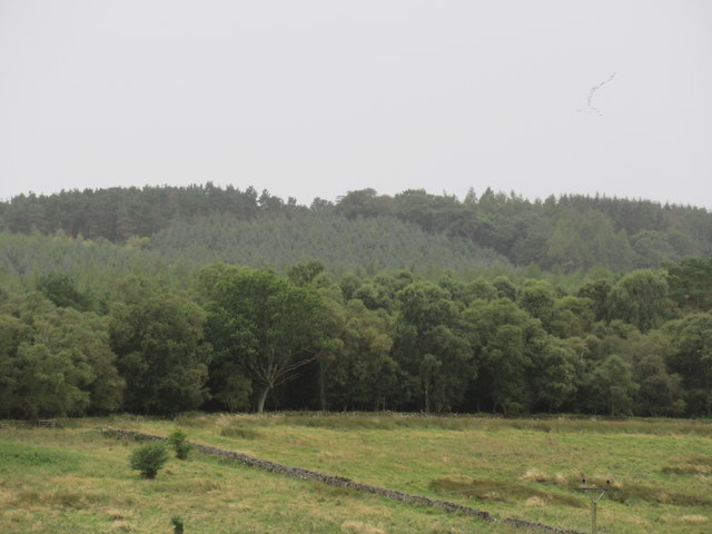
Trees galore near Lightfield in the Scottish Borders
View through the Horseshoe by Lightfield near Gordon in the Scottish Borders A folly in the view!
View through the Horseshoe by Lightfield near Gordon in the Scottish Borders
A folly in the view!
Inside Horseshoe Plantation near Gordon in the Scottish Borders
Gap in Horseshoe Plantation near Gordon in the Scottish Borders
Sign advertising government activity near Gordon in the Scottish Borders
Show me another place!

The Ride is located at Grid Ref: NT6439 (Lat: 55.646102, Lng: -2.5649578)

Unitary Authority: The Scottish Borders

Police Authority: The Lothians and Scottish Borders

What 3 Words

///crumples.from.gave. Near Earlston, Scottish Borders

Related Wikis

Mellerstain House

Mellerstain House is a stately home around 8 miles (13 kilometres) north of Kelso in the Borders, Scotland. It is currently the home of George Baillie...

Smailholm

Smailholm (Scots: Smailhowm) is a small village in the historic county of Roxburghshire in south-east Scotland. It is at grid reference NT648364 and straddles...

Gordon Moss

Gordon Moss is a nature reserve near Gordon, in the Scottish Borders area of Scotland, in the former Berwickshire. The moss is situated one mile west of...

Greenknowe Tower

Greenknowe Tower is a 16th-century tower house, located just west of the village of Gordon, in the Scottish Borders. Although a roofless ruin, the stonework...

Nearby Amenities

Located within 500m of 55.646102,-2.5649578
Barrier: cattle_grid
Lat/Long: 55.6448972/-2.5615781
Telephone
Booth: K6
Covered: booth
Operator: BT
Lat/Long: 55.6481507/-2.5586033
Post Box
Ref: TD3 44
Lat/Long: 55.6472295/-2.5597173
Toilets
Male: yes
Lat/Long: 55.6447676/-2.5611736
Toilets
Female: yes
Lat/Long: 55.6450098/-2.5607767
Cafe
Ghillie's Cafe
Lat/Long: 55.6448584/-2.560656
Shop: gift
Lat/Long: 55.6447243/-2.5606985
Power: pole
Lat/Long: 55.6457579/-2.5720682
Power: pole
Lat/Long: 55.6455643/-2.5705455
Power: pole
Lat/Long: 55.6453649/-2.5693659
Power: pole
Lat/Long: 55.6491358/-2.5599442
Power: pole
Lat/Long: 55.6488699/-2.5611466
Power: pole
Lat/Long: 55.6486023/-2.562366
Power: pole
Lat/Long: 55.6482871/-2.563289
Power: pole
Lat/Long: 55.6479304/-2.5643592
Power: pole
Lat/Long: 55.6476213/-2.5653249
Power: pole
Lat/Long: 55.6472388/-2.5665091
Power: pole
Lat/Long: 55.6469188/-2.5674524
Power: pole
Lat/Long: 55.6466012/-2.5683947
Power: pole
Lat/Long: 55.6462944/-2.5693498
Power: pole
Lat/Long: 55.6459937/-2.5702899
Fountain
Drinking Water: no
Lit: no
Lat/Long: 55.6443529/-2.5617887
The data included in this document is from www.openstreetmap.org. The data is made available under ODbL.

Have you been to The Ride?

Leave your review of The Ride below (or comments, questions and feedback).