Eslie Moss
Wood, Forest in Kincardineshire
Scotland
Eslie Moss
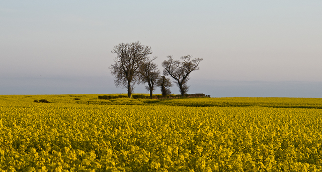
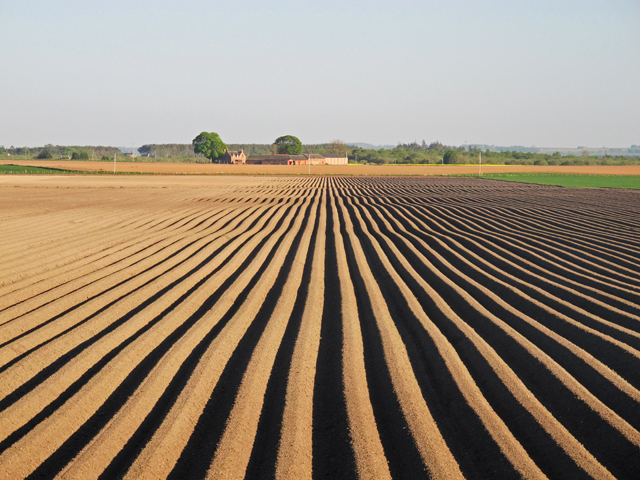
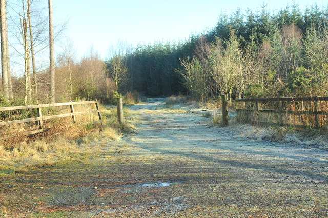
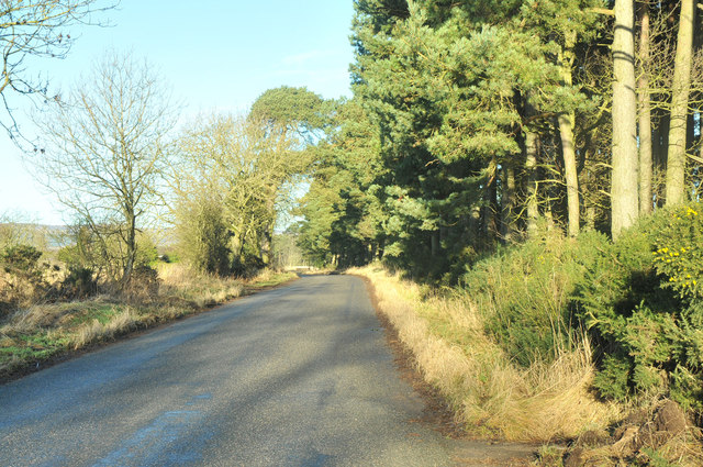
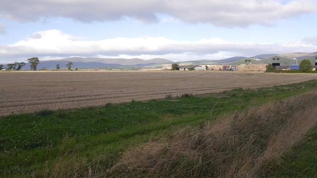
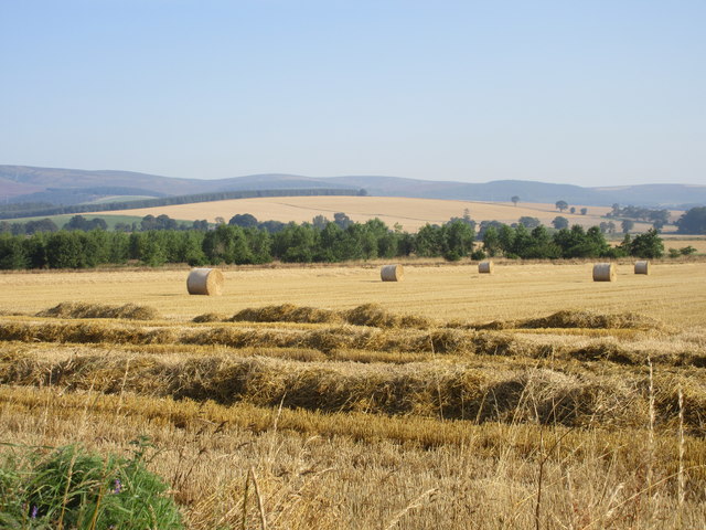
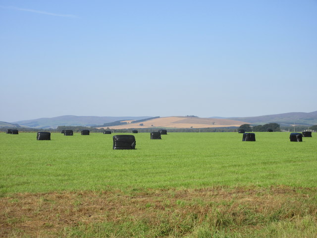
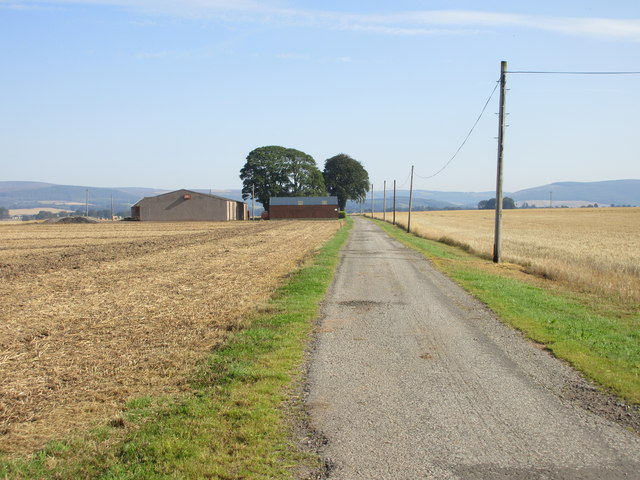
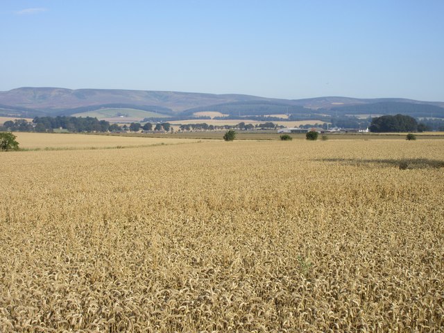
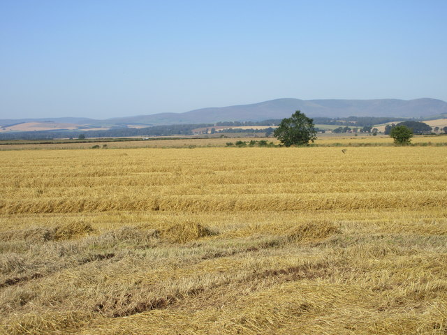
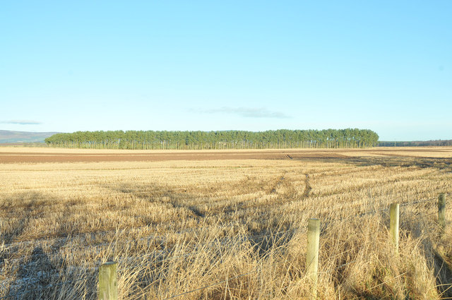
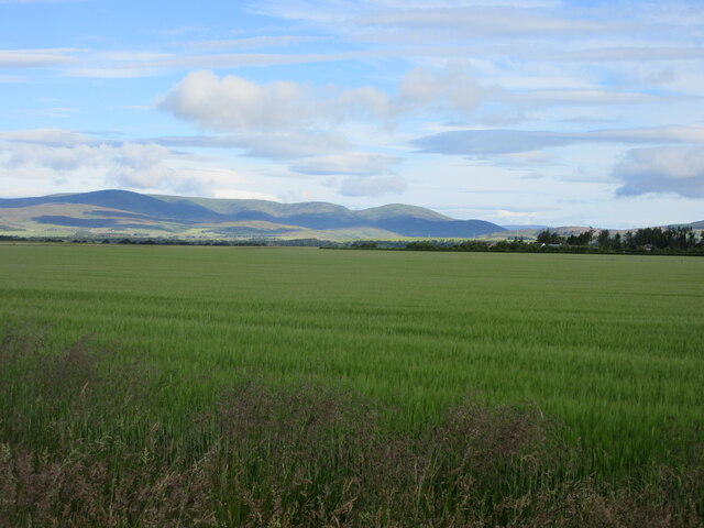
Eslie Moss, located in Kincardineshire, Scotland, is a picturesque woodland area that is renowned for its natural beauty and diverse ecosystem. Covering an approximate area of several acres, this forested region is characterized by its dense vegetation and thriving wildlife.
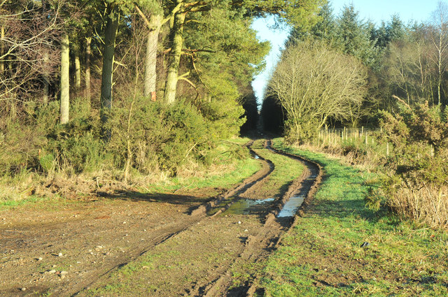
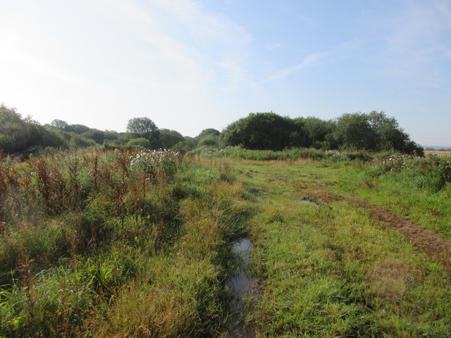
The woodland of Eslie Moss is primarily composed of a mixture of deciduous and coniferous trees, including oak, birch, and Scots pine. The variety of tree species creates a vibrant and visually appealing landscape, particularly during the autumn when the leaves change color. The forest floor is adorned with a rich carpet of mosses and ferns, adding to the overall enchanting atmosphere.
Eslie Moss is home to an array of wildlife, making it a popular destination for nature enthusiasts and birdwatchers. The forest provides a habitat for numerous species of birds, such as woodpeckers, owls, and various songbirds. Additionally, mammals like red squirrels, deer, and badgers can also be spotted within the woodland.
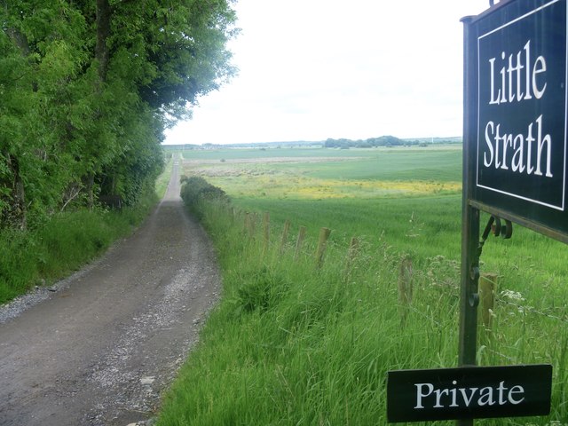
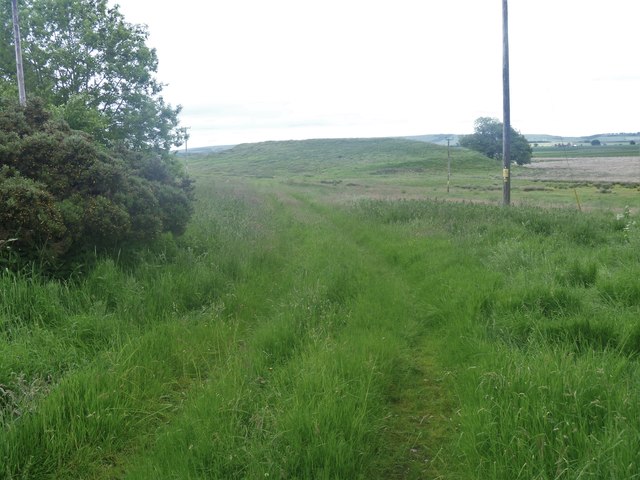
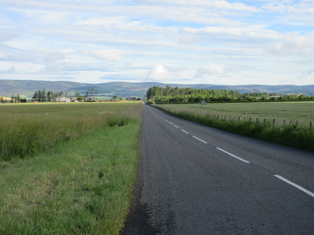
The area offers several walking trails, allowing visitors to explore the forest and appreciate its natural wonders. These trails meander through the trees, offering glimpses of the surrounding countryside and providing opportunities for peaceful and meditative walks. The management of Eslie Moss aims to preserve the natural integrity of the woodland while providing a safe and enjoyable experience for visitors.
Overall, Eslie Moss in Kincardineshire is a captivating woodland destination that offers a tranquil and immersive experience in nature. Its diverse flora and fauna, coupled with its scenic trails, make it a must-visit location for those seeking a connection with the natural world.
If you have any feedback on the listing, please let us know in the comments section below.
Eslie Moss Images
Images are sourced within 2km of 56.827533/-2.5832841 or Grid Reference NO6470. Thanks to Geograph Open Source API. All images are credited.
Eslie Moss is located at Grid Ref: NO6470 (Lat: 56.827533, Lng: -2.5832841)
Unitary Authority: Aberdeenshire
Police Authority: North East
What 3 Words
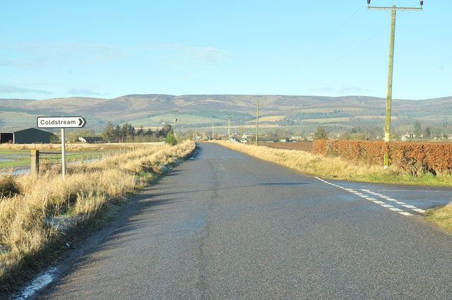
///auctioned.foster.offhand. Near Laurencekirk, Aberdeenshire
Nearby Locations
Related Wikis

RAF Edzell
Royal Air Force Edzell or more simply RAF Edzell is a former Royal Air Force satellite station located in Aberdeenshire, one mile east of Edzell in Angus...

Luthermuir
Luthermuir is a village in Aberdeenshire, Scotland, UK. Historically the village was home to weavers and labourers. == Facilities == Luthermuir is home...

Fettercairn
Fettercairn (, Scottish Gaelic: Fothair Chàrdain) is a small village in Aberdeenshire, Scotland, northwest of Laurencekirk in Aberdeenshire on the B966...

Edzell Woods
Edzell Woods is a village in the Kincardine and Mearns area of Aberdeenshire, Scotland. It is 4 miles (6.4 km) from Edzell by road, but only one mile...

Fettercairn distillery
Fettercairn distillery is a whisky distillery in Fettercairn. Situated under the Grampian foothills in the Howe of Mearns, Fettercairn town’s name is...
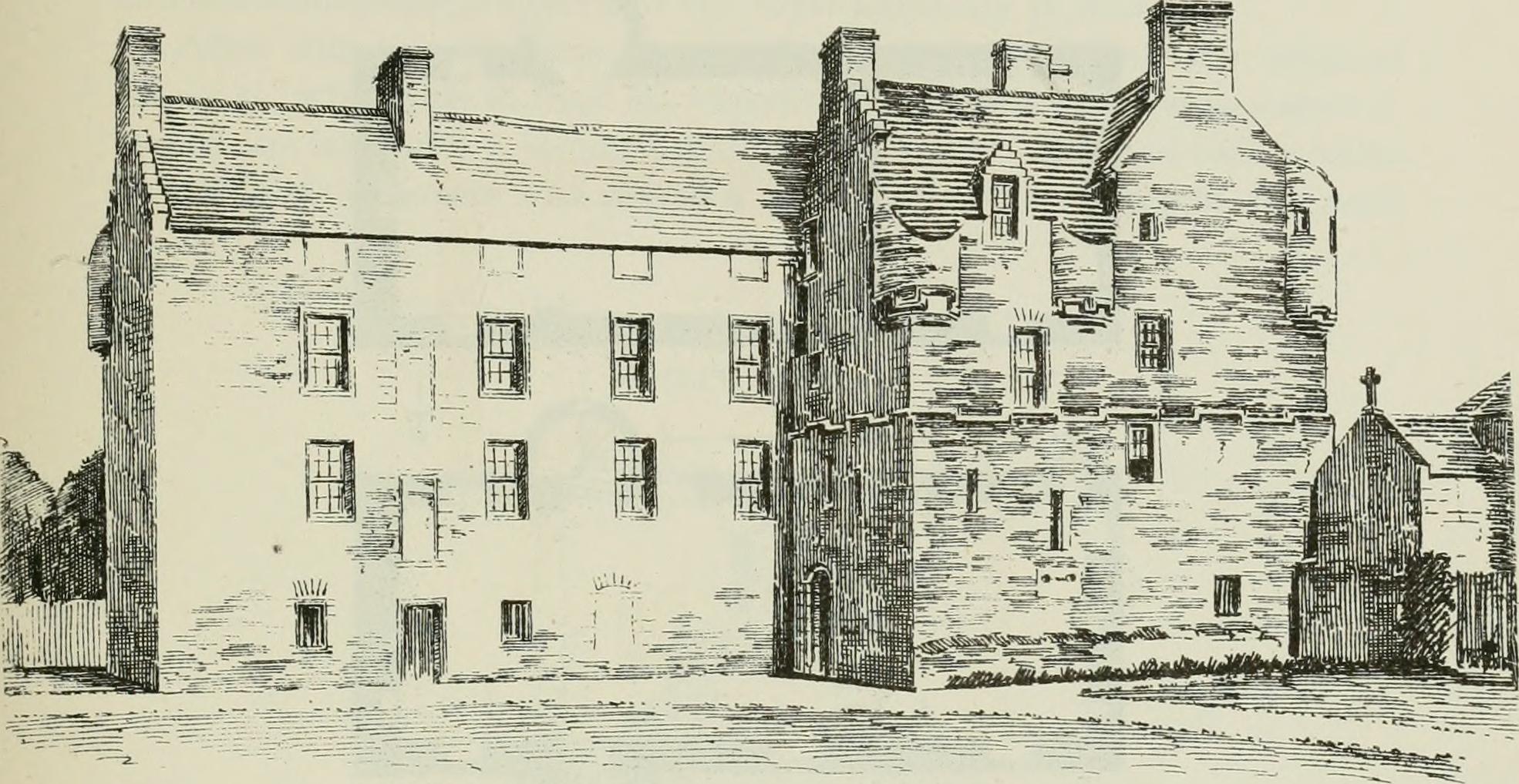
Inglismaldie Castle
Inglismaldie Castle is a castle in the parish of Marykirk and the county of Kincardineshire, Scotland. == History == The Tower House was built in 1636...

Thornton Castle, Marykirk
Thornton Castle, Marykirk, Aberdeenshire is a fortress or fortified residence in Marykirk, Aberdeenshire. Parts of the house date from 1531.It was the...

Luther Water
Luther Water is a generally southerly flowing river in Aberdeenshire, Scotland that discharges into the River North Esk. == Course == The watercourse rises...
Nearby Amenities
Located within 500m of 56.827533,-2.5832841Have you been to Eslie Moss?
Leave your review of Eslie Moss below (or comments, questions and feedback).