York Hill
Hill, Mountain in Gloucestershire Forest of Dean
England
York Hill
York Hill is a prominent geographical feature situated in the county of Gloucestershire, England. It is part of the picturesque Cotswold Hills, a designated Area of Outstanding Natural Beauty. Rising to an elevation of approximately 195 meters (640 feet), it offers breathtaking panoramic views of the surrounding countryside.
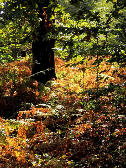
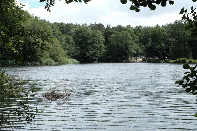
This hill is located approximately 9 kilometers (5.6 miles) northeast of the town of Tetbury and lies within the civil parish of Beverston. The landscape of York Hill is characterized by rolling green meadows, sweeping valleys, and dense woodland, providing a haven for various flora and fauna. The hill's slopes are covered with lush grass and patches of wildflowers during the summer months, creating a vibrant and colorful scenery.
York Hill is popular among hikers, nature enthusiasts, and landscape photographers due to its commanding vantage point. The summit offers unobstructed vistas of the Cotswold Hills, with the River Avon meandering through the valley below. On a clear day, one can even catch a glimpse of the distant Malvern Hills to the east.
Aside from its natural beauty, York Hill also boasts historical significance. The area is dotted with ancient archaeological remains, including Iron Age hillforts and burial mounds, reflecting its rich cultural heritage.
Overall, York Hill is a cherished destination for those seeking tranquility, natural splendor, and a glimpse into the region's history. Whether to admire its scenic views, explore its ancient past, or simply enjoy a leisurely walk, this Gloucestershire hill offers an idyllic escape from the hustle and bustle of everyday life.
If you have any feedback on the listing, please let us know in the comments section below.
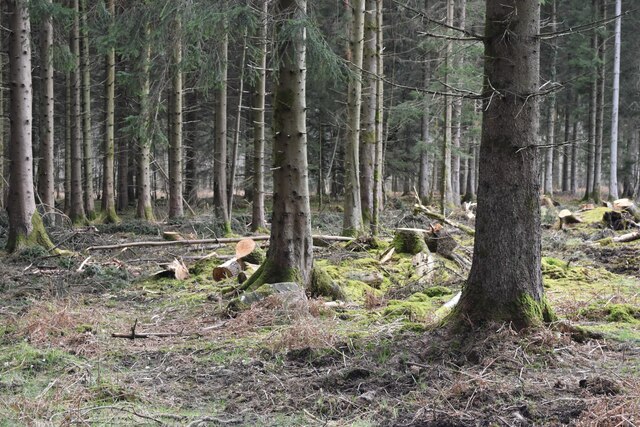
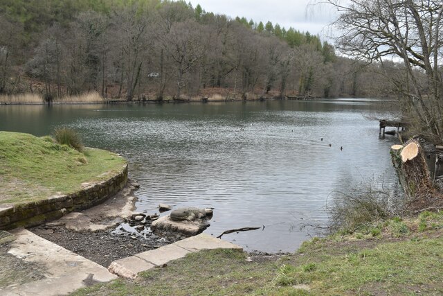
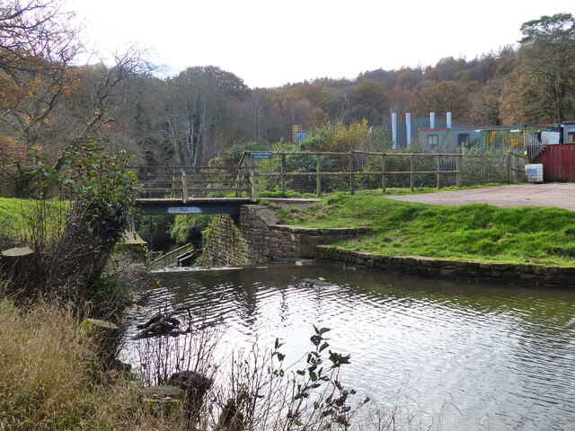
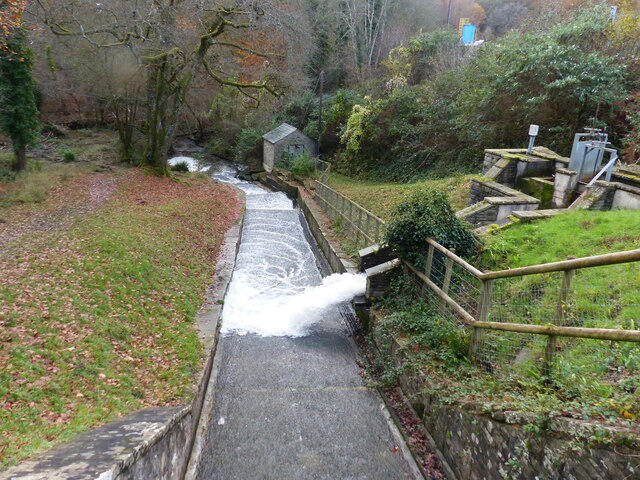
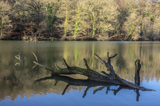
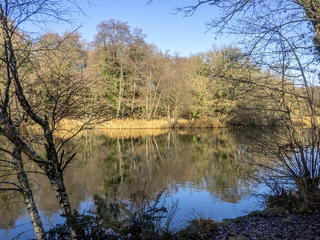
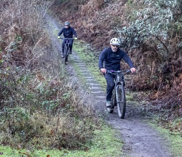
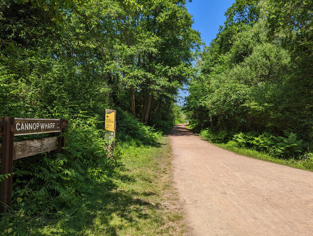
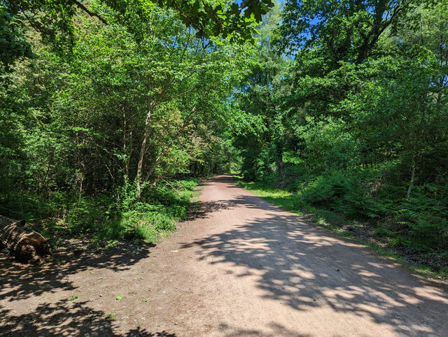
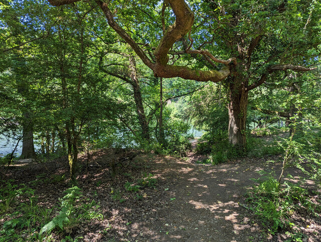
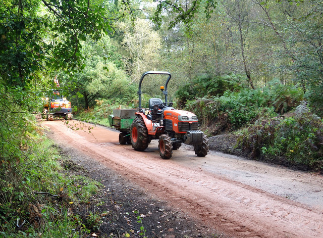
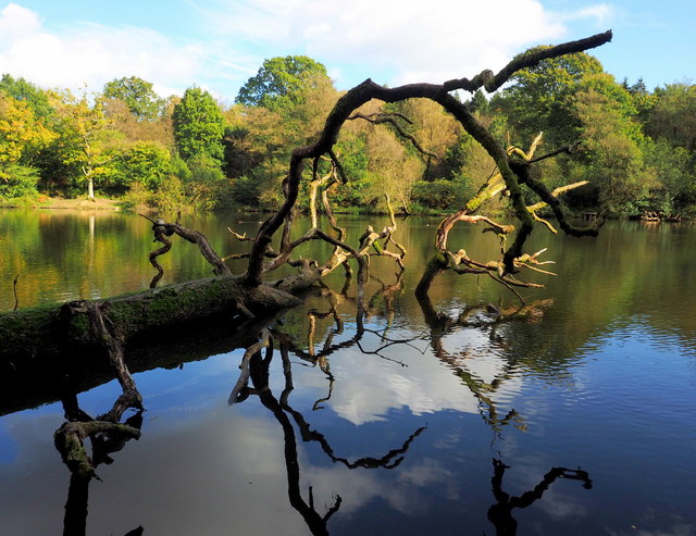
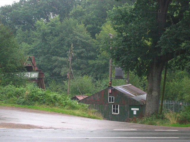
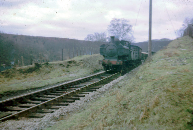
York Hill Images
Images are sourced within 2km of 51.772881/-2.5696261 or Grid Reference SO6008. Thanks to Geograph Open Source API. All images are credited.
York Hill is located at Grid Ref: SO6008 (Lat: 51.772881, Lng: -2.5696261)
Administrative County: Gloucestershire
District: Forest of Dean
Police Authority: Gloucestershire
What 3 Words
///factories.jaundice.caravan. Near Bream, Gloucestershire
Nearby Locations
Related Wikis

Mary Rose Young
Mary Rose Young is a ceramic artist who lives and works in the Forest of Dean, Gloucestershire, in the UK. == Early life == Mary Rose Young was born near...

Nagshead
Nagshead is a woodland reserve, located on the western edge of Parkend, in the Forest of Dean, Gloucestershire, and is home to RSPB Nagshead. The site...

Nagshead SSSI
Nagshead SSSI is a 297 acres (120 ha) biological Site of Special Scientific Interest located within RSPB Nagshead, near Parkend, in the Forest of Dean...

Parkend Ironworks
Parkend Ironworks, also known as Parkend Furnace, in the village of Parkend, in the Forest of Dean, Gloucestershire, England, was a coke-fired furnace...

Parkend
Parkend is a village, located at the foot of the Cannop Valley, in the Royal Forest of Dean, West Gloucestershire, England, and has a history dating back...

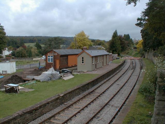
Parkend railway station
Parkend railway station is located in the village of Parkend, in the Forest of Dean, Gloucestershire. It is currently the northern terminus of the Dean...

West Dean Rural District
West Dean Rural District was a rural district in Gloucestershire, England, from 1894 to 1974. It comprised a number of civil parishes, including, confusingly...

Forest of Dean Cycle Centre
Forest of Dean Cycle Centre is a small woodland cycling centre, comprising mountain bike trails, a visitor centre, car parks and uplift service. It is...
Nearby Amenities
Located within 500m of 51.772881,-2.5696261Have you been to York Hill?
Leave your review of York Hill below (or comments, questions and feedback).