Parkend Walk
Wood, Forest in Gloucestershire Forest of Dean
England
Parkend Walk
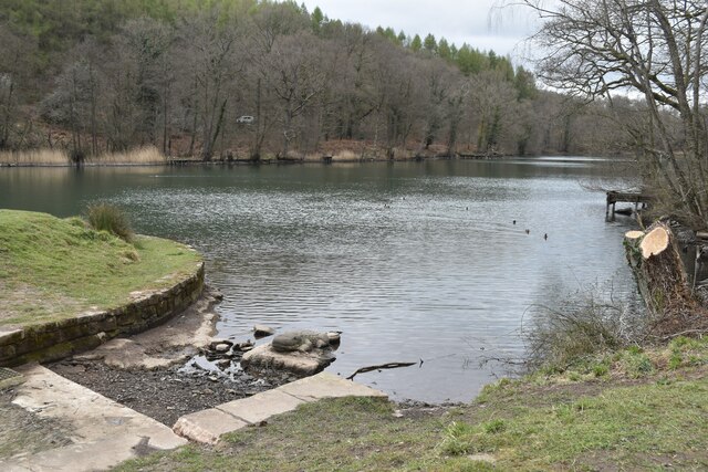
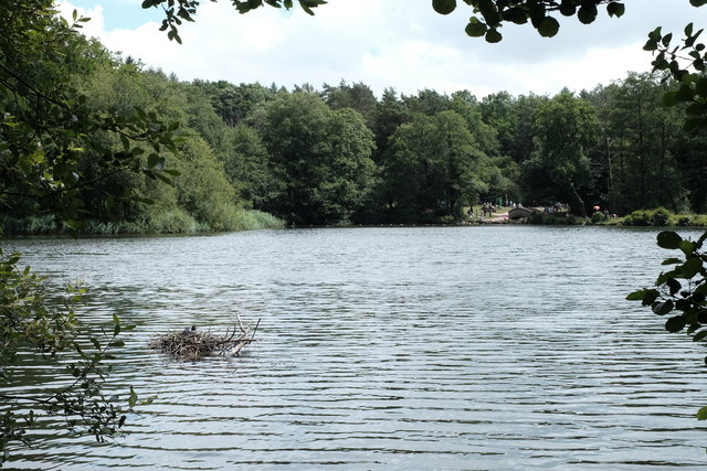
Parkend Walk is a picturesque woodland trail located in the county of Gloucestershire, England. Nestled in the heart of the enchanting Forest of Dean, this walk offers visitors a serene and immersive experience in nature.
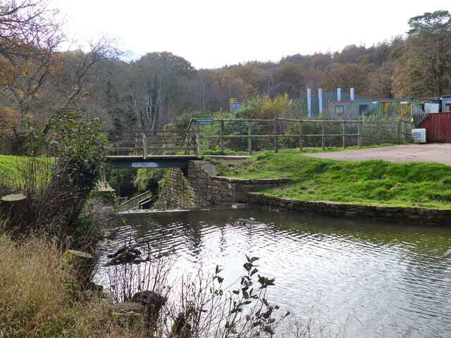
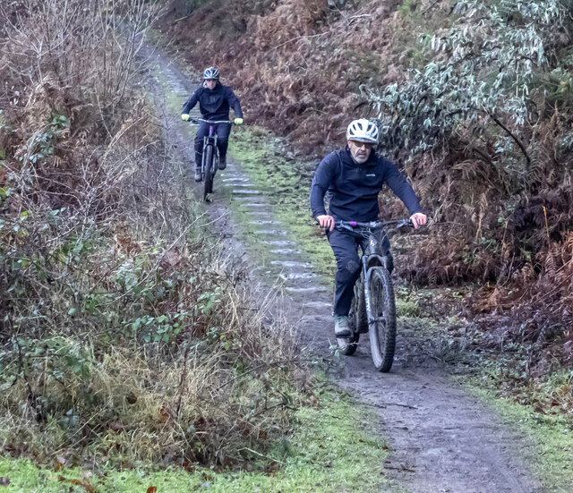
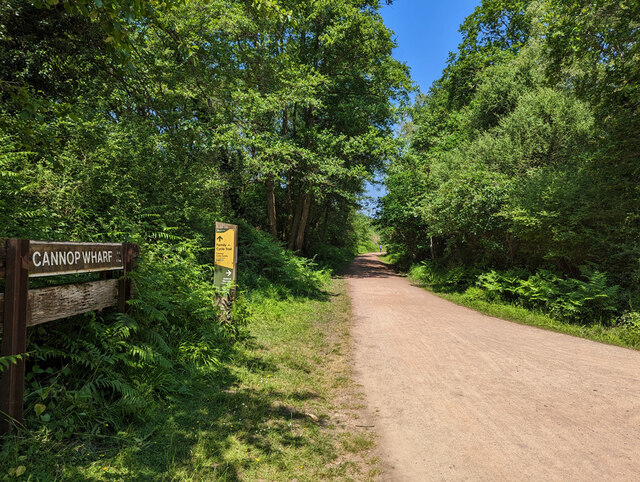
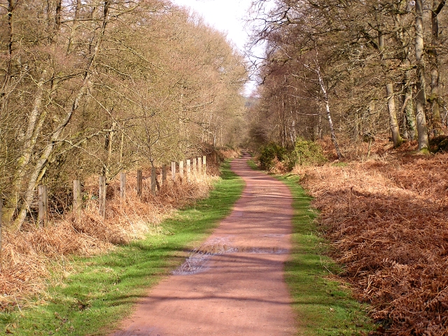
The trail starts at the village of Parkend and winds its way through the dense woodlands. It is approximately 2 miles in length, making it an ideal choice for a leisurely stroll or a family outing. The path is well-maintained and clearly marked, ensuring that visitors can navigate through the forest with ease.
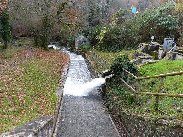
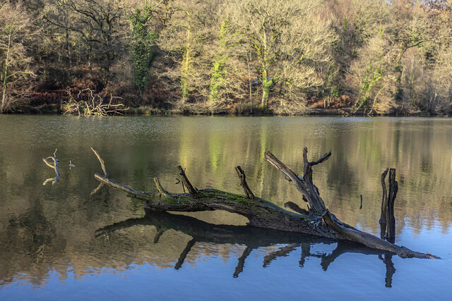
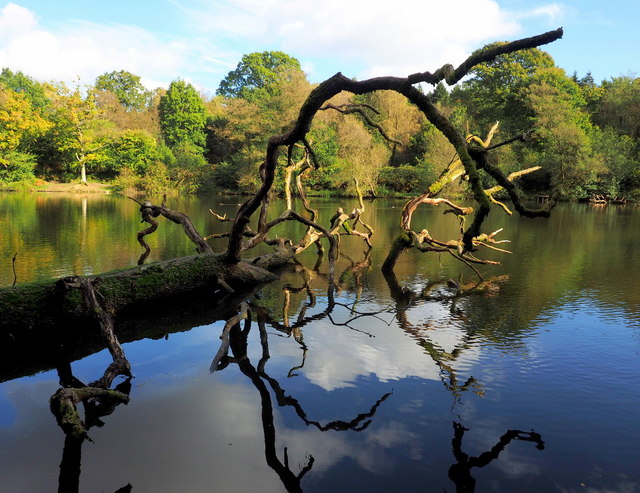
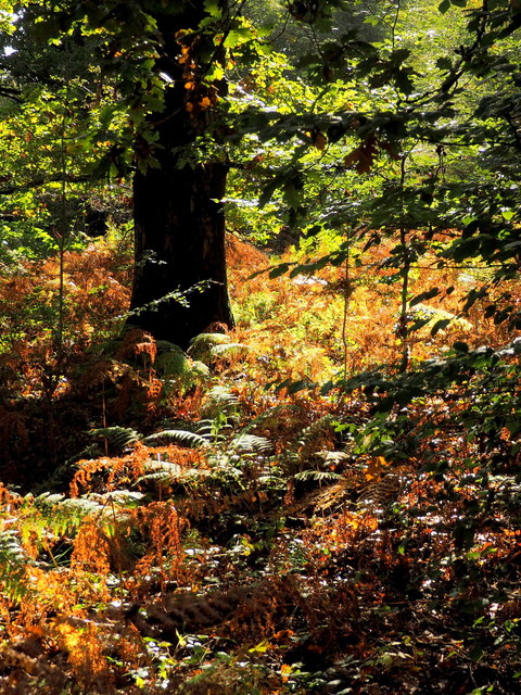
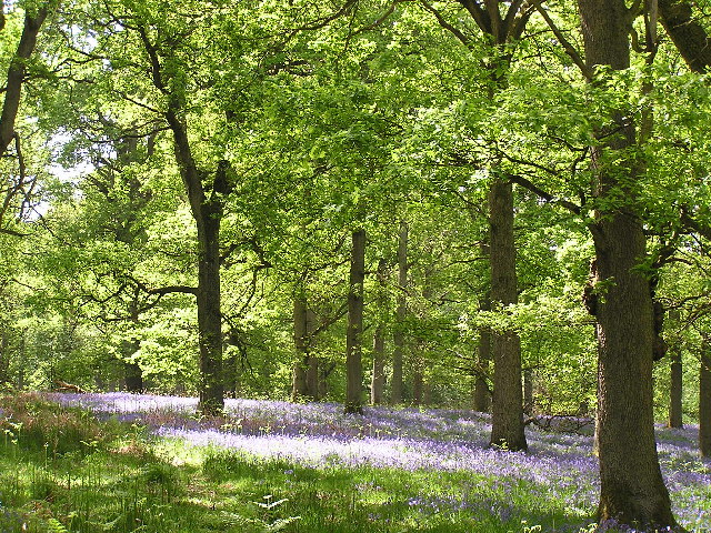
The woodland itself is a diverse ecosystem, boasting a variety of tree species such as oak, beech, and birch. The dense canopy creates a cool and shaded environment, perfect for escaping the summer heat. The forest floor is covered in a rich carpet of moss and ferns, adding to the magical ambiance of the walk.
Along the way, walkers can expect to encounter an abundance of wildlife. Squirrels scurry through the branches above, while birdsong fills the air. Lucky visitors may even catch a glimpse of the elusive deer that call the Forest of Dean home.
Parkend Walk offers more than just natural beauty. Along the trail, there are information boards that provide interesting facts about the forest's history, geology, and wildlife. These educational displays enhance the visitor's understanding and appreciation of the area.
Overall, Parkend Walk is a delightful and accessible woodland trail, offering visitors a chance to connect with nature and experience the tranquility of the Forest of Dean. Whether you are a nature lover, a family seeking adventure, or simply looking for a peaceful escape, this walk is a must-visit destination in Gloucestershire.
If you have any feedback on the listing, please let us know in the comments section below.
Parkend Walk Images
Images are sourced within 2km of 51.771628/-2.5721176 or Grid Reference SO6008. Thanks to Geograph Open Source API. All images are credited.

Parkend Walk is located at Grid Ref: SO6008 (Lat: 51.771628, Lng: -2.5721176)
Administrative County: Gloucestershire
District: Forest of Dean
Police Authority: Gloucestershire
What 3 Words
///register.backlog.gloom. Near Bream, Gloucestershire
Nearby Locations
Related Wikis

Mary Rose Young
Mary Rose Young is a ceramic artist who lives and works in the Forest of Dean, Gloucestershire, in the UK. == Early life == Mary Rose Young was born near...

Nagshead
Nagshead is a woodland reserve, located on the western edge of Parkend, in the Forest of Dean, Gloucestershire, and is home to RSPB Nagshead. The site...

Nagshead SSSI
Nagshead SSSI is a 297 acres (120 ha) biological Site of Special Scientific Interest located within RSPB Nagshead, near Parkend, in the Forest of Dean...

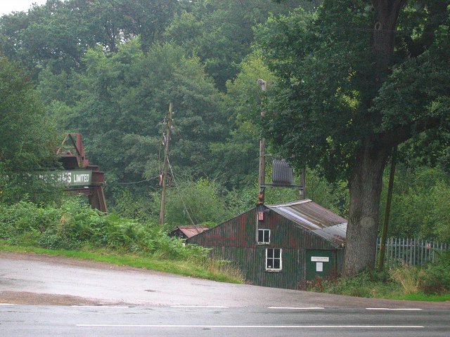
Parkend Ironworks
Parkend Ironworks, also known as Parkend Furnace, in the village of Parkend, in the Forest of Dean, Gloucestershire, England, was a coke-fired furnace...

Parkend
Parkend is a village, located at the foot of the Cannop Valley, in the Royal Forest of Dean, West Gloucestershire, England, and has a history dating back...

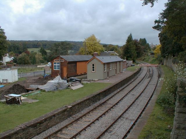
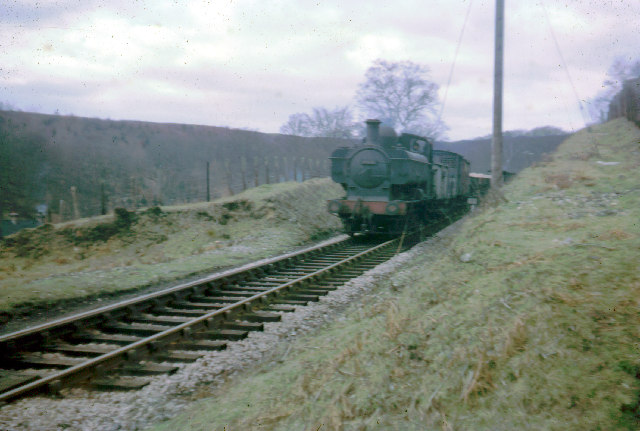
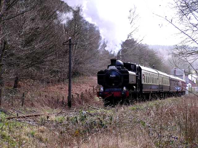
Parkend railway station
Parkend railway station is located in the village of Parkend, in the Forest of Dean, Gloucestershire. It is currently the northern terminus of the Dean...

West Dean Rural District
West Dean Rural District was a rural district in Gloucestershire, England, from 1894 to 1974. It comprised a number of civil parishes, including, confusingly...

Forest of Dean Cycle Centre
Forest of Dean Cycle Centre is a small woodland cycling centre, comprising mountain bike trails, a visitor centre, car parks and uplift service. It is...
Nearby Amenities
Located within 500m of 51.771628,-2.5721176Have you been to Parkend Walk?
Leave your review of Parkend Walk below (or comments, questions and feedback).