Quest Slade

Wood, Forest in Gloucestershire Forest of Dean

England

Quest Slade

Parkend Station Currently undergoing restoration on the preserved Forest of Dean Railway.
Parkend Station Credit: David Stowell

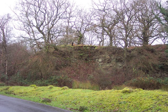
Quest Slade is a picturesque woodland area located in Gloucestershire, England. Situated within the enchanting Forest of Dean, it is renowned for its natural beauty and tranquil atmosphere. Spanning approximately 200 acres, Quest Slade is a haven for nature lovers and outdoor enthusiasts alike.

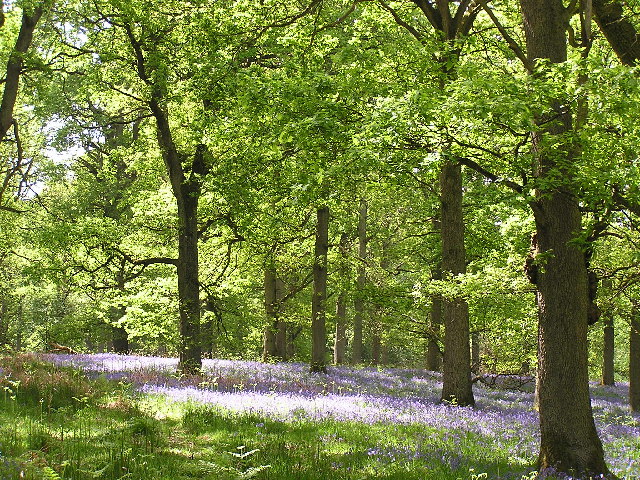
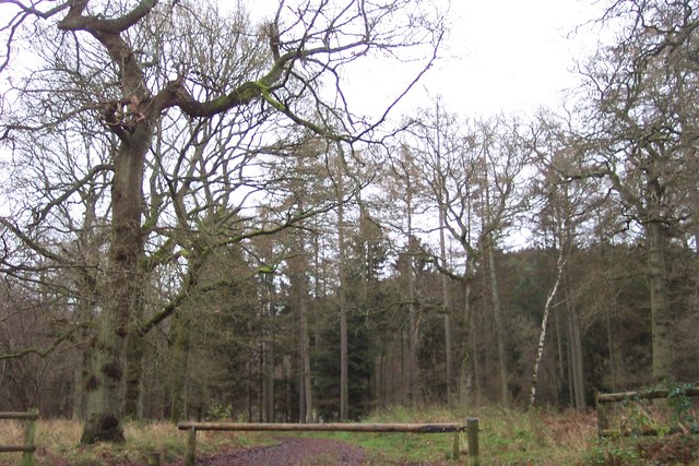
The woodland is predominantly composed of dense oak and beech trees, creating a lush canopy that provides shade and shelter to a wide variety of flora and fauna. The forest floor is covered in a rich carpet of ferns, bluebells, and wildflowers, adding to the area's charm and biodiversity.

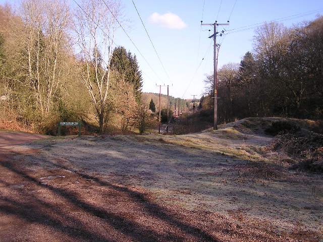
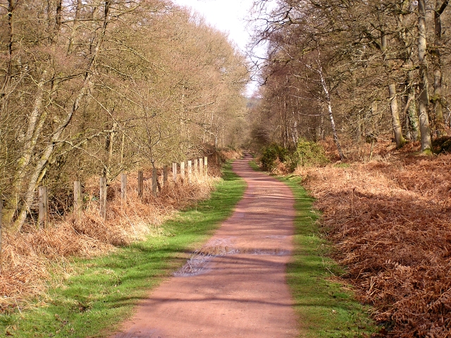
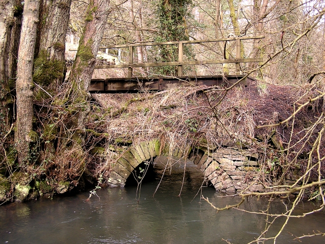
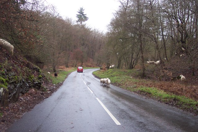
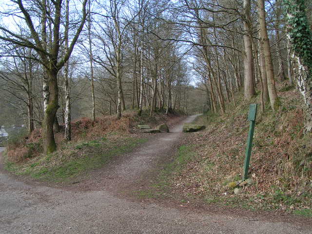
Quest Slade offers an extensive network of walking trails and paths, allowing visitors to explore its hidden treasures at their own pace. These well-maintained routes cater to all levels of fitness, from gentle strolls to more challenging hikes. Along the way, walkers may encounter ancient ruins, such as the remnants of a medieval chapel, adding a touch of history to the experience.

Wildlife enthusiasts will be delighted by the array of creatures that call Quest Slade home. The woodland provides a habitat for a diverse range of animals, including deer, badgers, foxes, and numerous bird species. Birdwatchers may even spot rare species such as the lesser spotted woodpecker or the elusive tawny owl.

Quest Slade is also a popular spot for camping and picnicking. The peaceful surroundings make it an ideal destination for families and individuals seeking a break from the hustle and bustle of everyday life.

Overall, Quest Slade is a natural gem within the Forest of Dean, offering visitors a chance to immerse themselves in the beauty of the woodlands and connect with nature.

If you have any feedback on the listing, please let us know in the comments section below.
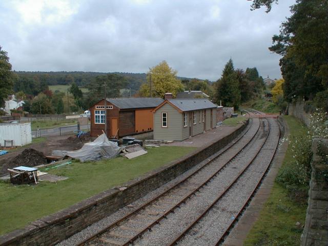
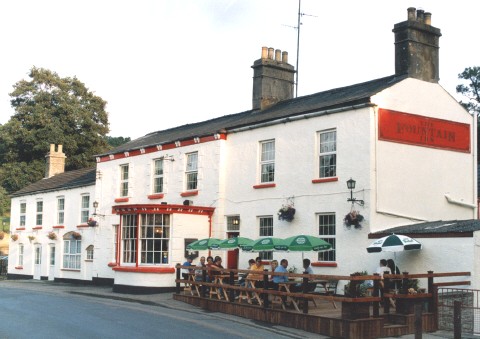
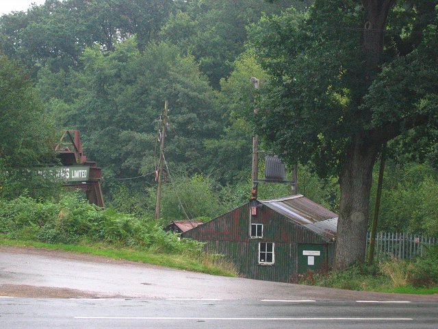
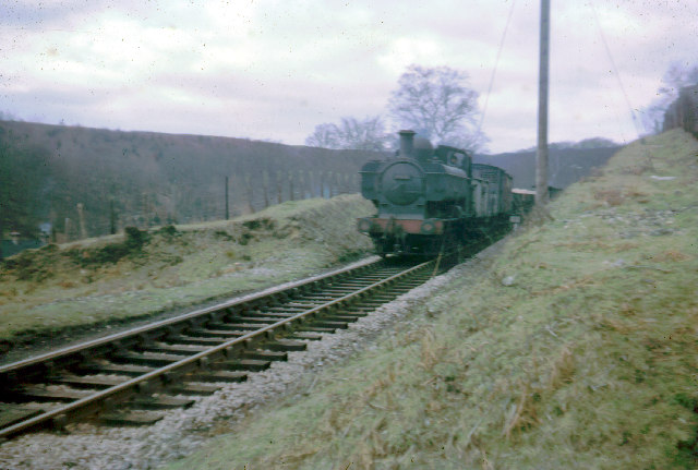
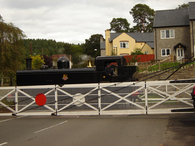
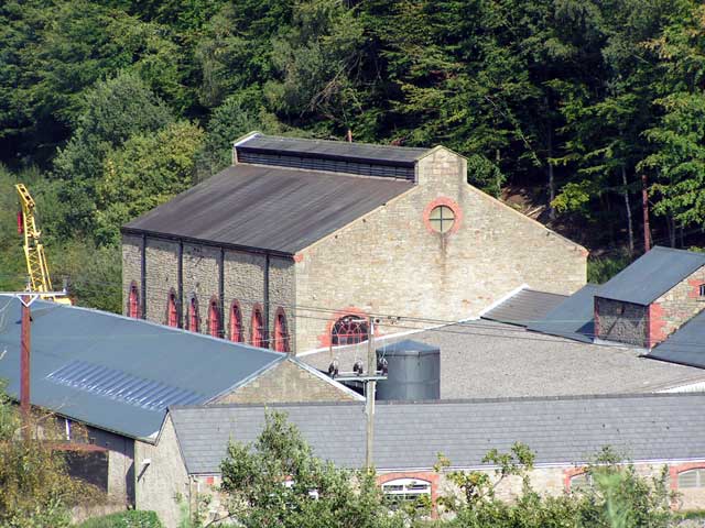
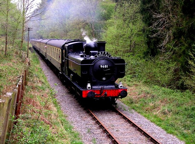
Quest Slade Images

Images are sourced within 2km of 51.769412/-2.5784081 or Grid Reference SO6008. Thanks to Geograph Open Source API. All images are credited.

Parkend Station Currently undergoing restoration on the preserved Forest of Dean Railway.
Parkend Station
Currently undergoing restoration on the preserved Forest of Dean Railway.
The Fountain Inn and Lodge (Hostel) Accommodation facility for walkers.
The Fountain Inn and Lodge (Hostel)
Accommodation facility for walkers.
Bixslade Quarry. The stone dressing sheds by Cannop Ponds, the actual sandstone quarry is at SO598107
Bixslade Quarry.
The stone dressing sheds by Cannop Ponds, the actual sandstone quarry is at SO598107
Train from Coleford to Parkend The Coleford Branch was part of the Severn and Wye railway in the Forest of Dean. The railway (now closed and lifted) was crossed here by the waymarked path from St Briavels to Mitcheldean.
Train from Coleford to Parkend
The Coleford Branch was part of the Severn and Wye railway in the Forest of Dean. The railway (now closed and lifted) was crossed here by the waymarked path from St Briavels to Mitcheldean.
Bluebells A common sight in the Forest of Dean during late spring/early summer. these bluebells are pictured under the oaks of Nagshead Plantation.
Bluebells
A common sight in the Forest of Dean during late spring/early summer. these bluebells are pictured under the oaks of Nagshead Plantation.
Power lines through the forest Looking towards the North West.
Power lines through the forest
Looking towards the North West.
Logs Churchill Inclosure forms the background in a square that is almost 100% forest.
Logs
Churchill Inclosure forms the background in a square that is almost 100% forest.
Cycle Track, Forest of Dean This used to be the railway line that ran from Lydney to Lydbrook Junction. Apart from this, and another cycle track that branches off it, the square is 100% forest.
Cycle Track, Forest of Dean
This used to be the railway line that ran from Lydney to Lydbrook Junction. Apart from this, and another cycle track that branches off it, the square is 100% forest.
Replacement Footbridge With the old stone footbridge collapsing, a wooden one has simply been placed on top.
Replacement Footbridge
With the old stone footbridge collapsing, a wooden one has simply been placed on top.
Disused quarry near Parkend. One of the many reminders of the industrial past of the Forest of Dean.
Disused quarry near Parkend.
One of the many reminders of the industrial past of the Forest of Dean.
Sheep in the road! A common sight in the Forest of Dean, and quite a traffic hazard.
Sheep in the road!
A common sight in the Forest of Dean, and quite a traffic hazard.
The Woodman Inn, Parkend. The pub overlooks the cricket field in this Forest of Dean community.
The Woodman Inn, Parkend.
The pub overlooks the cricket field in this Forest of Dean community.
A track into Oakenhill Wood. Just beyond the church at Parkend.
A track into Oakenhill Wood.
Just beyond the church at Parkend.
Level crossing at Parkend, Dean Forest Railway "Old style" level crossing gates, now only seen on preserved railways.
Level crossing at Parkend, Dean Forest Railway
"Old style" level crossing gates, now only seen on preserved railways.
The Flour Mill The site of the former Flour Mill Colliery.
The Flour Mill
The site of the former Flour Mill Colliery.
Old Railway Track from Coleford to Parkend Photo taken from the same position as <a href="https://www.geograph.org.uk/photo/85548">SO6008 : Train from Coleford to Parkend</a>, but 44 years later. The line closed in 1967 and few traces remain. The trackbed is now a walkway and cycleway.
Old Railway Track from Coleford to Parkend
Photo taken from the same position as SO6008 : Train from Coleford to Parkend, but 44 years later. The line closed in 1967 and few traces remain. The trackbed is now a walkway and cycleway.
Dean Forest Railway Pannier Tank 9681 heads the first train from the mainline to Parkend in 40 years.
Dean Forest Railway
Pannier Tank 9681 heads the first train from the mainline to Parkend in 40 years.
Mary Rose Young pottery and gallery One of many "craft" places in the forest.  The yellow is a strong attractor when driving or walking past.
Mary Rose Young pottery and gallery
One of many "craft" places in the forest. The yellow is a strong attractor when driving or walking past.
Show me another place!

Quest Slade is located at Grid Ref: SO6008 (Lat: 51.769412, Lng: -2.5784081)

Administrative County: Gloucestershire

District: Forest of Dean

Police Authority: Gloucestershire

What 3 Words

///greet.willing.later. Near Bream, Gloucestershire

Related Wikis

Mary Rose Young

Mary Rose Young is a ceramic artist who lives and works in the Forest of Dean, Gloucestershire, in the UK. == Early life == Mary Rose Young was born near...

Nagshead

Nagshead is a woodland reserve, located on the western edge of Parkend, in the Forest of Dean, Gloucestershire, and is home to RSPB Nagshead. The site...

Ellwood, Gloucestershire

Ellwood is a hamlet in the Forest of Dean district in Gloucestershire, England. It lies around 3 kilometres (1.9 mi) south-east of Coleford. The hamlet...

Nagshead SSSI

Nagshead SSSI is a 297 acres (120 ha) biological Site of Special Scientific Interest located within RSPB Nagshead, near Parkend, in the Forest of Dean...

Darkhill Ironworks

Darkhill Ironworks, and the neighbouring Titanic Steelworks, are internationally important industrial remains associated with the development of the iron...

West Dean Rural District

West Dean Rural District was a rural district in Gloucestershire, England, from 1894 to 1974. It comprised a number of civil parishes, including, confusingly...

Parkend Ironworks

Parkend Ironworks, also known as Parkend Furnace, in the village of Parkend, in the Forest of Dean, Gloucestershire, England, was a coke-fired furnace...

Parkend

Parkend is a village, located at the foot of the Cannop Valley, in the Royal Forest of Dean, West Gloucestershire, England, and has a history dating back...

Nearby Amenities

Located within 500m of 51.769412,-2.5784081
Bus Stop
Arthur's Folly
Naptan AtcoCode: 1600GLF719
Naptan Bearing: W
Naptan CommonName: Arthur's Folly
Naptan Indicator: Opp
Naptan NaptanCode: gloagjwd
Naptan Street: Coleford Road
Naptan Verified: no
Source: naptan_import
Lat/Long: 51.7692504/-2.5730929
Bus Stop
Arthur's Folly
Naptan AtcoCode: 1600GLF720
Naptan Bearing: E
Naptan CommonName: Arthur's Folly
Naptan NaptanCode: gloagjwg
Naptan Street: Coleford Road
Naptan Verified: no
Source: naptan_import
Lat/Long: 51.7693224/-2.5730793
The data included in this document is from www.openstreetmap.org. The data is made available under ODbL.

Have you been to Quest Slade?

Leave your review of Quest Slade below (or comments, questions and feedback).