Play Hill

Hill, Mountain in Aberdeenshire

Scotland

Play Hill

Fence-lined minor road leading to Denend Looking south-westward.
Fence-lined minor road leading to Denend Credit: Peter Wood

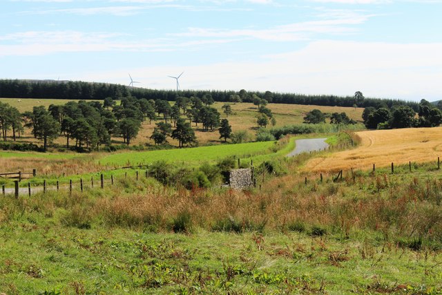
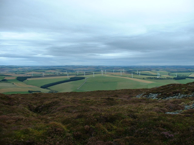
Play Hill is a prominent hill located in Aberdeenshire, Scotland. It is part of the Grampian Mountains range and is situated near the town of Insch. With an elevation of around 354 meters (1,161 feet), Play Hill offers breathtaking panoramic views of the surrounding countryside.

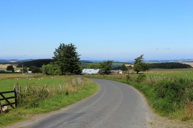
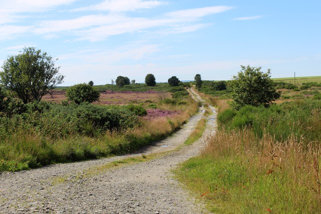
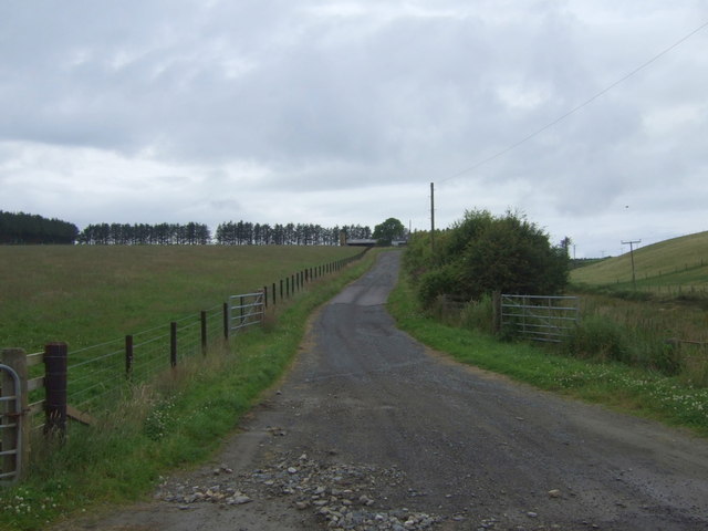
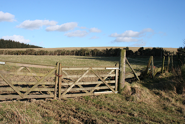
The hill is easily accessible to hikers and outdoor enthusiasts, with various well-defined paths and trails leading to its summit. The ascent is relatively gentle, making it suitable for people of all fitness levels. Along the way, visitors can enjoy the diverse flora and fauna that thrive in the area, including wildflowers, heather, and various bird species.

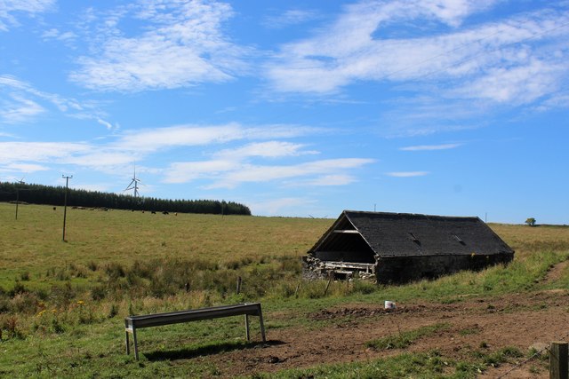
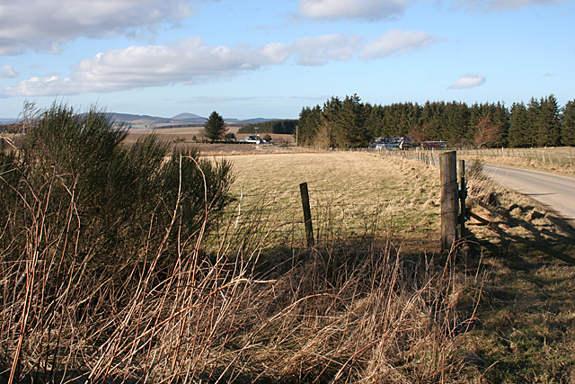
Upon reaching the summit, hikers are rewarded with stunning vistas of the Aberdeenshire countryside, including rolling hills, distant mountains, and picturesque farmland. On clear days, it is even possible to spot the North Sea coastline in the distance.

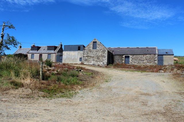
Play Hill is also steeped in history, with remnants of ancient settlements and burial mounds scattered throughout its slopes. These archaeological sites provide a glimpse into the area's rich heritage and offer a fascinating insight into the lives of its past inhabitants.

Due to its proximity to Insch, Play Hill is a popular destination for locals and tourists alike. It offers a tranquil escape from the hustle and bustle of everyday life, providing a serene and peaceful environment for walking, picnicking, or simply enjoying the natural beauty of the Scottish countryside.

If you have any feedback on the listing, please let us know in the comments section below.

Play Hill Images

Images are sourced within 2km of 57.418048/-2.6543447 or Grid Reference NJ6036. Thanks to Geograph Open Source API. All images are credited.

Fence-lined minor road leading to Denend Looking south-westward.
Fence-lined minor road leading to Denend
Looking south-westward.
Croft by Broom Hill A small croft by the roadway near Broom Hill.
Croft by Broom Hill
A small croft by the roadway near Broom Hill.
Track to Bisset Moss A track west into Bisset Moss.
Track to Bisset Moss
A track west into Bisset Moss.
Upper Millburn The shuttered and locked farmhouse and steading of Upper Millburn.
Upper Millburn
The shuttered and locked farmhouse and steading of Upper Millburn.
Millburn Barn An old disused building by Upper Millburn Farm. It's location by the Mill Burn would suggest that it contained the mill which gave the farm its name.
Millburn Barn
An old disused building by Upper Millburn Farm. It's location by the Mill Burn would suggest that it contained the mill which gave the farm its name.
Millburn Bridge A road bridge over the Mill Burn near Upper Millburn.
Millburn Bridge
A road bridge over the Mill Burn near Upper Millburn.
Minor road near Bog Farm
Track to Wedderburn North from the A96.
Track to Wedderburn
North from the A96.
A96 heading east  Towards Aberdeen.
A96 heading east
Towards Aberdeen.
Glens of Foudland
Glens of Foudland
Grazing, Braehead North of the A96.
Grazing, Braehead
North of the A96.
Sheep grazing, Braehead
Braehead
Braehead
A bend in the A96  Heading east towards Aberdeen.
A bend in the A96
Heading east towards Aberdeen.
Hillside grazing Off the A96.
Hillside grazing
Off the A96.
Upper Heathfield Upper Heathfield is on the left at the far side of the field, and to the right of the road is a cottage that is unnamed on the maps. The distinctive shape of Knock Hill is on the horizon.
Upper Heathfield
Upper Heathfield is on the left at the far side of the field, and to the right of the road is a cottage that is unnamed on the maps. The distinctive shape of Knock Hill is on the horizon.
Broom Hill Although it is a very modest hill - its summit is barely 30 metres above here - it has, or perhaps had, a triangulation pillar, which I might investigate one day when the wind drops a bit.
Broom Hill
Although it is a very modest hill - its summit is barely 30 metres above here - it has, or perhaps had, a triangulation pillar, which I might investigate one day when the wind drops a bit.
Show me another place!

Play Hill is located at Grid Ref: NJ6036 (Lat: 57.418048, Lng: -2.6543447)

Unitary Authority: Aberdeenshire

Police Authority: North East

What 3 Words

///impose.tube.crispier. Near Huntly, Aberdeenshire

Nearby Locations

Play Hill

Related Wikis

Bainshole

Bainshole is a farm in Aberdeenshire, Scotland. == References ==

Ythanwells

Ythanwells () is a village in the Marr area of Aberdeenshire, Scotland, lying 10.6 kilometres (6.6 mi) east of Huntly. The village is sometimes known...

Brideswell, Aberdeenshire

Brideswell (Scottish Gaelic: Tobar Bhrìde) is a village in Aberdeenshire, Scotland. It is named in honour of Brigid of Ireland.

Drumblade

Drumblade is a hamlet in north-western Aberdeenshire, Scotland, which lies 4¾ miles east of the town of Huntly. == Schools == Drumblade Primary School...

Nearby Amenities

Located within 500m of 57.418048,-2.6543447
Generator Method: wind_turbine
Generator Source: wind
Generator Type: horizontal_axis
Power: generator
Lat/Long: 57.4200934/-2.6540128
Generator Method: wind_turbine
Generator Source: wind
Generator Type: horizontal_axis
Power: generator
Lat/Long: 57.4172982/-2.6519958
Generator Method: wind_turbine
Generator Source: wind
Generator Type: horizontal_axis
Power: generator
Lat/Long: 57.4184295/-2.6569311
Generator Method: wind_turbine
Generator Source: wind
Generator Type: horizontal_axis
Power: generator
Lat/Long: 57.4171815/-2.6599352
The data included in this document is from www.openstreetmap.org. The data is made available under ODbL.

Have you been to Play Hill?

Leave your review of Play Hill below (or comments, questions and feedback).