Eaker Hill
Hill, Mountain in Somerset Mendip
England
Eaker Hill
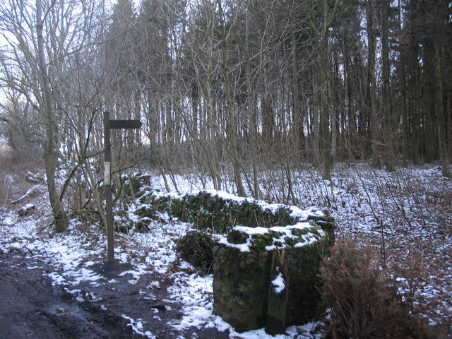
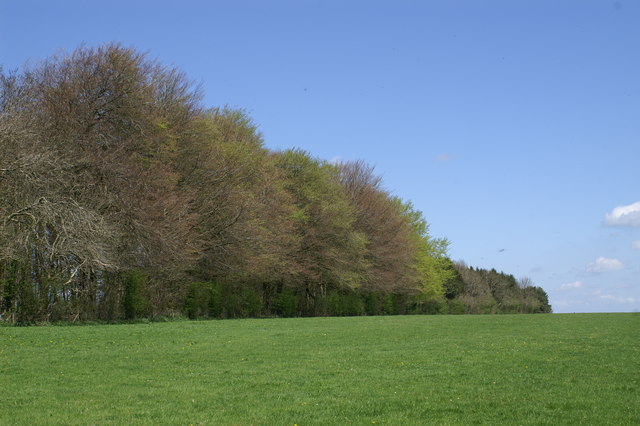
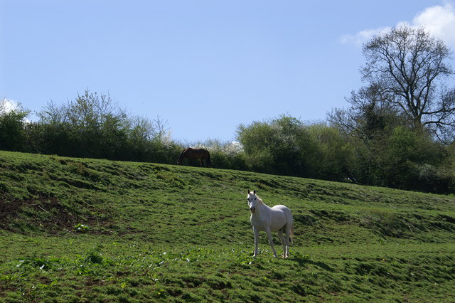
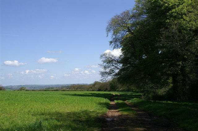
Eaker Hill is a prominent landmark located in Somerset, England. It is classified as a hill rather than a mountain due to its relatively moderate elevation. Sitting at an approximate height of 215 meters (705 feet) above sea level, Eaker Hill offers stunning panoramic views of the surrounding countryside.
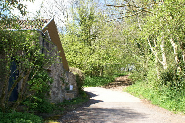
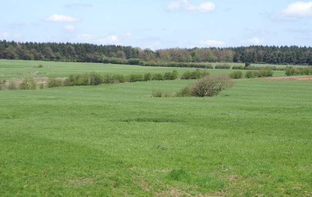
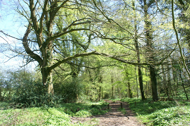
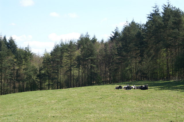
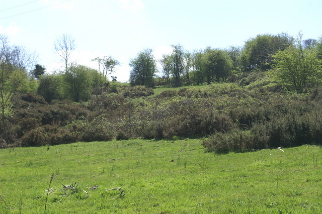
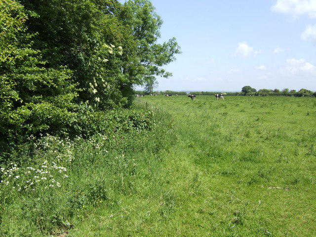
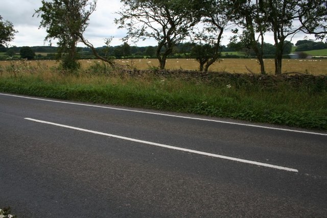
This hill is situated within the larger Eaker Hill Nature Reserve, which spans an area of approximately 200 acres. The reserve is characterized by its diverse range of flora and fauna, making it a popular destination for nature enthusiasts and hikers. The hill itself is covered in lush greenery, with patches of woodland and open meadows dotting its slopes.
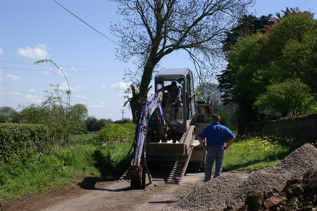
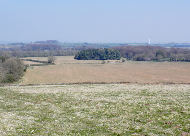
Eaker Hill is easily accessible to visitors, with well-maintained footpaths leading to its summit. The climb to the top is relatively gentle, making it suitable for individuals of all fitness levels. Once at the summit, visitors are rewarded with breathtaking vistas of the Somerset Levels and the Mendip Hills in the distance.
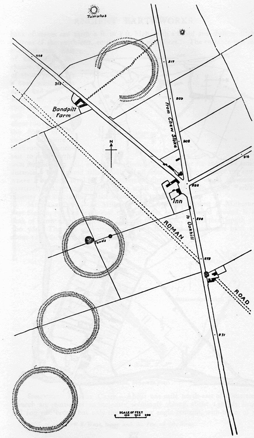
In addition to its natural beauty, Eaker Hill also boasts a rich historical significance. The area surrounding the hill is known to have been inhabited since prehistoric times, with several archaeological finds discovered in the vicinity. These include ancient burial mounds and remnants of Iron Age settlements.
Overall, Eaker Hill in Somerset offers a delightful combination of scenic views, diverse wildlife, and a glimpse into the region's past. Whether you are a nature lover, history enthusiast, or simply seeking a peaceful escape, Eaker Hill is a must-visit destination in Somerset.
If you have any feedback on the listing, please let us know in the comments section below.
Eaker Hill Images
Images are sourced within 2km of 51.268493/-2.6207435 or Grid Reference ST5652. Thanks to Geograph Open Source API. All images are credited.


Eaker Hill is located at Grid Ref: ST5652 (Lat: 51.268493, Lng: -2.6207435)
Administrative County: Somerset
District: Mendip
Police Authority: Avon and Somerset
What 3 Words
///victor.empty.absent. Near Mendip, Somerset
Nearby Locations
Related Wikis

Attborough Swallet
Attborough Swallet (also known as Red Quar Swallet) is a cave in Chewton Mendip in Somerset, England. It is unusual for a cave on the Mendip Hills in that...

Stock Hill
Stock Hill (grid reference ST5551) is a Forestry Commission plantation on the Mendip Hills, Somerset, England. It lies to the south of the B3135 which...

Priddy Mineries
Priddy Mineries (grid reference ST547515) is a nature reserve previously run by the Somerset Wildlife Trust. It is in the village of Priddy, on the Mendip...

Smitham Chimney, East Harptree
Smitham Chimney is a chimney which was used for lead mining just outside the village of East Harptree, in the parish of Priddy, Somerset, England. It is...

Priddy Pools
Priddy Pools (grid reference ST545510) is a 52.7-hectare (130-acre) geological Site of Special Scientific Interest at Priddy in the Mendip Hills, Somerset...
Drove Cottage Henge
Drove Cottage Henge (sometimes called Hunter's Lodge Henge) is a scheduled monument in the Priddy parish of Somerset, England. It is located 370 metres...
Priddy Circles
Priddy Circles are a linear arrangement of four circular earthwork enclosures near the village of Priddy on the Mendip Hills in Somerset, England. The...

Wurt Pit and Devil's Punchbowl
Wurt Pit and Devil's Punchbowl (grid reference ST543537) is a 0.2 hectare (0.5 acre) geological Site of Special Scientific Interest between East Harptree...
Nearby Amenities
Located within 500m of 51.268493,-2.6207435Have you been to Eaker Hill?
Leave your review of Eaker Hill below (or comments, questions and feedback).