Eaker Hill Wood
Wood, Forest in Somerset Mendip
England
Eaker Hill Wood
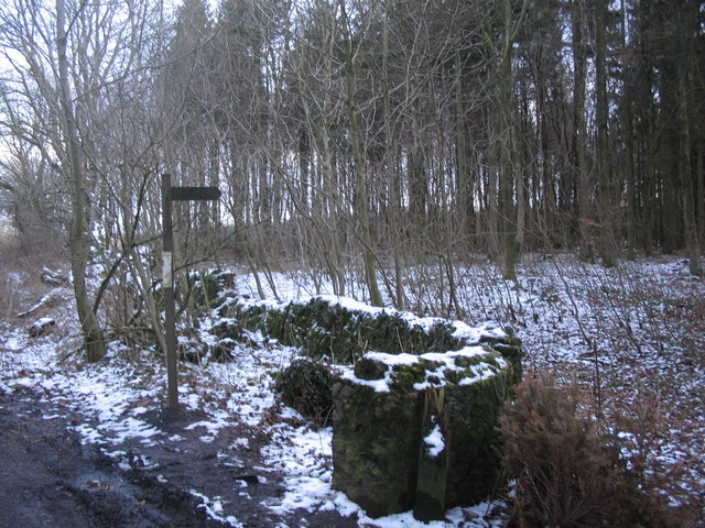
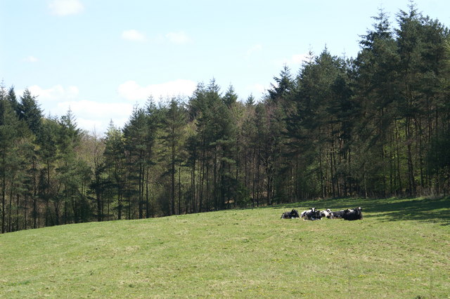
Eaker Hill Wood is a picturesque woodland located in Somerset, England. Stretching over an area of approximately 50 acres, it is a remarkable natural site that attracts a plethora of visitors throughout the year. The wood is easy to access, situated just off the A303 road near the village of Sparkford.
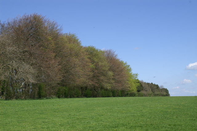
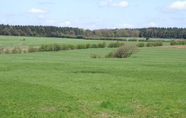
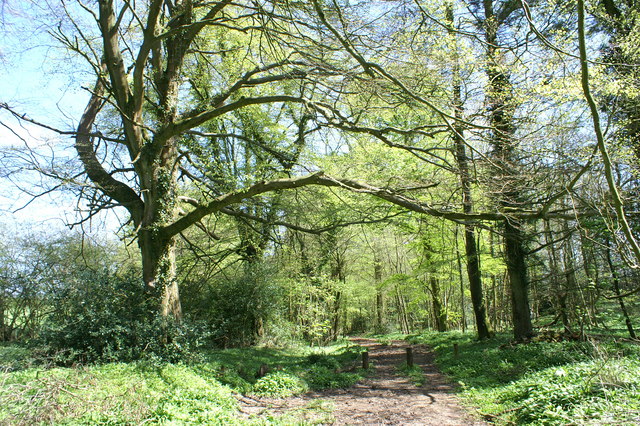
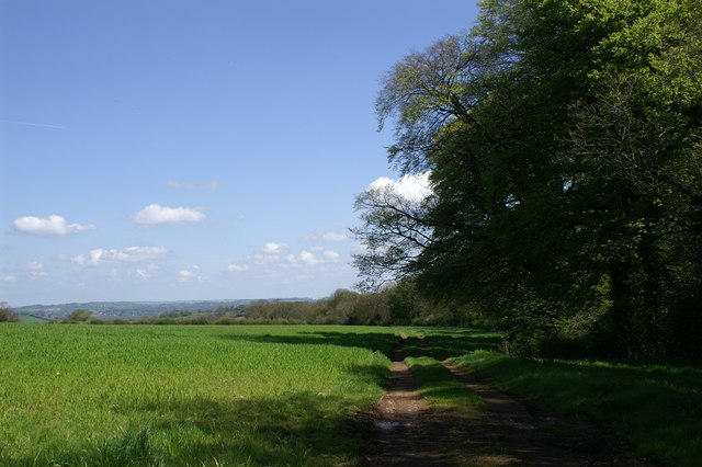
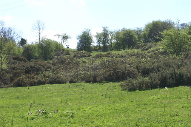
This ancient woodland boasts a diverse range of flora and fauna, making it a haven for nature enthusiasts. The tree canopy is predominantly composed of native species such as oak, beech, and birch, providing a serene and tranquil atmosphere. The forest floor is adorned with an array of wildflowers, including bluebells, primroses, and foxgloves, creating a vibrant and colorful landscape during the spring and summer months.
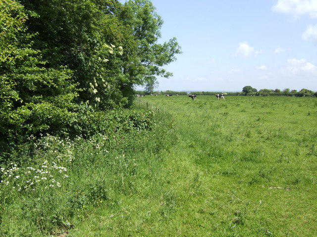
Eaker Hill Wood is also home to various wildlife species, offering the opportunity for wildlife spotting and birdwatching. Visitors may catch glimpses of deer, badgers, and foxes, as well as an assortment of bird species such as woodpeckers, nuthatches, and owls.
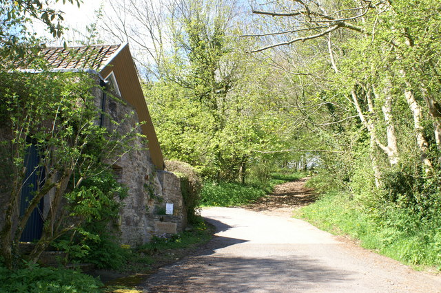
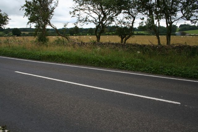
The wood features numerous well-maintained footpaths, allowing visitors to explore its beauty at their own pace. These paths wind through the woodland, offering scenic views and opportunities for peaceful walks and picnics. Additionally, the wood is equipped with benches strategically placed to provide resting spots and vistas of the surrounding countryside.
Eaker Hill Wood is a cherished natural gem in Somerset, offering a retreat from the hustle and bustle of everyday life. Whether it be for a leisurely stroll, nature observation, or simply to enjoy the tranquility of the great outdoors, this woodland is a must-visit destination for nature lovers and those seeking a respite in nature.
If you have any feedback on the listing, please let us know in the comments section below.
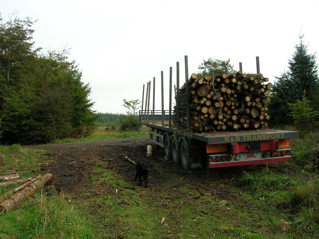
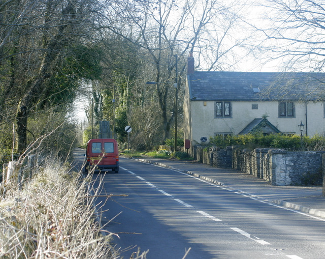
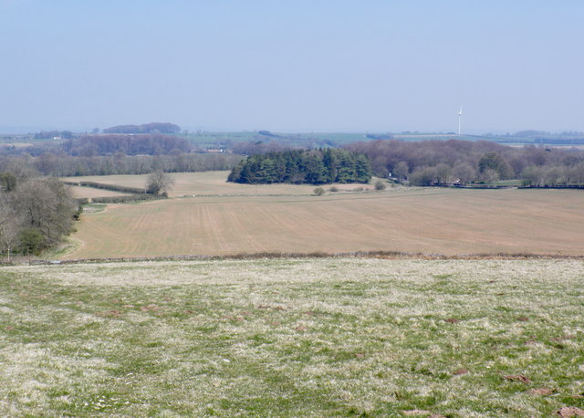
Eaker Hill Wood Images
Images are sourced within 2km of 51.266274/-2.6202979 or Grid Reference ST5652. Thanks to Geograph Open Source API. All images are credited.


Eaker Hill Wood is located at Grid Ref: ST5652 (Lat: 51.266274, Lng: -2.6202979)
Administrative County: Somerset
District: Mendip
Police Authority: Avon and Somerset
What 3 Words
///slug.cupboards.signal. Near Mendip, Somerset
Nearby Locations
Related Wikis

Attborough Swallet
Attborough Swallet (also known as Red Quar Swallet) is a cave in Chewton Mendip in Somerset, England. It is unusual for a cave on the Mendip Hills in that...

Stock Hill
Stock Hill (grid reference ST5551) is a Forestry Commission plantation on the Mendip Hills, Somerset, England. It lies to the south of the B3135 which...

Priddy Mineries
Priddy Mineries (grid reference ST547515) is a nature reserve previously run by the Somerset Wildlife Trust. It is in the village of Priddy, on the Mendip...
Drove Cottage Henge
Drove Cottage Henge (sometimes called Hunter's Lodge Henge) is a scheduled monument in the Priddy parish of Somerset, England. It is located 370 metres...

Priddy Pools
Priddy Pools (grid reference ST545510) is a 52.7-hectare (130-acre) geological Site of Special Scientific Interest at Priddy in the Mendip Hills, Somerset...

Smitham Chimney, East Harptree
Smitham Chimney is a chimney which was used for lead mining just outside the village of East Harptree, in the parish of Priddy, Somerset, England. It is...
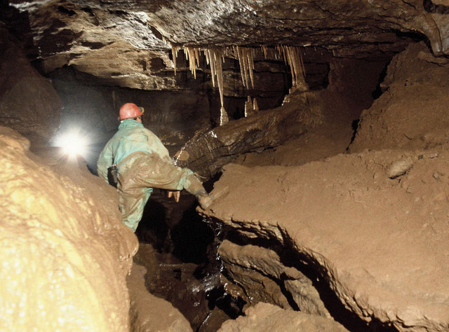
St Cuthbert's Swallet
St Cuthbert's Swallet is the second longest, and most complex, cave on the Mendip Hills, in Somerset, England. It forms a major part of the Priddy Caves...
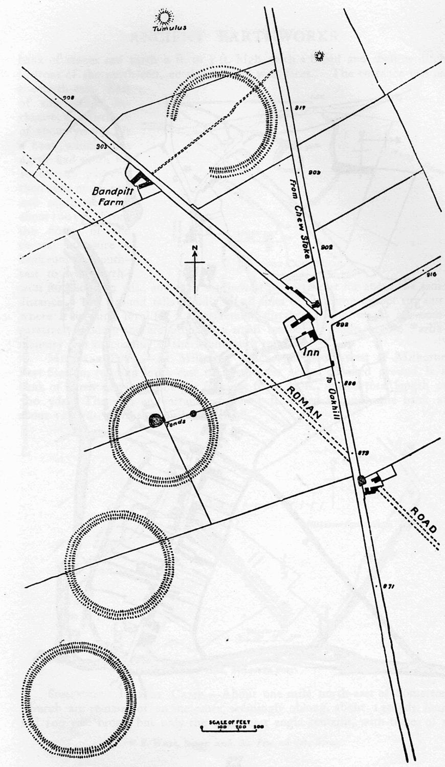
Priddy Circles
Priddy Circles are a linear arrangement of four circular earthwork enclosures near the village of Priddy on the Mendip Hills in Somerset, England. The...
Nearby Amenities
Located within 500m of 51.266274,-2.6202979Have you been to Eaker Hill Wood?
Leave your review of Eaker Hill Wood below (or comments, questions and feedback).