End, West
Settlement in Somerset Mendip
England
End, West
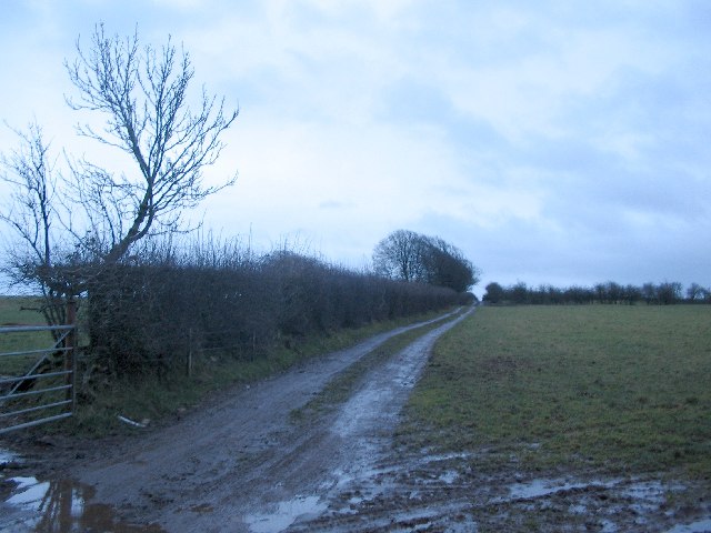
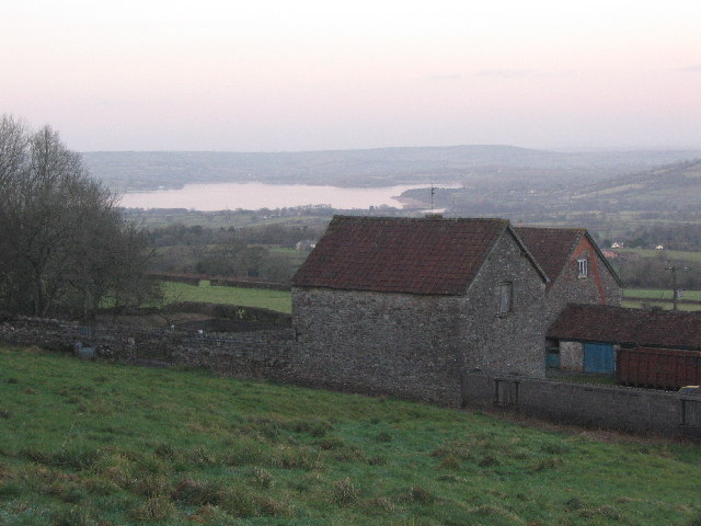
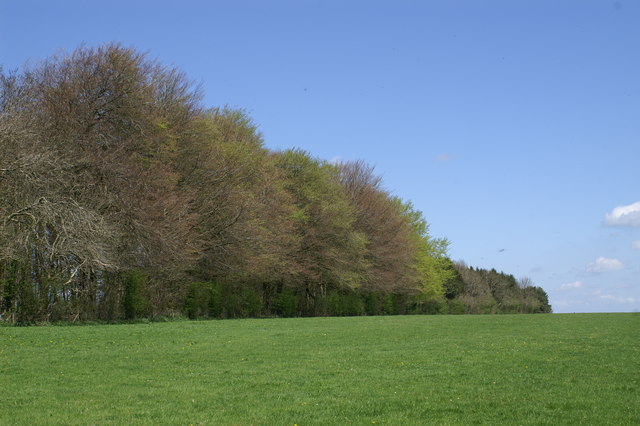
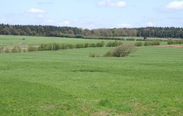
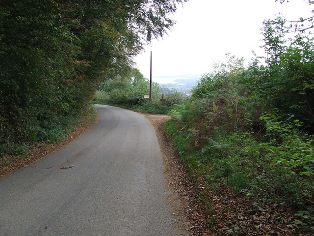
End, West Somerset, is a small village located in the county of Somerset, England. Situated in the south-western region of the country, it lies within the civil parish of Luxborough. The village is surrounded by picturesque countryside, with rolling hills and lush green fields as far as the eye can see.
End is a quintessential English village, known for its idyllic charm and peaceful atmosphere. The community is built around a central village square, which features a charming 14th-century church, St Mary's Church, as its prominent landmark. The church showcases stunning architectural details, including a spire and stained-glass windows, making it a popular spot for visitors and locals alike.
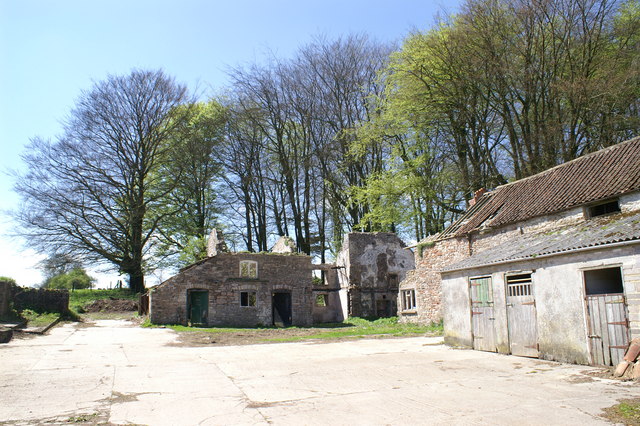
The village is home to a small, close-knit community that takes great pride in their surroundings. Residents can enjoy the tranquility of rural life while still having access to essential amenities. While there are no shops or businesses within the village itself, nearby towns and villages provide all necessary services and amenities.
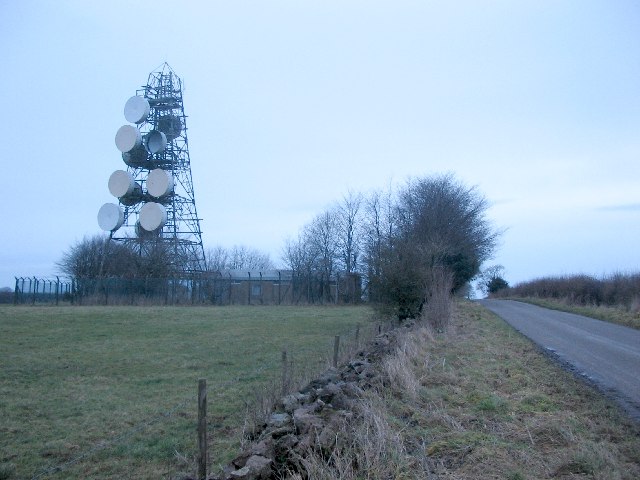
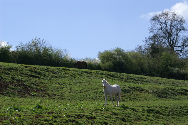
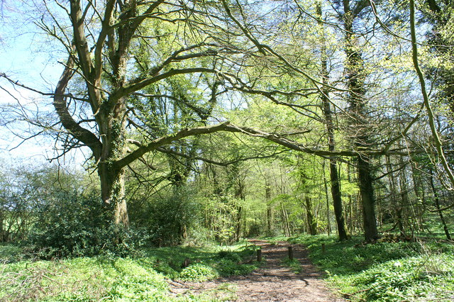
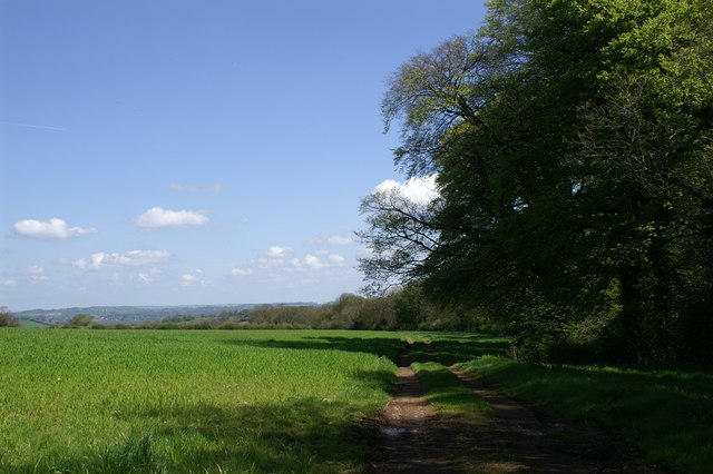
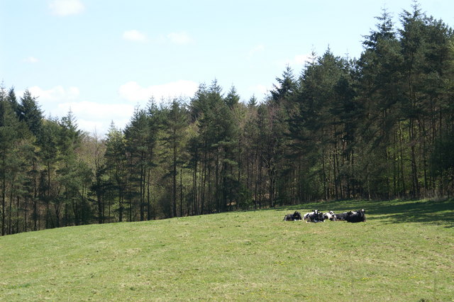
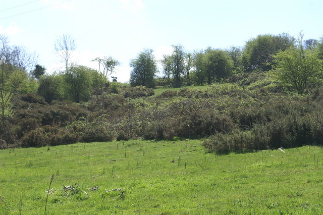
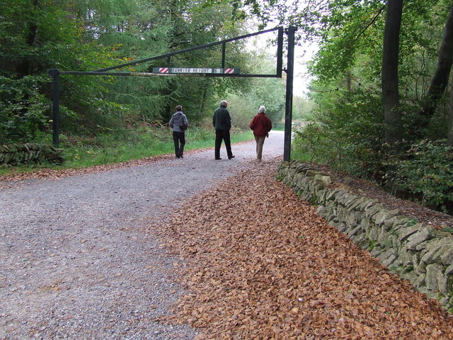
End is also a fantastic location for those seeking outdoor activities and natural beauty. The surrounding countryside offers ample opportunities for hiking, cycling, and exploring the great outdoors. Nature enthusiasts can discover the nearby Exmoor National Park, which is renowned for its diverse wildlife and breathtaking landscapes.
In summary, End, West Somerset, is a charming village that offers a peaceful respite from the bustling modern world. With its picturesque countryside, historic church, and access to outdoor activities, it is an ideal destination for those seeking a tranquil escape in the heart of rural England.
If you have any feedback on the listing, please let us know in the comments section below.
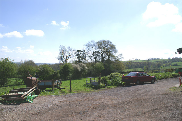
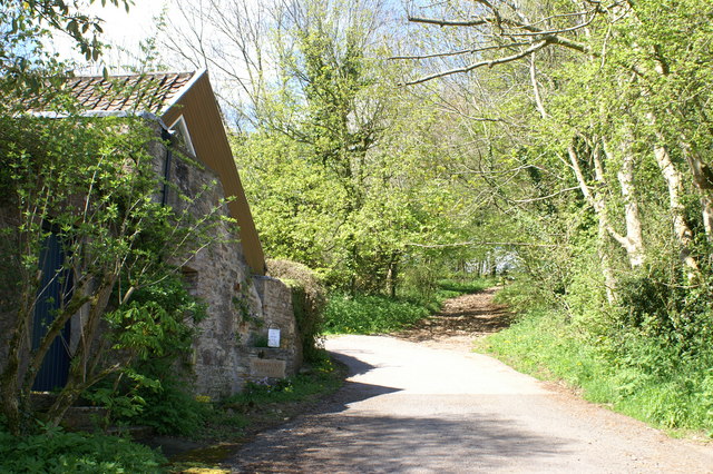
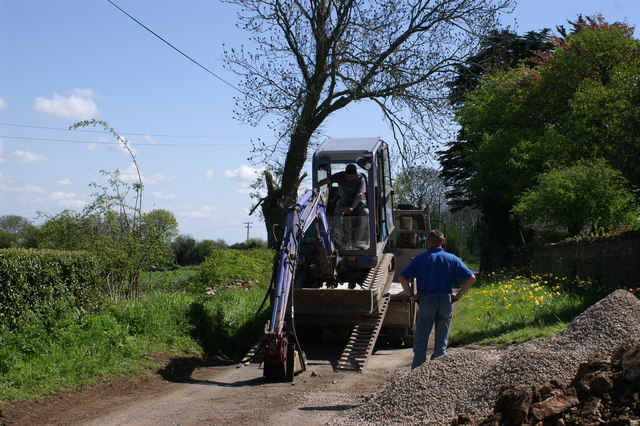
End, West Images
Images are sourced within 2km of 51.273794/-2.6230943 or Grid Reference ST5652. Thanks to Geograph Open Source API. All images are credited.
End, West is located at Grid Ref: ST5652 (Lat: 51.273794, Lng: -2.6230943)
Administrative County: Somerset
District: Mendip
Police Authority: Avon and Somerset
What 3 Words
///divisions.notch.ranted. Near East Harptree, Somerset
Nearby Locations
Related Wikis

Attborough Swallet
Attborough Swallet (also known as Red Quar Swallet) is a cave in Chewton Mendip in Somerset, England. It is unusual for a cave on the Mendip Hills in that...

Smitham Chimney, East Harptree
Smitham Chimney is a chimney which was used for lead mining just outside the village of East Harptree, in the parish of Priddy, Somerset, England. It is...

Priddy Mineries
Priddy Mineries (grid reference ST547515) is a nature reserve previously run by the Somerset Wildlife Trust. It is in the village of Priddy, on the Mendip...

Wurt Pit and Devil's Punchbowl
Wurt Pit and Devil's Punchbowl (grid reference ST543537) is a 0.2 hectare (0.5 acre) geological Site of Special Scientific Interest between East Harptree...

Stock Hill
Stock Hill (grid reference ST5551) is a Forestry Commission plantation on the Mendip Hills, Somerset, England. It lies to the south of the B3135 which...

Eastwood Manor
Eastwood Manor is a Grade II listed building in the village of East Harptree in the English County of Somerset. == History == A house was built at Eastwood...
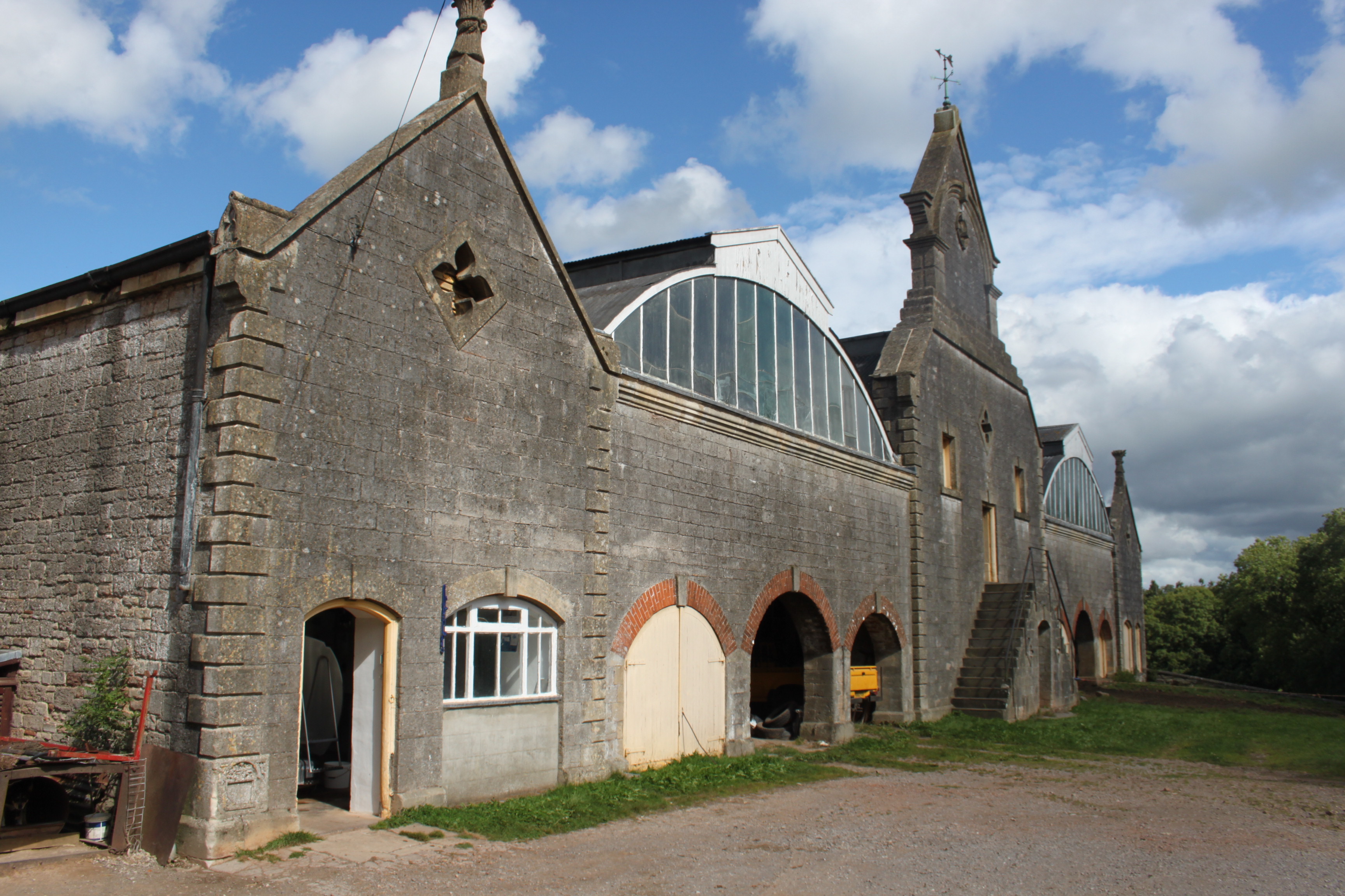
Eastwood Manor Farm Steading
Eastwood Manor Farm Steading in East Harptree, Somerset, England is a Grade I listed building.The farm including the site for the construction of Eastwood...
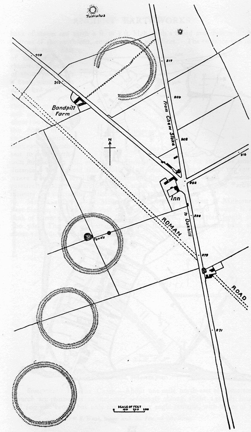
Priddy Circles
Priddy Circles are a linear arrangement of four circular earthwork enclosures near the village of Priddy on the Mendip Hills in Somerset, England. The...
Nearby Amenities
Located within 500m of 51.273794,-2.6230943Have you been to End, West?
Leave your review of End, West below (or comments, questions and feedback).