West End
Settlement in Somerset
England
West End
West End is a small village located in the county of Somerset, England. Situated in the picturesque Mendip Hills, it is nestled between the towns of Shepton Mallet and Wells. With a population of around 1,500 residents, it retains a charming and close-knit community atmosphere.
The village is known for its idyllic rural setting, surrounded by rolling hills, lush green fields, and dense woodlands. It offers stunning views of the surrounding countryside, making it a popular destination for nature lovers and hikers. The West End Nature Reserve, located on the outskirts of the village, provides a haven for wildlife and offers several walking trails for visitors to explore.
West End has a rich history, with evidence of human habitation dating back to the Roman era. The village itself boasts several historic buildings, including St. Matthew's Church, a Grade II listed structure dating back to the 13th century. The church is known for its beautiful stained glass windows and a peaceful churchyard.
Despite its tranquil setting, West End is conveniently located near major transport links. The A371 road runs through the village, connecting it to nearby towns and cities. The city of Bristol is approximately 20 miles to the northwest, offering a range of shopping, cultural, and entertainment opportunities.
In terms of amenities, West End offers a primary school, a village hall, and a pub, which serves as a social hub for locals. Although small in size, the village exudes a warm and welcoming atmosphere, making it a desirable place to live or visit for those seeking a peaceful and scenic retreat in the heart of Somerset.
If you have any feedback on the listing, please let us know in the comments section below.
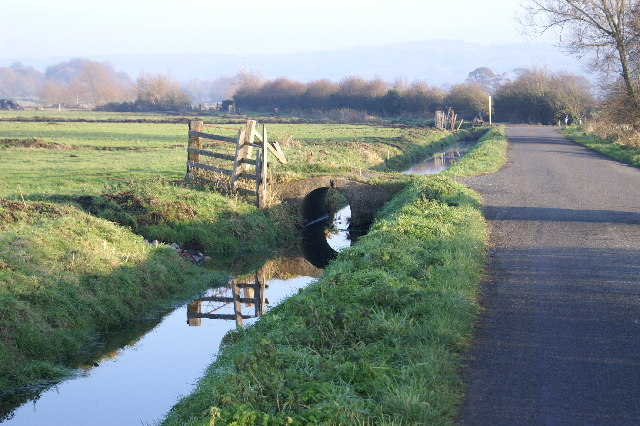
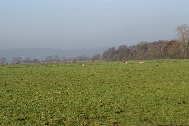
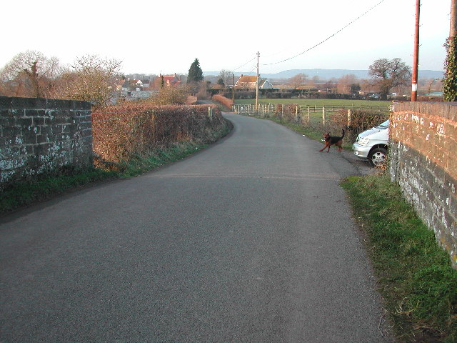
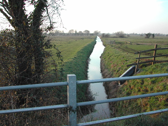
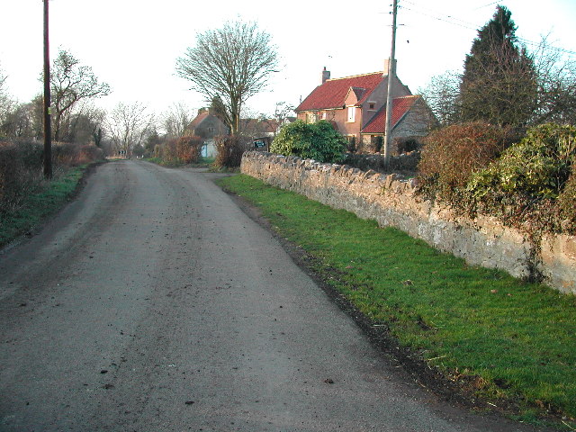
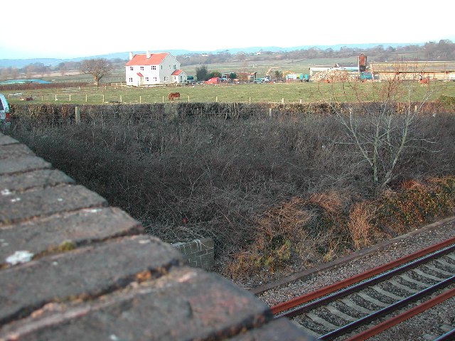
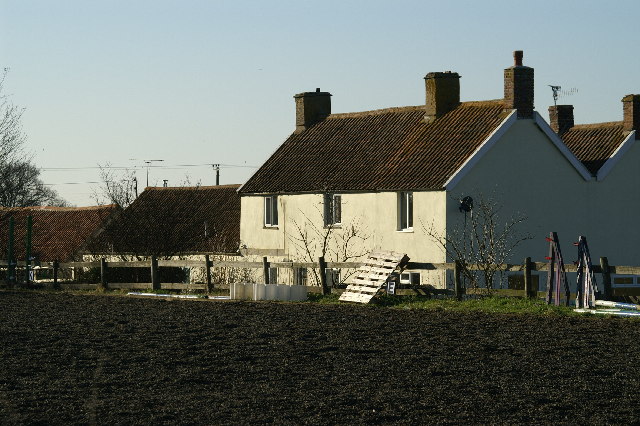
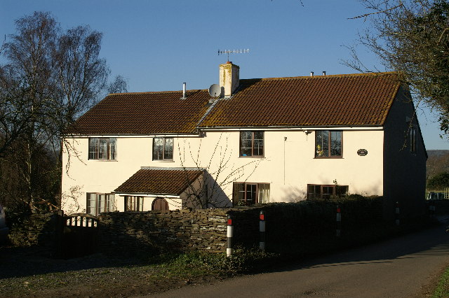
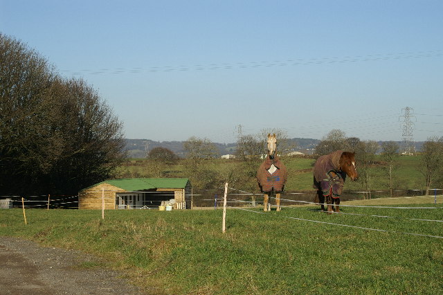
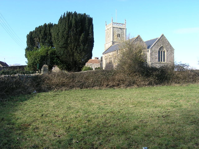
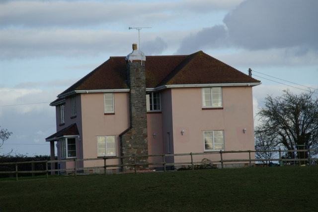
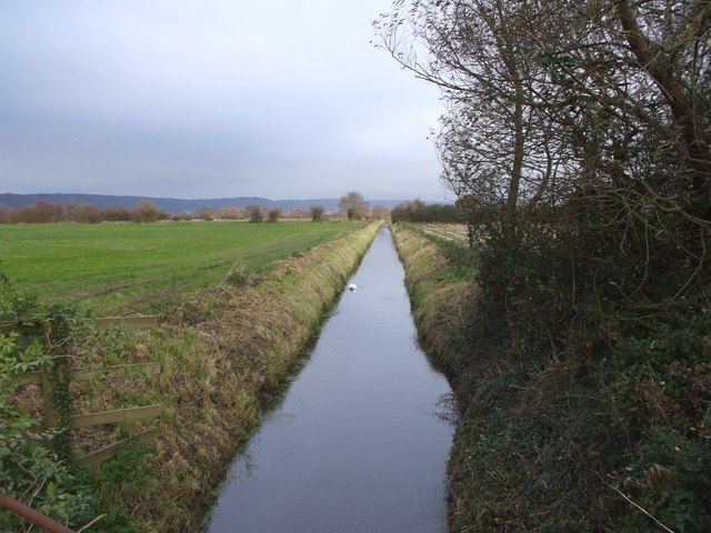
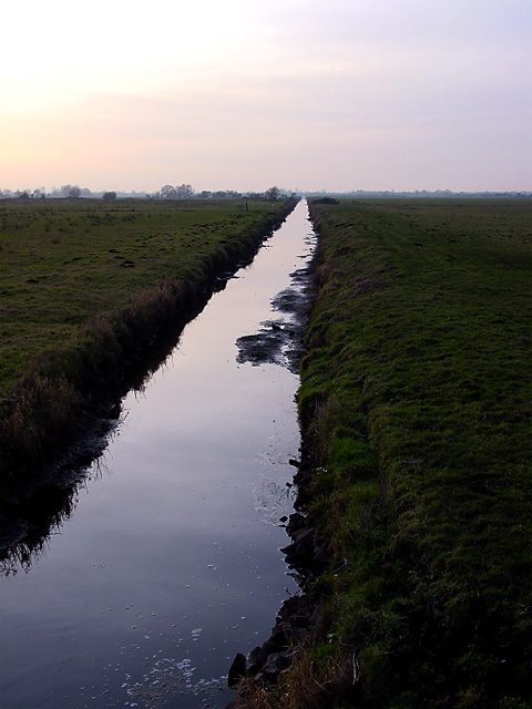
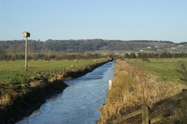
West End Images
Images are sourced within 2km of 51.419978/-2.7935857 or Grid Reference ST4469. Thanks to Geograph Open Source API. All images are credited.

West End is located at Grid Ref: ST4469 (Lat: 51.419978, Lng: -2.7935857)
Unitary Authority: North Somerset
Police Authority: Avon and Somerset
What 3 Words
///homecare.proclaims.bibs. Near Nailsea, Somerset
Related Wikis
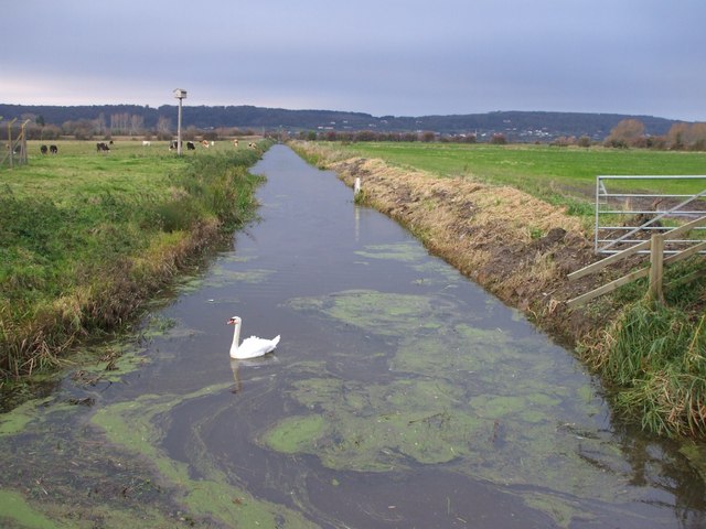
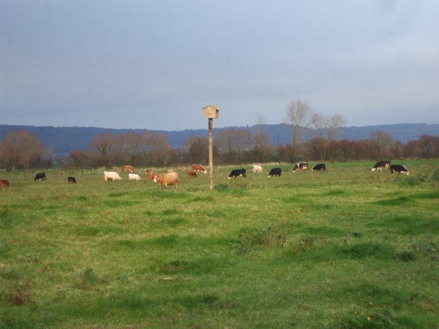
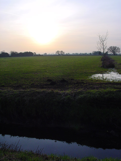
Tickenham, Nailsea and Kenn Moors SSSI
Tickenham, Nailsea and Kenn Moors SSSI (grid reference ST440700) is a 129.4 hectare biological Site of Special Scientific Interest between Tickenham, Nailsea...

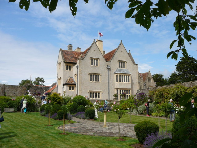
Nailsea Court
Nailsea Court in Nailsea, Somerset, England, is an English manor house dating from the 15th century. Pevsner describes the house as "historically highly...

Holy Trinity Church, Nailsea
Holy Trinity Church is an Anglican Church in Nailsea, Somerset, England. It dates from the 15th century and is a Grade I listed building. It features a...

Chelvey Court
Chelvey Court in the village of Chelvey near Brockley in the English county of Somerset was a large manor house built between 1618 and 1660 for Edward...
Nearby Amenities
Located within 500m of 51.419978,-2.7935857Have you been to West End?
Leave your review of West End below (or comments, questions and feedback).