End, West

Settlement in Somerset

England

End, West

Rhyne Bridge
Rhyne Bridge Credit: Adrian and Janet Quantock

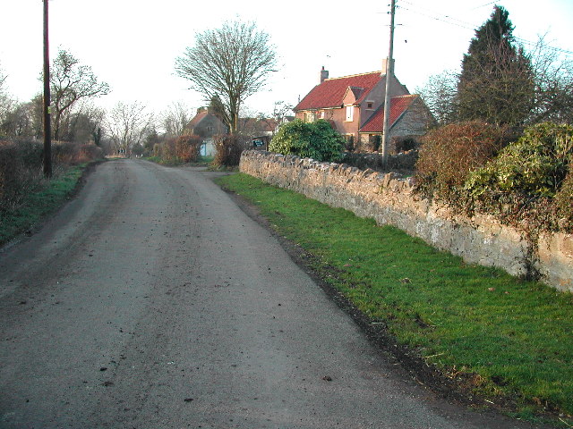
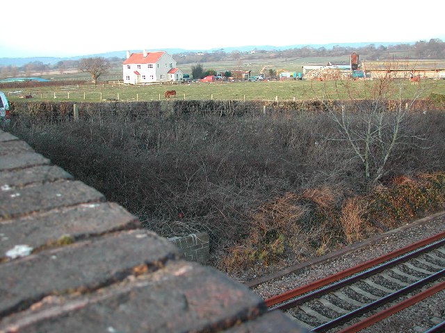
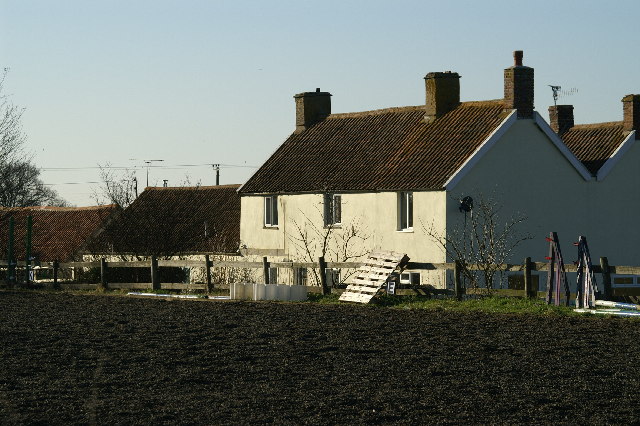
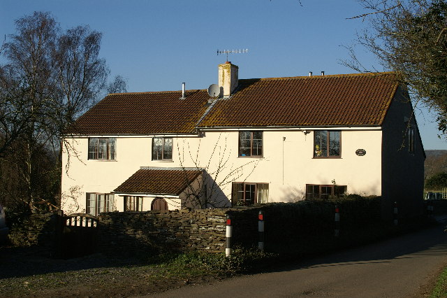
End, West Somerset is a small village located in the county of Somerset, England. Situated in the picturesque Exmoor National Park, it is surrounded by stunning natural beauty, including rolling hills, lush green fields, and charming countryside.

The village is home to a close-knit community and has a population of around 200 residents. It exudes a peaceful and tranquil atmosphere, making it an ideal destination for those seeking a quiet retreat from the hustle and bustle of city life.

End is renowned for its traditional charm, with many of the houses and buildings dating back centuries. The architecture reflects the region's rich history, with thatched roofs, stone walls, and quaint cottages that add to its idyllic appeal.

There are several amenities available to residents and visitors alike. These include a local pub, a village hall, and a small convenience store, ensuring that basic needs are met within the village itself. For more extensive shopping and leisure options, the nearby town of Minehead is easily accessible.

The village is also a gateway to the stunning natural landscapes of Exmoor National Park. Outdoor enthusiasts can enjoy a variety of activities, such as hiking, cycling, and horse riding, as well as exploring the numerous walking trails that crisscross the area.

Overall, End, West Somerset offers a peaceful escape in a picturesque setting. Its natural beauty, historical charm, and strong sense of community make it a truly special place to visit or call home.

If you have any feedback on the listing, please let us know in the comments section below.
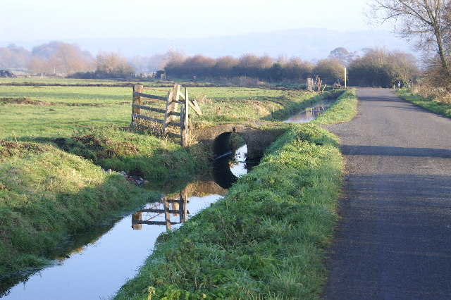
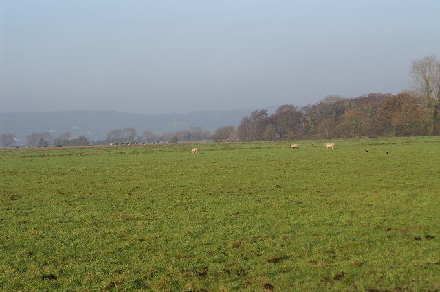
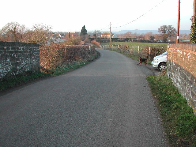
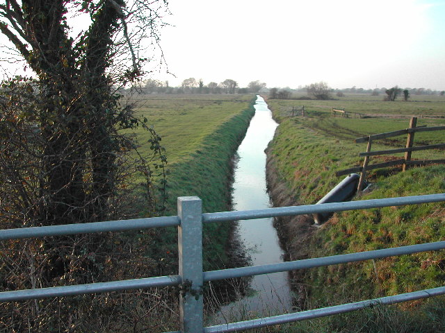
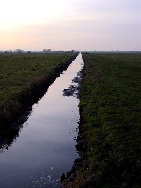
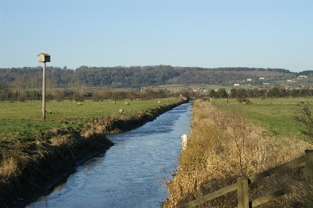
End, West Images

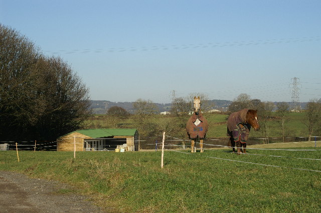
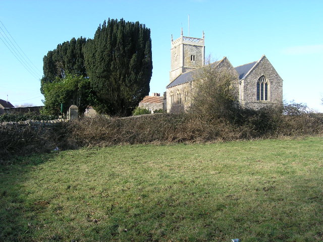
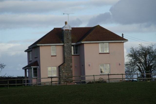
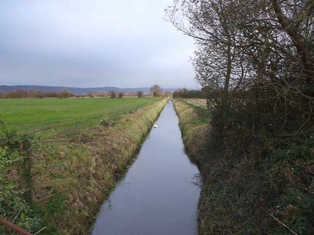
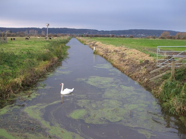
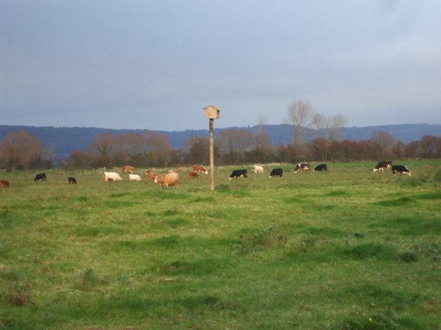
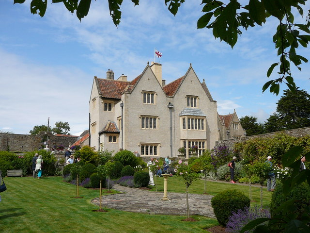
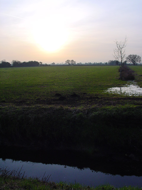
Images are sourced within 2km of 51.419978/-2.7935857 or Grid Reference ST4469. Thanks to Geograph Open Source API. All images are credited.

Kenn Moor Looking North
Kenn Moor
Looking North
Kenn Moor Gate looking North West from railway bridge
Rhyne at Kenn Moor Gate looking North West
The hamlet of Kenn Moor Gate
Farmland at Kenn Moor Gate
Rhyne on Kenn Moor
Rhyne on Kenn Moor
Broadmead Cottage
Broadmead Cottage
Horses and Stables
Horses and Stables
Chelvey, St Bridget's Church
Ten Feet Rhyne, Nailsea Moor
Rhyne, swan and duckweed Clevedon Boundary Rhyne, Nailsea Moor.
Rhyne, swan and duckweed
Clevedon Boundary Rhyne, Nailsea Moor.
Cattle, Nailsea Moor And is that some sort of nesting-box on the pole?
Cattle, Nailsea Moor
And is that some sort of nesting-box on the pole?
Nailsea Court - (gardens open day)
Nailsea Moor Standing on "The Causeway" looking to the South West across the Moor - low lying land separated by drainage channels known as Rhynes. Without the Rhynes it would be marshland, but is now good agricultural land.
Nailsea Moor
Standing on "The Causeway" looking to the South West across the Moor - low lying land separated by drainage channels known as Rhynes. Without the Rhynes it would be marshland, but is now good agricultural land.
Tickenham Boundary Rhyne looking SW Standing on Causeway Bridge looking across Nailsea Moor along the Tickenham Boundary Rhyne.
Tickenham Boundary Rhyne looking SW
Standing on Causeway Bridge looking across Nailsea Moor along the Tickenham Boundary Rhyne.
Show me another place!

End, West is located at Grid Ref: ST4469 (Lat: 51.419978, Lng: -2.7935857)

Unitary Authority: North Somerset

Police Authority: Avon and Somerset

What 3 Words

///homecare.proclaims.bibs. Near Nailsea, Somerset

Nearby Locations

West End End, West

Related Wikis

Tickenham, Nailsea and Kenn Moors SSSI

Tickenham, Nailsea and Kenn Moors SSSI (grid reference ST440700) is a 129.4 hectare biological Site of Special Scientific Interest between Tickenham, Nailsea...

Nailsea Court

Nailsea Court in Nailsea, Somerset, England, is an English manor house dating from the 15th century. Pevsner describes the house as "historically highly...

Holy Trinity Church, Nailsea

Holy Trinity Church is an Anglican Church in Nailsea, Somerset, England. It dates from the 15th century and is a Grade I listed building. It features a...

Chelvey Court

Chelvey Court in the village of Chelvey near Brockley in the English county of Somerset was a large manor house built between 1618 and 1660 for Edward...

Nearby Amenities

Located within 500m of 51.419978,-2.7935857
Addr Housename: Myrtle Farm
Addr Housenumber: Myrtle Farm
Source: OS_OpenData_StreetView
Lat/Long: 51.4170431/-2.7956955
Addr Housename: Elm Tree Farm
Addr Housenumber: Elm Tree Farm
Source: OS_OpenData_StreetView
Lat/Long: 51.4168023/-2.7966181
Post Box
Collection Times: Mo-Fr 17:00; Sa 08:00
Operator: Royal Mail
Post Box Type: wall
Ref: BS48 95
Royal Cypher: VR
Lat/Long: 51.4176281/-2.794756
Barrier: kissing_gate
Lat/Long: 51.4207524/-2.7903678
Barrier: stile
Lat/Long: 51.4241336/-2.7961917
Barrier: stile
Lat/Long: 51.4242807/-2.7953589
West End
Place: hamlet
Lat/Long: 51.4198449/-2.7930104
Walnut Garage
Addr City: Bristol
Addr Housename: Walnut Garage
Addr Postcode: BS48 4DE
Addr Street: Nailsea Wall Lane
Opening Hours: Mo-Fr 08:00-17:00
Payment Cash: yes
Payment Credit Cards: yes
Payment Debit Cards: yes
Service Vehicle Air Conditioning: yes
Service Vehicle Brakes: yes
Service Vehicle Car Repair: yes
Service Vehicle Diagnostics: yes
Service Vehicle Inspection: yes
Service Vehicle Oil Change: yes
Service Vehicle Repairs: yes
Shop: car_repair
Lat/Long: 51.4171999/-2.7935395
Brand: National Grid
Brand Wikidata: Q1465461
Material: wood
Operator: National Grid Electricity Distribution Plc
Operator Old: Western Power Distribution
Operator Wikidata: Q7988183
Owner: National Grid Electricity Distribution (South West) Plc
Owner Wikidata: Q114397866
Power: pole
Lat/Long: 51.4242121/-2.7952507
Brand: National Grid
Brand Wikidata: Q1465461
Material: wood
Operator: National Grid Electricity Distribution Plc
Operator Old: Western Power Distribution
Operator Wikidata: Q7988183
Owner: National Grid Electricity Distribution (South West) Plc
Owner Wikidata: Q114397866
Power: pole
Lat/Long: 51.424232/-2.7931713
Booth: K6
Covered: booth
Disused Amenity: telephone
Man Made: telephone_box
Old Phone: +44 1275 866821
Lat/Long: 51.4175784/-2.7947254
Defibrillator
Access: yes
Defibrillator Location: next to old red phone box in West End
Emergency: defibrillator
Indoor: no
Lat/Long: 51.4175753/-2.7947012
Bench
Lat/Long: 51.4175658/-2.7946842
The data included in this document is from www.openstreetmap.org. The data is made available under ODbL.

Have you been to End, West?

Leave your review of End, West below (or comments, questions and feedback).