Black Hill

Hill, Mountain in Cumberland Eden

England

Black Hill

Field by Mastone Steps
Field by Mastone Steps Credit: Richard Webb

Black Hill is a prominent hill/mountain located in the Cumberland region of England. Standing at an elevation of 609 meters (1,998 feet), it is one of the highest peaks in the area. The hill/mountain is part of the larger North Pennines Area of Outstanding Natural Beauty, known for its stunning landscapes and rich biodiversity.

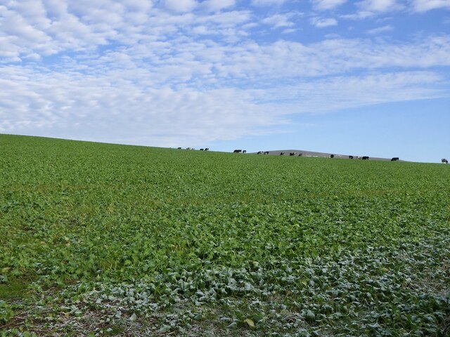
Black Hill is characterized by its steep slopes and rocky terrain, which are remnants of its volcanic origins. The hill/mountain is predominantly composed of basalt, a type of volcanic rock that gives it a distinct dark appearance, hence the name "Black Hill." Its striking features make it a popular destination for hikers, mountaineers, and nature enthusiasts.

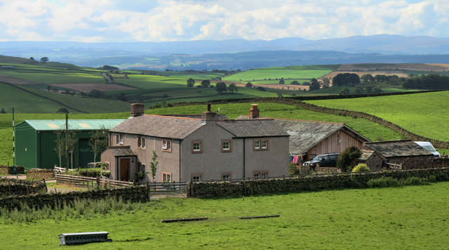
The summit of Black Hill offers breathtaking panoramic views of the surrounding countryside, including the picturesque valleys, rolling hills, and nearby reservoirs. On clear days, it is even possible to spot the distant Lake District and Scottish borders. The hill/mountain is also home to a variety of flora and fauna, including heather, bilberry, and various bird species.

There are several walking routes and trails that lead to the summit of Black Hill, catering to different levels of difficulty and preferences. The most popular route is the Pennine Way, a long-distance footpath that passes through the area and provides access to the hill/mountain. Due to its remote location and rugged terrain, it is advisable for visitors to come well-prepared with appropriate clothing, footwear, and supplies.

Overall, Black Hill in Cumberland is a captivating natural landmark that offers a rewarding outdoor experience for those seeking adventure and a chance to immerse themselves in the beauty of the North Pennines.

If you have any feedback on the listing, please let us know in the comments section below.
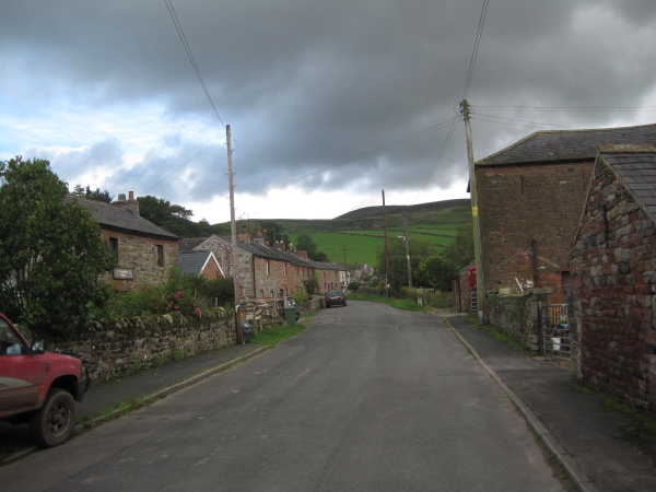
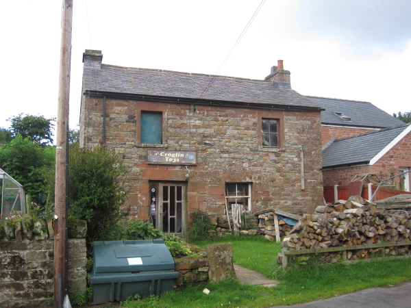
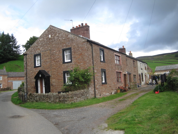
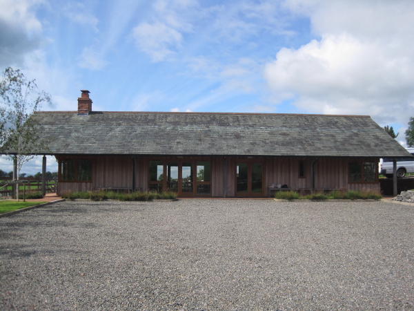
Black Hill Images

Images are sourced within 2km of 54.807049/-2.6735113 or Grid Reference NY5646. Thanks to Geograph Open Source API. All images are credited.

Field by Mastone Steps
Cattle on Winter pasture A root crop by the looks of it. They had not been in there long.
Cattle on Winter pasture
A root crop by the looks of it. They had not been in there long.
OS Benchmark or not In the position of an OS bench mark as marked on 1860s OS map yet lacking the central line of the arrow.
OS Benchmark or not
In the position of an OS bench mark as marked on 1860s OS map yet lacking the central line of the arrow.
Plantation Nook The farmhouse at Plantation Nook above Croglin.
Plantation Nook
The farmhouse at Plantation Nook above Croglin.
Plantation Nook Shooting Lodge at Plantation Nook.
Plantation Nook
Shooting Lodge at Plantation Nook.
Croglin St John the Baptist Church in Croglin.
Croglin
St John the Baptist Church in Croglin.
Croglin Bridge Croglin Bridge carrying the road over Croglin Water.
Croglin Bridge
Croglin Bridge carrying the road over Croglin Water.
Croglin The Robin Hood at Croglin.
Croglin
The Robin Hood at Croglin.
Lino Beck Clay pigeon shooting near Lino Beck outside Croglin.
Lino Beck
Clay pigeon shooting near Lino Beck outside Croglin.
Raygarthfield The B6413 at Raygarthfield.
Raygarthfield
The B6413 at Raygarthfield.
Raygarthfield Raygarthfield Farm.
Raygarthfield
Raygarthfield Farm.
Middle Moor Fields in Middle Moor.
Middle Moor
Fields in Middle Moor.
St. John's, Croglin
St. John's, Croglin
Croglin
Croglin
Groglin Toys, Croglin No longer based in Croglin
<span class="nowrap"><a title="http://www.croglindesigns.co.uk/" rel="nofollow ugc noopener" href="http://www.croglindesigns.co.uk/">Link</a><img style="margin-left:2px;" alt="External link" title="External link - shift click to open in new window" src="https://s1.geograph.org.uk/img/external.png" width="10" height="10"/></span>
Groglin Toys, Croglin
No longer based in Croglin LinkExternal link
Croglin
Croglin
Plantation Nook Grouse Shooters' Hut Much more luxurious than the usual grouse shooters' hut.
Plantation Nook Grouse Shooters' Hut
Much more luxurious than the usual grouse shooters' hut.
View towards Croglin
Show me another place!

Black Hill is located at Grid Ref: NY5646 (Lat: 54.807049, Lng: -2.6735113)

Administrative County: Cumbria

District: Eden

Police Authority: Cumbria

What 3 Words

///smiles.neatly.shorthand. Near Wetheral, Cumbria

Nearby Locations

Black Hill

Related Wikis

Croglin

Croglin is the name of a village, former civil parish, beck (stream), and grange now in the parish of Ainstable, in the Westmorland and Furness district...

Dale, Cumbria

Dale is a hamlet in Cumbria, England. == References ==

Newbiggin, Ainstable

Newbiggin is a small hamlet in Cumbria, England. Cumrew beck flows north-west through Newbiggin eventually joining the Eden close to Armathwaite. The village...

Renwick, Cumbria

Renwick, formerly known as Ravenwick, is a small village and former civil parish, now in the parish of Kirkoswald, in the Eden district, in the county...

Nearby Amenities

Located within 500m of 54.807049,-2.6735113
Power: pole
Lat/Long: 54.807202/-2.6809157
Power: pole
Lat/Long: 54.8078311/-2.6794732
Power: pole
Lat/Long: 54.8083444/-2.6782945
Power: pole
Lat/Long: 54.8088996/-2.6769633
Power: pole
Lat/Long: 54.8094519/-2.6757024
Power: pole
Lat/Long: 54.8099527/-2.6745648
Power: pole
Lat/Long: 54.8105134/-2.6736088
Power: pole
Lat/Long: 54.8109005/-2.6729389
Power: pole
Lat/Long: 54.8113785/-2.6721117
Power: pole
Lat/Long: 54.8102037/-2.6754966
Power: pole
Lat/Long: 54.8100921/-2.6750755
Power: pole
Lat/Long: 54.8097727/-2.6739114
Power: pole
Lat/Long: 54.8095858/-2.6732409
Power: pole
Lat/Long: 54.8094254/-2.6726431
Power: pole
Lat/Long: 54.8101842/-2.6717404
Power: pole
Lat/Long: 54.8095007/-2.6705907
Power: pole
Lat/Long: 54.8088173/-2.6694435
Power: pole
Lat/Long: 54.8085188/-2.6676961
Power: pole
Lat/Long: 54.8082733/-2.6662633
The data included in this document is from www.openstreetmap.org. The data is made available under ODbL.

Have you been to Black Hill?

Leave your review of Black Hill below (or comments, questions and feedback).