Barn Hill
Hill, Mountain in Banffshire
Scotland
Barn Hill
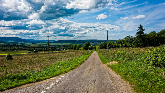
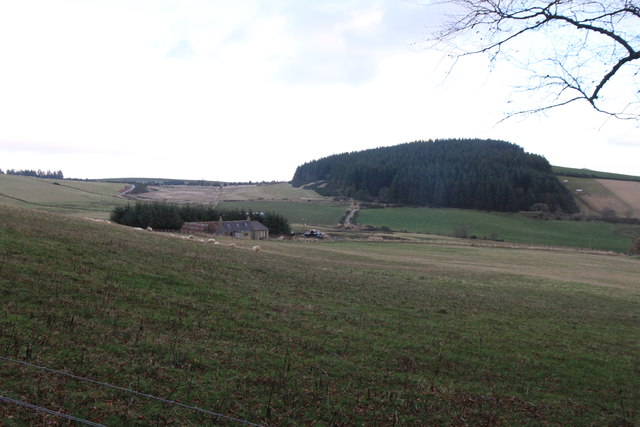
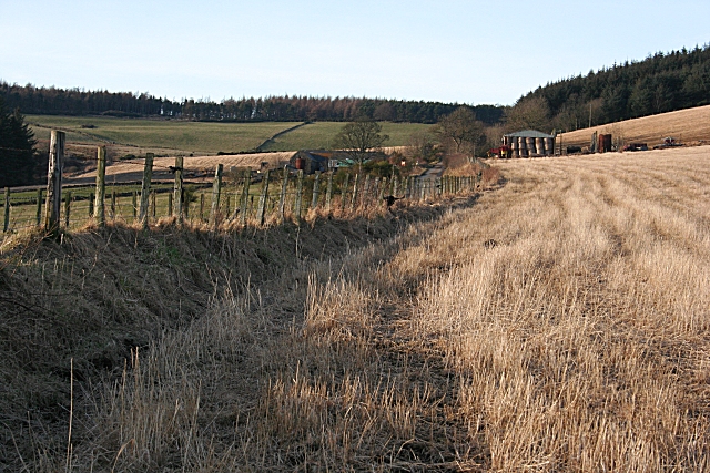
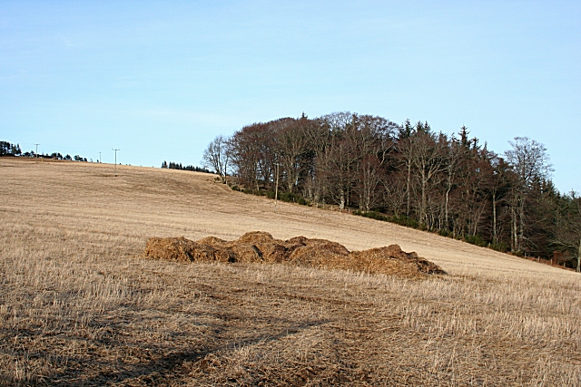
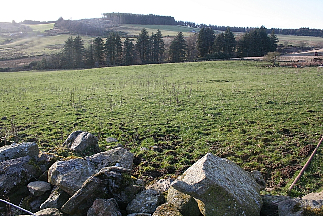
Barn Hill, located in Banffshire, Scotland, is a prominent hill that offers stunning panoramic views of the surrounding countryside. Standing at an elevation of around 346 meters (1,135 feet), it dominates the landscape with its distinctive shape and rugged terrain.
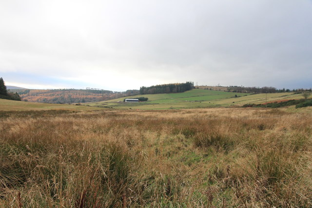
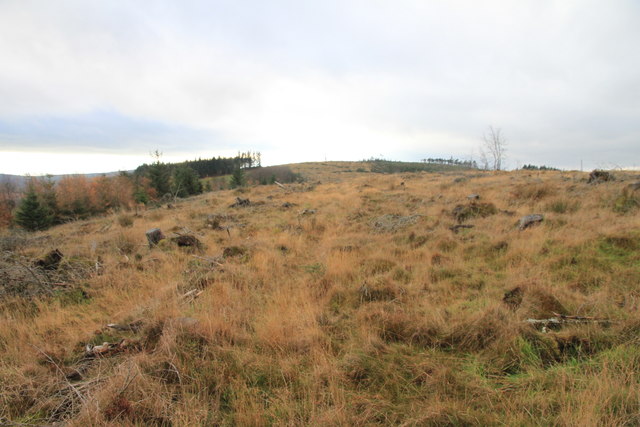
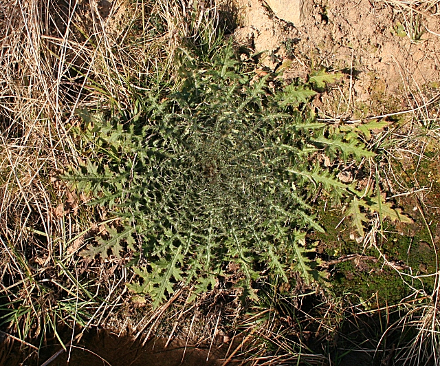
The hill is primarily composed of granite, which gives it a unique appearance and adds to its charm. It is covered in a mixture of heather, grasses, and scattered shrubs, creating a diverse and vibrant ecosystem. Various species of birds, such as red grouse and black grouse, can often be spotted in the area, adding to its natural beauty.
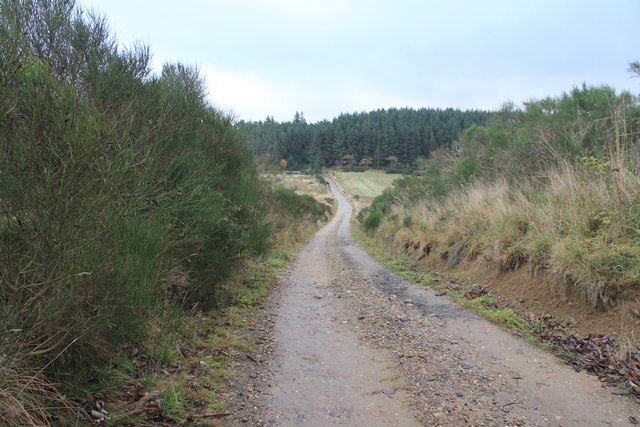
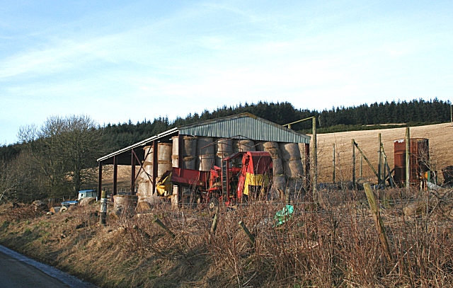
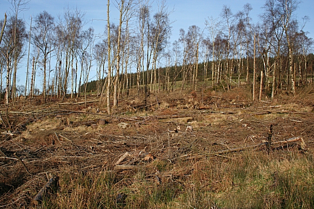
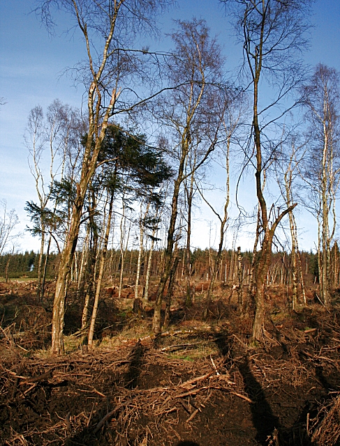
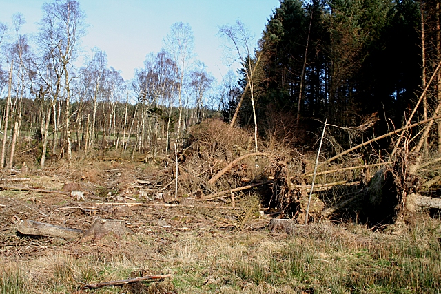
Barn Hill is a popular destination for hikers and nature enthusiasts who are drawn to its challenging yet rewarding trails. The ascent to the summit can be moderately steep in some parts, but the effort is well worth it once you reach the top. From there, visitors are rewarded with breathtaking views of the rolling hills, distant mountains, and the sparkling waters of the North Sea.
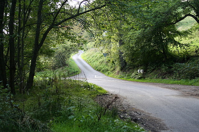
The hill is easily accessible by foot, with several well-marked paths leading to the top. It is recommended to bring appropriate footwear and clothing, as the weather can be unpredictable, particularly during the winter months. Additionally, it is advisable to take precautions and be mindful of potential hazards, such as slippery rocks and uneven terrain.
Overall, Barn Hill is a picturesque and captivating destination, offering a memorable experience for those who venture to its summit. Whether you are an avid hiker or simply seeking a peaceful retreat in nature, this hill in Banffshire is sure to leave a lasting impression.
If you have any feedback on the listing, please let us know in the comments section below.
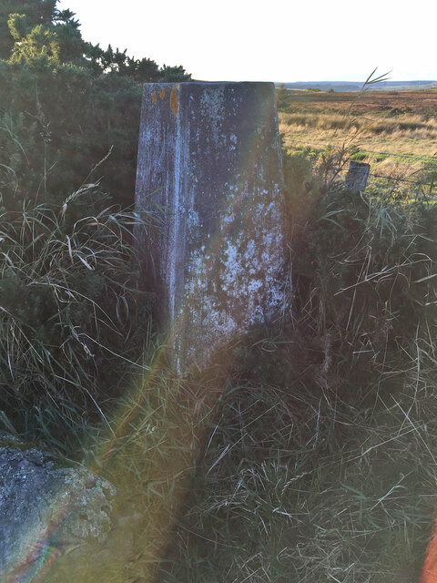
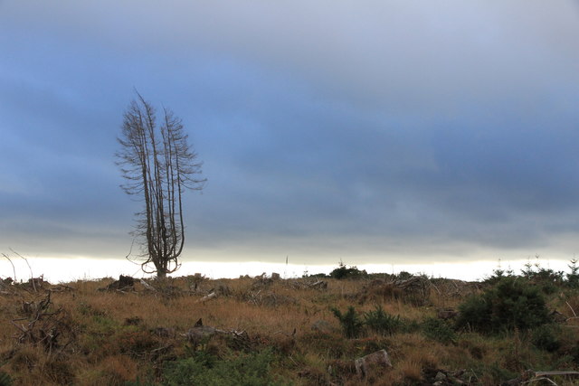
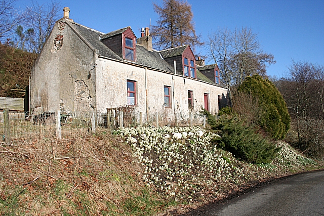
Barn Hill Images
Images are sourced within 2km of 57.547227/-2.7237568 or Grid Reference NJ5651. Thanks to Geograph Open Source API. All images are credited.

Barn Hill is located at Grid Ref: NJ5651 (Lat: 57.547227, Lng: -2.7237568)
Unitary Authority: Moray
Police Authority: North East
What 3 Words
///goes.brisk.eagles. Near Aberchirder, Aberdeenshire
Nearby Locations
Related Wikis
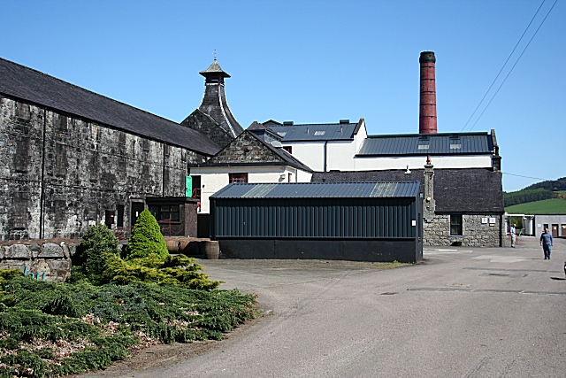
Knockdhu distillery
Knockdhu distillery is a whisky distillery situated in Knock, Banffshire and owned by Inver House Distillers Limited. == History == The distillery was...

Knock railway station (Scotland)
Knock railway station was an intermediate stop situated on the Great North of Scotland Railway (GNoSR) line from Grange and Cairnie Junction to Tillynaught...

Milltown of Rothiemay
Milltown of Rothiemay (Scottish Gaelic: Ràth a' Mhuigh) is a small inland village, built mostly of granite, in the north-east of Scotland and is within...

Glenbarry railway station
Glenbarry railway station, previously known as Barry was an intermediate stop with a passing loop situated on the Great North of Scotland Railway (GNoSR...
Nearby Amenities
Located within 500m of 57.547227,-2.7237568Have you been to Barn Hill?
Leave your review of Barn Hill below (or comments, questions and feedback).