Moss of Mayen
Downs, Moorland in Banffshire
Scotland
Moss of Mayen
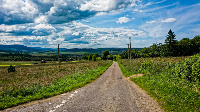
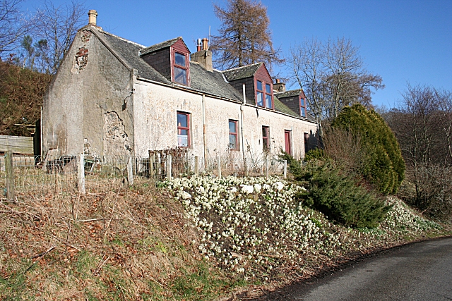
Moss of Mayen is a captivating area located in Banffshire, Scotland. Situated amidst the stunning Downs and Moorland landscapes, Moss of Mayen offers a unique and picturesque setting that is both serene and awe-inspiring.
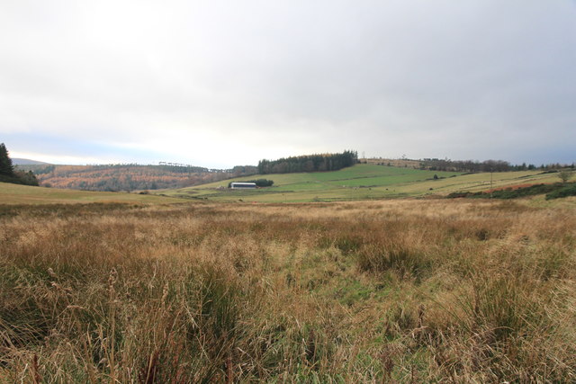
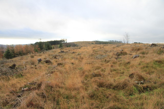
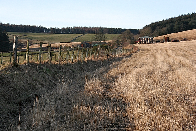
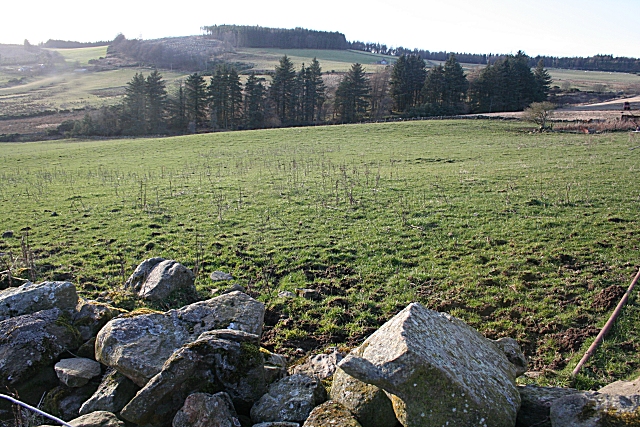
Covering a vast expanse of land, Moss of Mayen is characterized by its lush green mosses and dense vegetation, creating a vibrant and diverse ecosystem. The mosses that blanket the area provide a soft and springy ground, making it a haven for various plant species and wildlife.
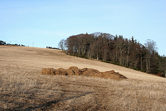
The Downs of Moss of Mayen showcase rolling hills and gentle slopes, offering breathtaking views of the surrounding countryside. These hills are home to a variety of plant life, including heather, gorse, and wildflowers, which create a beautiful tapestry of colors throughout the seasons.
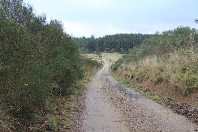
The Moorland of Moss of Mayen presents a different yet equally enchanting landscape. Here, vast stretches of open land are adorned with heather and grasses, providing a habitat for a range of bird species, such as curlews and lapwings. The Moorland is also home to numerous small mammals, including rabbits and hares.
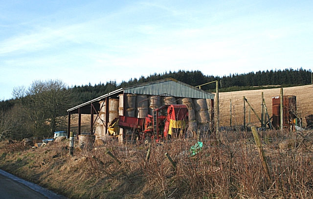
Moss of Mayen attracts nature enthusiasts and hikers who are drawn to its tranquility and natural beauty. The area offers ample opportunities for outdoor activities, including walking, birdwatching, and photography.
In summary, Moss of Mayen in Banffshire, Scotland, is a captivating destination that showcases the beauty of Downs and Moorland landscapes. Its lush mosses, rolling hills, and diverse wildlife make it a haven for nature lovers and a must-visit for those seeking a peaceful and scenic escape.
If you have any feedback on the listing, please let us know in the comments section below.
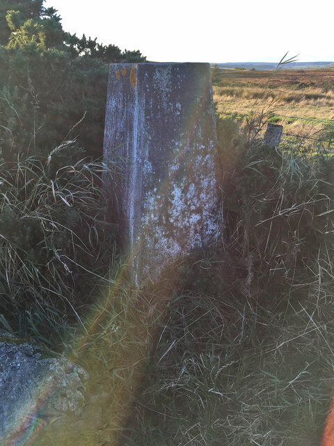
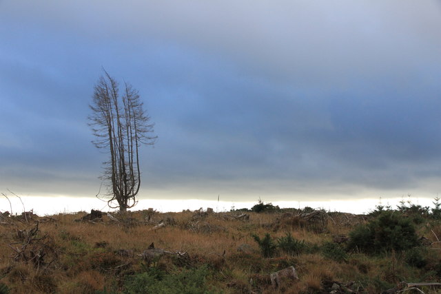
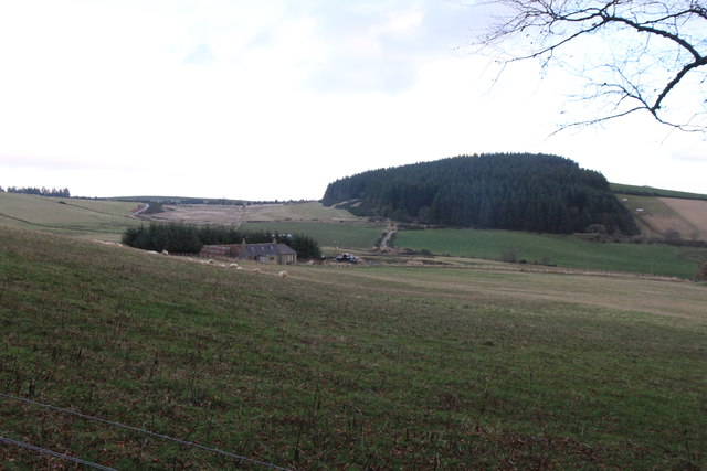
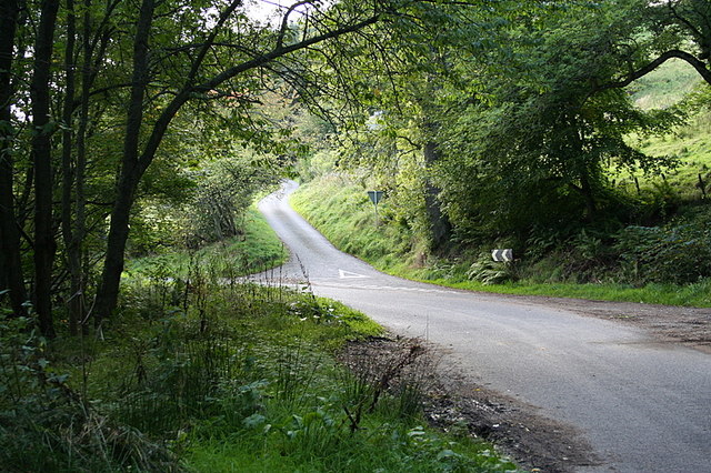
Moss of Mayen Images
Images are sourced within 2km of 57.549431/-2.7216952 or Grid Reference NJ5651. Thanks to Geograph Open Source API. All images are credited.


Moss of Mayen is located at Grid Ref: NJ5651 (Lat: 57.549431, Lng: -2.7216952)
Unitary Authority: Moray
Police Authority: North East
What 3 Words
///dollar.parsnip.landscape. Near Aberchirder, Aberdeenshire
Nearby Locations
Related Wikis
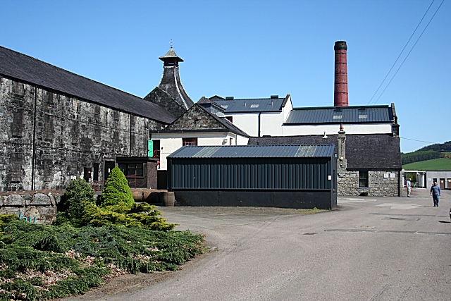
Knockdhu distillery
Knockdhu distillery is a whisky distillery situated in Knock, Banffshire and owned by Inver House Distillers Limited. == History == The distillery was...

Knock railway station (Scotland)
Knock railway station was an intermediate stop situated on the Great North of Scotland Railway (GNoSR) line from Grange and Cairnie Junction to Tillynaught...

Milltown of Rothiemay
Milltown of Rothiemay (Scottish Gaelic: Ràth a' Mhuigh) is a small inland village, built mostly of granite, in the north-east of Scotland and is within...

Glenbarry railway station
Glenbarry railway station, previously known as Barry was an intermediate stop with a passing loop situated on the Great North of Scotland Railway (GNoSR...

River Isla, Moray
The River Isla (Scottish Gaelic: Uisge Ìle) is a tributary of the River Deveron in North-East Scotland. The area surrounding it is known as Strathisla...
Mountains Burn
Mountains Burn is a burn which marks the boundary of the parish of Huntly, Aberdeenshire, Scotland. == References ==

Millegin railway station
Millegin railway station, Millagan railway station or later Millegin Siding was briefly an intermediate stop situated on what became the Great North of...

Fourman Hill
Fourman Hill is a hill located west of Bogniebrae, Aberdeenshire, Scotland. It has an elevation of 1,127 feet (344 m). A cairn near the summit marked the...
Nearby Amenities
Located within 500m of 57.549431,-2.7216952Have you been to Moss of Mayen?
Leave your review of Moss of Mayen below (or comments, questions and feedback).