Bo Hill
Hill, Mountain in Banffshire
Scotland
Bo Hill
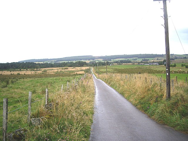
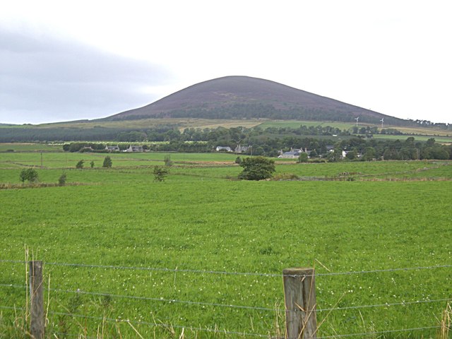
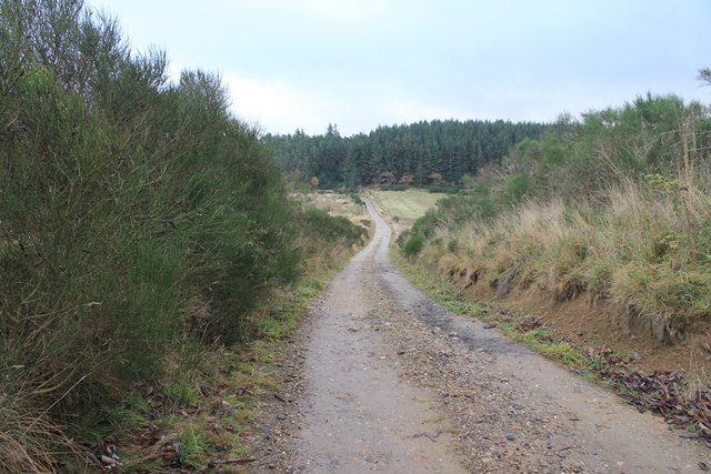
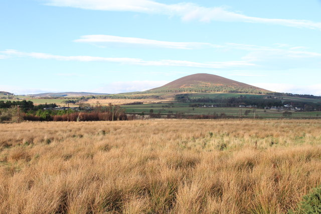
Bo Hill, located in Banffshire, Scotland, is a prominent hill that stands at an elevation of 275 meters (902 feet). Offering breathtaking views of the surrounding landscape, it is a popular destination for both locals and tourists seeking outdoor adventures.
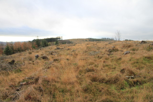
The hill is characterized by its gentle slopes covered with lush green vegetation, making it an ideal spot for hiking and walking enthusiasts. Bo Hill is easily accessible, with well-maintained paths leading to its summit, ensuring a pleasant and safe journey for visitors. The terrain is relatively straightforward, making it suitable for individuals of various fitness levels.
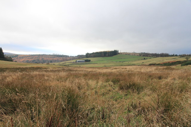
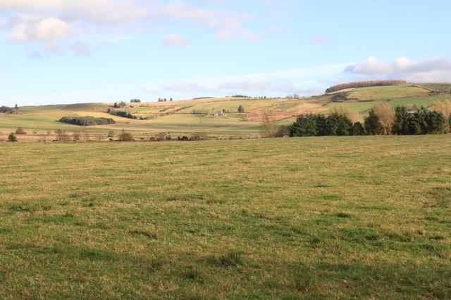
From the peak of Bo Hill, visitors are rewarded with panoramic vistas of the picturesque Banffshire countryside. The rolling hills, scattered farms, and charming villages create a postcard-worthy scene. On clear days, it is even possible to catch glimpses of the nearby coast and the North Sea.
Nature enthusiasts can also appreciate the diverse flora and fauna that call Bo Hill home. The hillside is adorned with a variety of wildflowers, adding vibrant colors to the landscape during the warmer months. Birdwatchers may spot species such as buzzards, kestrels, and even the occasional golden eagle soaring above.
Overall, Bo Hill offers a serene and tranquil escape from the hustle and bustle of everyday life. Whether visitors are seeking a peaceful walk in nature, stunning views, or an opportunity to immerse themselves in Scotland's natural beauty, Bo Hill is a must-visit destination in Banffshire.
If you have any feedback on the listing, please let us know in the comments section below.
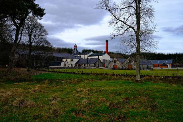
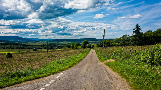
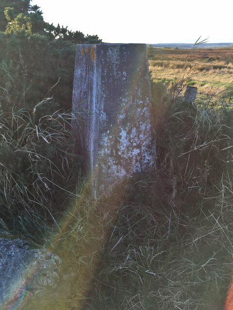
Bo Hill Images
Images are sourced within 2km of 57.552453/-2.7349559 or Grid Reference NJ5651. Thanks to Geograph Open Source API. All images are credited.


Bo Hill is located at Grid Ref: NJ5651 (Lat: 57.552453, Lng: -2.7349559)
Unitary Authority: Moray
Police Authority: North East
What 3 Words
///laminate.dentures.sped. Near Aberchirder, Aberdeenshire
Nearby Locations
Related Wikis
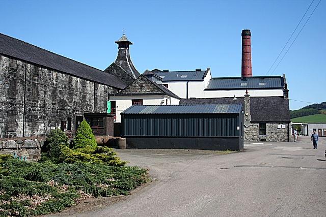
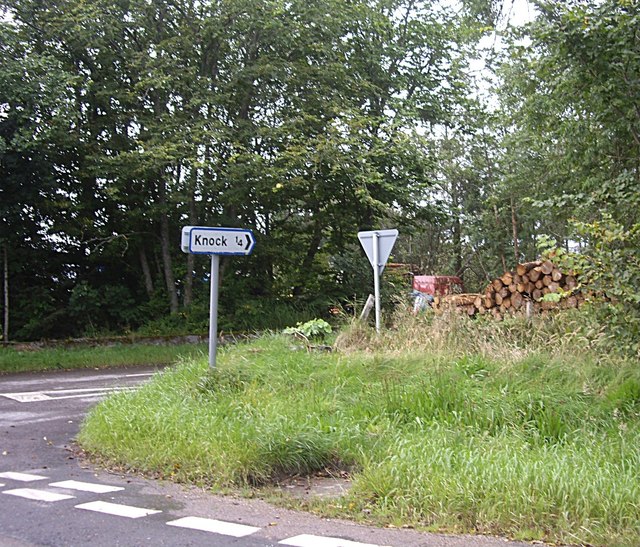
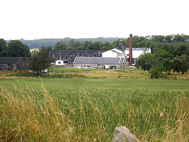
Knockdhu distillery
Knockdhu distillery is a whisky distillery situated in Knock, Banffshire and owned by Inver House Distillers Limited. == History == The distillery was...

Knock railway station (Scotland)
Knock railway station was an intermediate stop situated on the Great North of Scotland Railway (GNoSR) line from Grange and Cairnie Junction to Tillynaught...

Glenbarry railway station
Glenbarry railway station, previously known as Barry was an intermediate stop with a passing loop situated on the Great North of Scotland Railway (GNoSR...

Milltown of Rothiemay
Milltown of Rothiemay (Scottish Gaelic: Ràth a' Mhuigh) is a small inland village, built mostly of granite, in the north-east of Scotland and is within...

Millegin railway station
Millegin railway station, Millagan railway station or later Millegin Siding was briefly an intermediate stop situated on what became the Great North of...

River Isla, Moray
The River Isla (Scottish Gaelic: Uisge Ìle) is a tributary of the River Deveron in North-East Scotland. The area surrounding it is known as Strathisla...
Farmtown
Farmtown is a village in the Moray council area of Scotland. Farmtown lies on the junction of the A95 and B9117 roads east of the town of Keith.
Mountains Burn
Mountains Burn is a burn which marks the boundary of the parish of Huntly, Aberdeenshire, Scotland. == References ==
Nearby Amenities
Located within 500m of 57.552453,-2.7349559Have you been to Bo Hill?
Leave your review of Bo Hill below (or comments, questions and feedback).