Annett Hill
Hill, Mountain in Roxburghshire
Scotland
Annett Hill

Annett Hill is a prominent hill located in the county of Roxburghshire, Scotland. Situated in the southern part of the country, it forms an integral part of the picturesque landscape of the region. The hill is known for its natural beauty, offering breathtaking views of the surrounding countryside.
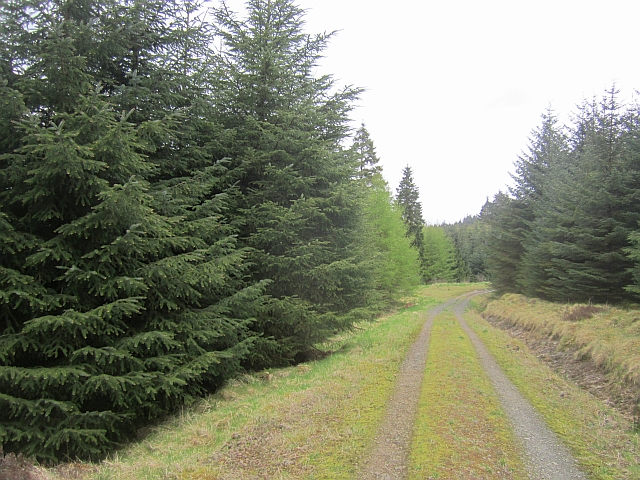
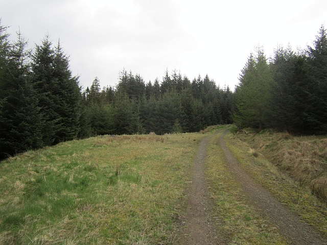
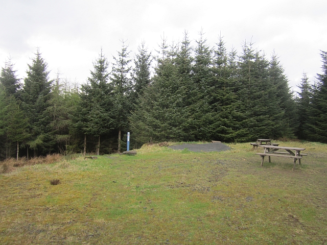
Rising to an impressive height of approximately 500 meters (1,640 feet), Annett Hill provides a challenging ascent for outdoor enthusiasts and hikers. It is a popular destination for those seeking outdoor activities, such as hillwalking and nature exploration. The hill's well-defined trails and paths make it accessible for both novice and experienced hikers, ensuring a rewarding experience for all visitors.
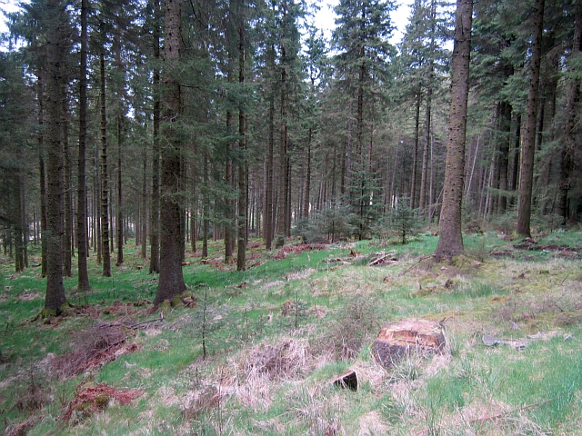
Annett Hill boasts a rich biodiversity, with various plant and animal species thriving in its diverse habitats. The hill is home to a range of bird species, including buzzards, kestrels, and peregrine falcons, making it an excellent spot for birdwatchers. The flora of the hill includes a variety of wildflowers, heather, and native grasses, adding to its natural charm.
The summit of Annett Hill offers awe-inspiring panoramic views of the surrounding countryside, including the scenic valleys, rolling hills, and meandering rivers. On a clear day, it is even possible to catch a glimpse of the distant Scottish Borders. The hill's vantage point is a perfect spot for photography enthusiasts, capturing the beauty of the Scottish landscape.
Overall, Annett Hill in Roxburghshire is a captivating natural landmark that attracts outdoor enthusiasts, hikers, birdwatchers, and nature lovers alike. With its stunning views and diverse ecosystem, it offers a memorable experience for all who visit.
If you have any feedback on the listing, please let us know in the comments section below.
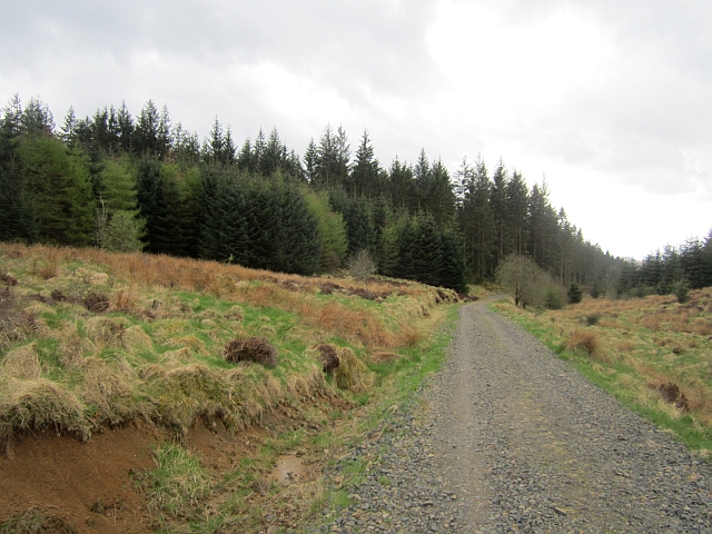
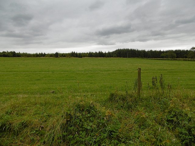
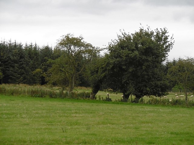
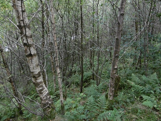
Annett Hill Images
Images are sourced within 2km of 55.198451/-2.767688 or Grid Reference NY5189. Thanks to Geograph Open Source API. All images are credited.


Annett Hill is located at Grid Ref: NY5189 (Lat: 55.198451, Lng: -2.767688)
Unitary Authority: The Scottish Borders
Police Authority: The Lothians and Scottish Borders
What 3 Words
///nasal.romantics.sing. Near Langholm, Dumfries & Galloway
Nearby Locations
Related Wikis

Liddel Castle
Liddel Castle is a ruined castle in Liddesdale, by the Liddel Water, near Castleton in the Scottish Borders area of Scotland, in the former county of Roxburghshire...

Dinlabyre
Dinlabyre is a village on the B6357 in Liddesdale, on the edge of the Newcastleton Forest, close to Castleton, in the Scottish Borders area of Scotland...
Steele Road railway station
Steele Road railway station served the hamlet of Steele Road, Scottish Borders, Scotland, from 1862 to 1969 on the Border Union Railway. == History... ==

Castleton, Scottish Borders
Castleton (Scottish Gaelic: Baile Chaisteil) is a civil parish in the Scottish Borders area of Scotland, in the former Roxburghshire, in the extreme south...

Newcastleton railway station
Newcastleton railway station served the village of Newcastleton, Scottish Borders, Scotland from 1862 to 1969 on the Border Union Railway. == History... ==
Newcastleton
Newcastleton, also called Copshaw Holm, is a village in Liddesdale, the Scottish Borders, a few miles from the border with England, on the Liddel Water...

Ettleton
Ettleton is a village near Castleton, in the Scottish Borders area of Scotland, in the former Roxburghshire. == Etymology and history == Ettleton Parish...

Mangerton Tower
Mangerton Tower is a ruined Scottish tower castle house formerly belonging to the Armstrong family. Mangerton Tower is at Mangerton in Newcastleton or...
Nearby Amenities
Located within 500m of 55.198451,-2.767688Have you been to Annett Hill?
Leave your review of Annett Hill below (or comments, questions and feedback).