Castleton Muir
Downs, Moorland in Roxburghshire
Scotland
Castleton Muir

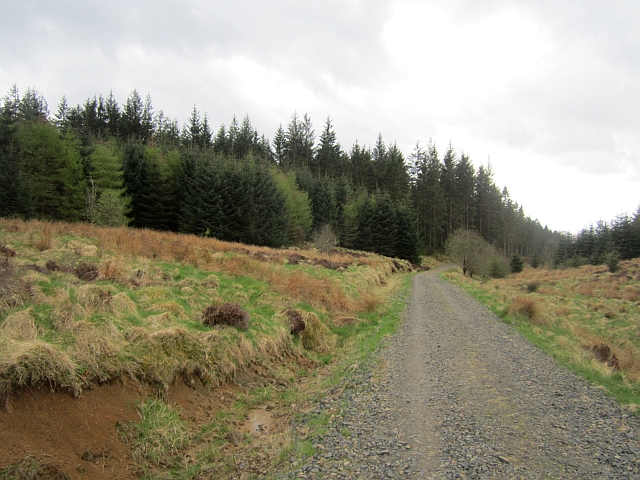
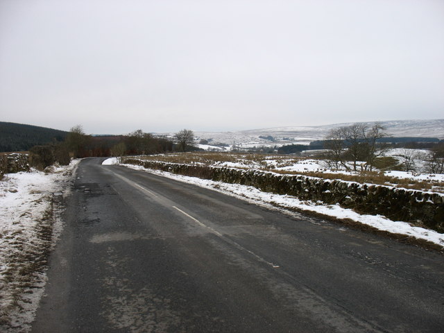
Castleton Muir is a picturesque area located in Roxburghshire, Scotland. It is known for its stunning downs and moorland landscapes, offering visitors a peaceful and serene environment. The Muir is situated on the edge of the Scottish Borders, providing breathtaking views of the surrounding countryside.
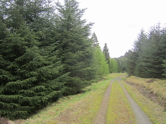
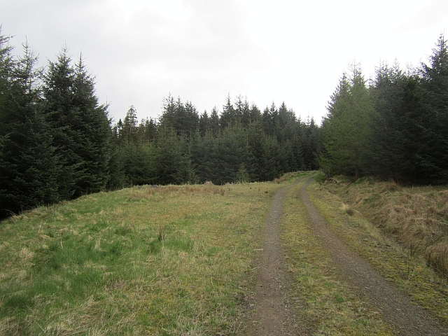
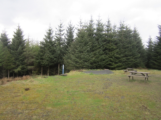
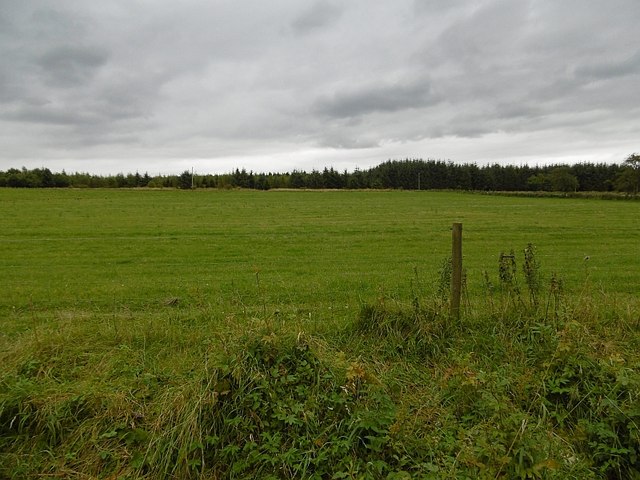
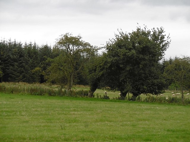
The downs of Castleton Muir are characterized by their gently rolling hills, covered in lush green grasses and scattered with wildflowers. These downs are perfect for leisurely walks and picnics, allowing visitors to immerse themselves in the beauty of nature. The area is also home to a diverse range of wildlife, including various bird species and small mammals, making it an ideal destination for birdwatching and nature enthusiasts.
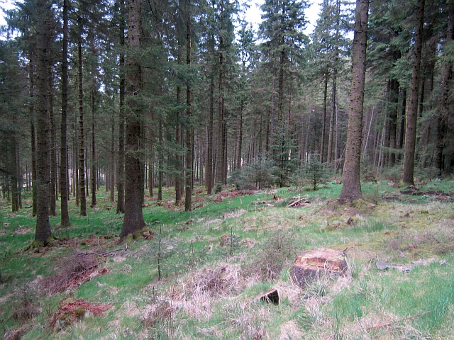
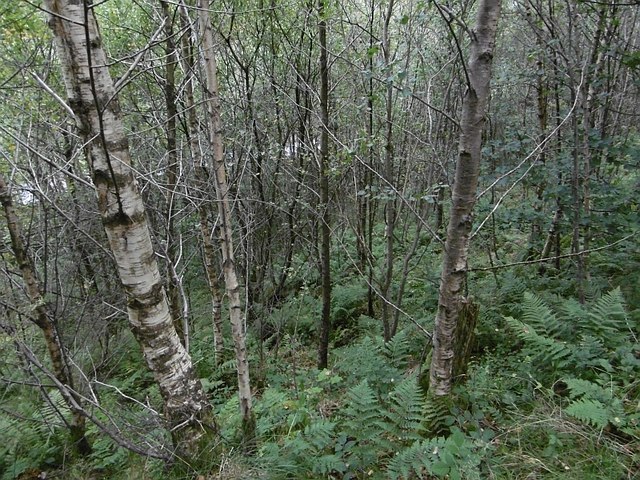
The moorland of Castleton Muir offers a different kind of beauty, with its rugged terrain and heather-covered hills. This unique landscape provides a picturesque backdrop for outdoor activities, such as hiking and mountain biking. The moorland is also home to several walking trails, allowing visitors to explore the area at their own pace.
In addition to its natural beauty, Castleton Muir has a rich history, with several ancient sites and ruins scattered throughout the area. These archaeological sites provide a glimpse into the area's past, giving visitors a chance to learn about the people who once inhabited the region.
Overall, Castleton Muir in Roxburghshire is a haven for nature lovers and history enthusiasts alike. Its downs and moorland offer a stunning backdrop for outdoor activities and provide a tranquil escape from the hustle and bustle of everyday life.
If you have any feedback on the listing, please let us know in the comments section below.
Castleton Muir Images
Images are sourced within 2km of 55.199398/-2.7642028 or Grid Reference NY5189. Thanks to Geograph Open Source API. All images are credited.


Castleton Muir is located at Grid Ref: NY5189 (Lat: 55.199398, Lng: -2.7642028)
Unitary Authority: The Scottish Borders
Police Authority: The Lothians and Scottish Borders
What 3 Words
///licks.driven.darker. Near Langholm, Dumfries & Galloway
Nearby Locations
Related Wikis

Liddel Castle
Liddel Castle is a ruined castle in Liddesdale, by the Liddel Water, near Castleton in the Scottish Borders area of Scotland, in the former county of Roxburghshire...

Dinlabyre
Dinlabyre is a village on the B6357 in Liddesdale, on the edge of the Newcastleton Forest, close to Castleton, in the Scottish Borders area of Scotland...
Steele Road railway station
Steele Road railway station served the hamlet of Steele Road, Scottish Borders, Scotland, from 1862 to 1969 on the Border Union Railway. == History... ==

Castleton, Scottish Borders
Castleton (Scottish Gaelic: Baile Chaisteil) is a civil parish in the Scottish Borders area of Scotland, in the former Roxburghshire, in the extreme south...

Newcastleton railway station
Newcastleton railway station served the village of Newcastleton, Scottish Borders, Scotland from 1862 to 1969 on the Border Union Railway. == History... ==
Newcastleton
Newcastleton, also called Copshaw Holm, is a village in Liddesdale, the Scottish Borders, a few miles from the border with England, on the Liddel Water...

Ettleton
Ettleton is a village near Castleton, in the Scottish Borders area of Scotland, in the former Roxburghshire. == Etymology and history == Ettleton Parish...

Scottish Marches
Scottish Marches was the term used for the Anglo-Scottish border during the late medieval and early modern eras, characterised by violence and cross-border...
Nearby Amenities
Located within 500m of 55.199398,-2.7642028Have you been to Castleton Muir?
Leave your review of Castleton Muir below (or comments, questions and feedback).